Boundary Creek Trail
View Photos
Boundary Creek Trail
Difficulty Rating:
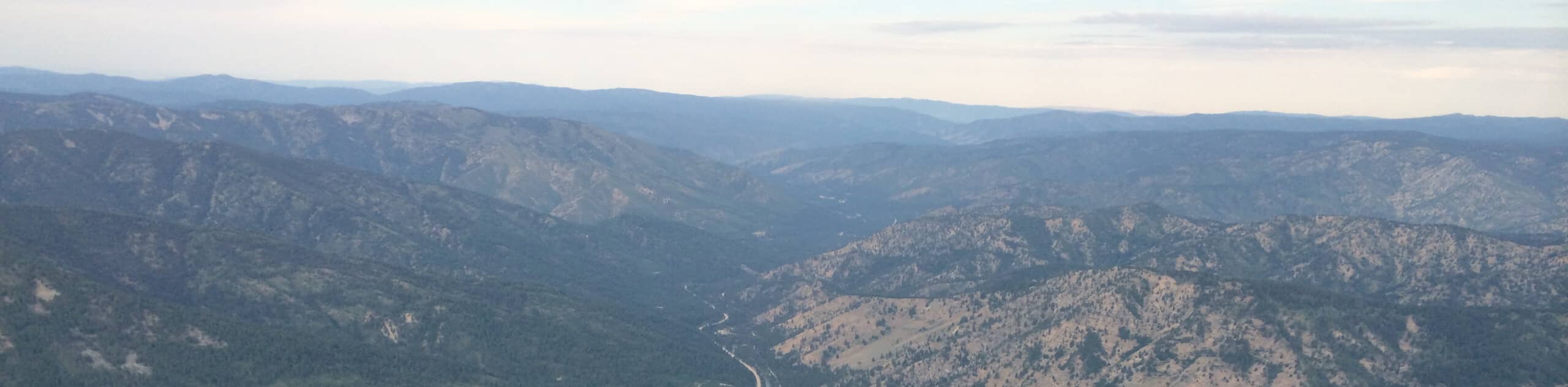
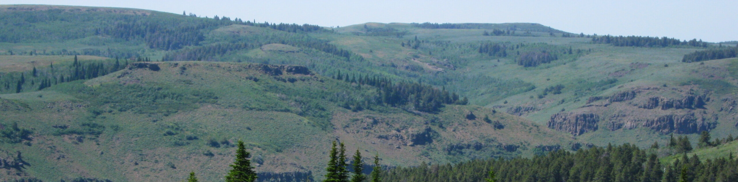
The Boundary Creek Trail boasts a relentless climb, but it reveals some of the greatest views of the Sawtooth Mountain Range, so who are we to complain? Those seeking a high-effort, high-reward type of adventure have come to the right place.
Getting there
The Boundary Creek Trail is accessed from the dirt road off State Highway 75.

About
| Backcountry Campground | Dispersed Camping |
| When to do | May-September |
| Pets allowed | Yes - On Leash |
| Family friendly | No |
| Route Signage | Average |
| Crowd Levels | Moderate |
| Route Type | Out and back |
Boundary Creek Trail
Elevation Graph
Weather
Boundary Creek Hike Description
Immerse yourself in Idaho’s mountains as you tackle the Boundary Creek Hike. This arduous ascent is a calve-burner and will undoubtedly get your heart rate up, but the views from the ridgeline are well worth the sweat. As this route travels through exposed terrain up to high altitudes, it is important to be mindful of the weather. Head up in the early morning to mitigate the chances of getting caught in an afternoon lightning storm on the crest, and make sure to dress in layers as insurance against changing conditions. Whatever you do, don’t forget your camera; the scenery is spellbinding.
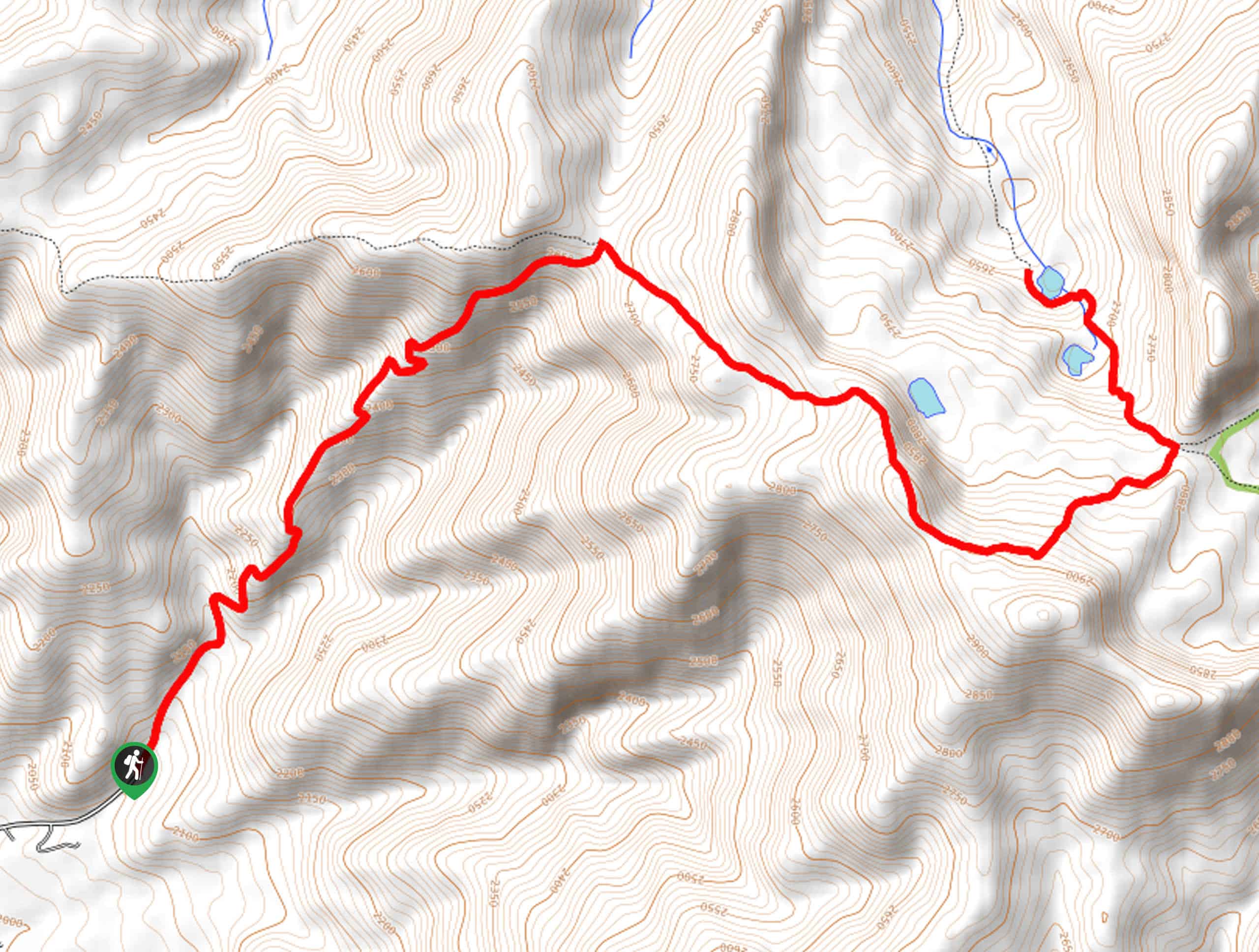
Setting out from the trailhead, the Boundary Creek Trail travels northeastwardly, immediately climbing alongside the creek. The initial section of the trek will progress through an exposed meadow before escaping beneath the tree canopy for a brief retreat from the sun. As you gain the ridge, the path will gently switch back, alternating through exposed and shaded areas. After a tireless ascent, you will summit the exposed ridgeline; turn right onto the Sunny Gulch Trail here. Take the time to indulge in the panoramic views of the snow-capped Sawtooth Mountains dominating the skyline and Redfish Lake below. If time permits, continue hiking along the Sunny Gulch Trail to the intersection with the Martin-Big Casino Trail.
Turn left, and you will descend into a basin decorated with the Casino Lakes and the Big Casino Creek. Refresh your water supply, then head back the way you came, all the way to the trailhead.
Similar hikes to the Boundary Creek Trail hike
Hyndman Creek Trail
The Hyndman Creek Trail is an enchanting adventure up the slopes of the highest peak in the Hyndman Mountains. Explore…
Warm Springs Loop Hike
Remarkable mountain views await you on the Warm Springs Loop Hike in the Sawtooth National Forest. What is a popular…
Third Fork Rock Creek Trail
The Third Fork Rock Creek Trail would make a wonderful addition to your hiking itinerary. Located in the south of…
Comments