The Deer Path Trail
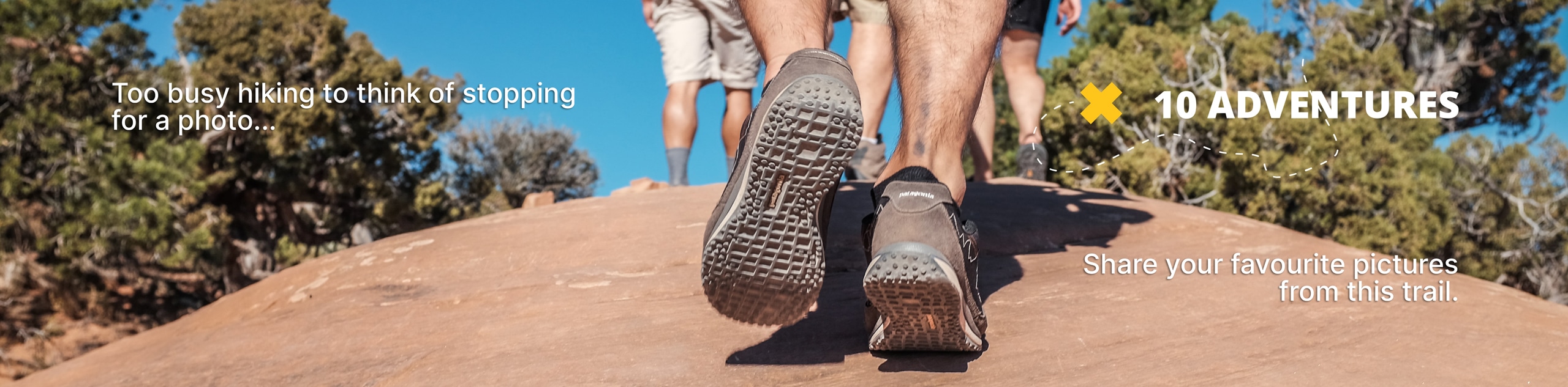
View Photos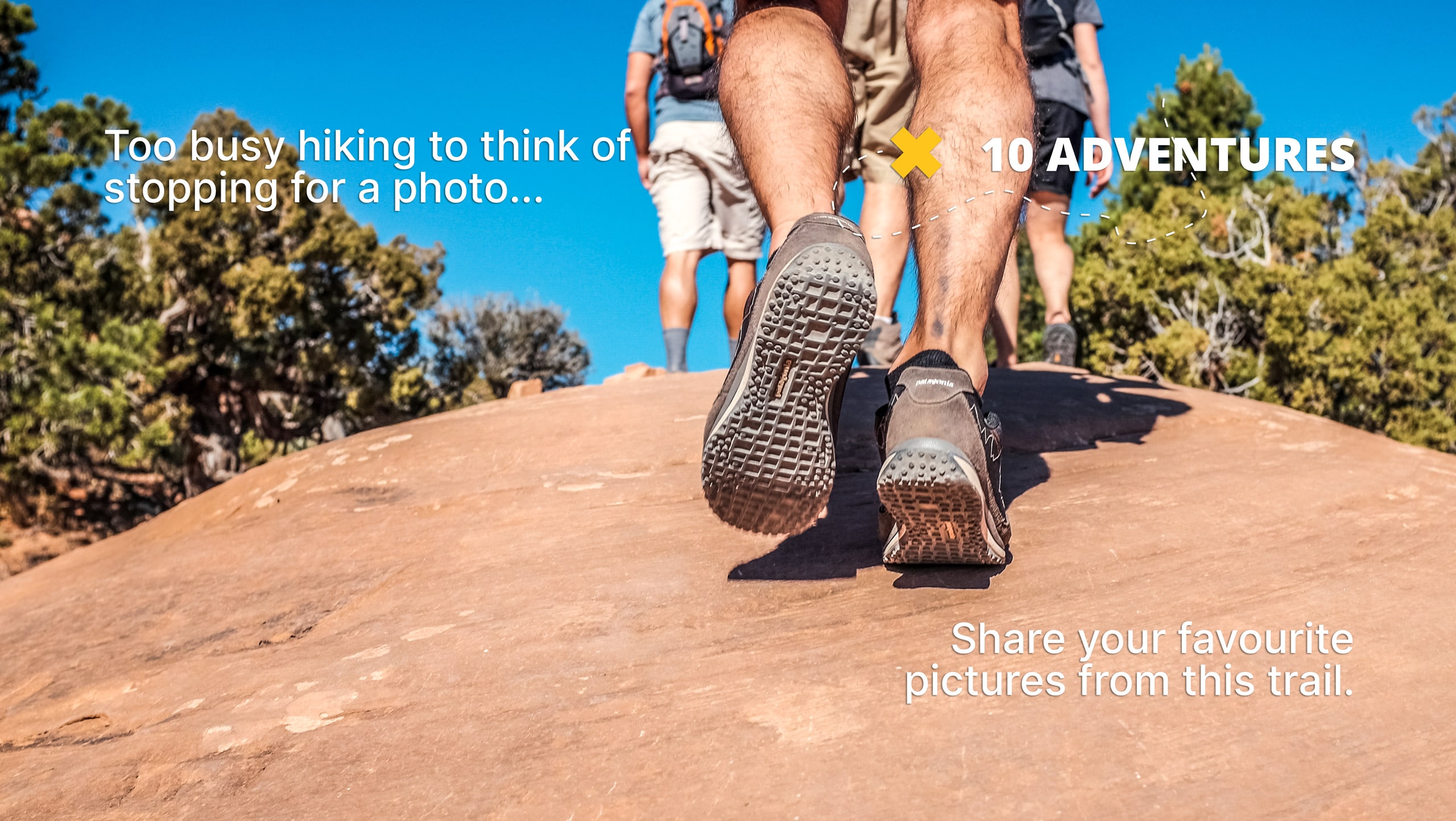
The Deer Path Trail
Difficulty Rating:
The Deer Path Trail is a beautiful but rugged hiking trail in the Uinta-Wasatch-Cache National Forest. This trail is short but it is steep and challenging. Dogs are welcome to join you on your adventure along this trail, but must be kept on leash at all times.
Getting there
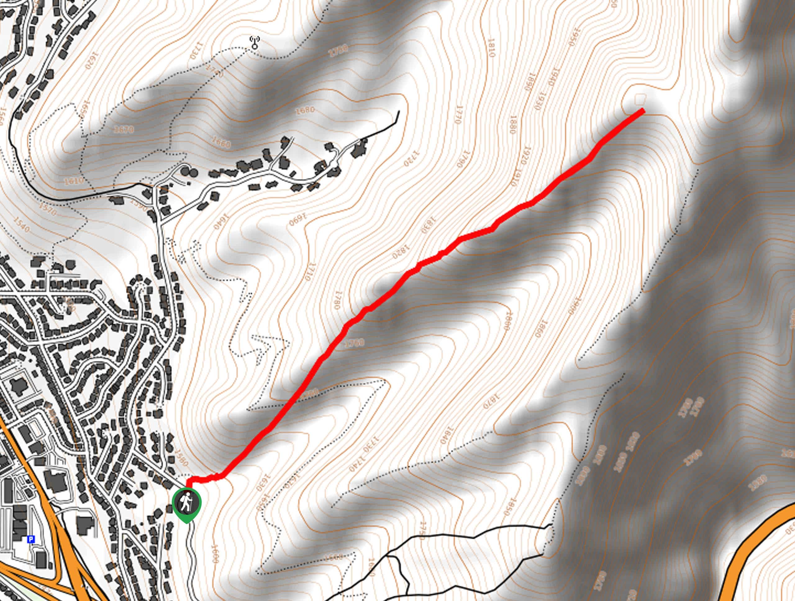
From highway 186 near Parley’s Nature Park, turn northeast onto Thunderbird Drive then take a right onto Scenic Drive. From Scenic Drive, take your first left onto Lakeline drive then take a right onto Benchmark Drive. The Deer Path Trail begins on the north side of Benchmark Drive just past Benchmark Circle.

About
| Backcountry Campground | No |
| When to do | April to October |
| Pets allowed | Yes - On Leash |
| Family friendly | No |
| Route Signage | Poor |
| Crowd Levels | Low |
| Route Type | Out and back |
The Deer Path Trail
Elevation Graph
Weather
The Deer Path Trail Description
The Deer Path Trail is a short and rugged hike on the eastern edge of Salt Lake City, Utah. This trail sees little traffic and has become quite overgrown in some sections. Hikers who want to hike the Deer Path Trail should have good route-finding abilities and an adventurous attitude. This trail is steep and rocky, so proper hiking footwear is essential. Dogs are welcome to join you on the Deer Path Trail but they must be kept on leash at all times. When hiking, keep an eye out for forest wildlife (including, of course, deer) who like to wander this route.
Beginning at Benchmark Drive, follow the trail northeast as it winds its way up to a small summit point.
Take a rest at the summit and enjoy the peace and beauty of the surrounding forest before turning around and following your footsteps back out to the trailhead.
Similar hikes to the The Deer Path Trail hike

Willow Hollow, Ridge, and Pine Hollow Trail
The Willow Hollow and Pine Hollow Trail is a beautiful route in the Uinta-Wasatch-Cache National Forest. This trail is an…

Solitude to Beaver Pond Trail
The Solitude to Beaver Ponds Trail is a beautiful hike through the Uinta-Wasatch-Cache National Forest. This trail is lush and…

City Creek Canyon Road
The City Creek Canyon Road is a popular trail just north of downtown Salt Lake City, Utah. This path is…
Comments