
City Creek Canyon Road
View Photos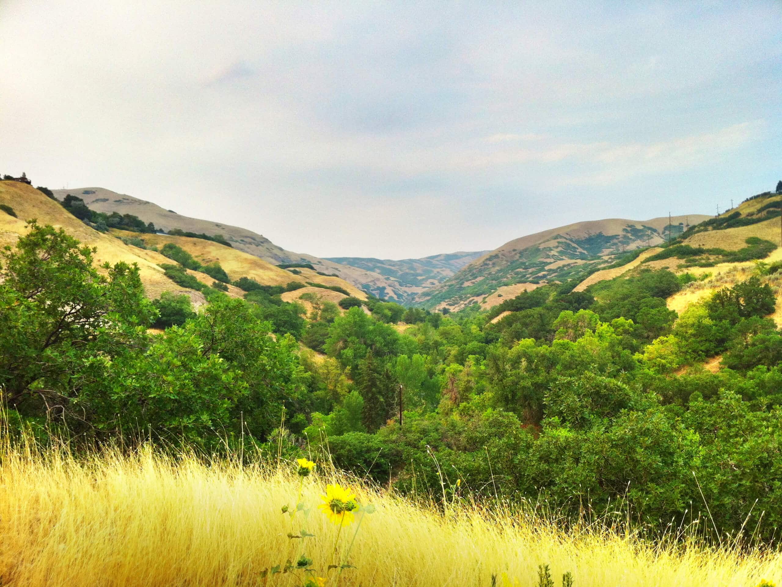
City Creek Canyon Road
Difficulty Rating:
The City Creek Canyon Road is a popular trail just north of downtown Salt Lake City, Utah. This path is paved and popular with hikers, runners, and cyclists. Dogs are only permitted on a section of this trail. For the dog-friendly route, check out the City Creek Canyon Trail.
Getting there
The City Creek Canyon Road begins at the north end of Bonneville Boulevard just north of downtown Salt Lake City.

About
| Backcountry Campground | No |
| When to do | Year-round |
| Pets allowed | No |
| Family friendly | Older Children only |
| Route Signage | Average |
| Crowd Levels | High |
| Route Type | Out and back |
City Creek Canyon Road
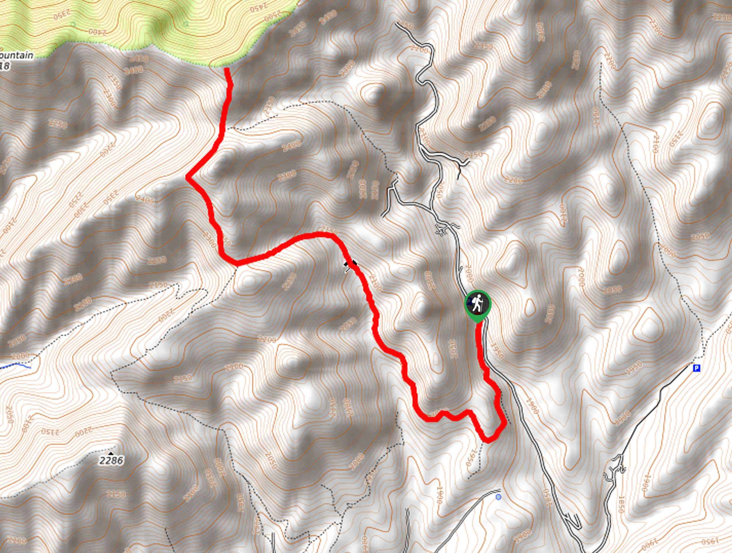
Elevation Graph
Weather
City Creek Canyon Road Description
The City Creek Canyon Road is a beautiful, paved path that winds along City Creek just north of downtown Salt Lake City. This trail is well-maintained and popular with hikers, runners and cyclists. When hiking, be sure to keep your eyes and ears open and allow folks on bikes to zip past. The City Creek Canyon Road has a gentle incline the whole way that will give you a good workout without knocking the wind out of you. As you hike along, keep an eye out for deer, songbirds, and other wildlife who frequent the area.
From the trailhead, follow the path along the east side of City Creek for nine miles before turning around and retracing your steps back to the trailhead.
If you are looking for a variation on this hike, you can connect this route with the City Creek to Memory Grove Trail.
Similar hikes to the City Creek Canyon Road hike

Willow Hollow, Ridge, and Pine Hollow Trail
The Willow Hollow and Pine Hollow Trail is a beautiful route in the Uinta-Wasatch-Cache National Forest. This trail is an…

Solitude to Beaver Pond Trail
The Solitude to Beaver Ponds Trail is a beautiful hike through the Uinta-Wasatch-Cache National Forest. This trail is lush and…
Knowlton’s Knob via The Miner’s Trail
Knowlton’s Knob via the Miner’s Trail is a gorgeous hike east of Salt Lake City. This trail is an excellent…
Comments