Thayne Canyon Trail
View Photos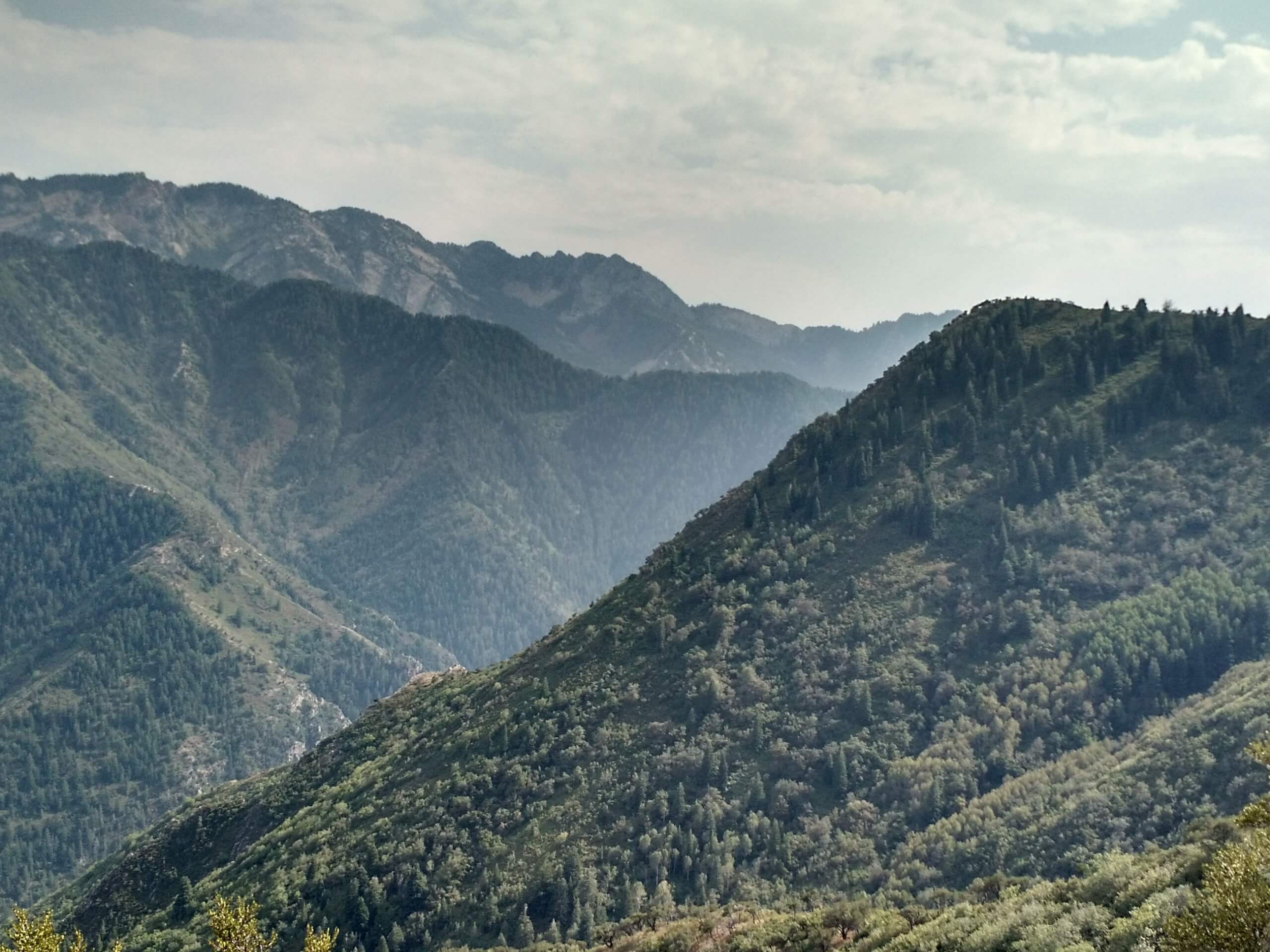
Thayne Canyon Trail
Difficulty Rating:
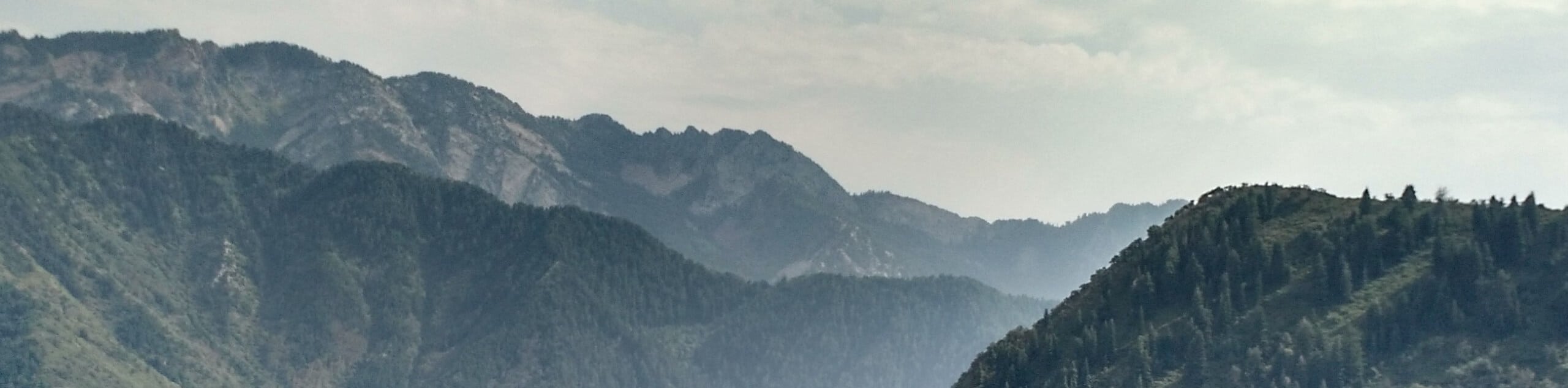
The Thayne Canyon Trail is a challenging route in the Mount Olympus Wilderness Area east of Salt Lake City. This hike ascends almost 3000ft over just 3.5mi. This trail will get your heart pumping and leave your muscles burning but the views from the top are totally worth it.
Getting there
From Wasatch Boulevard, turn east onto Mill Creek Canyon Road. Follow Mill Creek Canyon Road for 3.3mi then park at the pullout on the south side of the road, just past the Church Fork Picnic Area, the Thayne Canyon Trail begins here.

About
| Backcountry Campground | No |
| When to do | May to October |
| Pets allowed | Yes |
| Family friendly | No |
| Route Signage | Average |
| Crowd Levels | Moderate |
| Route Type | Out and back |
Thayne Canyon Trail
Elevation Graph
Weather
Thayne Canyon Trail Description
The Thayne Canyon Trail is a challenging route for experienced hikers. This trail is steep; proper hiking footwear is essential, and hiking poles are strongly recommended. Dogs are welcome on this trail, but please be aware that this is a strenuous route that may not be appropriate for all pups. If you are up for the challenge, this trail is worth the effort. The views of the Utah landscape from the top of Thayne Peak are absolutely stunning.
From the trailhead, take the path on the left and follow the trail along Thayne Canyon. After approximately 1.2mi, you will reach a series of divides. Stay left at all three divides to make the final push up to the top of Thayne Peak.
Take a well-deserved rest at the summit and soak in the incredible views before turning around and following the same route back to the trailhead.
Similar hikes to the Thayne Canyon Trail hike

Willow Hollow, Ridge, and Pine Hollow Trail
The Willow Hollow and Pine Hollow Trail is a beautiful route in the Uinta-Wasatch-Cache National Forest. This trail is an…

Solitude to Beaver Pond Trail
The Solitude to Beaver Ponds Trail is a beautiful hike through the Uinta-Wasatch-Cache National Forest. This trail is lush and…

City Creek Canyon Road
The City Creek Canyon Road is a popular trail just north of downtown Salt Lake City, Utah. This path is…
Comments