Killyon Canyon Left Fork
View Photos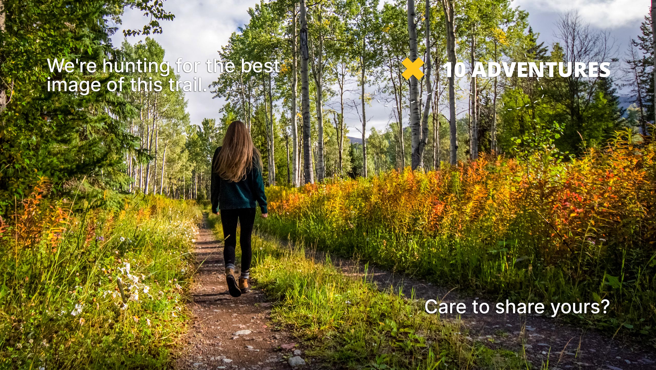
Killyon Canyon Left Fork
Difficulty Rating:
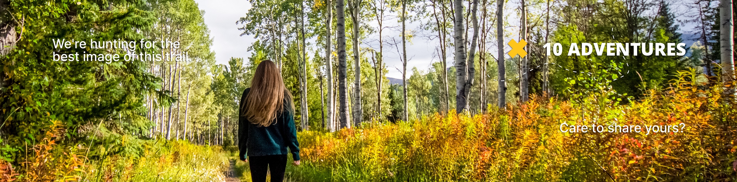
The Killyon Canyon Left Fork Trail is a gorgeous hike through the Uinta-Wasatch-Cache National Forest east of Salt Lake City. This trail can be accessed year-round, but the best time to go is between April and October. In the fall, this hike is absolutely stunning with the surrounding forest bursting with color.
Getting there
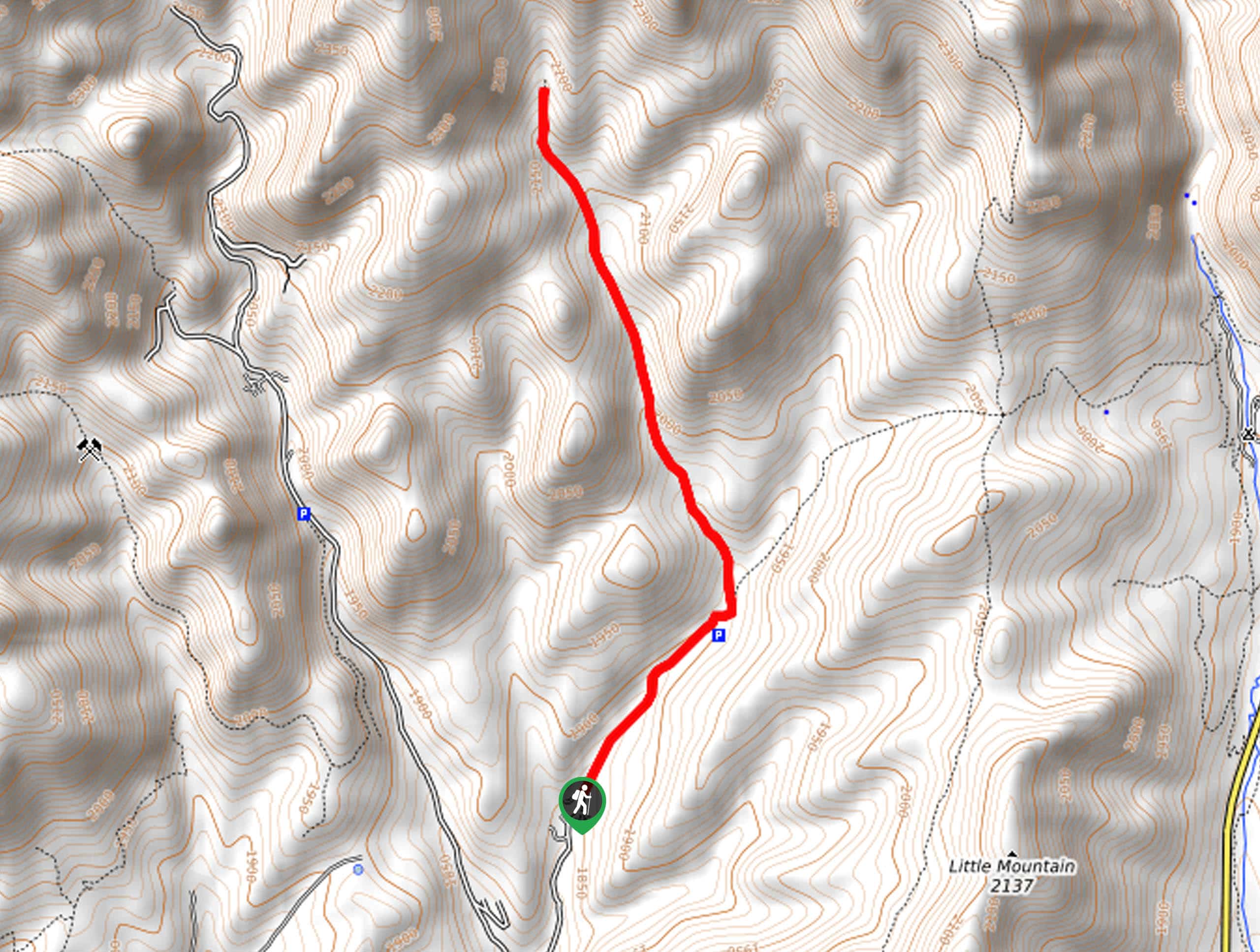
Turn northeast onto Burrs Lane From Emigration Canyon Road. At the divide, take a right onto Killyon Canyon Road. The Killyon Canyon Left Fork Trail begins at the end of Killyon Canyon Road. Parking for this hike can be difficult to find—please respect the area signage.

About
| Backcountry Campground | No |
| When to do | April to October |
| Pets allowed | Yes - On Leash |
| Route Signage | Average |
| Crowd Levels | Moderate |
| Route Type | Out and back |
Killyon Canyon Left Fork
Elevation Graph
Weather
Killyon Canyon Left Fork Description
The Killyon Canyon Left Fork is a gorgeous hike in the Emigration Canyon wilderness area east of Salt Lake City, Utah. This trail may not have the jaw-dropping views of some of the other hikes in the area, but it is a lovely walk through the lush Uinta-Wasatch-Cache National Forest. This trail is dog-friendly, though dogs must be kept on leash for the duration of their hike. The Killyon Canyon Left Fork Trail is not overly busy and is a great place to go for an afternoon stroll with the whole family.
From the trailhead at the end of Killyon Canyon Road, follow the path northeast to a divide and take the path on the left. Continue north along the trail to the route’s end.
When you reach the end of the trail, simply turn around and follow your footsteps back to the trailhead.
If you are looking for a more challenging route in the area, check out the Killyon Canyon to Lookout Peak Trail nearby.
Similar hikes to the Killyon Canyon Left Fork hike

Willow Hollow, Ridge, and Pine Hollow Trail
The Willow Hollow and Pine Hollow Trail is a beautiful route in the Uinta-Wasatch-Cache National Forest. This trail is an…

Solitude to Beaver Pond Trail
The Solitude to Beaver Ponds Trail is a beautiful hike through the Uinta-Wasatch-Cache National Forest. This trail is lush and…

City Creek Canyon Road
The City Creek Canyon Road is a popular trail just north of downtown Salt Lake City, Utah. This path is…
Comments