Mt. Aire hike
View Photos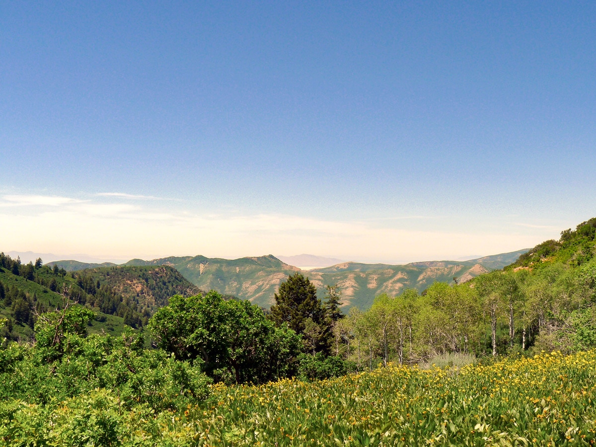
Mt. Aire hike
Difficulty Rating:
Just outside of the heart of the Wasatch, the desert-like Mt. Aire is a great hike and has some stunning views. Obviously, the people who made this trail had never heard of switchbacks!
Getting there
From Salt Lake City, enter Mill Creek Canyon via I-215. You will have to pay a $3 day fee on your way out. Follow the narrow Mill Creek Canyon Road for just over 6.0mi. The road will make a large switchback to the right, after which you will find the trailhead on your left.

About
| When to do | Spring through October, the peak does not hold snow as much as other areas |
| Backcountry Campsites | Yes, in National Forest Wilderness |
| Toilets | At trailhead |
| Family friendly | No |
| Route Signage | Average |
| Crowd Levels | Low |
| Route Type | Out and back |
Mt. Aire
Elevation Graph
Weather
Route Description for Mt. Aire
The trail begins by following the Elbow Fork River, climbing at an incredibly steep grade nearly straight up. You will pass a junction where you will continue straight toward Mt. Aire. After just over half the climbing, and plenty of sweating, you will finally exit the dense forest and find yourself on a wildflower-spotted pass. Here you will get your first views and, if you are lucky, a little breeze.
At the pass, the trail veers sharply to the right and – believe it or not – starts to switchback! It’s almost like two completely different people built this trail. From here, you will climb the steep slopes of Mt. Aire along a reasonably well-graded path.
Along this part of the trail, there is little shade and often little breeze. If you are hiking in the afternoon, be prepared to sweat. Finally, after a few more switchbacks, you will clear the summit and be done with the arduous ascent.
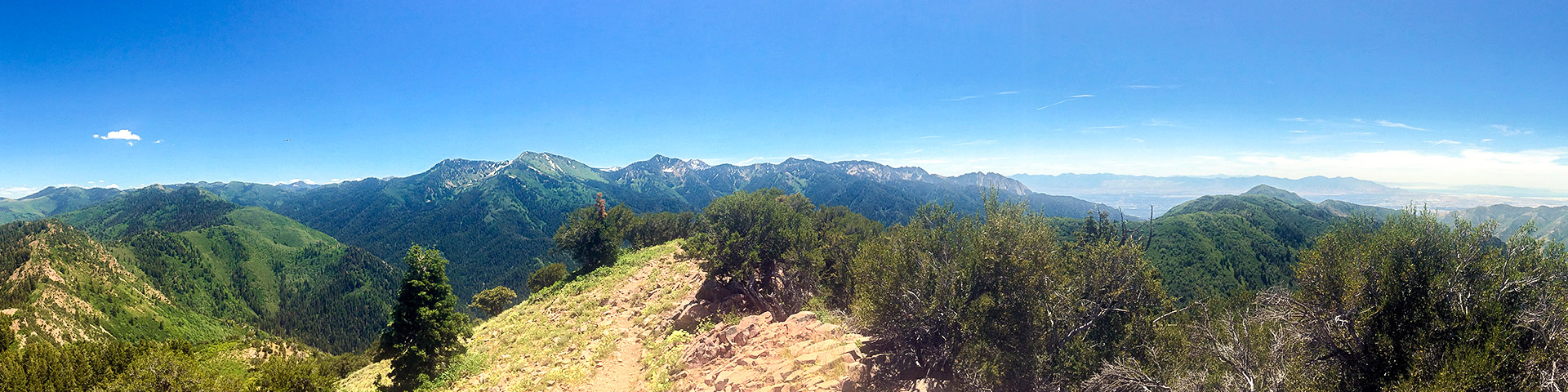
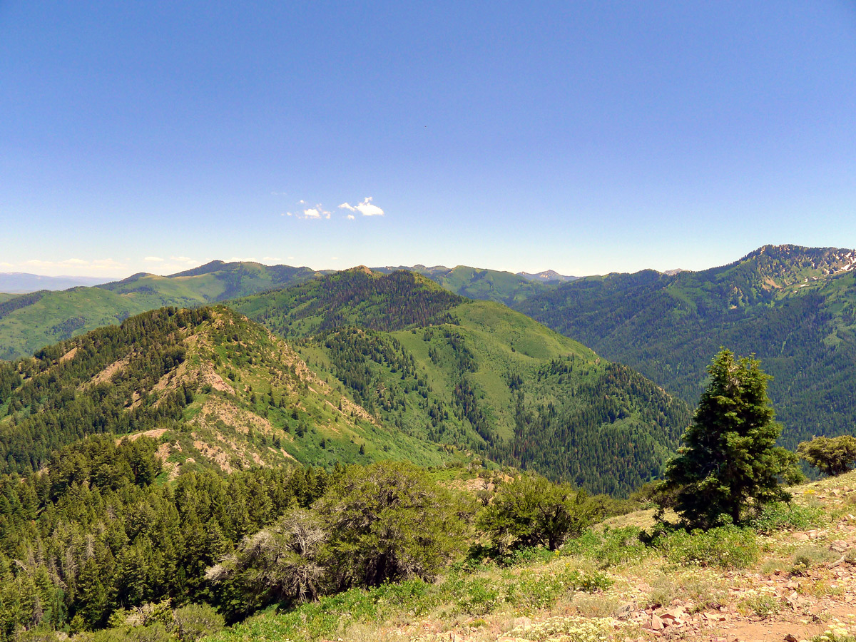
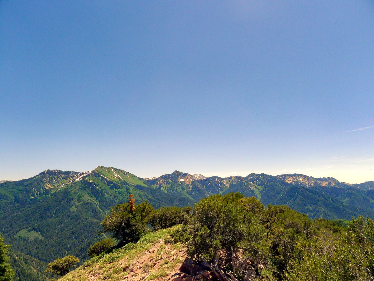
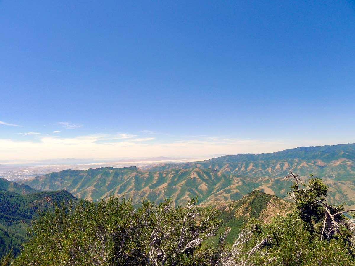
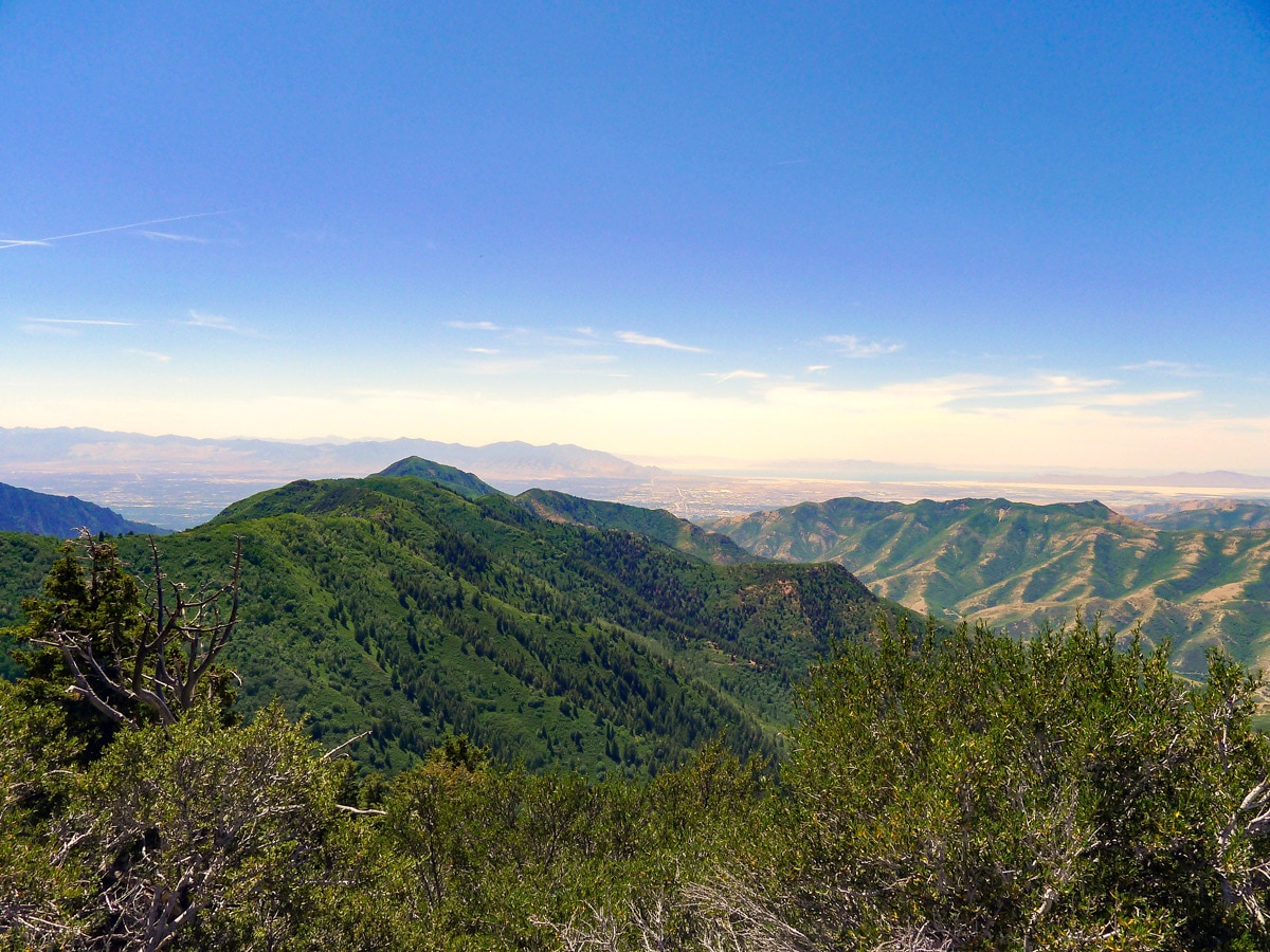
Looking north, you will be able to see the backside of Mt. Raymond – another hike on this website – and to its left, Gobbler’s Knob. To the north, the rolling, arid foothills of the Wasatch will be visible. Take a moment to sit on the smooth summit rocks before returning the way you came.
Insider Hints
Another great hike for a summit beer/beverage.
It is difficult to find water along this hike, and much of it is exposed to the sun. Bring plenty!

Similar hikes to the Mt. Aire hike

Willow Hollow, Ridge, and Pine Hollow Trail
The Willow Hollow and Pine Hollow Trail is a beautiful route in the Uinta-Wasatch-Cache National Forest. This trail is an…

Solitude to Beaver Pond Trail
The Solitude to Beaver Ponds Trail is a beautiful hike through the Uinta-Wasatch-Cache National Forest. This trail is lush and…

City Creek Canyon Road
The City Creek Canyon Road is a popular trail just north of downtown Salt Lake City, Utah. This path is…
ArnoldM 4 years ago
Absolutely beautiful!!
ShantiLewis 4 years ago
Perfect place to immerse yourself with nature.
leo_Martini 4 years ago
Simply majestic! This hike got an unparalled beauty.
Jarvie P. 4 years ago
I never thought I would enjoy this hike. I was really skeptical of the hike because I have a friend, who has a friend who had a bad experience. Glad I didn't listen.
Jane L. 4 years ago
Awesome hike. There were challenging sections, and it was very windy.
Gabriel10 4 years ago
I'm a bit disappointed because the weather wasn't very nice. The views might be better when it's sunny.
marjflores 4 years ago
The trail is exposed to elements such as extreme sunlight and winds, so wear sunscreen, bring extra layers and bring lots of water.
Annie Smith 5 years ago
Woah, what a workout. Mt Aire is a hard climb, but it was amazing at the top.
Naomi W 5 years ago
I tried to do Mt Aire hike but it was too hard. I was told how beautiful it is when you finish it but maybe next time.
SteffWilk 5 years ago
The hike was very steep. The climb really exhausted me. But a great prize was waiting at the top. Would recommend!