Donut Falls hike
View Photos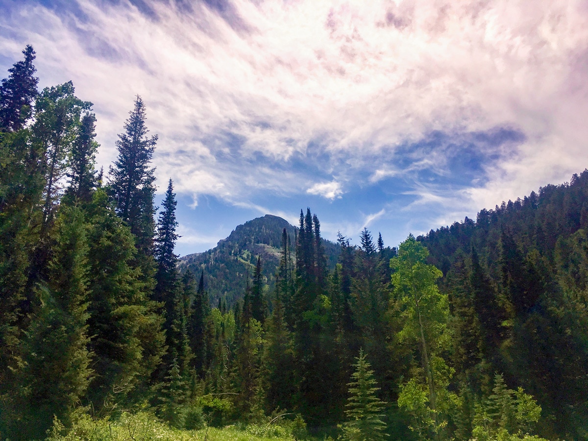
Donut Falls hike
Difficulty Rating:
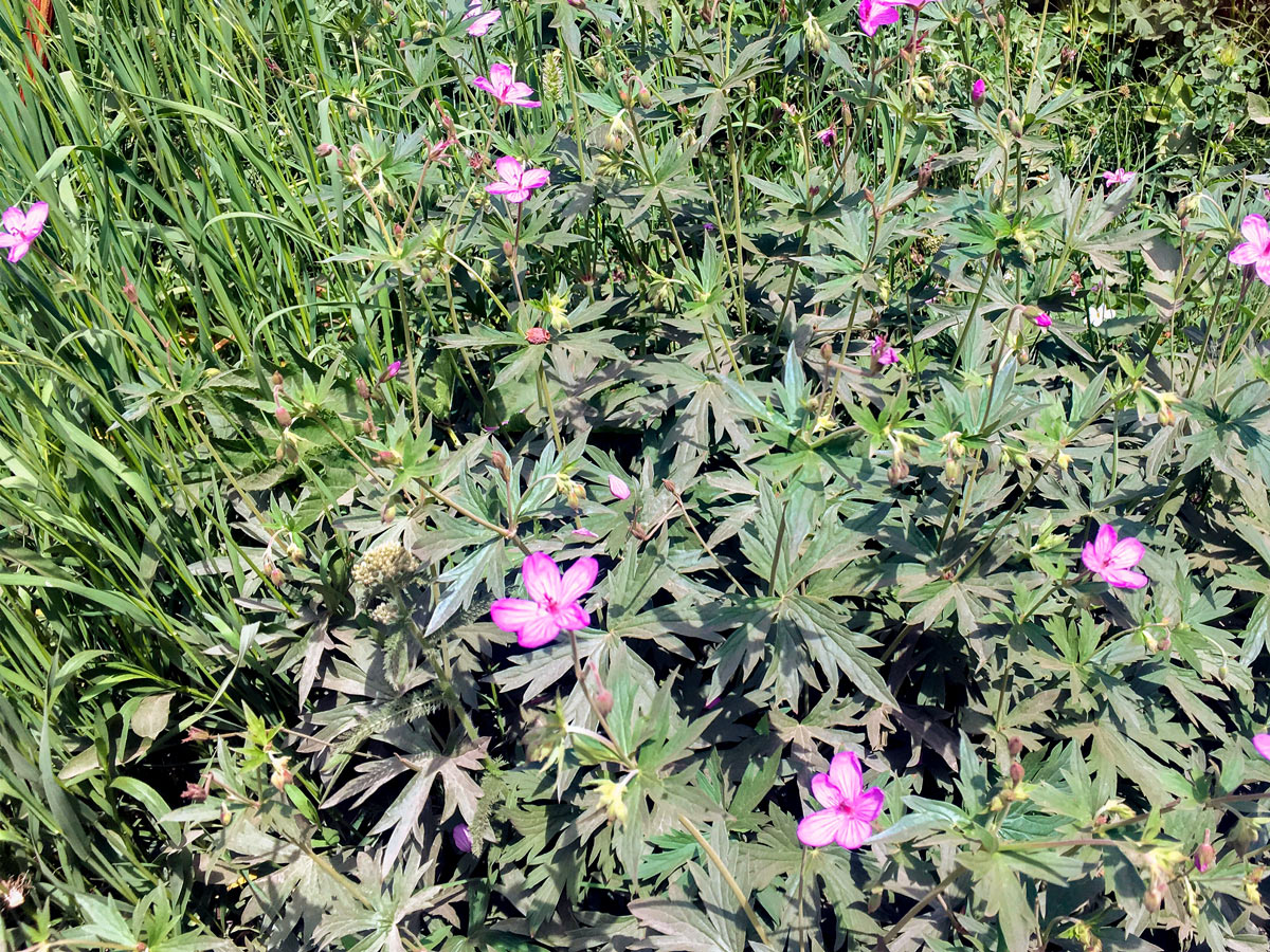
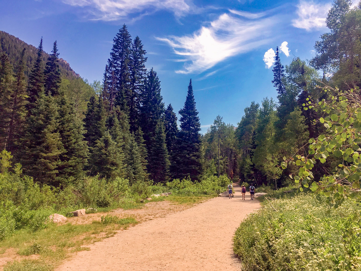
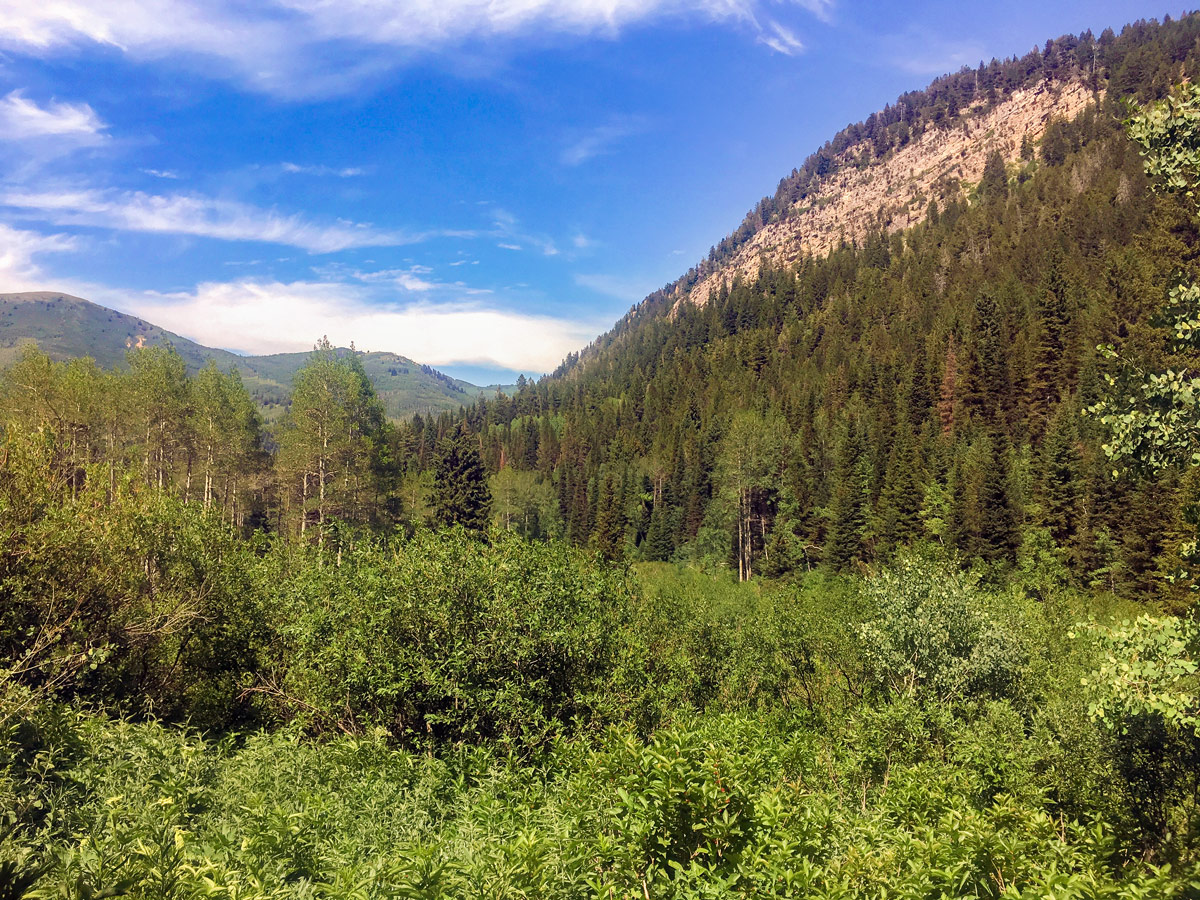
The classic family hike in Big Cottonwood Canyon, the short climb up to Donut Falls is quite spectacular. The large cascading waterfall is especially beautiful, as is the general scenery that surrounds you throughout the entire hike.
Getting there
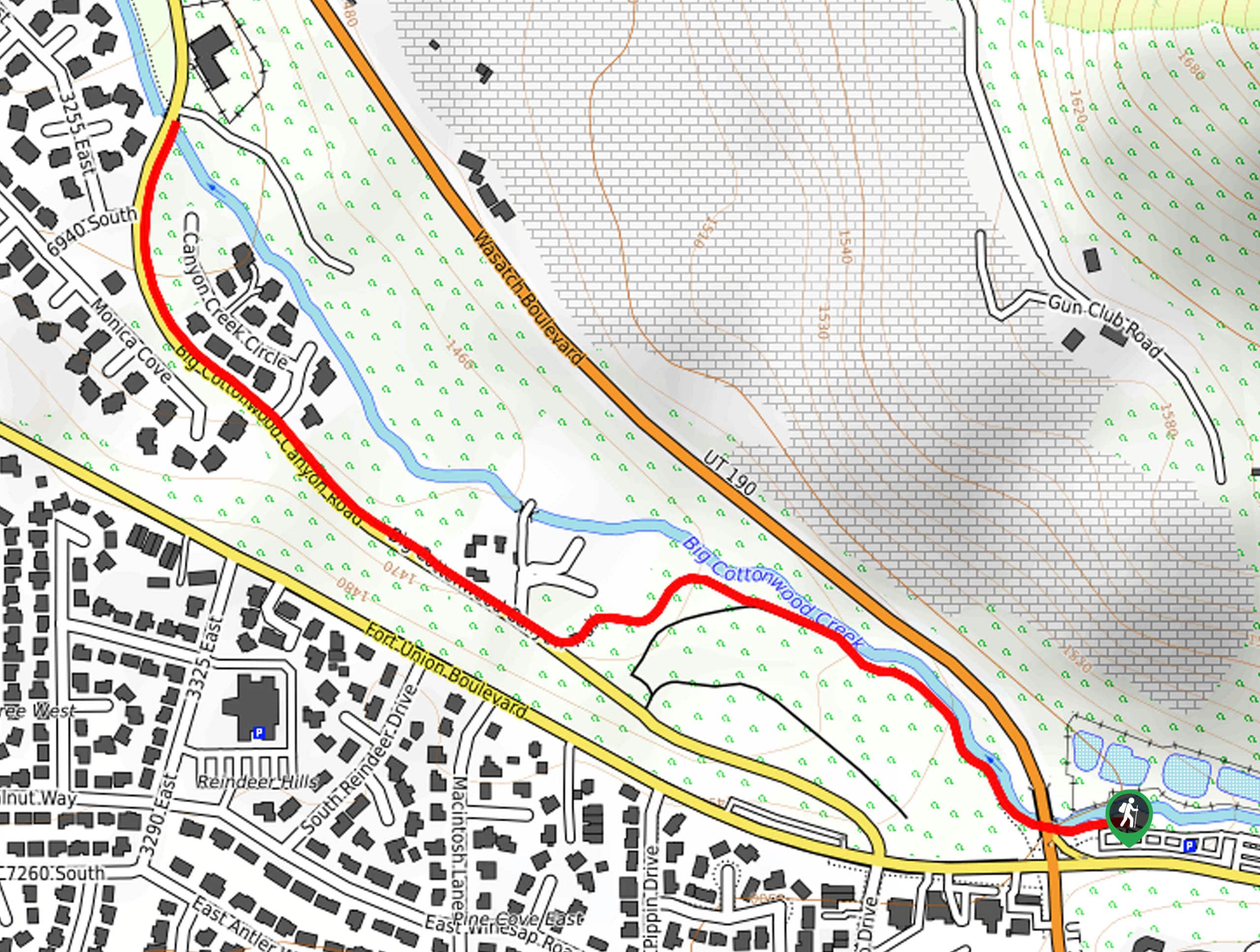
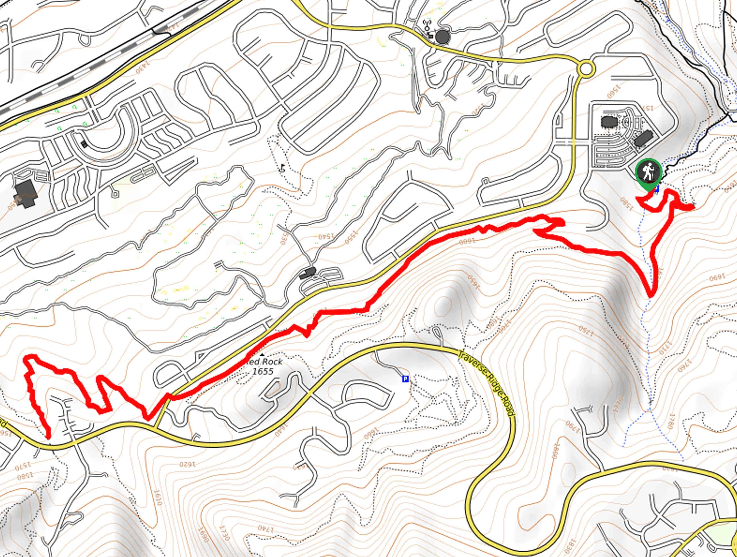
Drive up Big Cottonwood Canyon Road (UT-190) for just under 11.0mi, watching out for the large parking area with signs for the Jordan Pines camping area. There will be an ambiguous trailhead sign pointing to the right. Follow this sign past the Jordan Pine Group Site and onto a dirt road, which passes through private property before arriving at the small parking area for the trailhead. Park in the lot or along one side of the road leading up to it and find the trailhead behind the outhouse.

About
| When to do | Spring through fall |
| Backcountry Campsites | Yes, in National Forest Wilderness |
| Toilets | At trailhead |
| Family friendly | Yes |
| Route Signage | Average |
| Crowd Levels | High |
| Route Type | Out and back |
Donut Falls
Elevation Graph
Weather
Route Description for Donut Falls
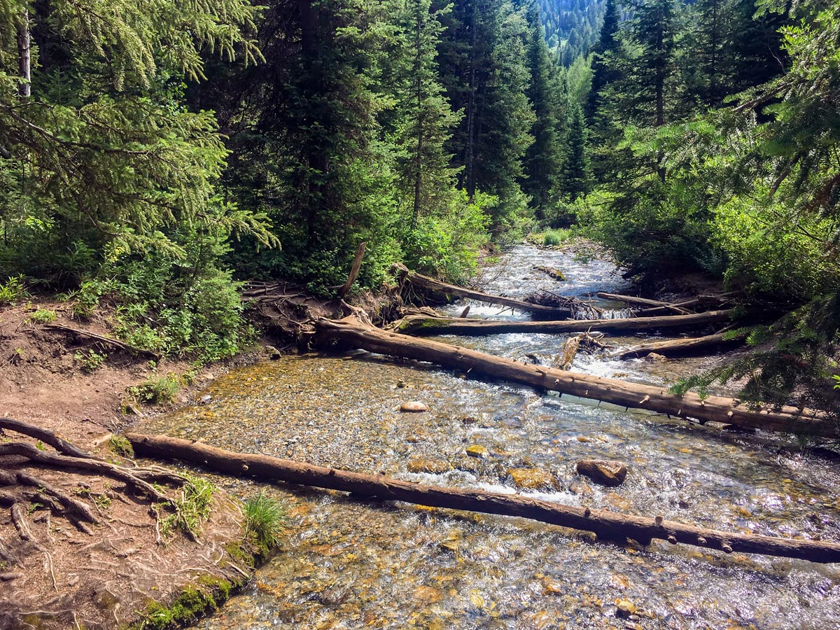
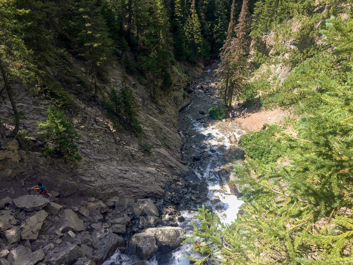
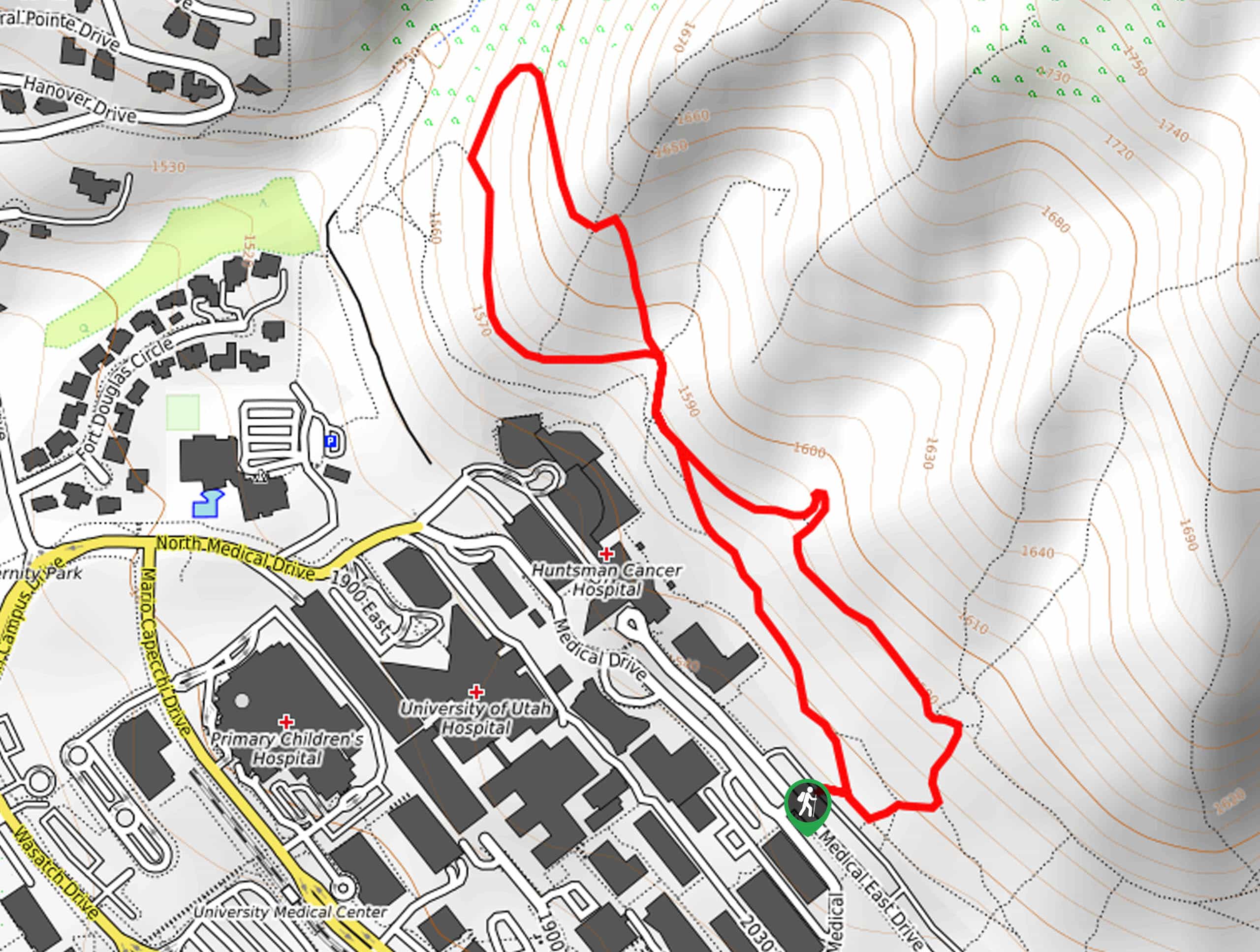
Begin along the trail just behind the outhouse and quickly join up with the Mill D South Fork River. Approximately halfway up the trail, the path will cross over to the west side of the river as it continues to climb.
After crossing over the river, you will meet up with a double track dirt road. Make note of this crossing. On the way back it’s easy to miss. If you miss the turnoff, however, you can still make your way back to the trailhead by crossing the river along the private drive beside the trailhead (as shown on the map).
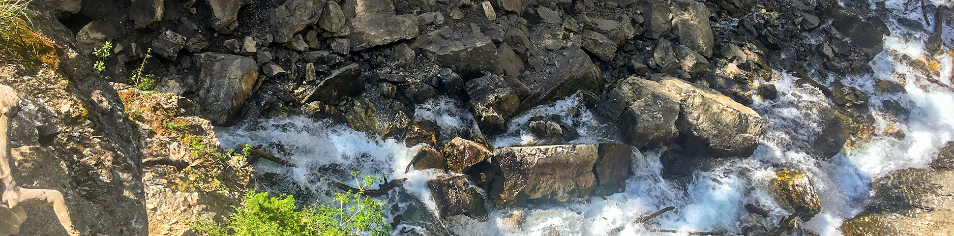
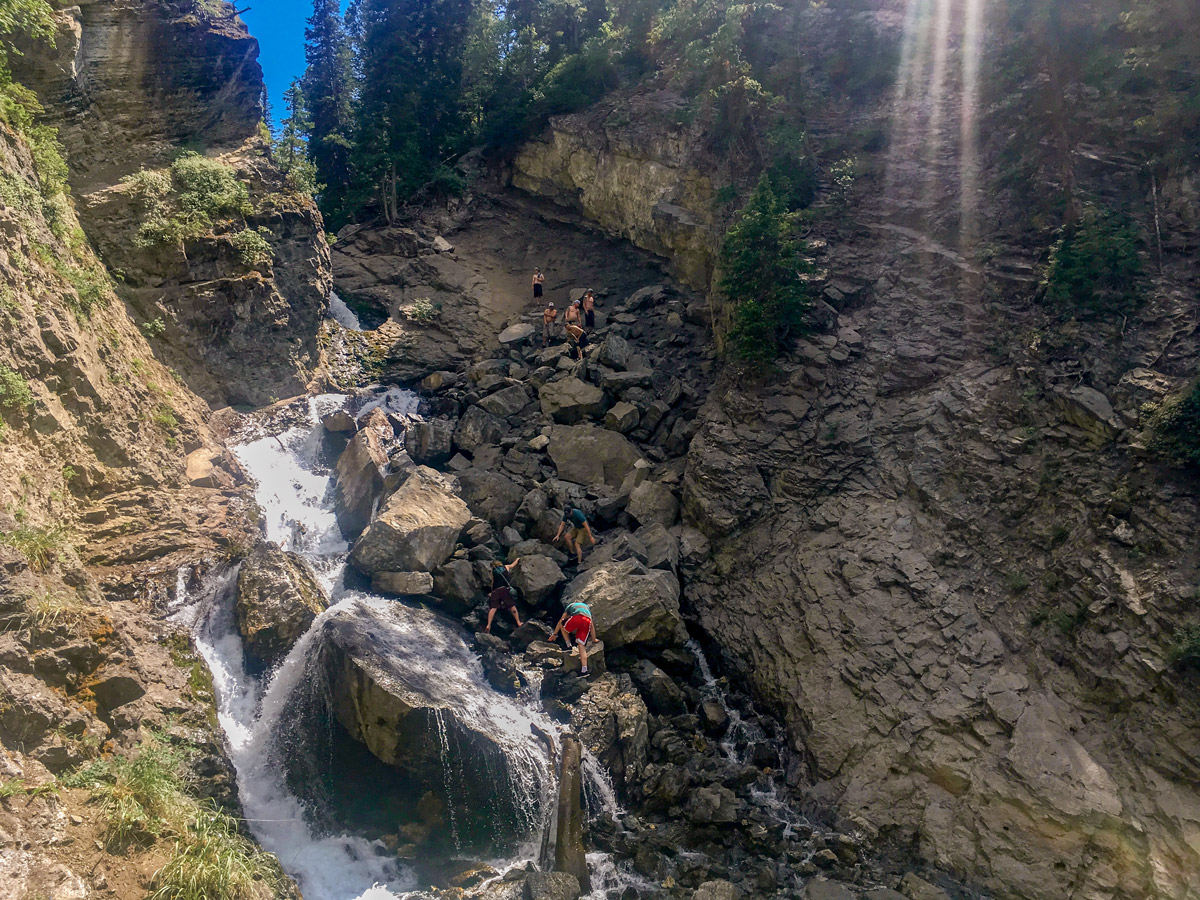
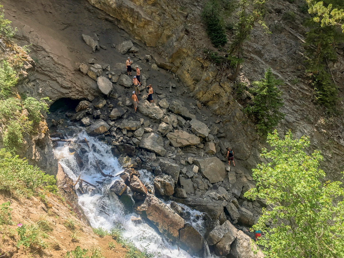
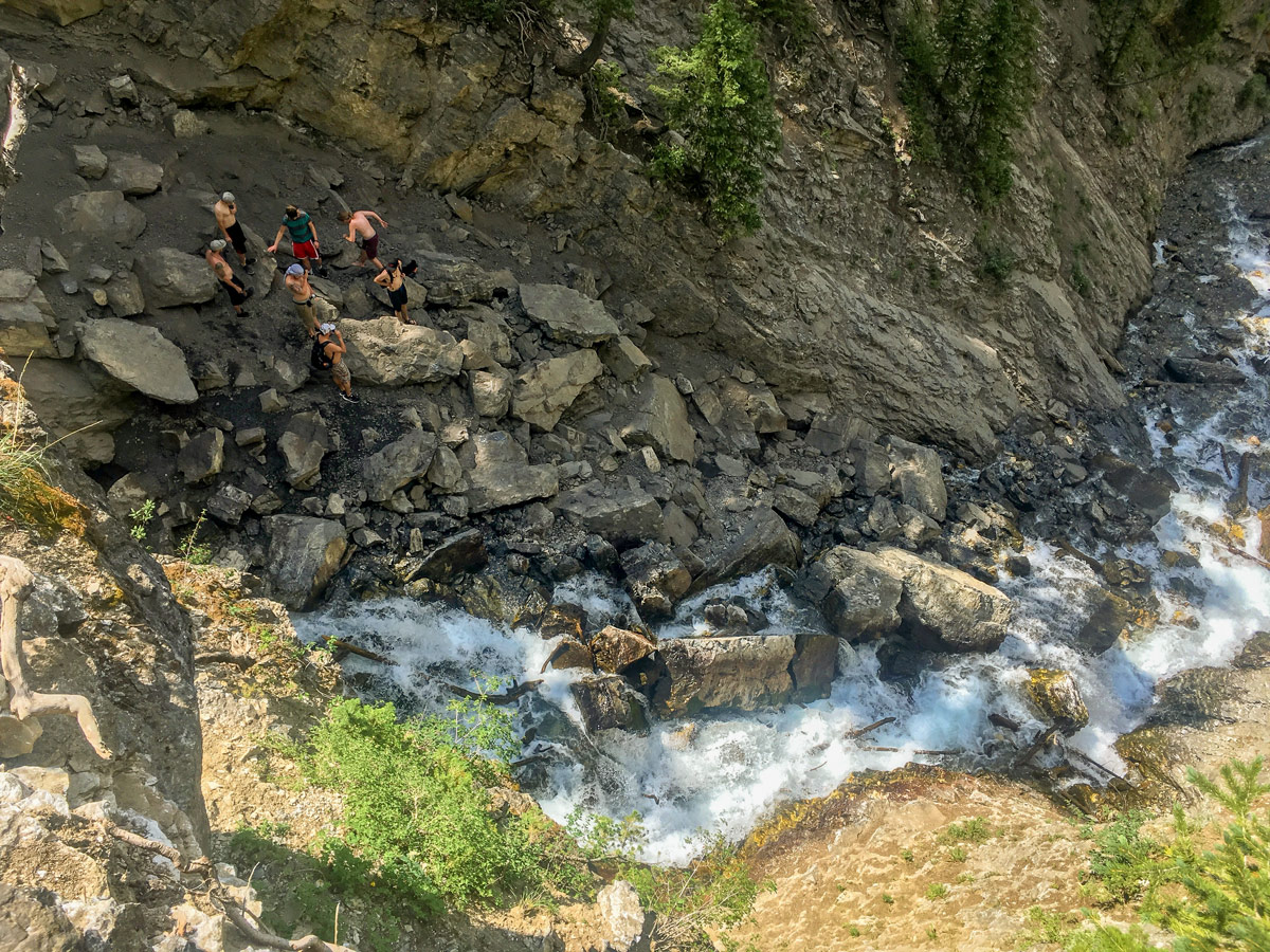
Finally, after another short bit of climbing, the trail will essential merge into the river. You will either have to wade or rock hop across this short section of river to get up to the viewpoint of the falls.
The staircase falls are a true stunner, and the steep-sided canyon that surrounds you will provide a beautiful ambiance. Sit a while and enjoy the atmosphere before making the return journey.
Insider Hints
There are options for scrambling up either side of the falls to get a cooler view. Only do this if you are comfortable with the exposure.
This is the classic family hike near Salt Lake.
Bring shoes you don’t mind getting wet, and wear a pair of non-cotton socks.

Similar hikes to the Donut Falls hike
Big Cottonwood Canyon Trail
The Big Cottonwood Canyon Trail is a well-maintained path in Salt Lake City, Utah. This is a multi-use trail popular…
The Bonneville Shoreline Trail Double Loop
The Bonneville Shoreline Trail Double Loop is a beautiful hike in Salt Lake City. This trail, which borders the University…
The Bonneville Shoreline Trail via Coyote Hollow Trailhead
The Bonneville Shoreline Trail from Coyote Hollow is a gorgeous route on the eastern edge of Draper, Utah. This section…
Melinda J. 4 years ago
A fantastic easy hike in Salt Lake City. It's pretty packed, so better go early!
benhilton 4 years ago
Absolutely stunning! Be prepared in case the paths are wet.
Adriana K. 4 years ago
Wow! This is a must see! Donut Falls is a beautiful waterfall.
Willy G. 5 years ago
Beautiful, short hike. There is a myriad of attractions to see. Beautiful canyons, cascading waterfalls, and some river crossing.
Washington H. 5 years ago
So beautiful. We love Donut Falls. It's so easy to get here. Wish there were fewer people though.
Jane L. 5 years ago
Wicked views. The environment was really nice. 7 am is a good time to start. Everything is so peaceful and quiet.
Becks Red 5 years ago
One of the must-see short walks in Salt Lake city area.
Freddo 5 years ago
Nice and popular hike. Everyone was on it!
Naomi W 5 years ago
I loved the Donut Falls!!!
Bao X 5 years ago
Nice hike. No donuts. haha. Many people.