Mount Wolverine via Brighton Lakes Trail
View Photos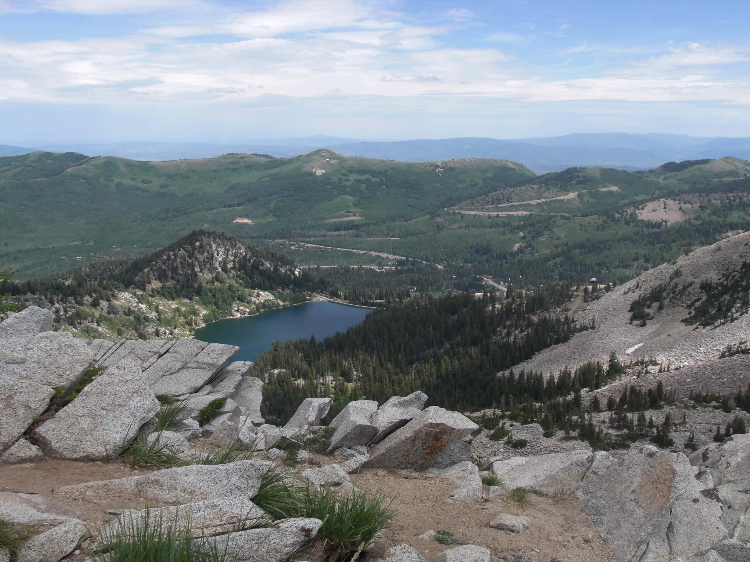
Mount Wolverine via Brighton Lakes Trail
Difficulty Rating:
The Mount Wolverine via Brighton Lakes Trail is a challenging route for experienced hikers. This route is a steep climb past three alpine lakes to the summits of Mount Tuscarora and Mount Wolverine. Dogs may join you on this trail, but they must be kept on leash at all times.
Getting there
This hike begins at the Brighton Lakes Trailhead at the Brighton Resort east of Salt Lake City, Utah.

About
| Backcountry Campground | No |
| When to do | May to September |
| Pets allowed | Yes - On Leash |
| Family friendly | No |
| Route Signage | Average |
| Crowd Levels | Moderate |
| Route Type | Out and back |
Mount Wolverine via Brighton Lakes Trail
Elevation Graph
Weather
Mount Wolverine via Brighton Lakes Trail Description
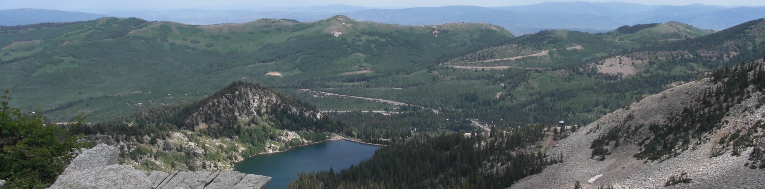
Mount Wolverine via the Brighton Lakes Trail is an awesome challenge for experienced hikers. This is a steep route up to the summits of Mount Tuscarora and Mount Wolverine, so proper footwear is essential and hiking poles are strongly recommended. The Brighton Lakes trail brings you past three pristine alpine lakes: Lake Mary, Lake Martha, and Lake Catherine. These lakes are prime habitat for wildlife such as moose, woodpeckers, ground squirrels, and chipmunks. If you are lucky enough to see such wildlife, do not share your snacks with them and please give the animals lots of personal space.
From the trailhead, follow the Brighton Lakes trail south. As you approach Lake Mary, the first and largest lake along this route, the trail will divide three times. Stay right at the first divide and left at the following two. After Lake Mary, continue south past Lake Martha and Lake Catherine. Just past Lake Catherine, you will reach a fork at Catherine Pass and take the path on the right to make your way up to the summit of Mount Tuscarora. Catch your breath at the top before continuing west to the peak of Mount Wolverine.
Take a well-deserved break at the top of Mount Wolverine and stand in awe of the incredible Utah landscape below. From the top you will be able to see the Alta Ski area to the southeast and Brighton Lakes below. When you are ready to head home, simply turn around and follow the same route back to the trailhead.
Similar hikes to the Mount Wolverine via Brighton Lakes Trail hike

Willow Hollow, Ridge, and Pine Hollow Trail
The Willow Hollow and Pine Hollow Trail is a beautiful route in the Uinta-Wasatch-Cache National Forest. This trail is an…

Solitude to Beaver Pond Trail
The Solitude to Beaver Ponds Trail is a beautiful hike through the Uinta-Wasatch-Cache National Forest. This trail is lush and…

City Creek Canyon Road
The City Creek Canyon Road is a popular trail just north of downtown Salt Lake City, Utah. This path is…
Comments