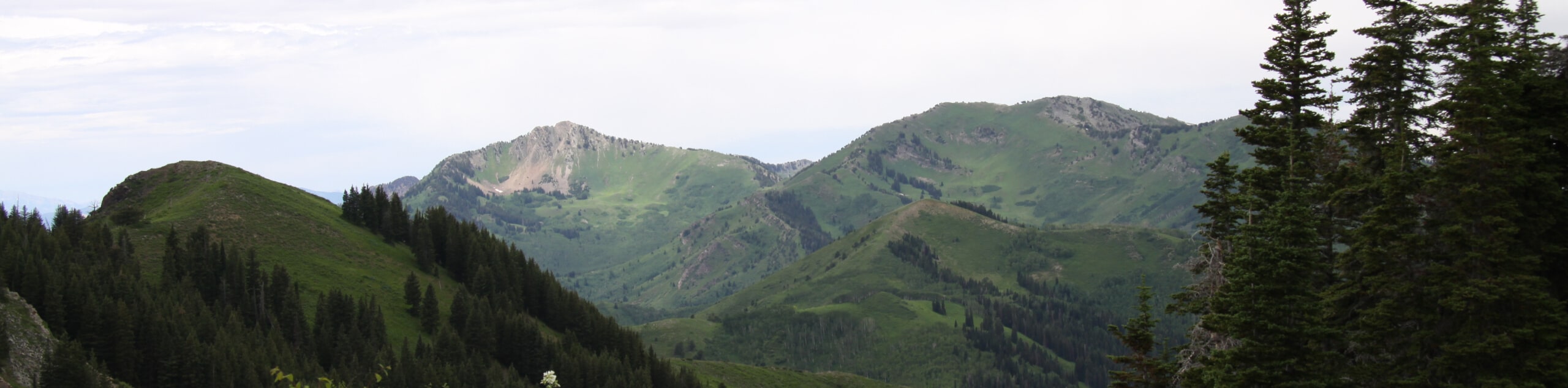
Gobblers Knob via Butler Fork Trail
View Photos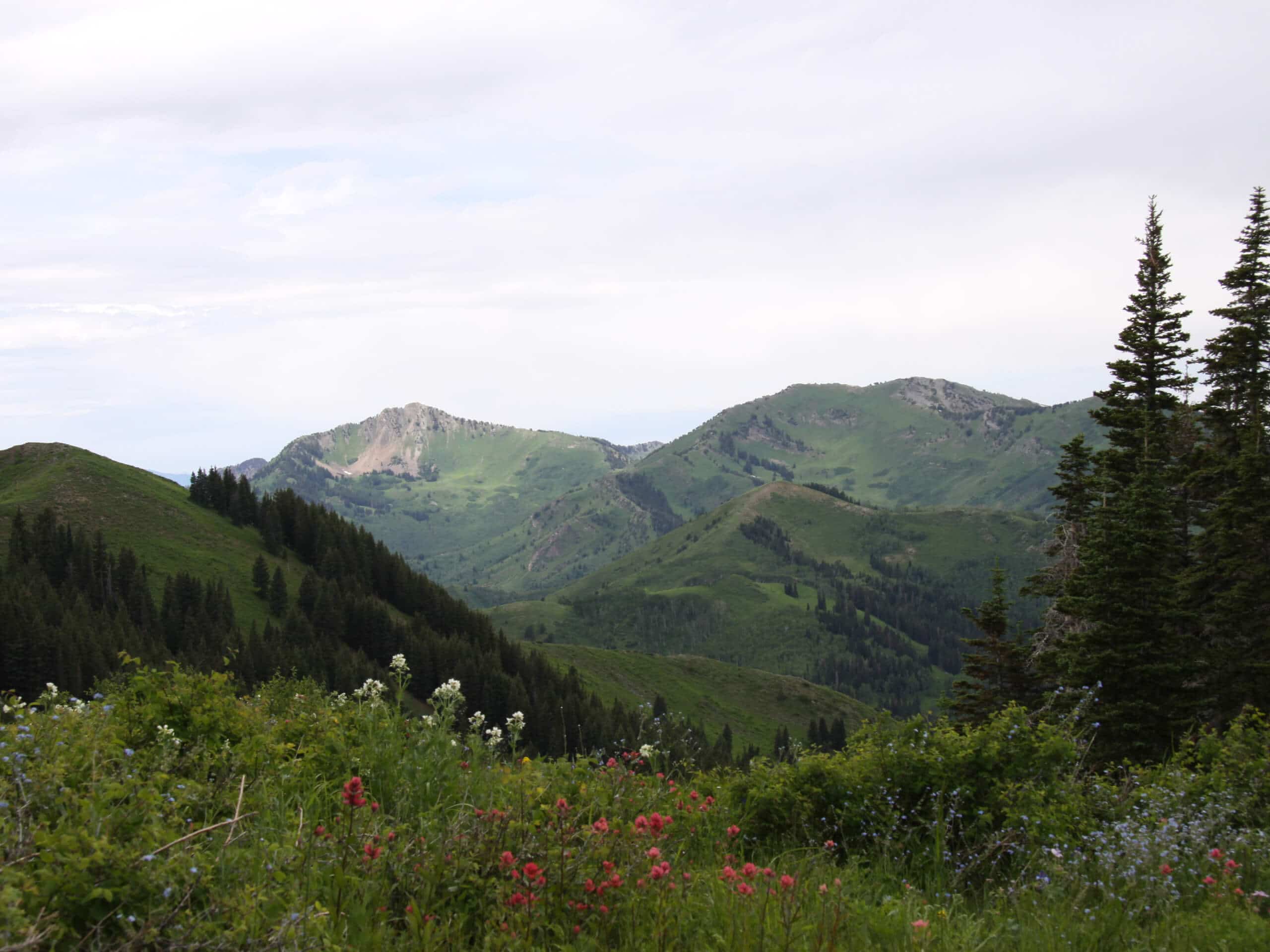
Gobblers Knob via Butler Fork Trail
Difficulty Rating:
Gobblers Knob via Butler Fork is a challenging route for experienced hikers. This trail is a steep and consistent climb up to the summit of Gobblers Knob. This summit is the highest point on the ridge line that separates Big Cottonwood Canyon and Mill Creek Canyon, and is a sought after spot for local peak baggers. If you are up for the challenge, strap on your best hiking boots and be sure to pack a camera, as the views from the top of Gobblers Knob will leave you breathless!
Getting there
The trail begins at the Butler Fork Trailhead on the north side of highway 190, east of Salt Lake City.

About
| Backcountry Campground | No |
| When to do | April to October |
| Pets allowed | No |
| Family friendly | No |
| Route Signage | Average |
| Crowd Levels | Moderate |
| Route Type | Out and back |
Gobblers Knob via Butler Fork Trail
Elevation Graph
Weather
Gobblers Knob via Butler Fork Trail Description
Gobblers Knob via Butler Fork is a fantastic hike for experienced adventurers. This trail is consistently steep, as it ascends over 3000ft to the summit. Hikers should arrive with proper footwear, lots of water, and plenty of snacks to fuel their day. Gobblers Knob can also be accessed via the popular Alexander Basin Trail, so be prepared for a lot of foot traffic at the top. The views from this high point are absolutely stunning, with a sightline over Salt Lake City to the west and the Tri-Canyons of Millcreek, Big Cottonwood, and Little Cottonwood below.
From the Butler Fork Trailhead, follow the path north to a divide and stay left to continue along the path as it curves westward. Stay right at the next divide, as the trail to the left leads straight up to Circle All Peak. Shortly after this divide, the trail splits once more. Stay left at this junction and keep right at all the remaining ones to successfully make your way up to the top of Gobblers Knob.
Take a well-deserved rest at the summit before turning around and heading back down to the trailhead following the way you came.
Similar hikes to the Gobblers Knob via Butler Fork Trail hike

Willow Hollow, Ridge, and Pine Hollow Trail
The Willow Hollow and Pine Hollow Trail is a beautiful route in the Uinta-Wasatch-Cache National Forest. This trail is an…

Solitude to Beaver Pond Trail
The Solitude to Beaver Ponds Trail is a beautiful hike through the Uinta-Wasatch-Cache National Forest. This trail is lush and…

City Creek Canyon Road
The City Creek Canyon Road is a popular trail just north of downtown Salt Lake City, Utah. This path is…
Comments