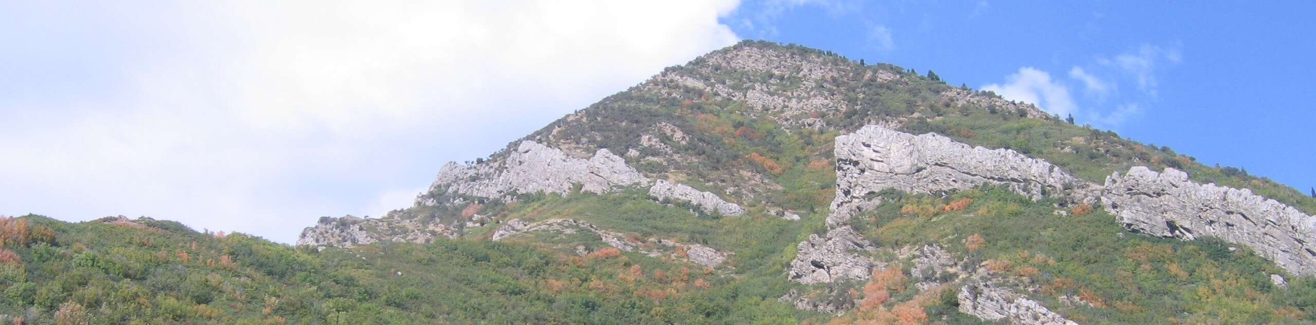
Crestwood Gulch Loop
View Photos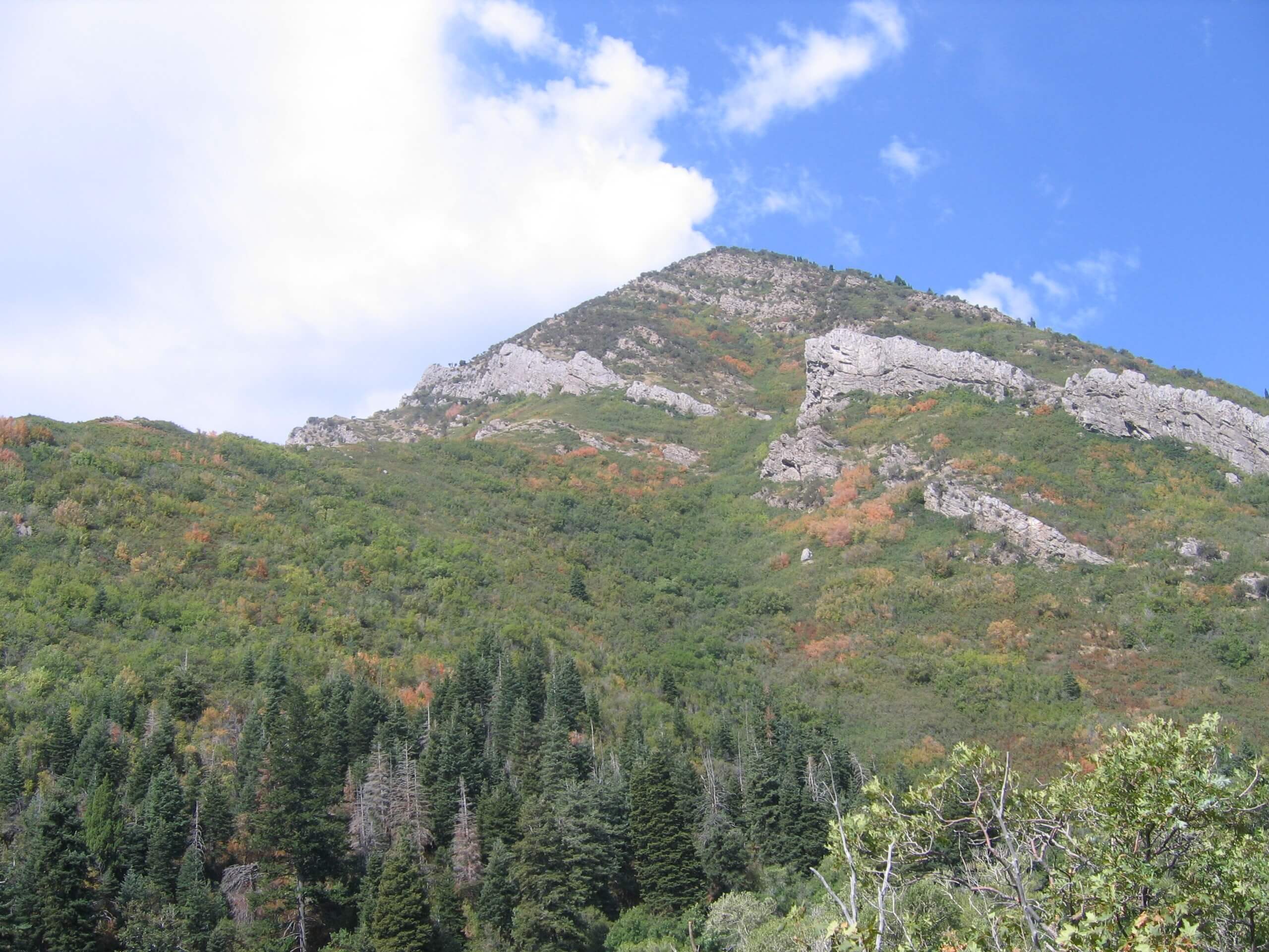
Crestwood Gulch Loop
Difficulty Rating:
The Crestwood Gulch Loop is a beautiful trail in the Uinta-Wasatch-Cache National Forest east of Salt Lake City. This trail is challenging with a seriously steep incline but all your hard work is rewarded with incredible views of Salt Lake City and the surrounding wilderness. Dogs are permitted to join you on this trail however they must be kept on leash at all times.
Getting there
The Crestwood Gulch Loop begins at the Parley’s Crossing Trailhead on the north end of South Wasatch Boulevard in Holladay, Utah

About
| Backcountry Campground | No |
| When to do | April to October |
| Pets allowed | Yes - On Leash |
| Family friendly | No |
| Route Signage | Average |
| Crowd Levels | Low |
| Route Type | Lollipop |
Crestwood Gulch Loop
Elevation Graph
Weather
Crestwood Gulch Loop Description
The Crestwood Gulch Trail is a fantastic route for experienced hikers. This trail starts off easy but becomes seriously steep as you go on. Hikers should be prepared with proper, supportive footwear and hiking poles if they’d like the extra support. Dogs are permitted on this trail as long as they are kept on a leash at all times. Please keep in mind that this is a strenuous hike that may not be appropriate for all pups. However, the views from the Crestwood Gulch Loop are worth the hard work, and with low-traffic year-round, you might just be lucky enough to have those views all to yourself.
From Parley’s Crossing Trailhead, follow the Bonneville Shoreline Trail for three-quarters of a mile to a divide; here, you can take a right or a left as both trails reconnect shortly after. We suggest taking the trail on the right on your way up then taking the other path on the way down to switch things up. Continue along the path for 0.4mi, then take a left to begin your steep ascent. Stay left at the next divide to head up to the summit viewpoint.
Take a well-deserved rest at the top before heading down along the west ridge. Be sure to use extra caution on the descent as it is easy to slip and fall on the steep grade. Take a right at the first divide on the way down, and soon you’ll find yourself in familiar territory. Once you reconnect with the main trail, simply follow your footsteps back out to Parley’s Crossing Trailhead, where you began.
Similar hikes to the Crestwood Gulch Loop hike

Willow Hollow, Ridge, and Pine Hollow Trail
The Willow Hollow and Pine Hollow Trail is a beautiful route in the Uinta-Wasatch-Cache National Forest. This trail is an…

Solitude to Beaver Pond Trail
The Solitude to Beaver Ponds Trail is a beautiful hike through the Uinta-Wasatch-Cache National Forest. This trail is lush and…

City Creek Canyon Road
The City Creek Canyon Road is a popular trail just north of downtown Salt Lake City, Utah. This path is…
Comments