Beartrap Fork and Desolation Lake Trail
View Photos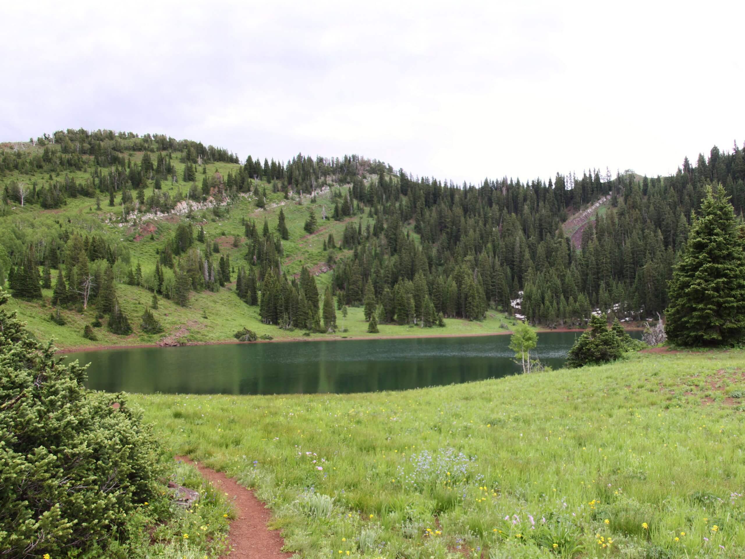
Beartrap Fork and Desolation Lake Trail
Difficulty Rating:
The Beartrap Fork and Desolation Lake Trail is a fantastic route in the Uinta-Wasatch-Cache National Forest. This is a multi-use trail that is popular with hikers, trail runners, and mountain bikes. Dogs, unfortunately, are not permitted on this trail as it lies within a watershed.
Getting there
This hike begins on the north side of highway 190/Big Cottonwood Canyon just east of the Spruces Campground.

About
| Backcountry Campground | No |
| When to do | May to October |
| Pets allowed | No |
| Family friendly | No |
| Route Signage | Average |
| Crowd Levels | Moderate |
| Route Type | One Way |
Beartrap Fork and Desolation Lake Trail
Elevation Graph
Weather
Beartrap Fork and Desolation Lake Trail Description
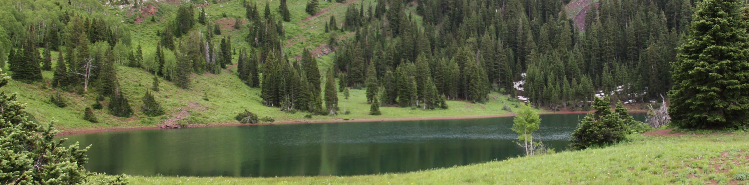
The Beartrap Fork and Desolation Lake Trail is a beautiful route east of Salt Lake City, Utah. This trail is popular with mountain bikers. When hiking, be sure to keep your eyes and ears open and allow bikes to zip past. This trail starts with a steep incline that will leave you questioning all your choices but don’t worry, the views at Desolation Lake are totally worth it and the gentle descent makes a fantastic (and welcome) cool-down. We recommend hiking this trail in the early fall when the surrounding forest is brimming with changing leaves.
To hike the Beartrap Fork and Desolation Lake Trail, begin on the north side of highway 190 just east of Spruces Canyon. From the trailhead, follow Beartrap Fork northeast then take a left onto the Wasatch Crest Trail. Follow the Wasatch Crest Trail to Desolation Lake, where you can take a rest and enjoy a snack before heading west along the Desolation Trail. Stay left at the two divides to follow the Mill D North Fork Trail south. Stay right at the fork along the Mill D North Fork Trail to land yourself at the trail’s end in Mounthaven.
From the end of the trail, you can either head on home, or spend a night under the Utah stars at the Spruces Campground nearby.
Similar hikes to the Beartrap Fork and Desolation Lake Trail hike

Willow Hollow, Ridge, and Pine Hollow Trail
The Willow Hollow and Pine Hollow Trail is a beautiful route in the Uinta-Wasatch-Cache National Forest. This trail is an…

Solitude to Beaver Pond Trail
The Solitude to Beaver Ponds Trail is a beautiful hike through the Uinta-Wasatch-Cache National Forest. This trail is lush and…

City Creek Canyon Road
The City Creek Canyon Road is a popular trail just north of downtown Salt Lake City, Utah. This path is…
Comments