Rhododendron Trail
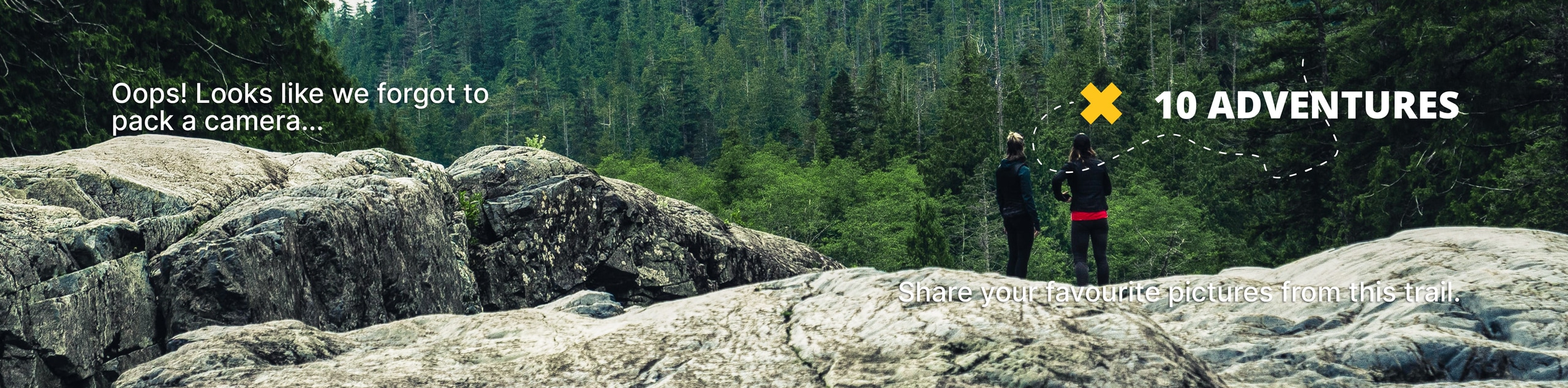
View Photos
Rhododendron Trail
Difficulty Rating:
The Rhododendron Trail is a strenuous and secluded adventure in the Prairie Creek Redwoods State Park. Immerse yourself in the lush Californian coastal forestlands abundant with ancient redwoods, vibrant rhododendrons, and lush vegetation.
Getting there
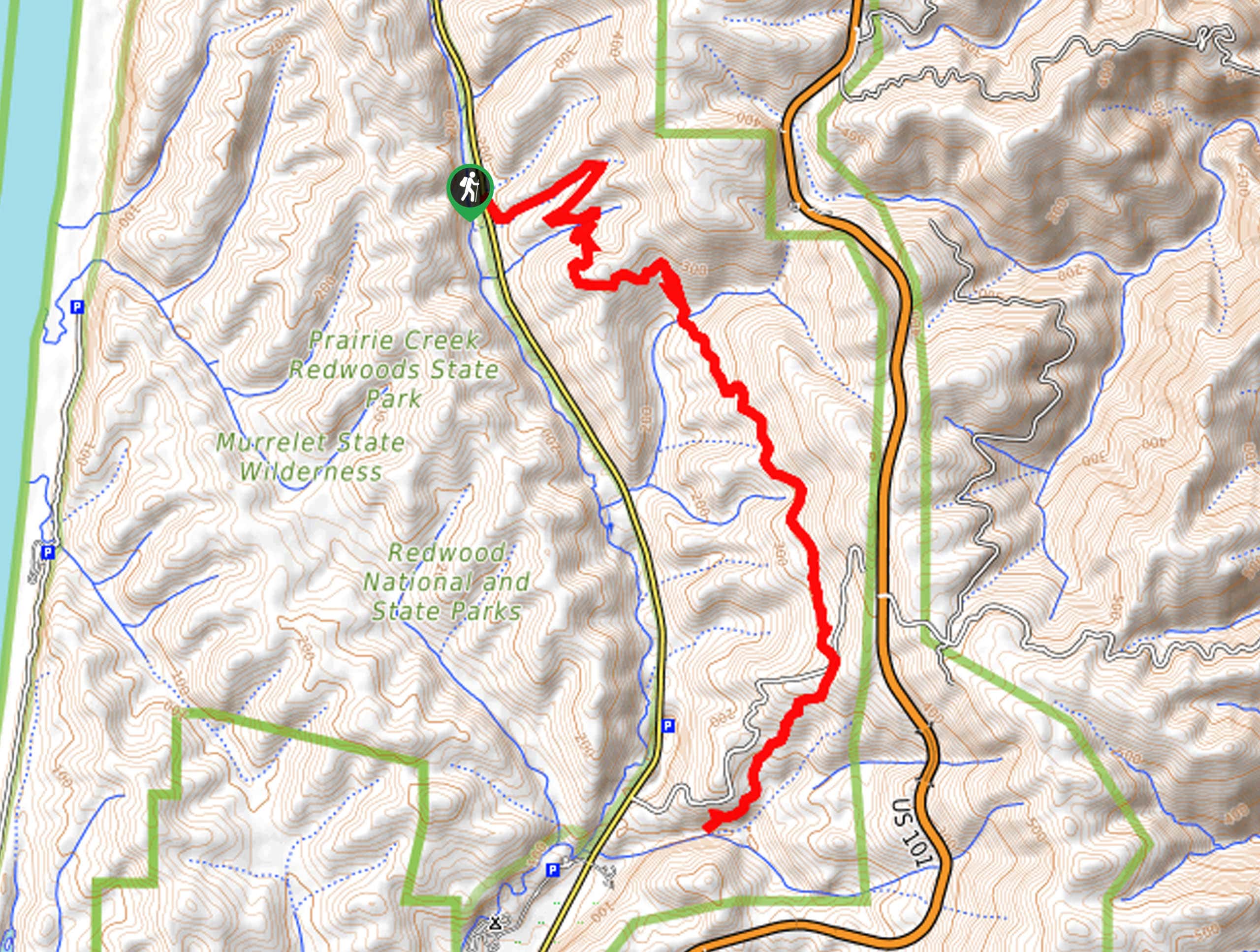
The trailhead for this adventure is located off the Newton B. Drury Parkway.

About
| Backcountry Campground | No |
| When to do | Year-round |
| Pets allowed | No |
| Family friendly | No |
| Route Signage | Average |
| Crowd Levels | Moderate |
| Route Type | Out and back |
Rhododendron Trail
Elevation Graph
Weather
Rhododendron Trail Description
This trek checks all the boxes, leading you through whimsical woodlands, over creeks, up ridges, and past charming cascades. There is even a hollowed-out redwood you can stand in, which reveals its enormity! Boasting a good workout, this undulating path demands some endurance and careful footing over the roots and rocks that obstruct the footpath. Be sure to wear a sturdy pair of footwear and pack plenty of water to stay fueled along this route!
Setting out from the trailhead off the Newton B. Drury Parkway, the Rhododendron Trail travels east up a forested creek valley before redirecting hikers southeastwardly over the footbridge. Wandering this undulating path, you will be guided over Good Creek and amongst the prolific vegetation. Mind your footing on the uneven terrain and revel in the grandeur of the towering redwoods. Eventually, the path will begin to gradually descend, running parallel to Boyce Creek and into a busy grove.
When you reach an intersection with the Cathedral Trees Trail, you have met your turnaround point. From here, retrace your steps back along the path all the way back to the trailhead.
Similar hikes to the Rhododendron Trail hike
Holter Ridge via Lost Man Trail
The Holter Ridge via Lost Man Trail is a popular mountain biking route in Redwood National Park—but it is open…
McArthur Creek Loop
Discover the beauty and diversity of Northern California’s coast along the McArthur Creek Trail. This challenging day hike exhibits the…
Mill Creek Horse Trail
Indulge yourself in the magical scenery of California’s coastal rainforests along the Mill Creek Horse Trail. This secluded adventure provides…
Comments