
Dolason Prairie Trail
View Photos
Dolason Prairie Trail
Difficulty Rating:
Compared to the quintessential Redwoods National and State Park hikes, the Dolason Prairie Trail offers a unique experience—traveling through high meadows before plunging beneath the tree canopy. Wander through sparse redwood stands and young forests.
Getting there
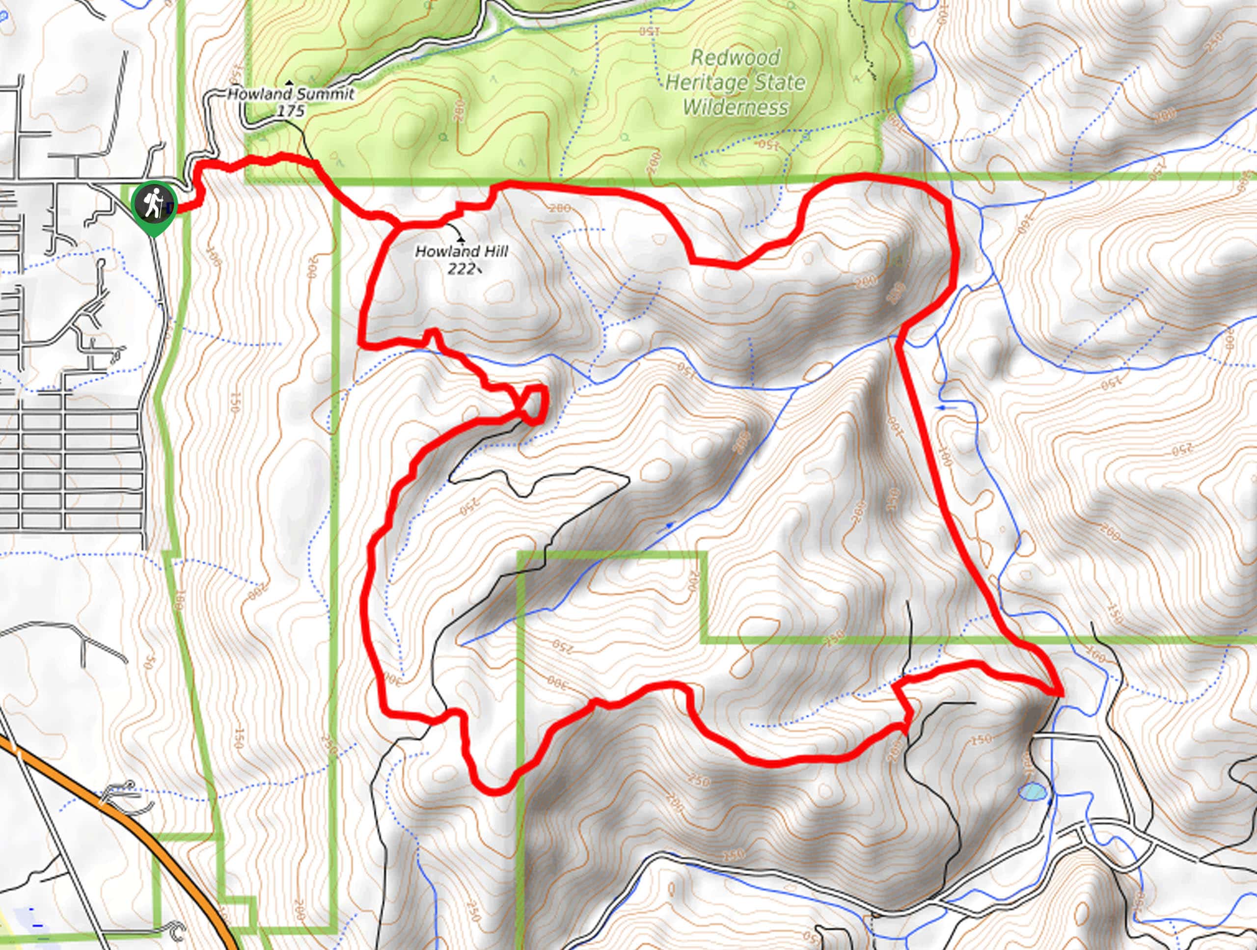
The Dolason Prairie Trailhead is located off Bald Hills Road.

About
| Backcountry Campground | No |
| When to do | Year-round |
| Pets allowed | No |
| Family friendly | Older Children only |
| Route Signage | Average |
| Crowd Levels | Moderate |
| Route Type | Out and back |
Dolason Prairie Trail
Elevation Graph
Weather
Dolason Prairie Trail Description
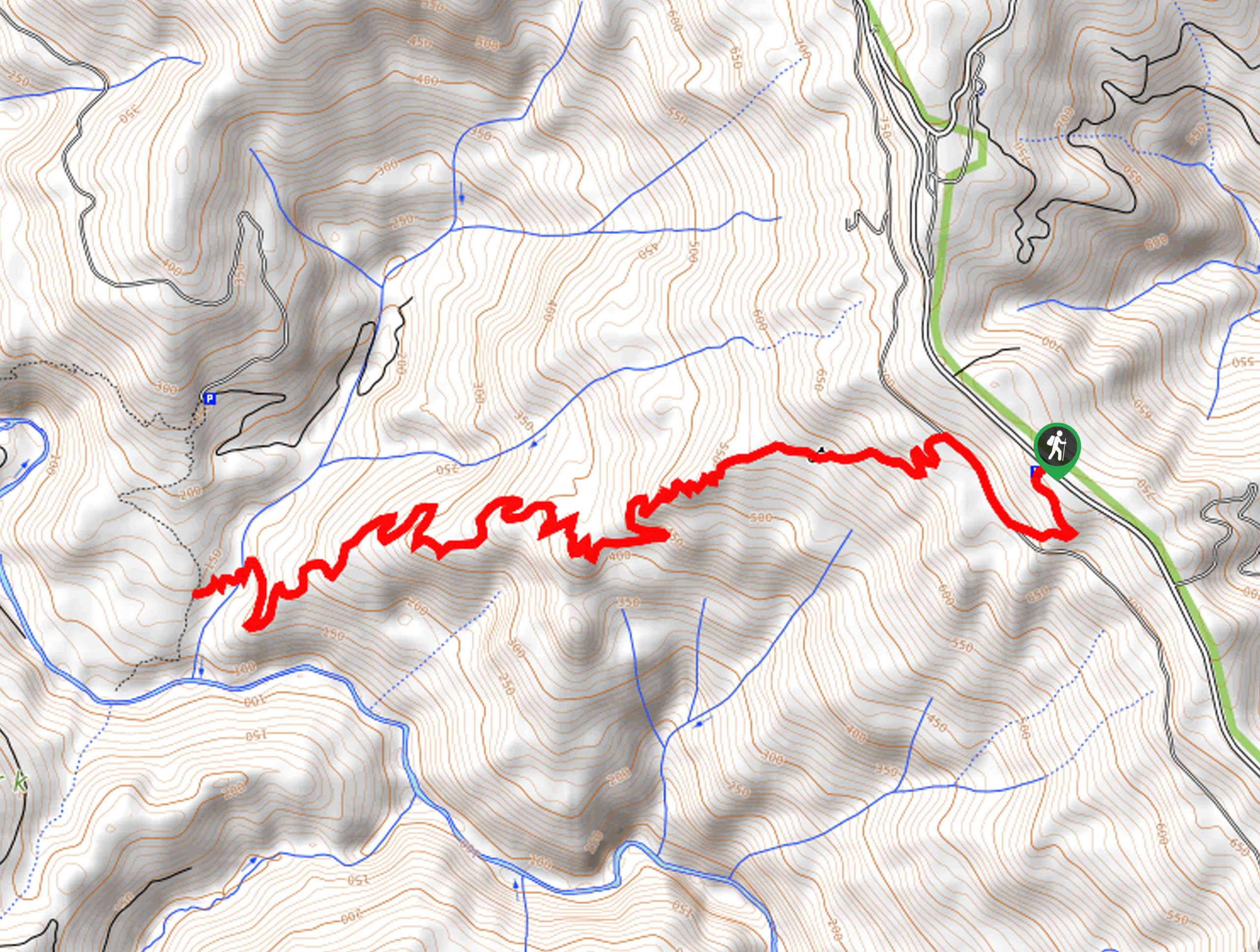
The Dolason Prairie Trail offers a welcome change from the typical redwood grove hikes in the area. This wonderful trek meanders through diverse terrains—boasting exciting and beautiful scenery. Different from most routes in the area, this trail is also longer than most too! Get your steps in, stretch your legs, and get your heart rate up as you tackle this secluded adventure. Note this path travels deep into the backcountry, so it is important to be mindful of wildlife, including bears!
Your journey along the Dolason Prairie Trail begins from the trailhead off Bald Hills Road. From here, the Dolason Prairie Trail will wander through the high meadows to the Dolason Barn. Explore the historic barn and the grounds before continuing your trek. From here, the route will begin to plunge more dramatically into the lush forestlands via switchbacks. Mind your footing on the steep terrain obstructed by tree roots, and you will eventually cross a charming footbridge over Harry Weir Creek.
After crossing the bridge, you will encounter an intersection with the Emerald Ridge Trail, marking your turnaround point. If you have some gas left in the tank, then head left along the route down to Redwood Creek. If you are ready to head back, then simply backtrack along the route to the trailhead.
Similar hikes to the Dolason Prairie Trail hike
Holter Ridge via Lost Man Trail
The Holter Ridge via Lost Man Trail is a popular mountain biking route in Redwood National Park—but it is open…
McArthur Creek Loop
Discover the beauty and diversity of Northern California’s coast along the McArthur Creek Trail. This challenging day hike exhibits the…
Mill Creek Horse Trail
Indulge yourself in the magical scenery of California’s coastal rainforests along the Mill Creek Horse Trail. This secluded adventure provides…
Comments