
McArthur Creek Loop
View Photos
McArthur Creek Loop
Difficulty Rating:
Discover the beauty and diversity of Northern California’s coast along the McArthur Creek Trail. This challenging day hike exhibits the topographic variety of the landscape as it leads adventurers through lush redwood stands before opening to dramatic vistas of the Pacific.
Getting there
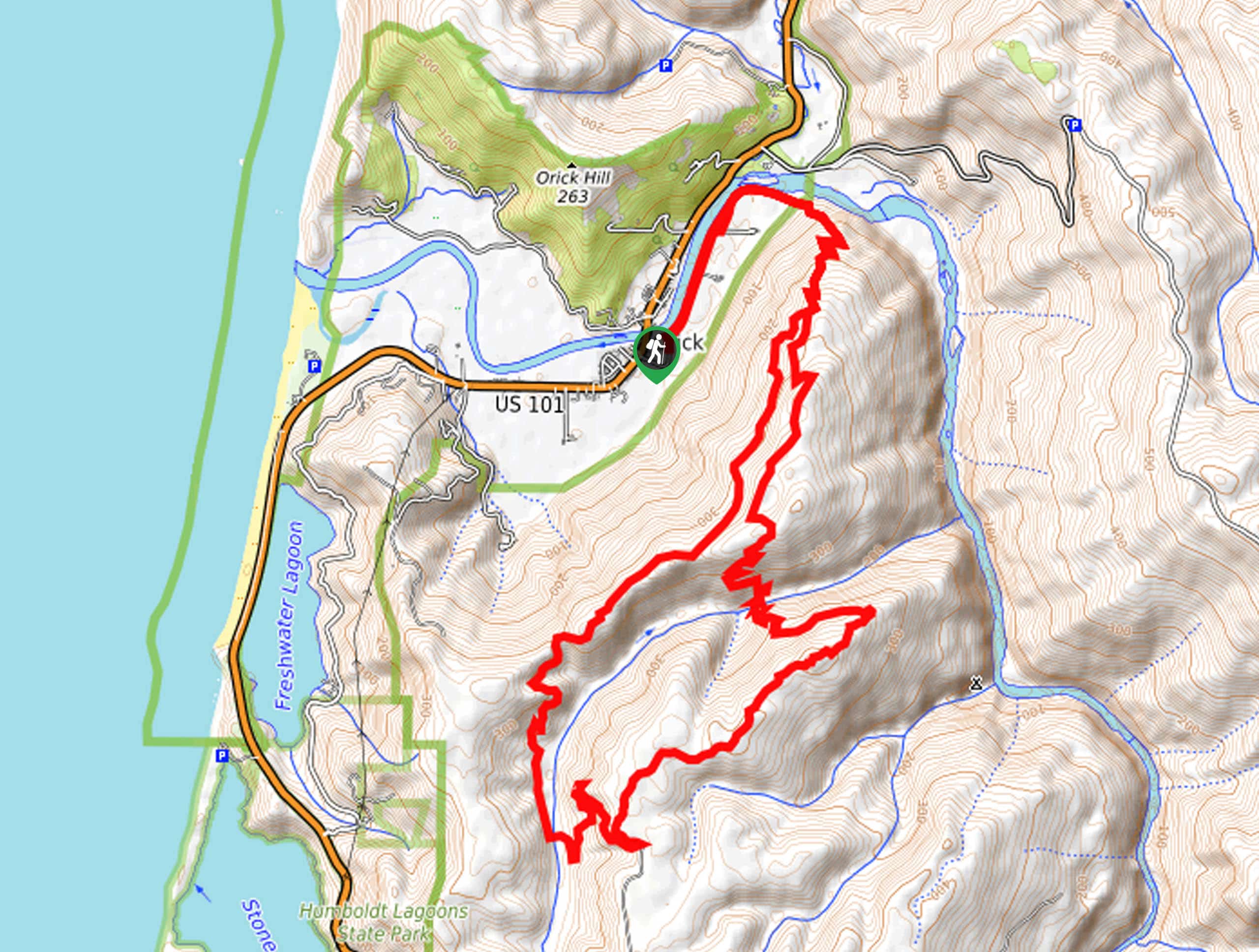
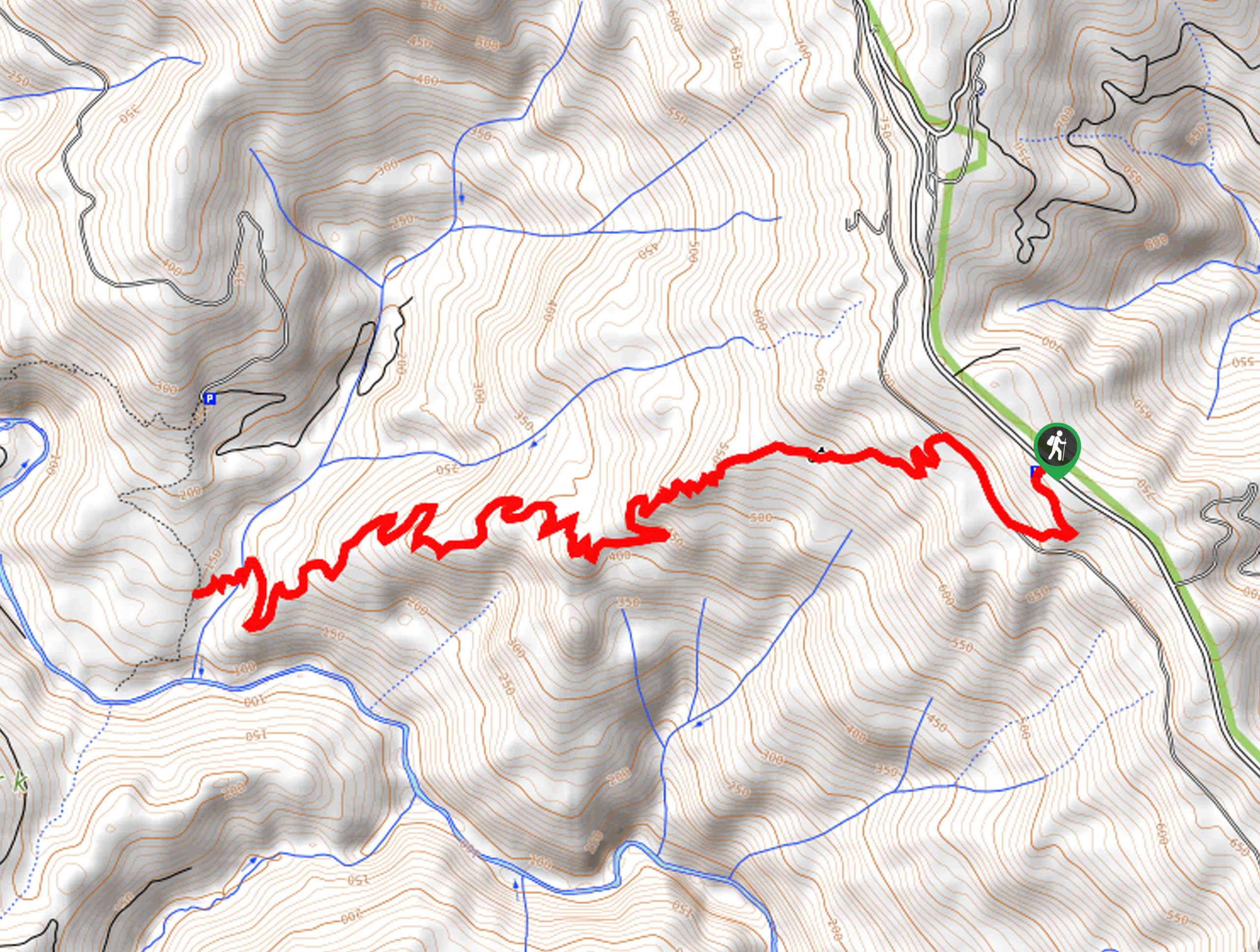
The McArthur Creek Trail sets out from the Ridge Loop Trailhead off Drydens Road.

About
| Backcountry Campground | No |
| When to do | Year-round |
| Pets allowed | No |
| Family friendly | No |
| Route Signage | Average |
| Crowd Levels | Low |
| Route Type | Lollipop |
McArthur Creek Loop
Elevation Graph
Weather
McArthur Creek Loop Description
The McArthur Creek Trail offers the best of both worlds—enchanting woodlands and dramatic coastal panoramas. Indulge in the beauty of the area whilst getting a workout in. If you seek a secluded adventure, you have come to the correct spot—you’ll likely be hiking in solitude with the odd horseback rider passing by! As this route demands some climbing, we suggest wearing a sturdy pair of footwear to make the adventure more enjoyable! Don’t forget to pack water and snacks to stay fueled!
Setting out from the trailhead, the McArthur Creek Trail follows the Drydens Road northeast before merging onto the Ridge Loop Trail. This route will divert hikers south up a ridge via several switchbacks. The further you hike into the wilderness, the denser will the tree canopy become. Revel in the grandeur of the redwoods and enjoy the scenes of the wildflowers that often adorn the undergrowth. Eventually, you will reach an intersection, keep right here and at the next junction. Now trekking along the McArthur Creek Trail, you will be granted breathtaking vistas of the ocean in the west; take the time to admire the scene.
Continue meandering along the McArthur Creek Trail, which will curve northeast back beneath the tree shade and over McArthur Creek. After crossing the stream, the path will climb up to a junction with the Ridge Loop Trail; turn right here. Then, retracing your footing down the ridge, simply reconnect with Drydens Road and back to your car.
Similar hikes to the McArthur Creek Loop hike
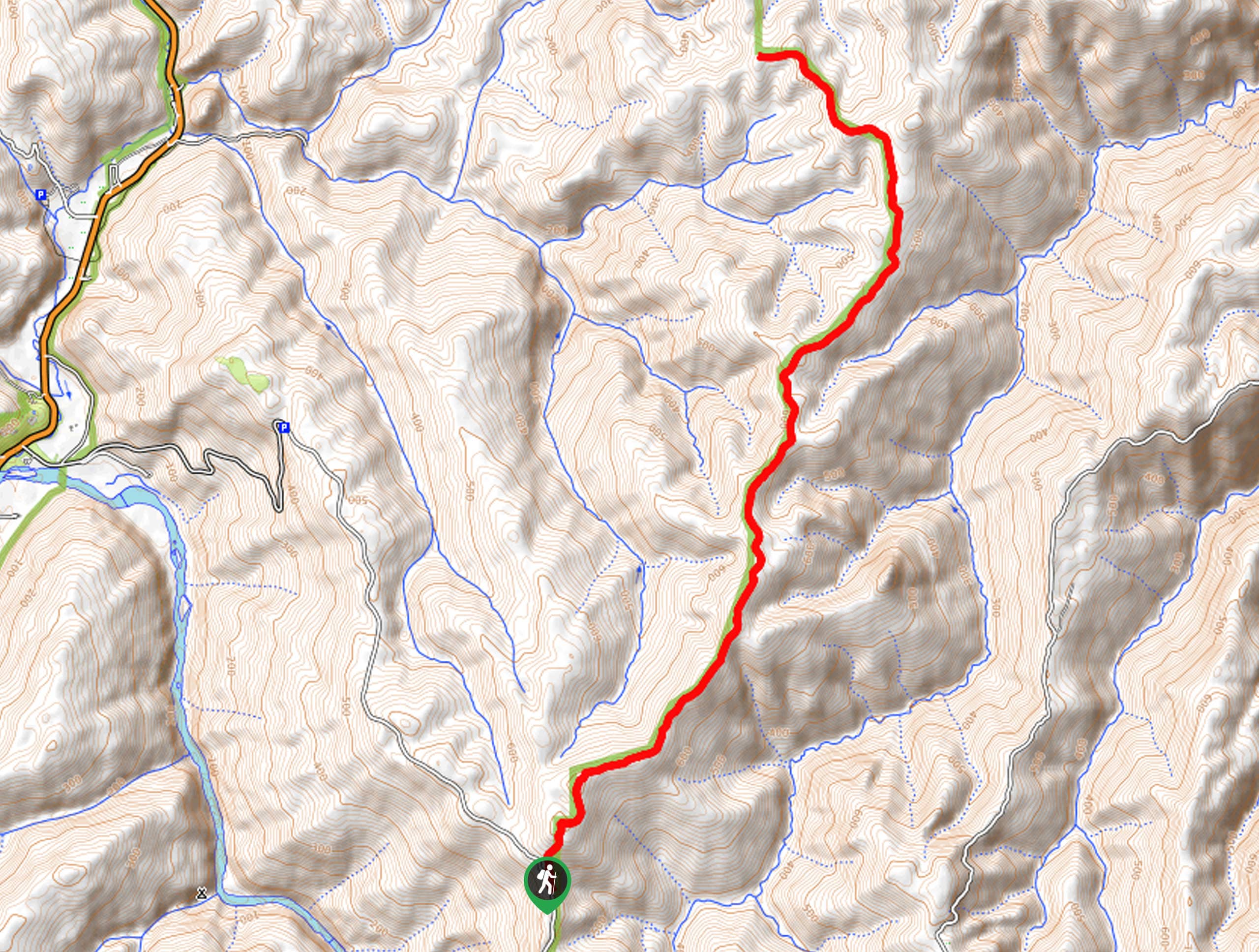
Holter Ridge via Lost Man Trail
The Holter Ridge via Lost Man Trail is a popular mountain biking route in Redwood National Park—but it is open…
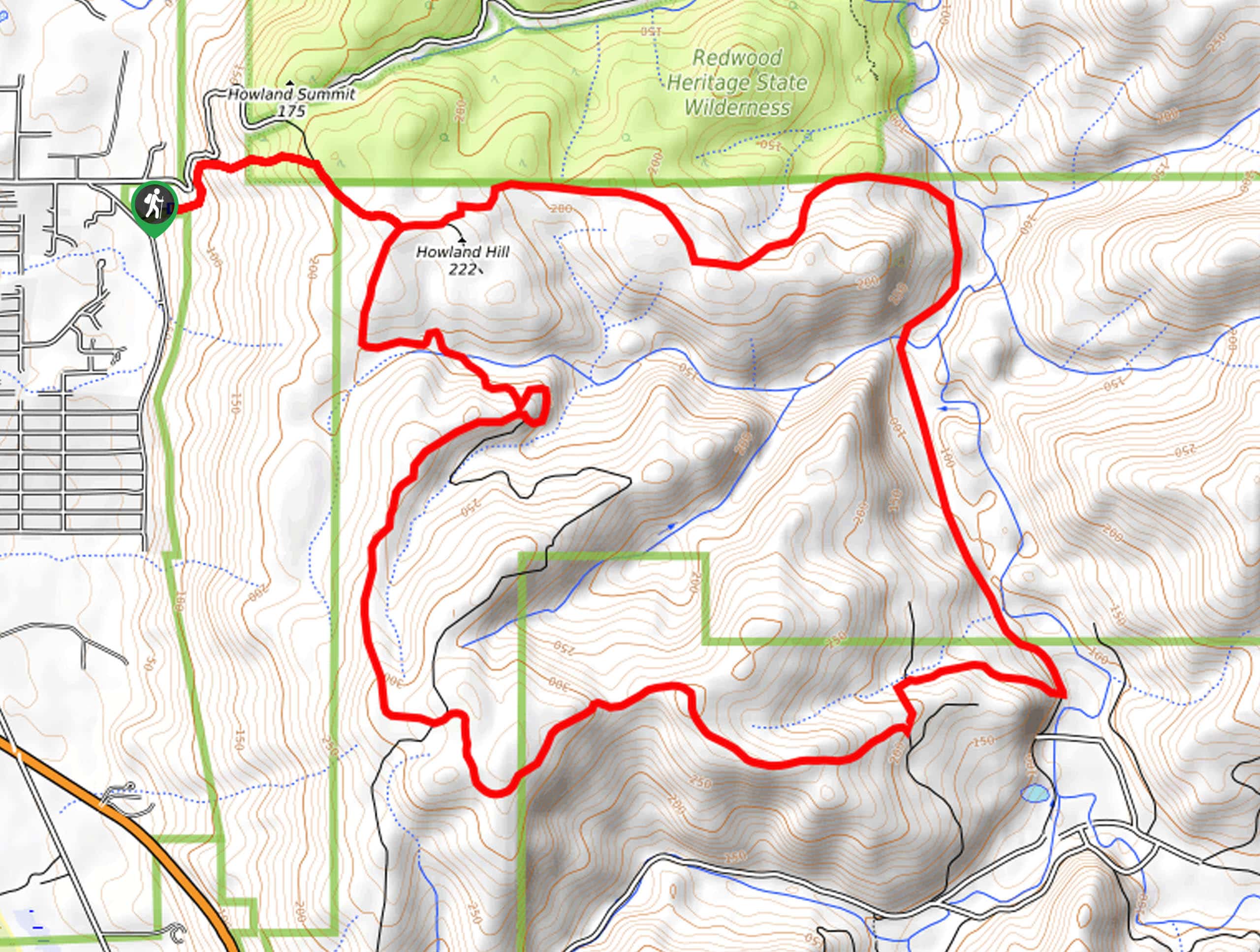
Mill Creek Horse Trail
Indulge yourself in the magical scenery of California’s coastal rainforests along the Mill Creek Horse Trail. This secluded adventure provides…
Dolason Prairie Trail
Compared to the quintessential Redwoods National and State Park hikes, the Dolason Prairie Trail offers a unique experience—traveling through high…
Comments