Orick Horse Trails to Elam Camp
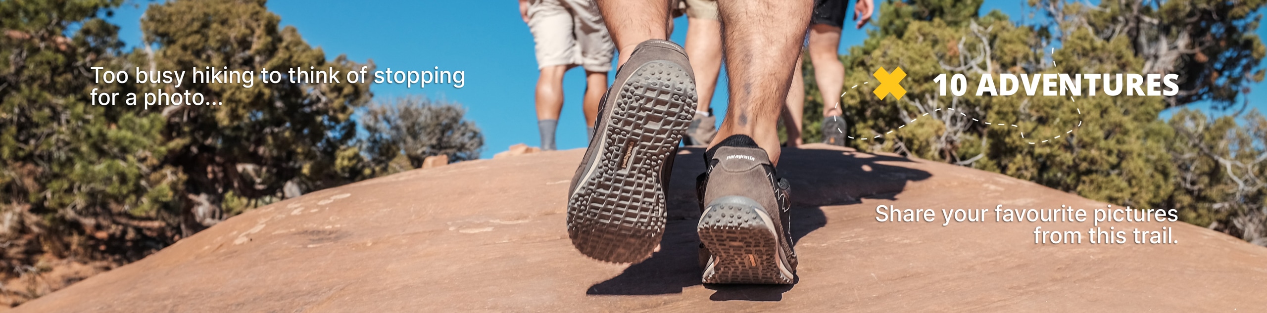
View Photos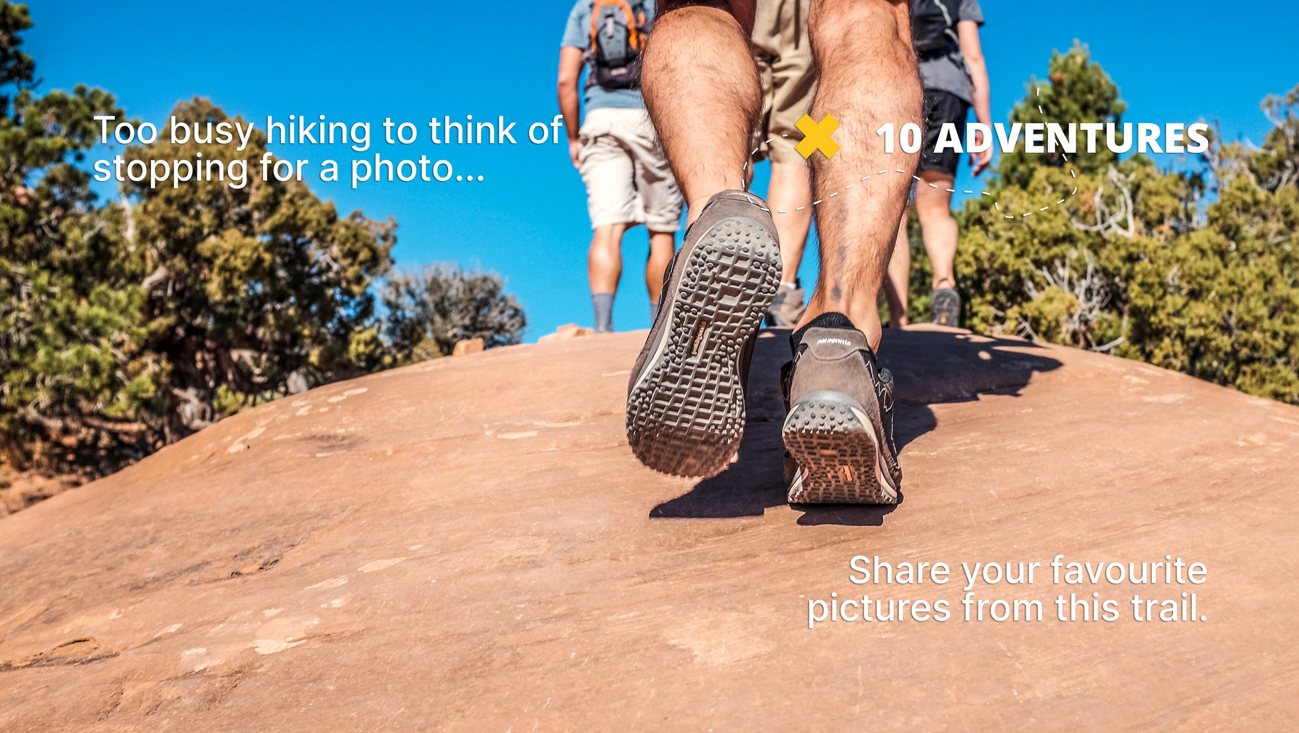
Orick Horse Trails to Elam Camp
Difficulty Rating:
The Orick Horse Trails to Elam Camp boasts an enchanting adventure into the backcountry. Explore the woodlands abundant with old-growth redwoods, moss-draped conifers, and lush undergrowth. This trek is truly one of the most scenic trails in the Redwoods Parks.
Getting there
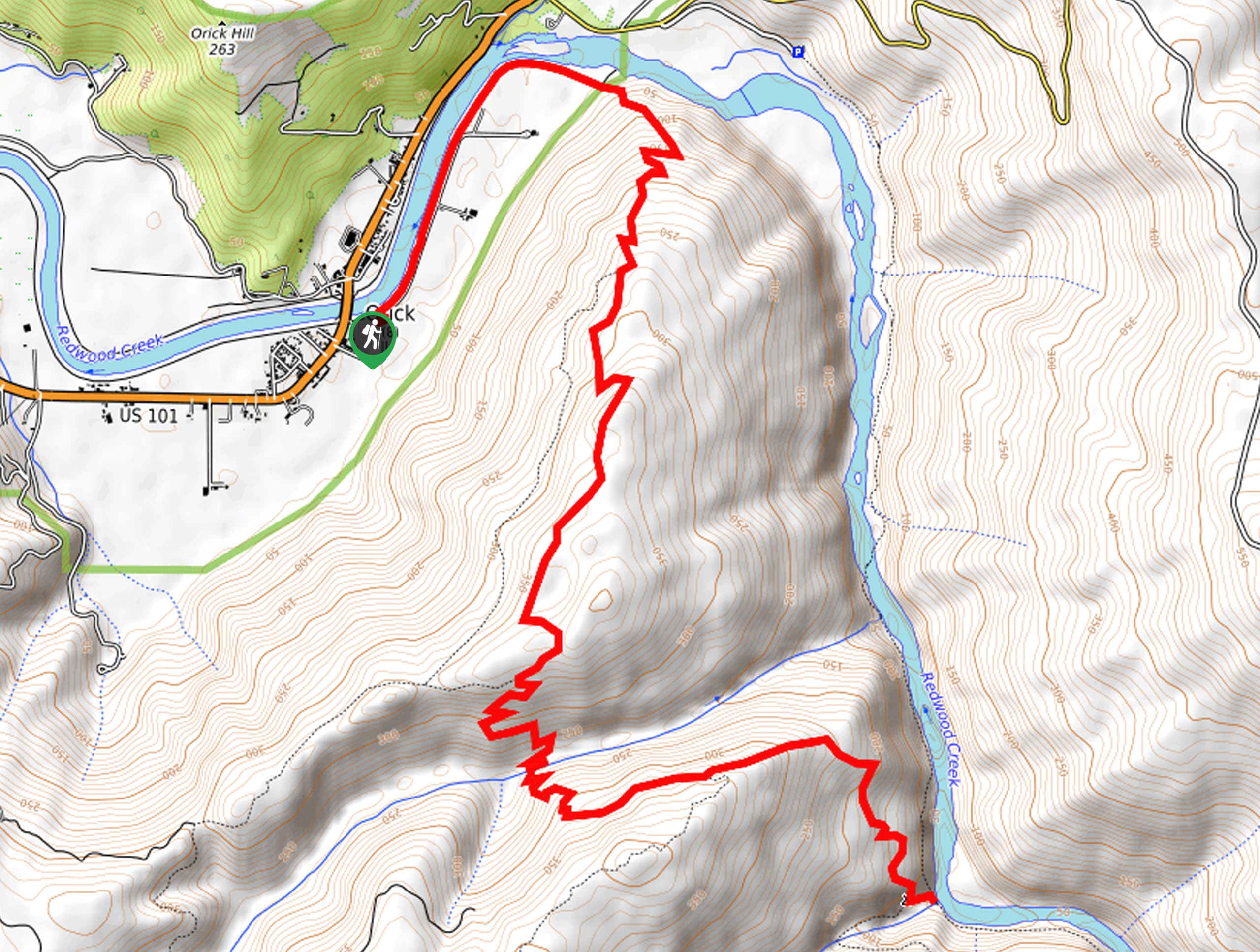
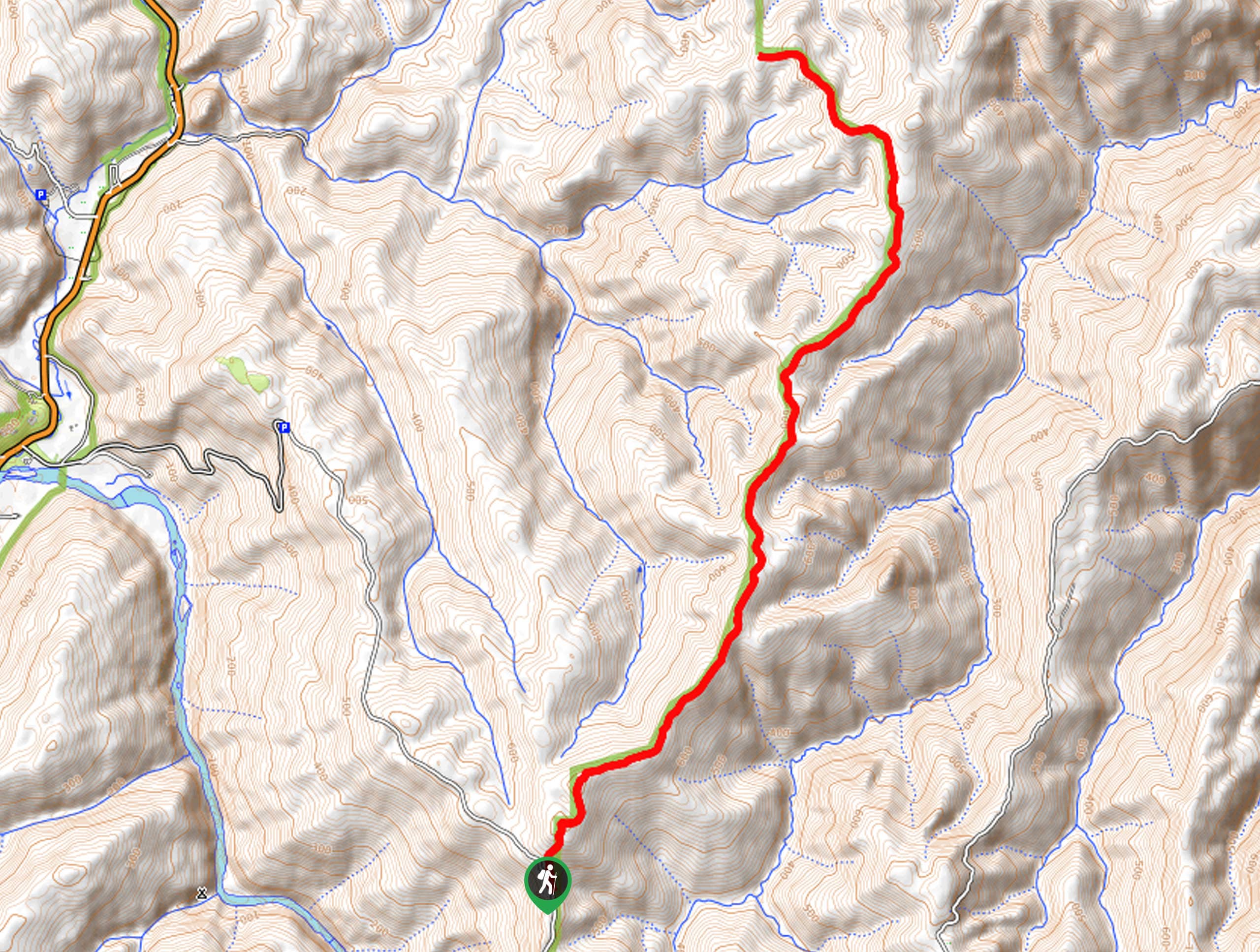
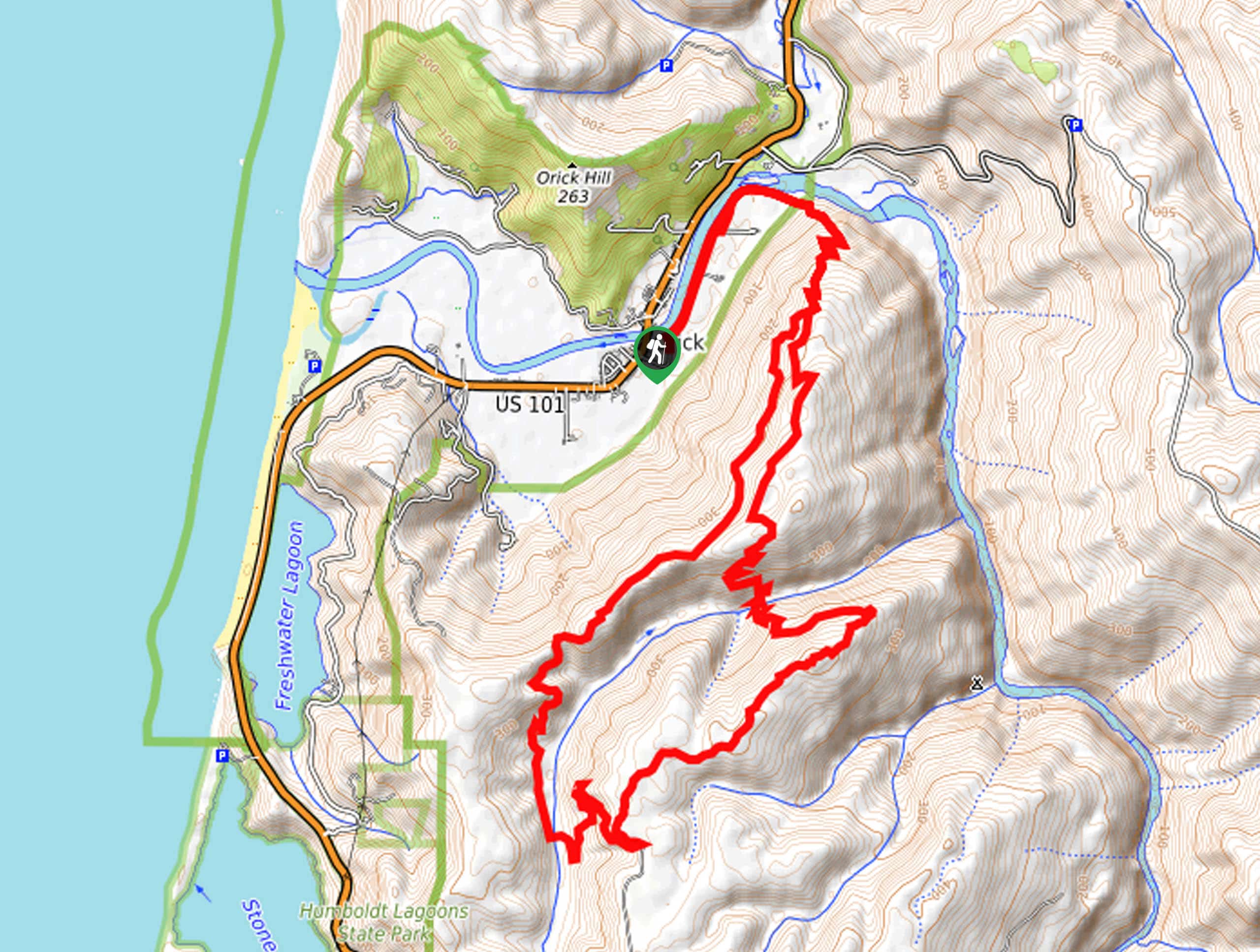
The Orick Horse Trails to Elam Camp departs from the Ridge Loop Trailhead off Drydens Road.

About
| Backcountry Campground | |
| When to do | Year-round |
| Pets allowed | No |
| Family friendly | No |
| Route Signage | Average |
| Crowd Levels | Moderate |
| Route Type | Out and back |
Orick Horse Trails to Elam Camp
Elevation Graph
Weather
Orick Horse Trails to Elam Camp Description
The Orick Horse Trails to Elam Camp is an amazing adventure near Orick, California, that hikers and horseback riders can both enjoy! The primordial ambiance of the environment will transport you to another world—distracting you from your tired feet and motivating you to explore the terrain further! Note as this trail wanders deep into the wilderness, it is important to be mindful of wildlife—including bears!
Setting out from the trailhead, the Orick Horse Trails to Elam Camp follows the Ridego Loop Trail northeast along the Redwood Creek before diverting southeast into the woodlands. This section of the route will guide you up several sets of switchbacks to the top of the ridge. At this point, you will reach an intersection, keep left, and you will reach yet another junction. Here, veer left, and you will be diverted down the ridge via several switchbacks along the McArthur Creek Loop.
Follow this path down into the McArthur Creek valley and then onto Elam Creek. Here there are several picnic tables and ample space to camp along Redwood Creek and Elam Creek. Rest, rehydrate, and retrace your footing along the path back to the trailhead when you are ready.
Similar hikes to the Orick Horse Trails to Elam Camp hike
Holter Ridge via Lost Man Trail
The Holter Ridge via Lost Man Trail is a popular mountain biking route in Redwood National Park—but it is open…
McArthur Creek Loop
Discover the beauty and diversity of Northern California’s coast along the McArthur Creek Trail. This challenging day hike exhibits the…
Mill Creek Horse Trail
Indulge yourself in the magical scenery of California’s coastal rainforests along the Mill Creek Horse Trail. This secluded adventure provides…
Comments