Hadrian’s Wall: Heddon on the Wall to Chollerford
View Photos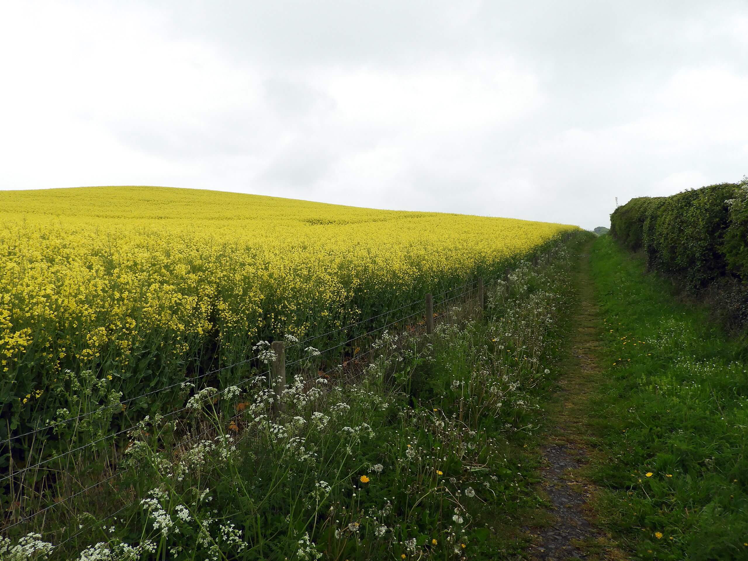
Hadrian’s Wall: Heddon on the Wall to Chollerford
Difficulty Rating:
The walk along Hadrian’s Wall: Heddon on the Wall to Chollerford is a lengthy one-way trail in Northumberland that will see you traverse the English countryside along an iconic historical monument. While out walking the trail, you will follow along the Hadrian’s Wall Path and visit several ruined portions of the wall and its fortifications that were constructed by the Roman occupiers of Britain. Walkers should take note that this is a one-way trail, so you should either plan on taking transit or arrange a pick up at the end point of the walk if you are not planning on walking its entirety.
Getting there
The trailhead for the Hadrian’s Wall: Heddon on the Wall to Chollerford Walk can be found at Hadrian’s Barn in Heddon on the Wall, just off B6528.

About
| Backcountry Campground | No |
| When to do | Year-Round |
| Pets allowed | Yes - On Leash |
| Family friendly | Older Children only |
| Route Signage | Average |
| Crowd Levels | Moderate |
| Route Type | One Way |
Hadrian’s Wall: Heddon on the Wall to Chollerford
Elevation Graph
Weather
Hadrian’s Wall: Heddon on the Wall to Chollerford Description
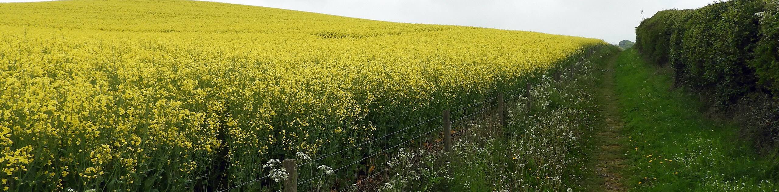
In terms of ancient fortifications in Britain, Hadrian’s Wall is one of the most instantly recognizable, as it cuts across the northern part of the country and served to protect Roman Britain from the wild Picts to the north. The second section of Hadrian’s Wall: Heddon on the Wall to Chollerford will allow you to experience the picturesque English countryside and visit several interesting historical sites along the way.
Setting out from the trailhead, you will head to the north and cross over the A69, following the footpath that runs parallel to Military Road as it bends to the northwest. Here, you will traverse the open expanse of the picturesque English countryside, before arriving at the roughly halfway point at Portgate.
Here, you can investigate the site of an important gatehouse that was situated along a Roman Road, before continuing on to the northwest along the Hadrian’s Wall Path. After passing by the ruined section of wall at Planetrees, you will make your way into Chollerford, taking a quick detour to visit the remains of Chesters Bridge, before heading northwest along the River North Tyne to cross the Chollerford Bridge and arrive at the end point of the walk.
Similar hikes to the Hadrian’s Wall: Heddon on the Wall to Chollerford hike

Hadrian’s Wall: Steel Rigg to Lanercost
Walking Hadrian’s Wall: Steel Rigg to lanercost is a fantastic - albeit lengthy - adventure that will lead you across…

Hadrian’s Wall: Wallsend to Heddon on the Wall
Hadrian’s Wall: Wallsend to Heddon on the Wall is the first section of the long distance Hadrian’s Wall Path walking…
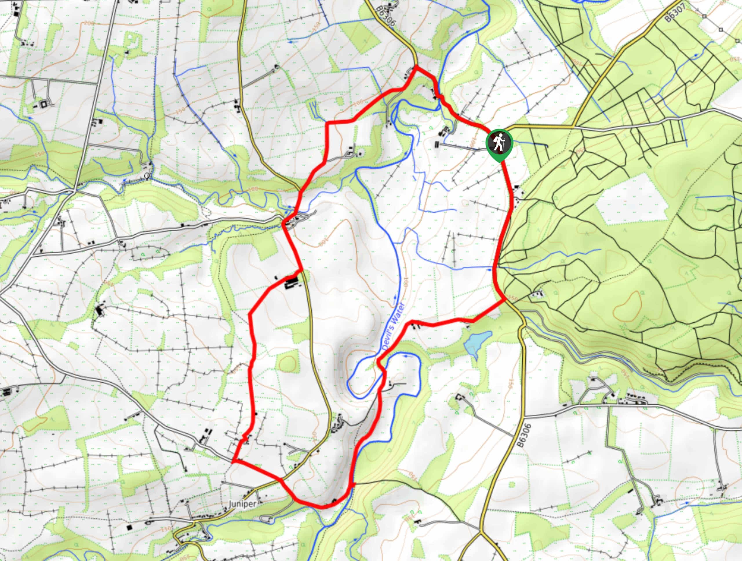
Devil’s Water Circular Walk
The Devil’s Water Circular Walk is a laidback excursion in Northumberland that will take you through the countryside surrounding a…
Comments