
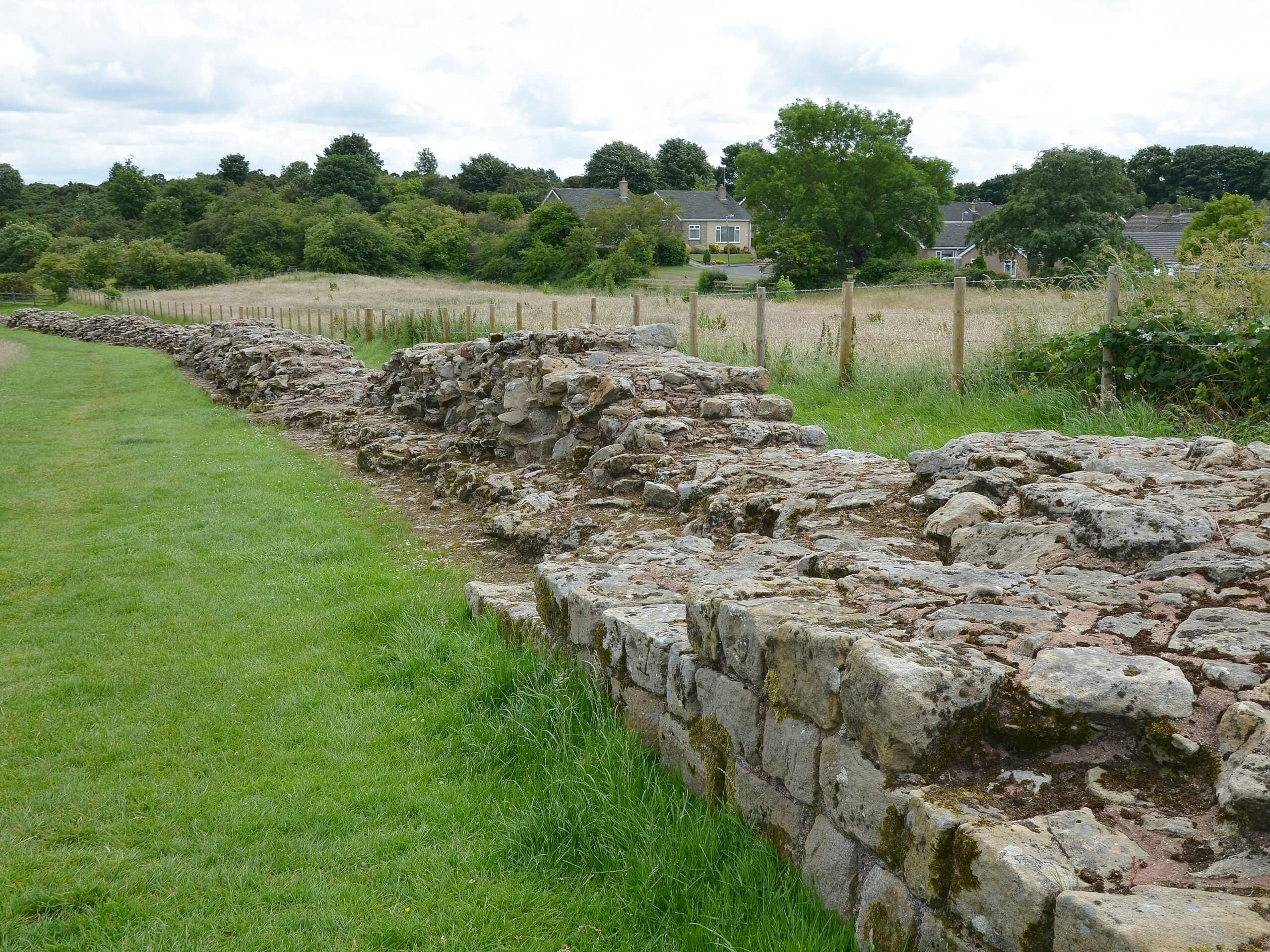
Hadrian’s Wall: Wallsend to Heddon on the Wall
by Carole Raddato, CC BY-SA 2.0Image tones and noise levels adjusted; image resized
Hadrian’s Wall: Wallsend to Heddon on the Wall
Difficulty Rating:
Hadrian’s Wall: Wallsend to Heddon on the Wall is the first section of the long distance Hadrian’s Wall Path walking route across Northern England that takes you to several fascinating historical sites. While out walking the trail, you will visit the Segedunum Roman Fort and walk along the River Tyne, before making your way out of Newcastle upon Tyne on the way into the endpoint of the walk in Heddon on the Wall. Walkers should take note that this is a one-way trail, so be sure to make travel arrangements or plan on using public transit for the return.
Getting there
The Hadrian’s Wall: Wallsend to Heddon on the Wall trailhead can be found next to the Segedunum Roman Fort viewing tower on Station Road in Wallsend.

About
| Backcountry Campground | No |
| When to do | Year-Round |
| Pets allowed | Yes - On Leash |
| Family friendly | Older Children only |
| Route Signage | Average |
| Crowd Levels | High |
| Route Type | One Way |
Hadrian’s Wall: Wallsend to Heddon on the Wall
Elevation Graph
Weather
Hadrian’s Wall: Wallsend to Heddon on the Wall Description
Featuring fascinating ancient Roman historical sites and the winding banks of the River Tyne, the Hadrian’s Wall: Wallsend to Heddon on the Wall Trail is an excellent long-distance adventure to experience the beauty of Northumberland.
Setting out from the trailhead in Wallsend, you will immediately come to the Segedunum Roman Fort and Museum, where you can learn about the Roman occupation of Britain. From here, you will follow the route south until you arrive at the banks of the River Tyne.
Continuing along the winding river to the east, you will have some impressive views across the water as you make your way through Newcastle upon Tyne. Leaving the city behind, you will traverse the open farmland and break away from the river to the north, eventually reaching the endpoint of the walk in Heddon on the Wall.
Similar hikes to the Hadrian’s Wall: Wallsend to Heddon on the Wall hike

Hadrian’s Wall: Steel Rigg to Lanercost
Walking Hadrian’s Wall: Steel Rigg to lanercost is a fantastic - albeit lengthy - adventure that will lead you across…

Scotch Gill Woods Walk
The Scotch Gill Woods Walk is a short and easy-going adventure in Morpeth, Northumberland that will take you through a…
West to East Woodburn Circular Walk
The West to East Woodburn Circular Walk is an easy-going trail in Northumberland that features laid back country terrain and…
Comments