
Hadrian’s Wall: Steel Rigg to Lanercost
View Photos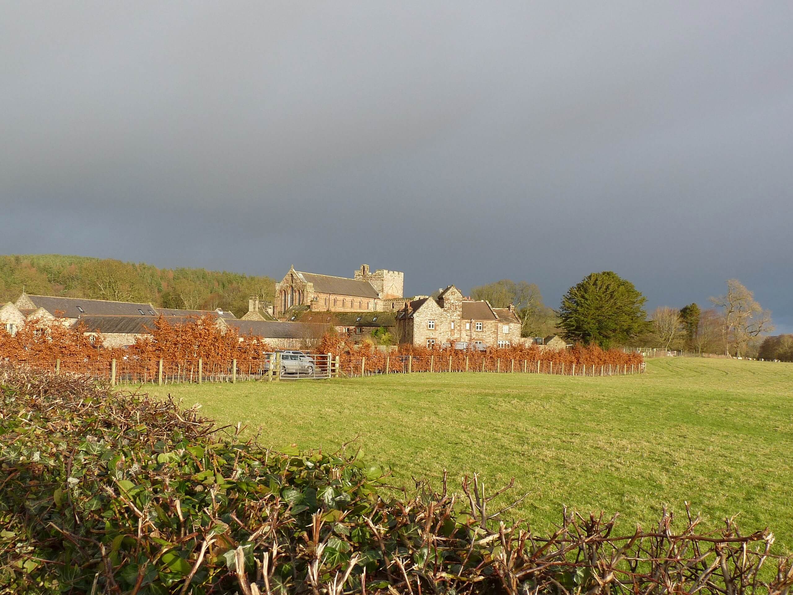
Hadrian’s Wall: Steel Rigg to Lanercost
Difficulty Rating:
Walking Hadrian’s Wall: Steel Rigg to lanercost is a fantastic - albeit lengthy - adventure that will lead you across the north of England to visit historical sites. While out walking the trail, you will pass by numerous milecastles and fortifications that once made up the impressive ancient Roman defensive line of Hadrian’s Wall, all while taking in the beautiful scenery of Northern England. This is a one-way trail, so be sure to make travel arrangements to return to the trailhead.
Getting there
The Hadrian’s Wall: Steel Rigg to Lanercost trailhead can be found at the Steel Rigg car park north of Once Brewed.

About
| Backcountry Campground | No |
| When to do | Year-Round |
| Pets allowed | Yes - On Leash |
| Family friendly | Older Children only |
| Route Signage | Average |
| Crowd Levels | Moderate |
| Route Type | One Way |
Hadrian’s Wall: Steel Rigg to Lanercost
Elevation Graph
Weather
Hadrian’s Wall: Steel Rigg to Lanercost description
For those looking to explore the historic expanse of Hadrian’s Wall that spans northern England, the Steel Rigg to Lanercost segment is certainly one of the most scenic. In addition to exploring the extensive network of fortifications, you will also be able to take in the windswept countryside of both Northumberland and Cumbria, making for an unforgettable adventure.
Setting out from the trailhead, you will make your way west along Hadrian’s Wall, enjoying the views of the surrounding countryside as you pass by ancient fortifications, such as those around Cawfields Lake. From here, you will continue on to the west across the undulating landscape, eventually traversing the rugged terrain of Walltown Crags.
After passing by the Walltown Quarry, you will head downhill and cross over the road, continuing west as you pass fascinating sites like the Poltross Burn Milecastle and the Birdoswald Roman Fort that once served to protect the province of Britannia from the Picts to the north. Heading to the southwest, you will make your way across the countryside as you head into the village of Lanercost to arrive at the endpoint of the walk.
Similar hikes to the Hadrian’s Wall: Steel Rigg to Lanercost hike

Hadrian’s Wall: Wallsend to Heddon on the Wall
Hadrian’s Wall: Wallsend to Heddon on the Wall is the first section of the long distance Hadrian’s Wall Path walking…

Scotch Gill Woods Walk
The Scotch Gill Woods Walk is a short and easy-going adventure in Morpeth, Northumberland that will take you through a…
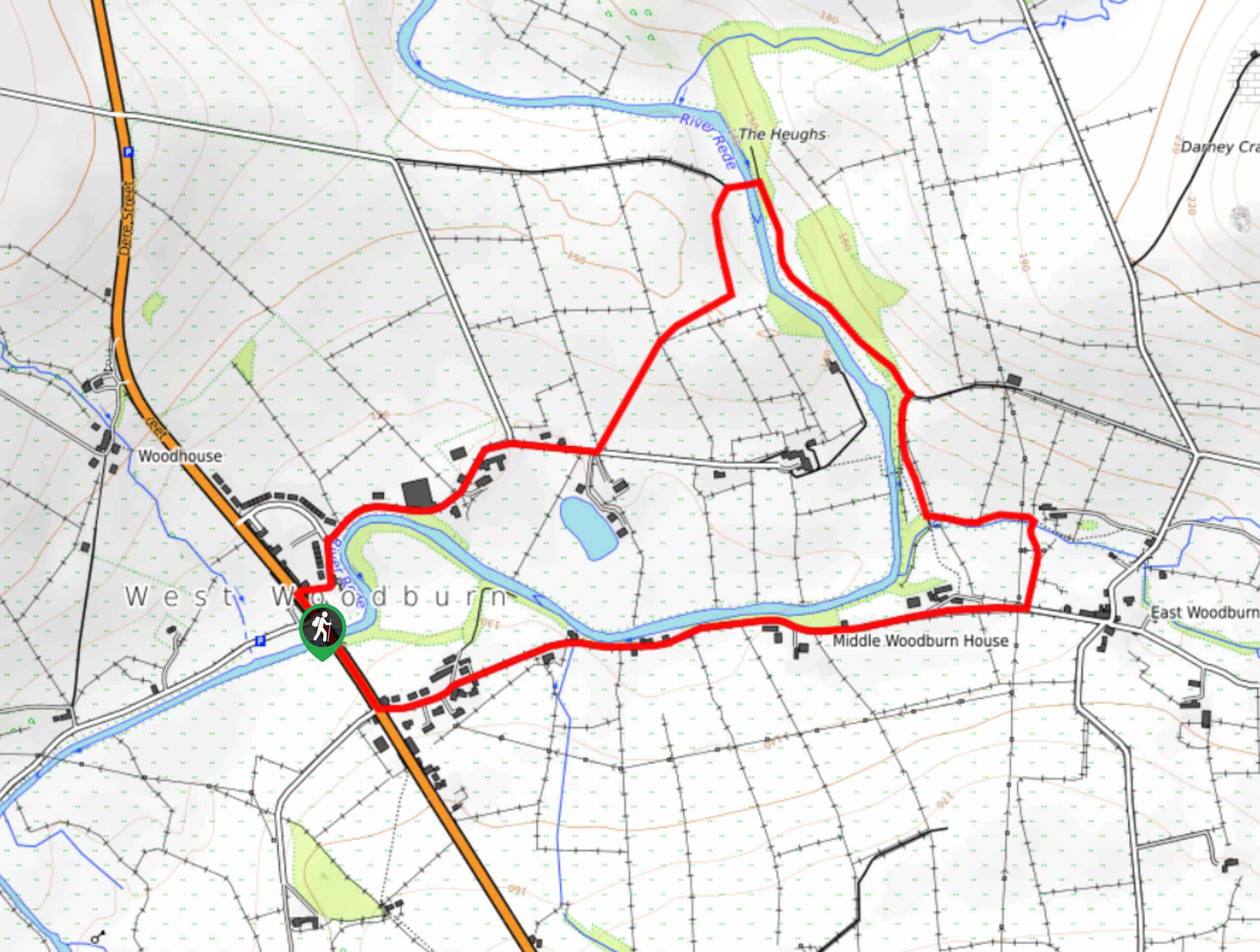
West to East Woodburn Circular Walk
The West to East Woodburn Circular Walk is an easy-going trail in Northumberland that features laid back country terrain and…
Comments