Simonside Hills Circular Walk
View Photos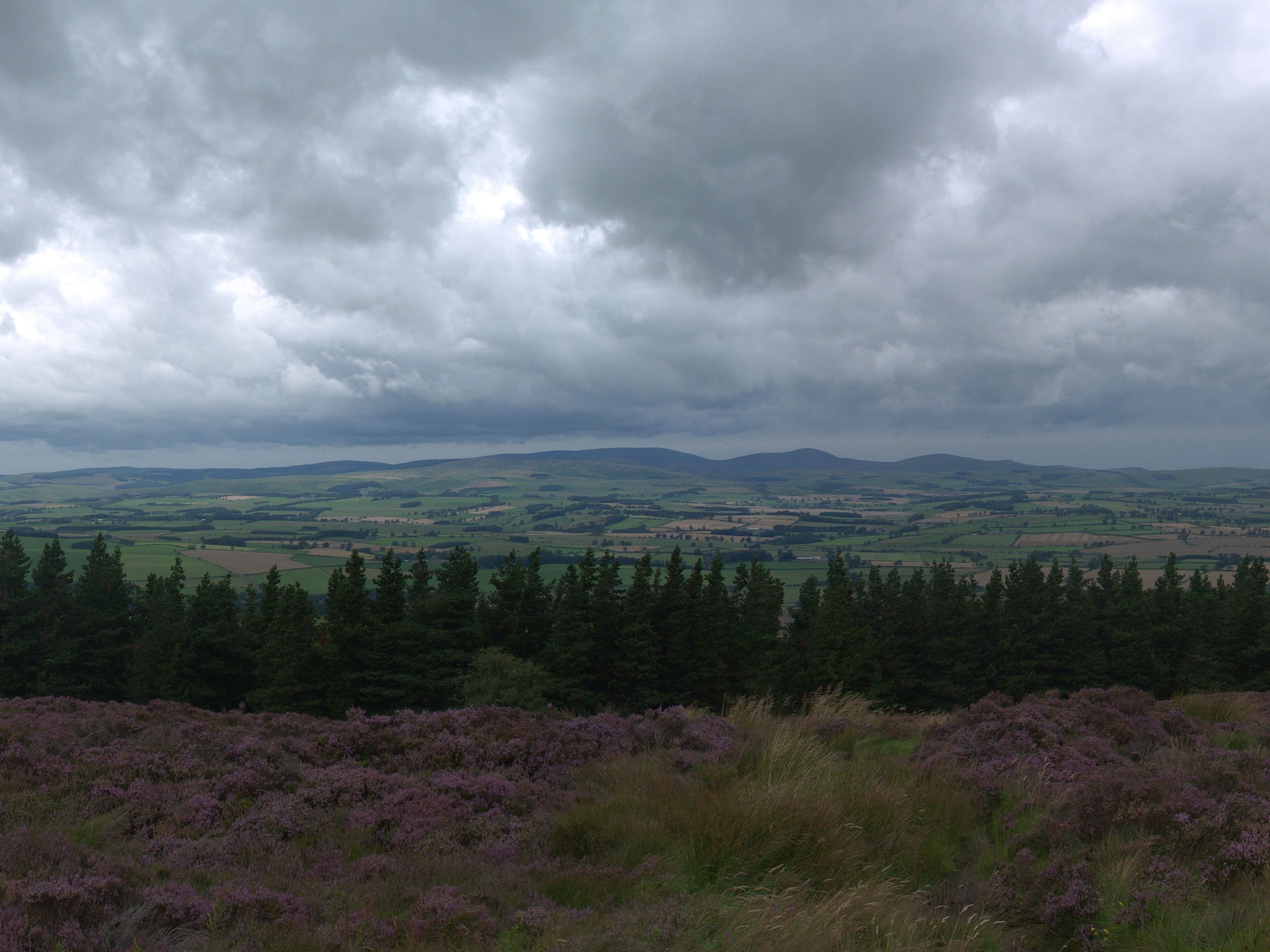
Simonside Hills Circular Walk
Difficulty Rating:
The Simonside Hills Circular Walk is an amazing walking route that will expose the natural beauty and rich history of Northumberland. While out walking the trail, you will climb uphill through the forest to view interesting geological formations, before traversing the Simonside hills to the east on the way to the fascinating Lordenshaws Iron Age Hillfort. This is an exceptional adventure for anyone who enjoys scenic views and learning about the history of the region.
Getting there
The trailhead for the Simonside Hills Circular Walk can be found at the Simonside Car Park, just 3.1mi southwest of Rothbury.

About
| Backcountry Campground | No |
| When to do | Year-Round |
| Pets allowed | Yes - On Leash |
| Family friendly | Older Children only |
| Route Signage | Average |
| Crowd Levels | Moderate |
| Route Type | Lollipop |
Simonside Hills Circular Walk
Elevation Graph
Weather
Simonside Hills Circular Walk Description
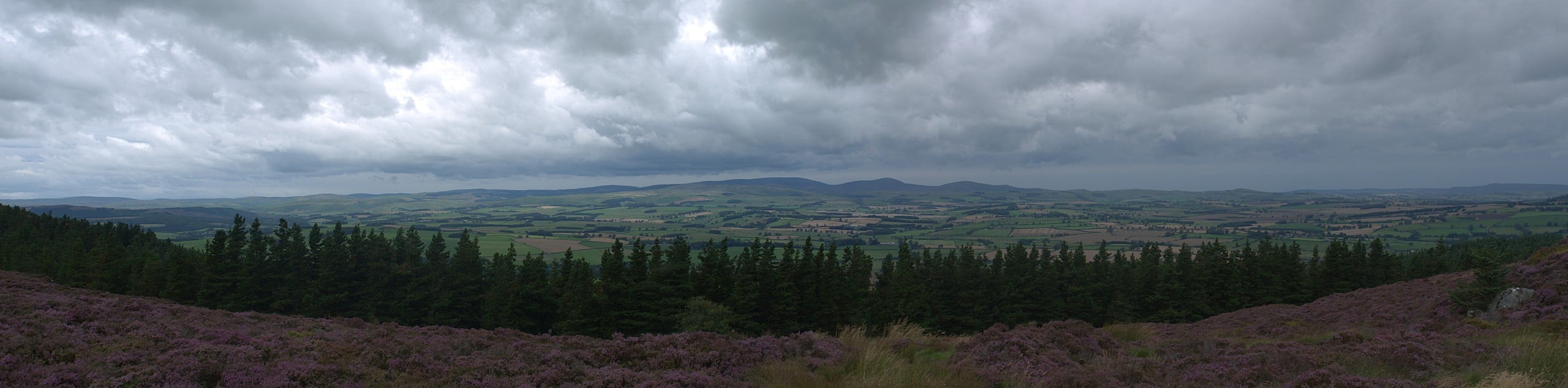
The Simonside Hills Circular Walk features some rough and rugged terrain that includes woodlands, rocky crags, and moor-covered hills, and will definitely require proper walking boots with good support to traverse. Additionally, parking at the trailhead is free; however, it can also be very busy, so be sure to arrive early to secure a space.
Although some of the terrain on this walk can be a bit difficult to traverse, when combined with the scenic views and interesting historical and geological sites, it makes for an amazing day on the trails. For those who love learning about the history of Northumberland, the Lordenshaws Iron Age Hillfort will provide plenty of opportunity to explore. Similarly, the interesting rock formations of Little Church Rock and Criss Cross Rock are perfectly suited for anyone with an interest in the geological past of the region. No matter what your interests are, there is something for everyone on the Simonside Hills Circular Walk.
Setting out from the car park, you will follow the path leading to the northwest through the forest, climbing uphill over the next 1.0mi to arrive at a junction in the trail, turning left here, you will make a short detour off the main path to visit the intriguing rock formation known as Little Church Rock. Turning back towards the main trail, you will head left and continue on your way, quickly passing by another well-known formation in the area, Criss Cross Rock.
From here, you will follow the track as it heads uphill to the southwest, before turning back to the east for the climb over the Simonside Hills. Heading to the southeast, you will follow the trail as it traverses the rugged and rocky landscape of the moor covered hills, enjoying the sweeping views of the surrounding area as you make your way across the summit of Simonside and Dove Crag.
At this point, you will continue on to the east and descend the hillside, keeping right along the trail for 1.0mi to arrive at the edge of the road. After crossing over to the opposite side, you will head straight past the car park and make your way up the hill, where you will be able to explore the fascinating historical sites surrounding the Lordenshaws Iron Age Hillfort. Here, you will be able to see the remnants of a settlement from over 2000 years ago, as well as ‘cup and ring’ carvings that likely date back to the neolithic area.
After exploring the site and taking in the views of the surrounding area, you will make your way back down the hillside towards the edge of the road. Turning right here, you will follow the road to the northwest for 1.1mi in order to arrive back at the car park where you began the Simonside Hills Circular walk.
Trail Highlights
Lordenshaws Iron Age Hillfort
Occupied roughly 2000 years ago, the Lordenshaws Iron Age Hillfort can be found in the county of Northumberland, just west of the summit of Garleigh Hill, and features double ramparts, as well as the impressions of roundhouses. Nearby, one of the largest collections of ancient “cup and ring” etchings can be found carved into the rock, likely created by Neolithic and Bronze Age people between 3500-6000 years ago.
Insider Hints
Wear proper walking boots with good support, as some sections of this walk are fairly rugged.
Parking here is free, although you might need to arrive early to secure a space.
Similar hikes to the Simonside Hills Circular Walk hike

Hadrian’s Wall: Steel Rigg to Lanercost
Walking Hadrian’s Wall: Steel Rigg to lanercost is a fantastic - albeit lengthy - adventure that will lead you across…

Hadrian’s Wall: Wallsend to Heddon on the Wall
Hadrian’s Wall: Wallsend to Heddon on the Wall is the first section of the long distance Hadrian’s Wall Path walking…

Scotch Gill Woods Walk
The Scotch Gill Woods Walk is a short and easy-going adventure in Morpeth, Northumberland that will take you through a…
Comments