Thornton-le-Dale and Ellerburn Walk
View Photos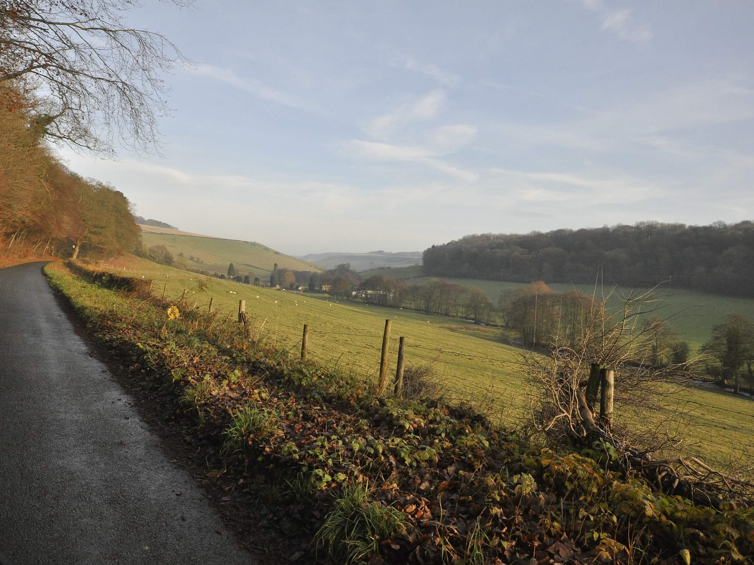
Thornton-le-Dale and Ellerburn Walk
Difficulty Rating:
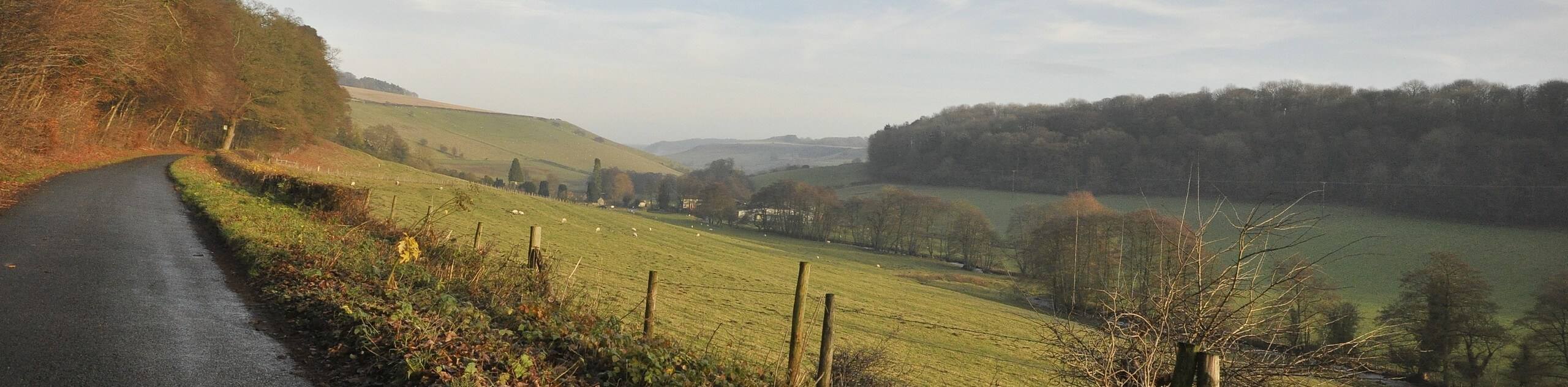
The Thornton-le-Dale and Ellerburn Walk is a quick and easy adventure in North York Moors National Park that will take you between two charming villages. While out on the trail, you will walk along the winding banks of Thornton Beck and visit the small village of Ellerburn before looping around on the return to Thornton-le-Dale. This is a lovely adventure that is perfectly suited for a fun family adventure.
Getting there
To reach the trailhead for the Thornton-le-Dale and Ellerburn Walk from Pickering, head southeast on Eastgate/A170 for 2.3mi and make a right onto maltongate. After 0.2mi, turn left to enter the car park.

About
| Backcountry Campground | No |
| When to do | Year-Round |
| Pets allowed | Yes - On Leash |
| Family friendly | Yes |
| Route Signage | Average |
| Crowd Levels | Moderate |
| Route Type | Circuit |
Thornton-le-Dale and Ellerburn Walk
Elevation Graph
Weather
Thornton-le-Dale and Ellerburn Walk Description
If you are after a relaxing village walk set within the lovely landscapes of the North York Moors, then the Thornton-le-Dale and Ellerburn Walk will be a great trail for you to get out and enjoy the outdoors. Featuring two charming villages and a tranquil setting along a winding stream, this quick adventure is almost guaranteed to help you disconnect from everyday life.
Setting out from the car park, you will initially head to the northwest to cross over the water, before turning to the northeast to exit the village of Thornton-le-Dale. From here, you will follow along the east bank of Thornton Beck, enjoying the tranquil atmosphere by the water’s edge until you arrive in Ellerburn. Crossing over the water, you will quickly meet up with Ellerburn Road and turn right to follow it back into Thornton-le-Dale where you began your walk.
Similar hikes to the Thornton-le-Dale and Ellerburn Walk hike

Kirkbymoorside and Gillamoor Walk
The Kirkbymoorside and Gillamoor Walk is a great outdoor excursion along the southern edge of North York Moors National Park…

Farndale Railway Walk to Blakey Ridge
The Farndale Railway Walk to Blakey Ridge is a lengthy but easy-going route that will allow you to experience the…

Botton and Blakey Ridge Circular Walk
The Botton and Blakey Ridge Circular Walk is a rugged and beautiful adventure that will allow you to experience the…
Comments