
Botton and Blakey Ridge Circular Walk
View Photos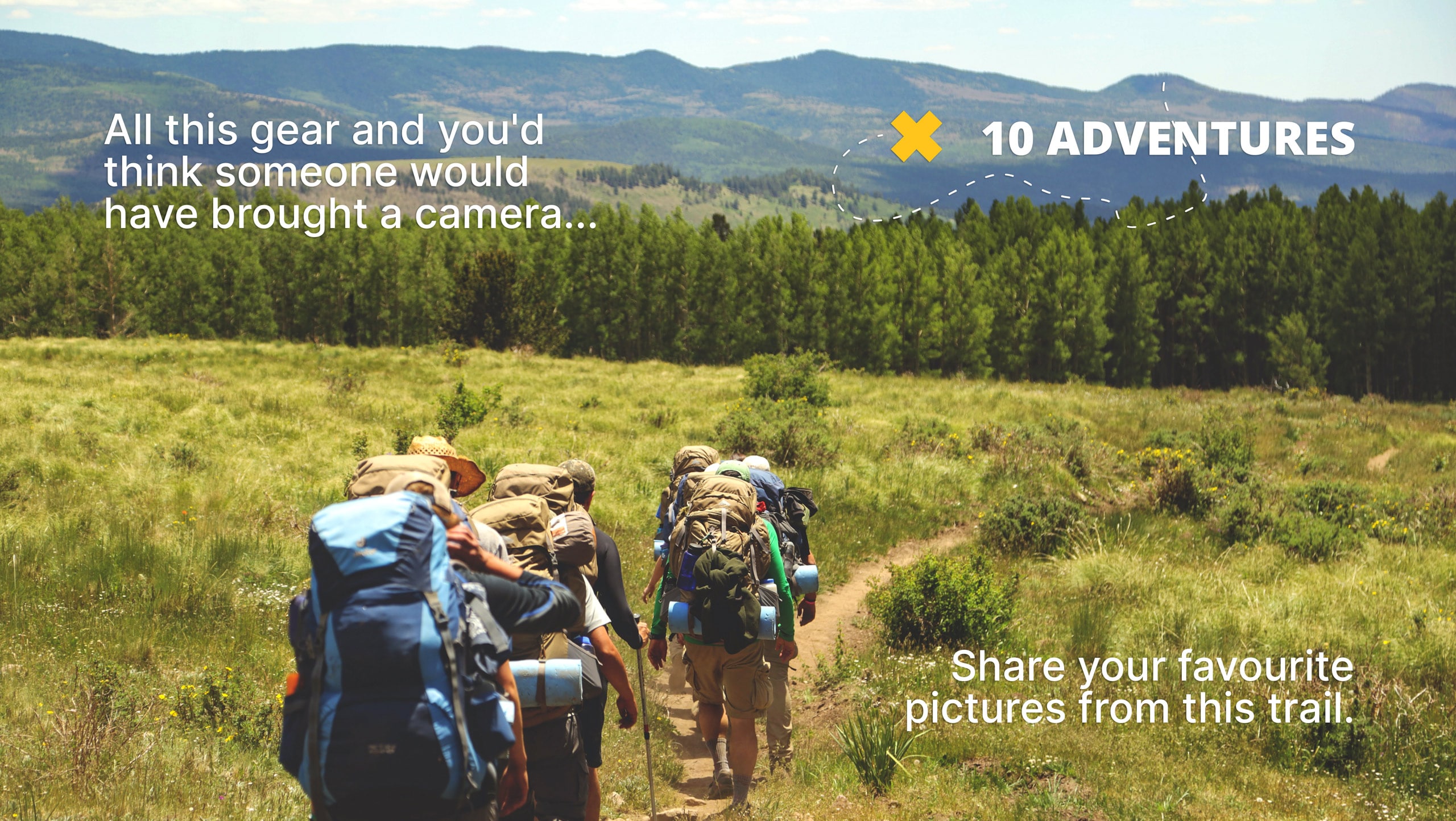
Botton and Blakey Ridge Circular Walk
Difficulty Rating:
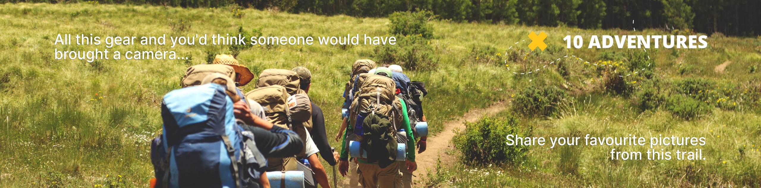
The Botton and Blakey Ridge Circular Walk is a rugged and beautiful adventure that will allow you to experience the natural beauty of the North York Moors. While out on the trail, you will traverse the old Rosedale Railway on the way into Blakey Ridge, before making your way across the moor to loop around the village of Botton. Make sure to wear proper walking boots, as the terrain along the route can be a little bit soggy.
Getting there
To reach the trailhead for the Botton and Blakey Ridge Circular Walk from Castleton, headwest on High Street for 0.4mi and make a slight left to continue on for 3.9mi. Turn left onto Knott Road and follow it for 1.5mi, where you will find a layby on the left for parking.

About
| Backcountry Campground | No |
| When to do | March-November |
| Pets allowed | Yes |
| Family friendly | Older Children only |
| Route Signage | Average |
| Crowd Levels | Low |
| Route Type | Circuit |
Botton and Blakey Ridge Circular Walk
Elevation Graph
Weather
Botton and Blakey Ridge Trail Description
If you want to experience sweeping views across the seemingly barren landscape of the North York Moors National Park while out on your next walk, then you should consider giving the Botton and Blakey Ridge Circular Walk a shot.
Setting out from the trailhead, you will initially make your way to the southeast across the moor, before turning to the southeast to meet up with the old Rosedale Railway. Following along this easy-going track, you will traverse the open landscape of the moor at a good pace and eventually arrive at Blakey Ridge.
After taking in the sweeping views across the undulating landscape of the national park, you will make your way to the northeast to continue across the moor, descending the hillside to reach Botton in the green valley below. Turning to the south, you will once again climb up the hillside to traverse the heather-covered moor on the way back into the trailhead where you began.
Similar hikes to the Botton and Blakey Ridge Circular Walk hike

Kirkbymoorside and Gillamoor Walk
The Kirkbymoorside and Gillamoor Walk is a great outdoor excursion along the southern edge of North York Moors National Park…

Farndale Railway Walk to Blakey Ridge
The Farndale Railway Walk to Blakey Ridge is a lengthy but easy-going route that will allow you to experience the…
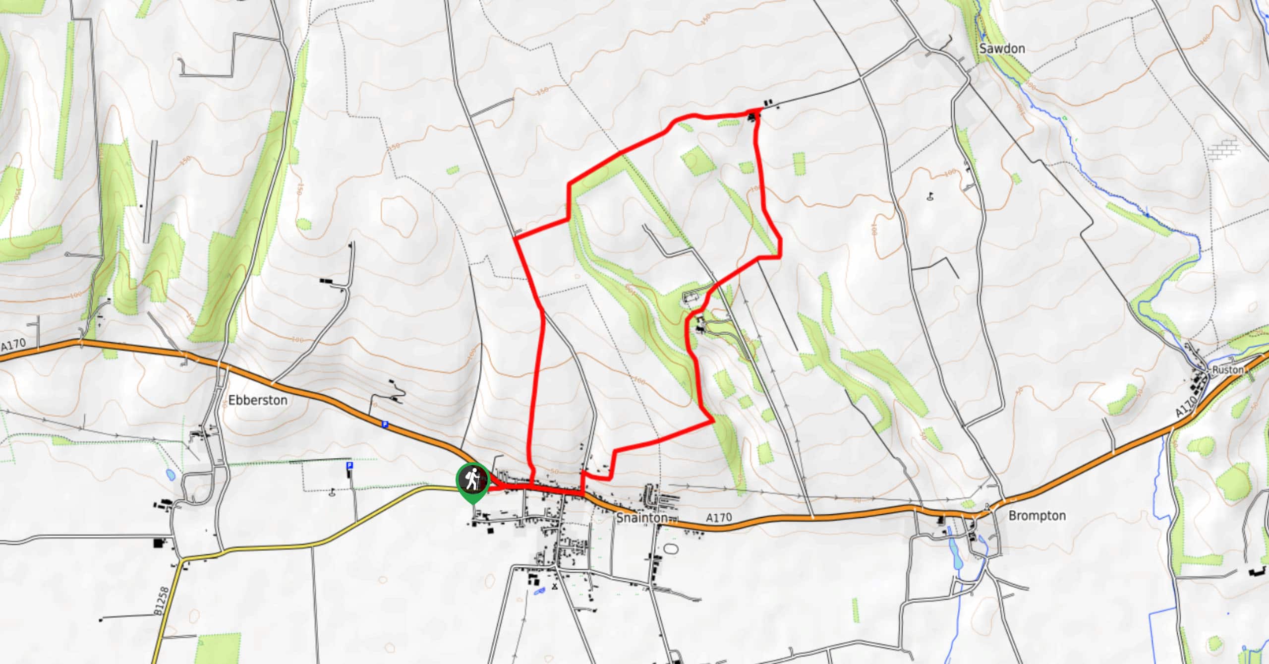
Snainton Circular Walk
The Snainton Circular Walk is a great family adventure that offers beautiful views of the countryside along the edge of…
Comments