
Farndale Railway Walk to Blakey Ridge
View Photos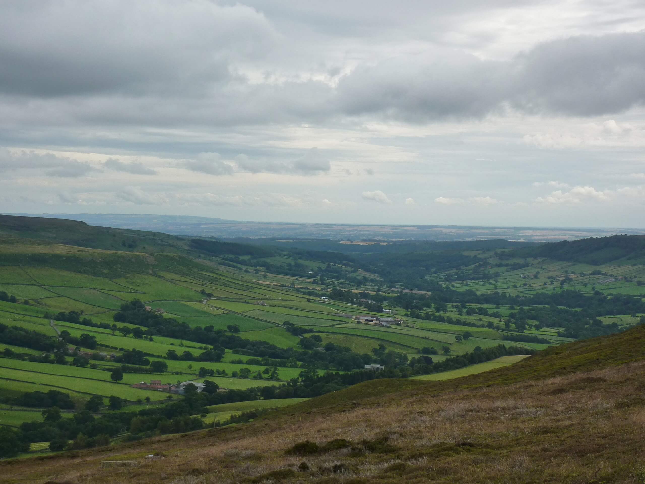
Farndale Railway Walk to Blakey Ridge
Difficulty Rating:
The Farndale Railway Walk to Blakey Ridge is a lengthy but easy-going route that will allow you to experience the rugged beauty of North York Moors National Park. While out walking the trail, you will make your way across the moor to traverse Round Hill on the way to Bloworth Crossing, where you will meet up with the old Farndale Railway and follow it into Blakey Ridge. This is a one-way trail, so be sure to make travel arrangements in advance for the return leg or else you will need to retrace your steps back to the car park!
Getting there
The trailhead for the Farndale Railway Walk to Blakey Ridge can be found just south of the Clay Bank Top car park off B1257.

About
| Backcountry Campground | No |
| When to do | Year-Round |
| Pets allowed | Yes - On Leash |
| Family friendly | Yes |
| Route Signage | Average |
| Crowd Levels | Moderate |
| Route Type | One Way |
Farndale Railway Walk to Blakey Ridge
Elevation Graph
Weather
Farndale Railway Walk to Blakey Ridge Description
Featuring beautifully scenic views that sweep across the rugged terrain of the North York Moors, the Farndale Railway Walk to Blakey Ridge is a great option for beginner adventurers looking to try their hand at a longer route, thanks to the laid back terrain along the old rail line.
Setting out from the trailhead at Clay Bank Top, you will head to the southeast and traverse the rugged and undulating terrain of the moor, taking in the views across the barren landscape as you make your way over the summit of Round Hill and pass by The Face Stone.
After arriving at Bloworth Crossing, continue on to the southeast and follow along the old Farndale Railway line as you meander across the moor and enjoy sweeping views across the valley below. Eventually, you will arrive at the end point of your walk in Blakey Ridge, where you can either wait for your ride to pick you up or head back along the trail in the direction that you came.
Similar hikes to the Farndale Railway Walk to Blakey Ridge hike

Kirkbymoorside and Gillamoor Walk
The Kirkbymoorside and Gillamoor Walk is a great outdoor excursion along the southern edge of North York Moors National Park…

Botton and Blakey Ridge Circular Walk
The Botton and Blakey Ridge Circular Walk is a rugged and beautiful adventure that will allow you to experience the…
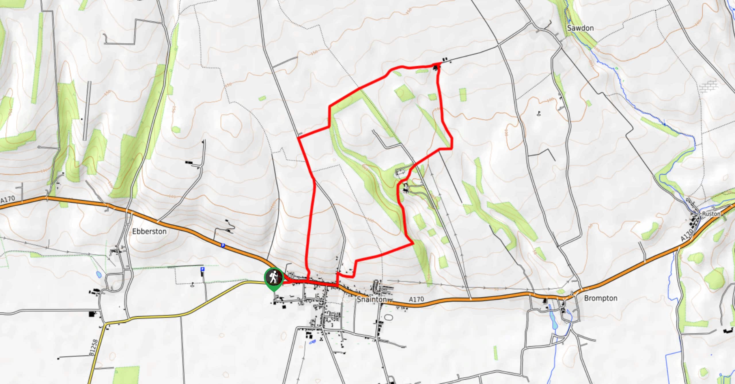
Snainton Circular Walk
The Snainton Circular Walk is a great family adventure that offers beautiful views of the countryside along the edge of…
Comments