Osmotherley and the Cleveland Way
View Photos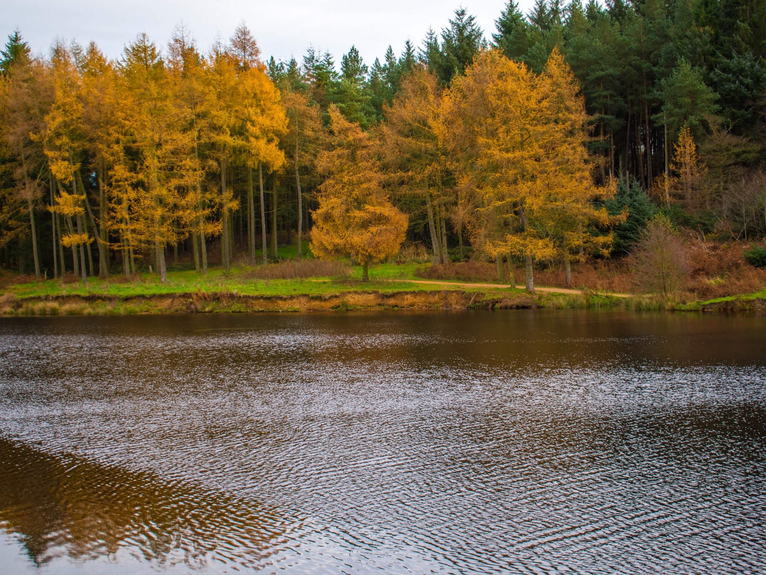
Osmotherley and the Cleveland Way
Difficulty Rating:
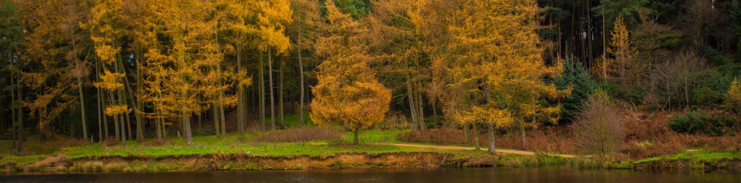
The Osmotherley and the Cleveland Way Trail is a fantastic journey at the western edge of North York Moors National Park that offers extensive views of the surrounding landscape. While out on the trail, you will face several brief climbs as you traverse the open fields and moors that characterize the landscape here. Off-lead dog walking is also a possibility, making this an amazing adventure that the entire family can enjoy!
Getting there
To reach the trailhead for the Osmotherley and the Cleveland Way Trail from Northallerton, head north on Brompton Road/A684 for 0.7mi and take the second exit at the roundabout onto Stokesley Road. Follow this for 5.0mi and turn right onto Clack Lane, continuing on for a further 0.8mi. Keep straight onto W End for 0.2mi to arrive at the trailhead.

About
| Backcountry Campground | No |
| When to do | Year-Round |
| Pets allowed | Yes |
| Family friendly | Older Children only |
| Route Signage | Average |
| Crowd Levels | Moderate |
| Route Type | Circuit |
Osmotherley and the Cleveland Way
Elevation Graph
Weather
Osmotherley and the Cleveland Way Trail Description
If you are looking for some peace and quiet along a beautiful trail that also offers the opportunity for your canine companion to run off-lead and explore the landscape, then the Osmotherley and the Cleveland Way is a great option to do so. There are a few stiles that you might need to help them traverse, as well as a few sections where livestock may be present, so try to keep them on a lead in these areas to avoid any potential interactions.
Setting out from the trailhead, you will make your way to the north through the village of Osmotherley and traverse the open fields that will eventually bring you to a scenic viewpoint over the surrounding area. Continuing to the northeast along the edge of Arncliffe Wood, you will traverse the summit of Beacon Hill and follow the path as it loops around to the southeast to descend the hillside. After crossing the footbridge, you will head south along the edge of the moor and turn west to descend the hillside on the way back into Osmotherley.
Similar hikes to the Osmotherley and the Cleveland Way hike

Kirkbymoorside and Gillamoor Walk
The Kirkbymoorside and Gillamoor Walk is a great outdoor excursion along the southern edge of North York Moors National Park…

Farndale Railway Walk to Blakey Ridge
The Farndale Railway Walk to Blakey Ridge is a lengthy but easy-going route that will allow you to experience the…

Botton and Blakey Ridge Circular Walk
The Botton and Blakey Ridge Circular Walk is a rugged and beautiful adventure that will allow you to experience the…
Comments