Coast to Coast Walk: Ingleby Cross to Clay Bank Top
View Photos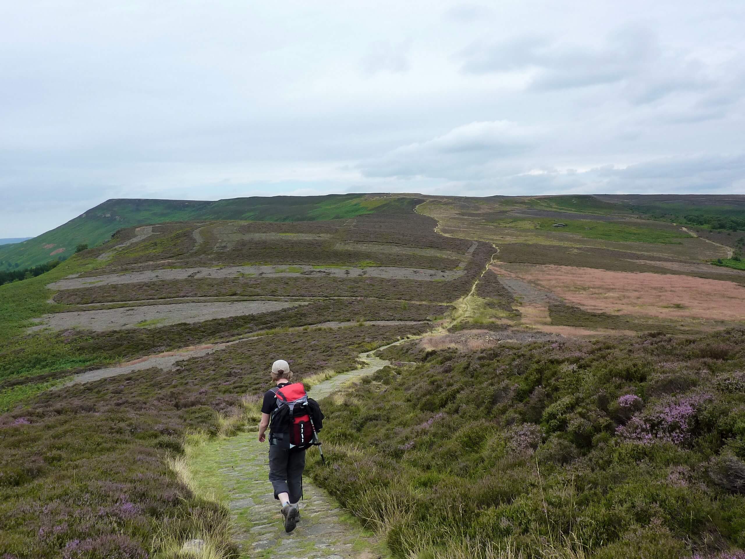
Coast to Coast Walk: Ingleby Cross to Clay Bank Top
Difficulty Rating:
The Coast to Coast Walk: Ingleby Cross to Clay Bank Top is only a small segment of a much longer national walking route that will take you from the Irish Sea to the North Sea. While out walking this portion of the trail, you will traverse the rugged terrain of North York Moors National Park and take in the stunning scenery of the surrounding area from atop several moorland hills. This is a one-way trail, so be sure to arrange a pick up at the endpoint of your walk.
Getting there
To reach the Coast to Coast Walk: Ingleby Cross to Clay Bank Top trailhead from Stokesley, head southon Thirsk Road for 0.5mi and turn right onto A172, following it for 6.3mi. Make a right here and continue on for 415ft to arrive at the trailhead.

About
| Backcountry Campground | No |
| When to do | March-November |
| Pets allowed | Yes - On Leash |
| Family friendly | No |
| Route Signage | Average |
| Crowd Levels | Moderate |
| Route Type | One Way |
Coast to Coast Walk: Ingleby Cross to Clay Bank Top
Elevation Graph
Weather
Coast to Coast Walk: Ingleby Cross to Clay Bank Top Description
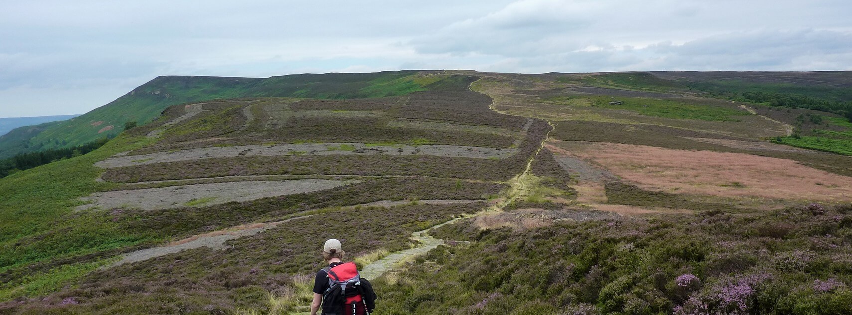
Whether you are looking to complete the entirety of the Coast to Coast Walk or just want to experience some of the most beautiful terrain within North York Moors National Park, the Ingleby Cross to Clay Bank Top portion of this famous long distance adventure is an amazing experience to be had.
Setting out from the trailhead in Ingleby Cross, you will head to the southeast to climb up the steep hillside of Arncliffe Wood before turning to the northeast to traverse the summit of Beacon Hill. From here, you will head downhill and continue through the forests and fields of the valley floor to reach the opposite side at the edge of Live Moor. Climbing uphill once more, you will traverse the rugged landscape of the moor to the northeast, heading back downhill after crossing over the summit of Carlton Bank.
After passing through the Lord Stones Country Park, you will make your way over the undulating terrain of the Cringle and Cold moors, taking in the stunning views of the surrounding landscape before passing by The Wainstones on the final leg of the walk that will lead you downhill to Clay Bank Top.
Similar hikes to the Coast to Coast Walk: Ingleby Cross to Clay Bank Top hike

Kirkbymoorside and Gillamoor Walk
The Kirkbymoorside and Gillamoor Walk is a great outdoor excursion along the southern edge of North York Moors National Park…

Farndale Railway Walk to Blakey Ridge
The Farndale Railway Walk to Blakey Ridge is a lengthy but easy-going route that will allow you to experience the…

Botton and Blakey Ridge Circular Walk
The Botton and Blakey Ridge Circular Walk is a rugged and beautiful adventure that will allow you to experience the…
Comments