Cod Beck to Thimbleby Walk
View Photos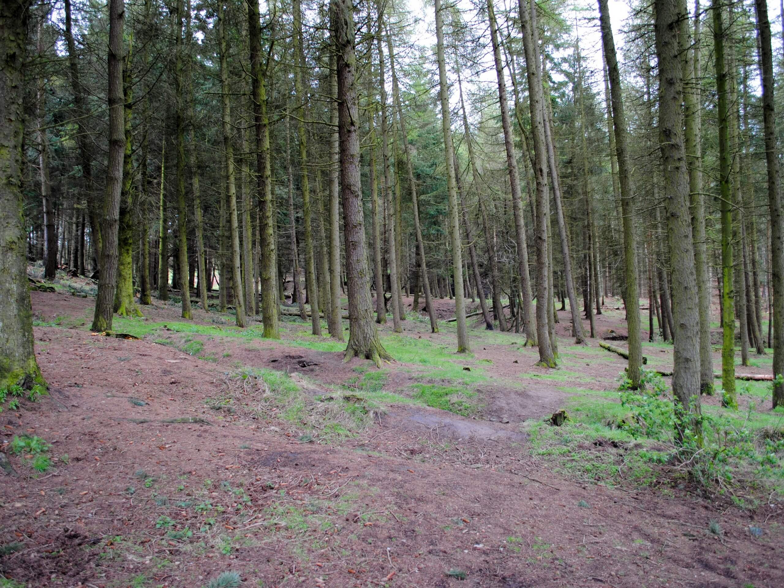
Cod Beck to Thimbleby Walk
Difficulty Rating:
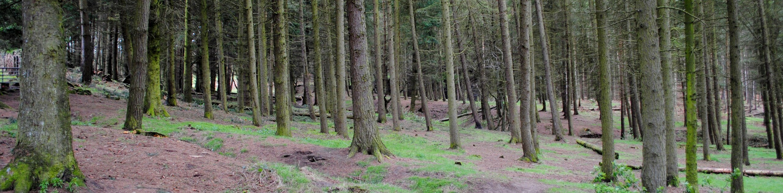
The Cod Beck to Thimbleby Walk is a fun journey through North York Moors National Park that will allow you to experience the various landscapes along the western edge of the park. While out on the walk, you will pass by the Cod Beck Reservoir and traverse some open fields and tranquil forests before traversing a small stretch of moorland terrain. There are some steep inclines along this route; however, the chance to experience the beautiful landscape of North Yorkshire is well worth the effort.
Getting there
To reach the trailhead for the Cod Beck to Thimbleby Walk from Osmotherley, head north on N End for 0.3mi and keep straight onto Quarry Lane. After 1.4mi, you will turn right to enter the car park.

About
| Backcountry Campground | No |
| When to do | Year-Round |
| Pets allowed | Yes - On Leash |
| Family friendly | Older Children only |
| Route Signage | Average |
| Crowd Levels | Moderate |
| Route Type | Lollipop |
Cod Beck to Thimbleby Walk
Elevation Graph
Weather
Cod Beck to Thimbleby Walk Description
If you want to experience the diversity of terrain and beautiful scenery that can be found within North York Moors National Park, then the Cod Beck to Thimbleby Walk is a great way to do so. Waterside views, peaceful forests, open fields, and barren moors await on this scenic – and at times tiring – adventure in North Yorkshire.
Setting out from the trailhead, you will make your way east along Crabdale Beck, before heading to the south to climb uphill along a lane that borders a forest on the right and the moors on your left. Continuing on to the southwest, you will traverse some open fields and head downhill, before climbing up another steep hillside to pass through a lovely stretch of forest.
Descending the hillside once again, you will follow the route as it turns to the north, meeting up with the road to take you through the village of Thimbleby. From here, you will head to the northeast through Osmotherley before climbing uphill for some views of the Cod Beck Reservoir on the return to the car park where you began.
Similar hikes to the Cod Beck to Thimbleby Walk hike

Kirkbymoorside and Gillamoor Walk
The Kirkbymoorside and Gillamoor Walk is a great outdoor excursion along the southern edge of North York Moors National Park…

Farndale Railway Walk to Blakey Ridge
The Farndale Railway Walk to Blakey Ridge is a lengthy but easy-going route that will allow you to experience the…

Botton and Blakey Ridge Circular Walk
The Botton and Blakey Ridge Circular Walk is a rugged and beautiful adventure that will allow you to experience the…
Comments