Highcliffe to Hanging Stone Walk
View Photos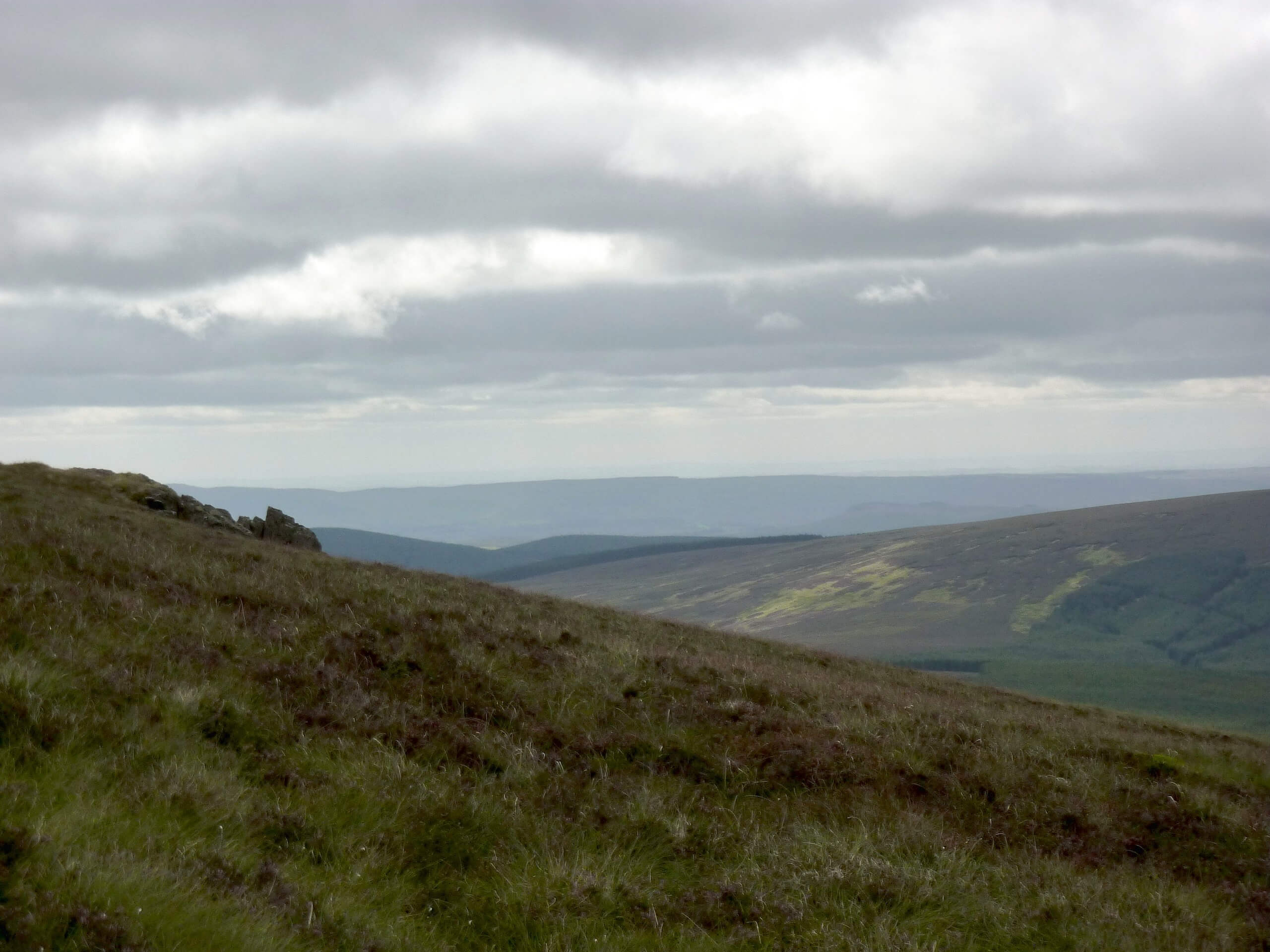
Highcliffe to Hanging Stone Walk
Difficulty Rating:
The Highcliffe to Hanging Stone Walk is a long, but easy-going adventure on the northern edge of North York Moors National Park that will lead you uphill for some commanding views over the surrounding area. While out on the trail, you will leave the town behind and climb uphill through the forest to reach the Highcliffe lookout along the edge of the moor. There are a few steep climbs throughout, but this walk is great for a fun family adventure that will be sure to tire your kids out.
Getting there
The trailhead for the Highcliffe to Hanging Stone Walk can be found along Derwent Avenue, just northeast of Highcliffe Primary School.

About
| Backcountry Campground | No |
| When to do | Year-Round |
| Pets allowed | Yes - On Leash |
| Family friendly | Yes |
| Route Signage | Average |
| Crowd Levels | Moderate |
| Route Type | Circuit |
Highcliffe to Hanging Stone Walk
Elevation Graph
Weather
Highcliffe to Hanging Stone Trail Description
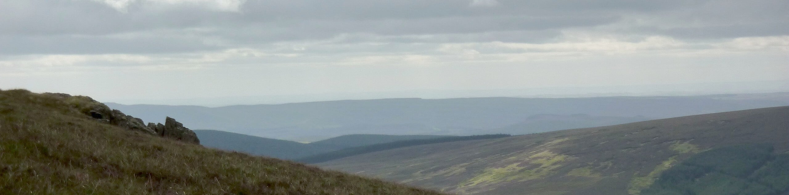
If the aim of your walk is to get some great exercise and take in some commanding views across the North Yorkshire landscape, then the Highcliffe to Hangingstone Walk is a great option to get you onto the trail and enjoying the outdoors.
Setting out from the trailhead near the Highcliffe Primary School, you will head to the southeast to work your way through town and arrive at the edge of North York Moors National Park. From here, you will climb uphill through the forest and turn to the southwest, traversing the hillside to eventually reach the scenic lookat at Highcliffe.
After taking in the sweeping views that include the towns and open countryside of Yorkshire to the north, and the vast moors top the south, you will make your way to the west along the edge of the forest. Continuing on to the northwest, you will descend the hillside through Bousdale Wood to eventually arrive at the Guisborough Forest and Walkway Visitor Centre. From here, head back to the east and make your way through town, crossing over Hutton Beck before arriving back at the starting point of your adventure.
Similar hikes to the Highcliffe to Hanging Stone Walk hike

Kirkbymoorside and Gillamoor Walk
The Kirkbymoorside and Gillamoor Walk is a great outdoor excursion along the southern edge of North York Moors National Park…

Farndale Railway Walk to Blakey Ridge
The Farndale Railway Walk to Blakey Ridge is a lengthy but easy-going route that will allow you to experience the…

Botton and Blakey Ridge Circular Walk
The Botton and Blakey Ridge Circular Walk is a rugged and beautiful adventure that will allow you to experience the…
Comments