Danby, Ainthorpe, and Little Fryup Dale Walk
View Photos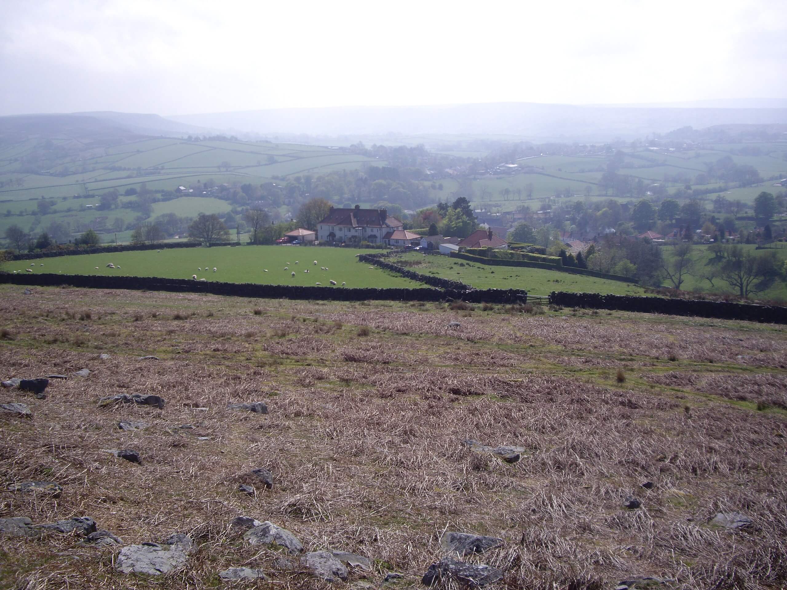
Danby, Ainthorpe, and Little Fryup Dale Walk
Difficulty Rating:
The Danby, Ainthorpe, and Little Fryup Dale Walk is an exceptional route that really highlights the characteristic terrain of the North York Moors. While out on the trail, you will walk uphill across the open countryside and traverse the rugged terrain of the moor, all while talking in the panoramic views of the national park. This walk is one of the best ways to take in the natural beauty of the region.
Getting there
The trailhead for the Danby, Ainthorpe, and Little Fryup Dale Walk can be found next to the Danby car park that sits opposite The Moors National Park Centre on Lodge Lane, just southeast of Danby.

About
| Backcountry Campground | No |
| When to do | March-November |
| Pets allowed | Yes - On Leash |
| Family friendly | Older Children only |
| Route Signage | Average |
| Crowd Levels | Moderate |
| Route Type | Lollipop |
Danby, Ainthorpe, and Little Fryup Dale Walk
Elevation Graph
Weather
Danby, Ainthorpe, and Little Fryup Dale Walk Description
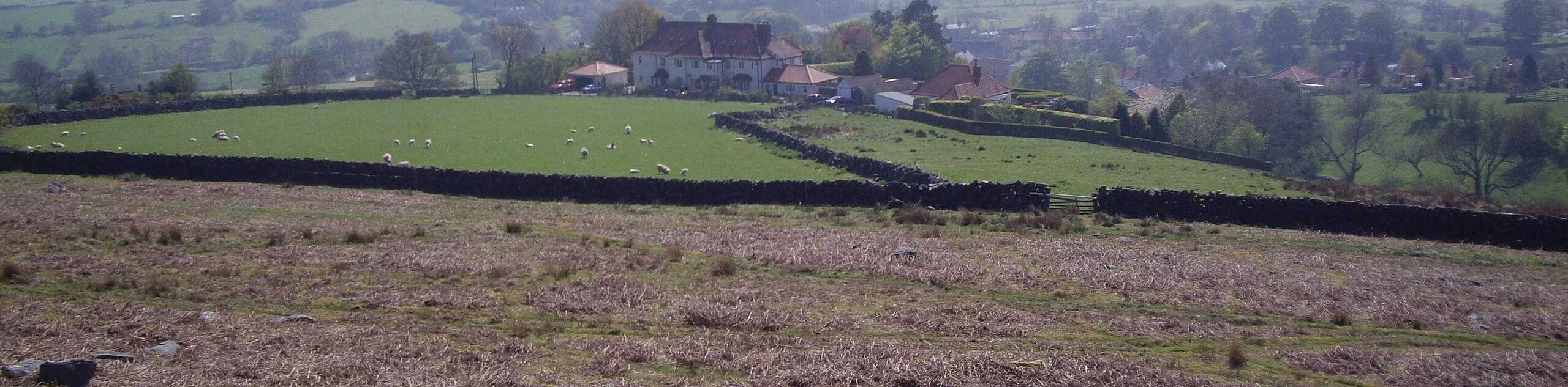
If you want to complete one walk that encapsulates the character of the North York Moors landscape, the Danby, Ainthorpe, and Little Fryup Dale Walk will do just that. Featuring sweeping views across the picturesque countryside, dales, valleys, and moors, this walk will certainly not disappoint in the scenery department.
Setting out from the car park, you will head to the southwest and cross over the winding banks of the River Esk, continuing on to climb uphill across the countryside and access the rugged terrain of the moor. After traversing this barren swathe of terrain and enjoying sweeping views of the national park surrounding you, you will continue on to the southeast and descend the hillside.
Reaching the southeast corner of the route, you will turn to the northwest and traverse the open fields, crossing over Little Fryup Beck to meet up with Castle Lane. Following this to the north, you will eventually pass by the historic 14th Century estate of Danby Castle and make your way downhill to once again cross over the River Esk on the return to the trailhead.
Similar hikes to the Danby, Ainthorpe, and Little Fryup Dale Walk hike

Kirkbymoorside and Gillamoor Walk
The Kirkbymoorside and Gillamoor Walk is a great outdoor excursion along the southern edge of North York Moors National Park…

Farndale Railway Walk to Blakey Ridge
The Farndale Railway Walk to Blakey Ridge is a lengthy but easy-going route that will allow you to experience the…

Botton and Blakey Ridge Circular Walk
The Botton and Blakey Ridge Circular Walk is a rugged and beautiful adventure that will allow you to experience the…
Comments