Lythe and Kettleness Circular Walk
View Photos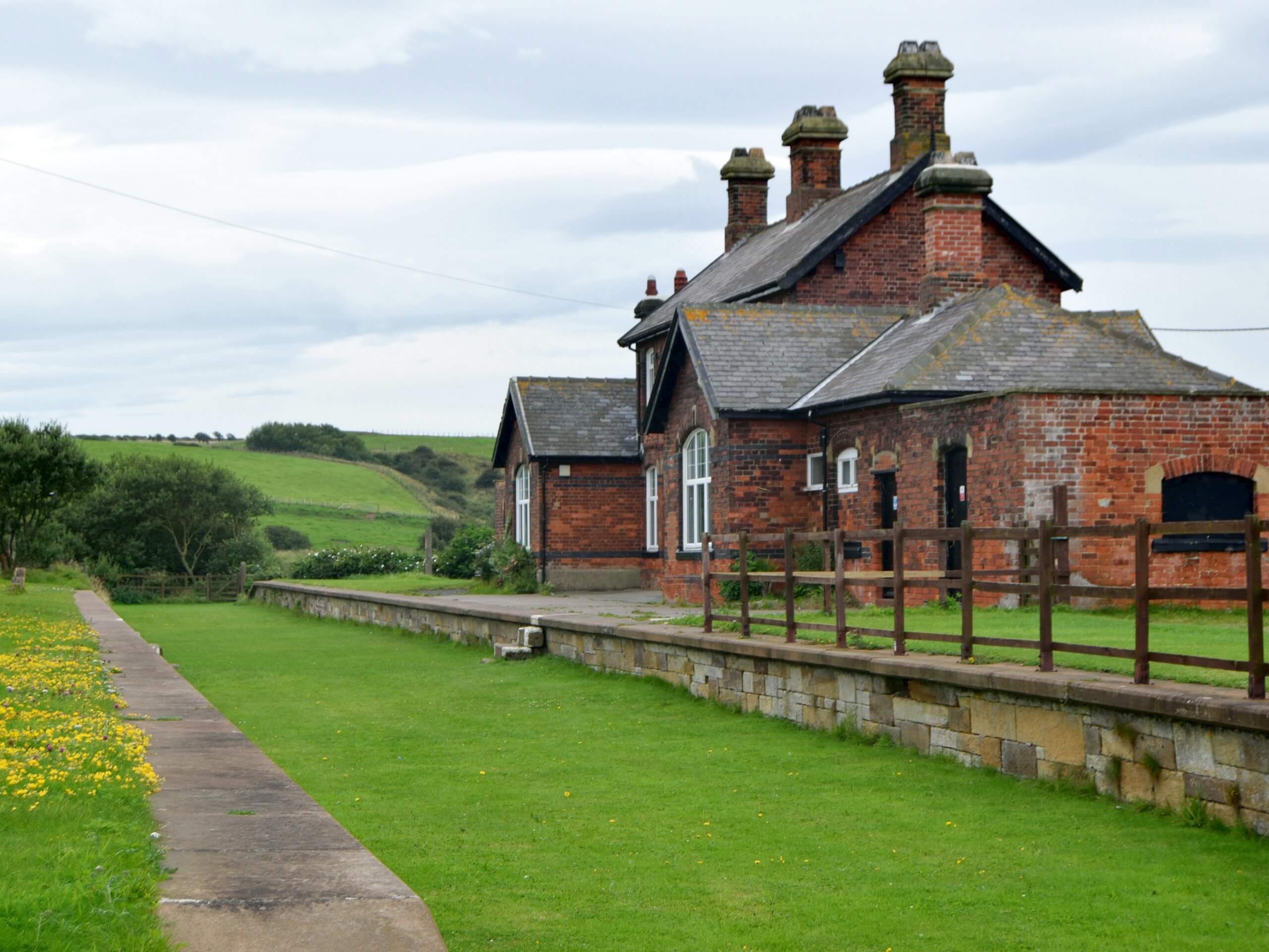
Lythe and Kettleness Circular Walk
Difficulty Rating:
Walking the Lythe and Kettleness Circular is a great adventure in the northeast corner of North York Moors National Park that features beautiful views of the countryside and coast. While out walking the trail, you will traverse picturesque swathes of farmland and walk along the rugged coastal terrain to take in some beautiful views of the North Sea. While this route isn’t overly challenging, some sections are poorly marked and can make navigation a bit tricky.
Getting there
The trailhead for the Lythe and Kettleness Circular Walk can be found in the village of Lythe next to the Lythe Cricket Club.

About
| Backcountry Campground | No |
| When to do | Year-Round |
| Pets allowed | Yes - On Leash |
| Family friendly | Older Children only |
| Route Signage | Poor |
| Crowd Levels | Low |
| Route Type | Circuit |
Lythe and Kettleness Circular Walk
Elevation Graph
Weather
Lythe and Kettleness Circular Walk Description
If you are after a pleasant walk that features a nice mixture of countryside and coastal views, then the Lythe and Kettleness Circular Walk will be a great adventure for you. Be sure to wear sturdy walking boots and keep your dog on a lead, as you will be traversing some open fields that will feature plenty of livestock!
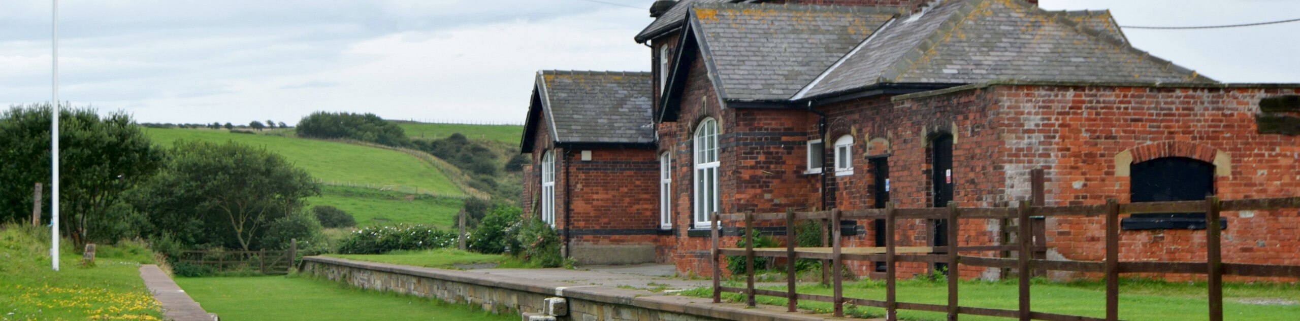
Setting out from the trailhead in Lythe, you will make your way to the southwest and pass through a beautiful stretch of woodland terrain on the way into East Barnaby, before turning to the northwest to traverse the open countryside. After making your way through a bit of forest with undulating terrain, you will meet up with the coast.
From here, you will head to the east and walk along the water’s edge, passing through the village of Kettleness while taking in the stunning views across the North Sea. Continue following along the rugged coastal terrain as the path turns to the southeast, where you will enjoy some more views over the water, including Whitby to the southeast as you make the return into Lythe where you began the walk.
Similar hikes to the Lythe and Kettleness Circular Walk hike

Kirkbymoorside and Gillamoor Walk
The Kirkbymoorside and Gillamoor Walk is a great outdoor excursion along the southern edge of North York Moors National Park…

Farndale Railway Walk to Blakey Ridge
The Farndale Railway Walk to Blakey Ridge is a lengthy but easy-going route that will allow you to experience the…

Botton and Blakey Ridge Circular Walk
The Botton and Blakey Ridge Circular Walk is a rugged and beautiful adventure that will allow you to experience the…
Comments