Florence Peak Trail
View Photos
Florence Peak Trail
Difficulty Rating:
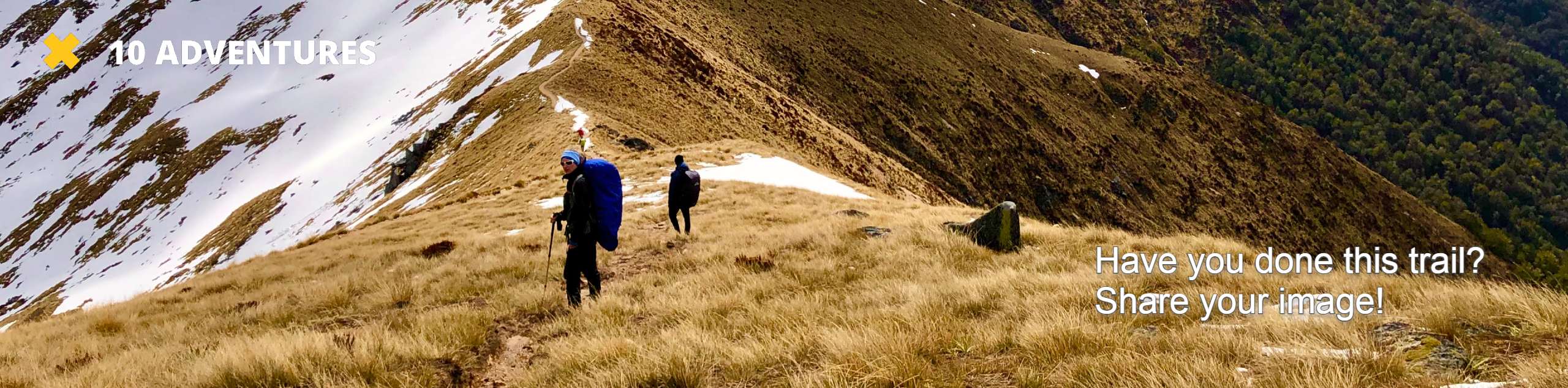
Florence Peak Trail is an 7.1mi lightly trafficked trail in Mount Rainier National Park that is considered challenging but offers great views. While you’re enjoying the view from the top, make sure to keep an eye on your GPS or map, as the trail becomes very easy to lose.
Getting there
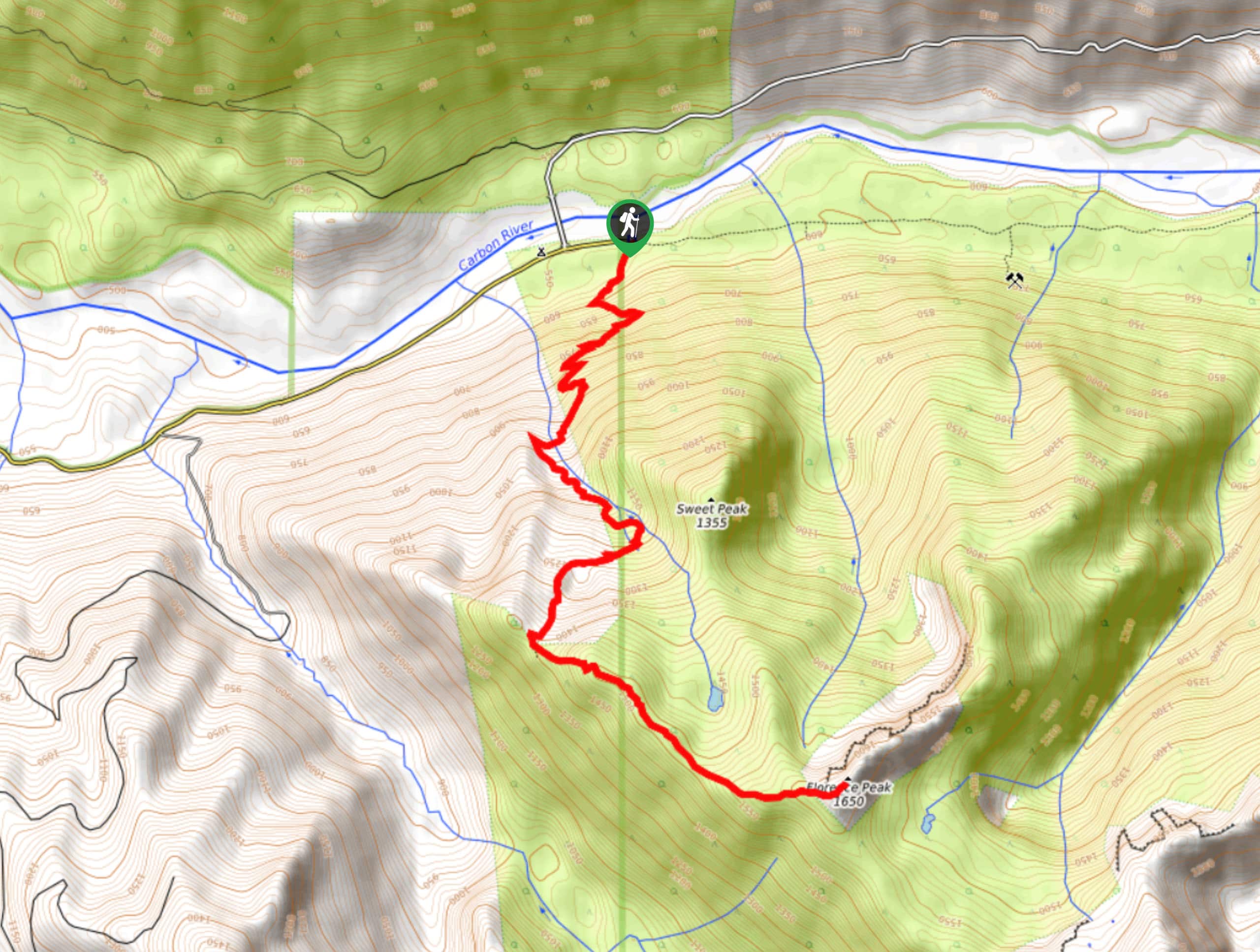
To reach the trailhead for the Florence Peak hike, take Fairfax Forest Reserve Road East to its eastern terminus at the Carbon River Dispersed Roadside Camping. The trail heads south from the end of the road.

About
| Backcountry Campground | No |
| When to do | June-October |
| Pets allowed | No |
| Family friendly | No |
| Route Signage | Average |
| Crowd Levels | Moderate |
| Route Type | Out and back |
Florence Peak Trail
Elevation Graph
Weather
Florence Peak Trail Description
The views from Florence Peak are splendid, but you’ll need to work to get to them. This steep, challenging hike will make you work for your reward, but it’ll be well worth it at the end. Just make sure you have GPS or a map at the peak, as the trail becomes very easy to lose.
Begin your hike from the end of Fairfax Forest Reserve Road East, heading directly south on Rainforest Loop Trail. You’ll meander through some wide switchbacks before picking up the pace on steeper switchbacks. Make three creek crossings as you climb, and then get into Florence Peak Trail where Boundary Trail terminates.
Make the final push to the summit, Taking care to remain on the right path. From the top, savour 360-degree views of Alki Crest, Howard Peak, Sweet Peak, and more. Carefully navigate off the peak and retrace your steps back to the trailhead.
Similar hikes to the Florence Peak Trail hike

Paul Peak Trail
The Paul Peak Trail is a 6.3mi lightly trafficked out and back trail in Mount Rainier National Park…

Narada Falls to Mazama Ridge Loop
The Narada Falls to Mazama Ridge loop is an 7.4mi moderately trafficked route in Mount Rainier National Park…

Camp Summerland via Wonderland Trail
The hike to Camp Summerland on the Wonderland Trail is a 8.4mi moderately trafficked out and back trail…
Comments