Knapsack Pass Hike
View Photos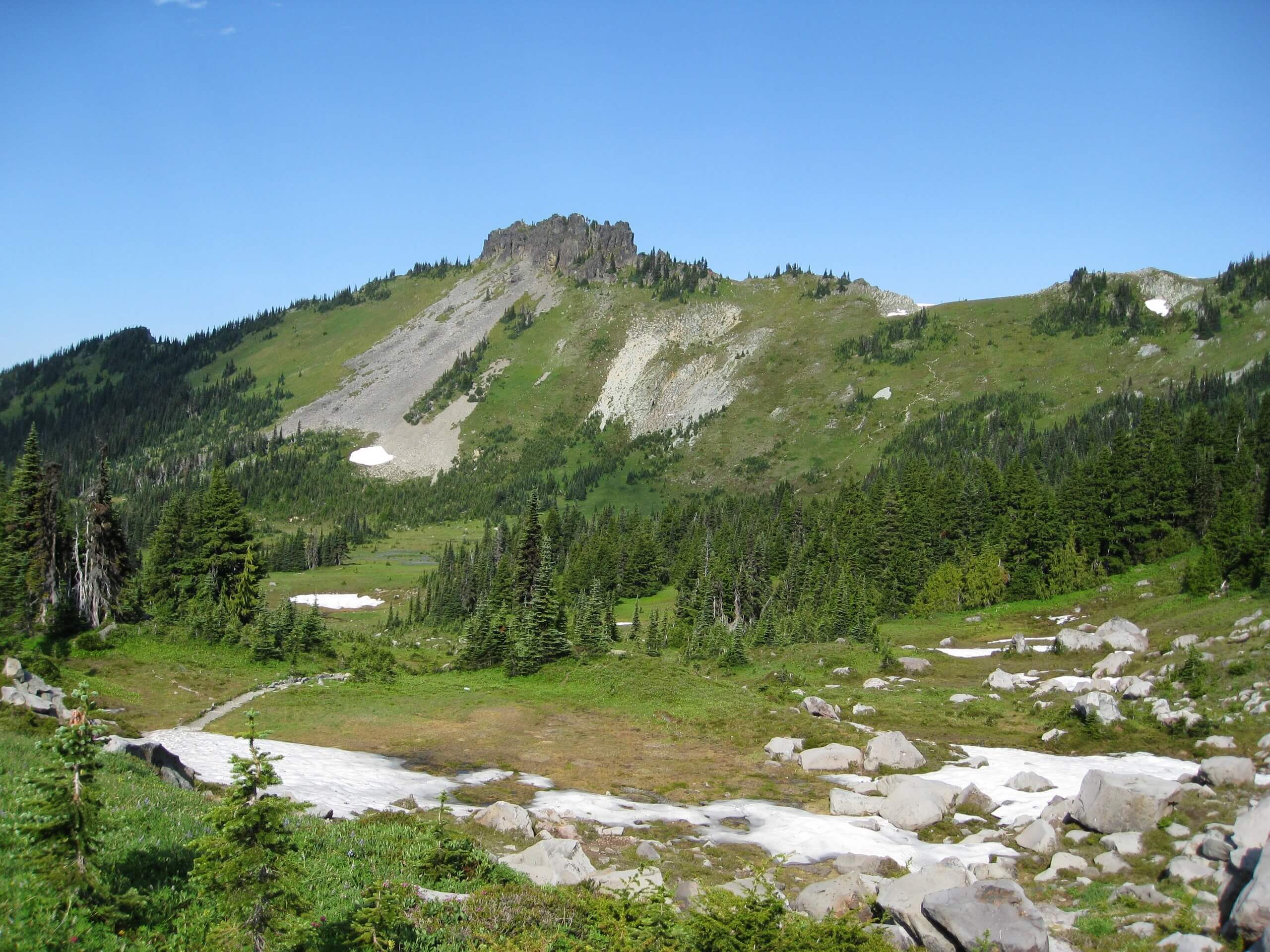
Knapsack Pass Hike
Difficulty Rating:
Knapsack Pass is a 2.9mi hike in Mount Rainier National Park. This trail is no longer maintained, so you’ll need to bushwhack a little for your views. This hike leads you to a viewpoint just underneath Mother Mountain. Bring GPS or a map to complete this hike.
Getting there
To reach the trailhead for the Knapsack Pass hike, drive east from Carbonado on State Route 410 and make a right onto Mowich Lake Road (which is in poor condition, consider bringing a high-clearance vehicle). Drive 17.0mi to the end of the road, where the trailhead can be found at the far end of the campground.

About
| Backcountry Campground | No |
| When to do | July-October |
| Pets allowed | No |
| Family friendly | No |
| Route Signage | Poor |
| Crowd Levels | Moderate |
| Route Type | Out and back |
Knapsack Pass Hike
Elevation Graph
Weather
Knapsack Pass Hike Description
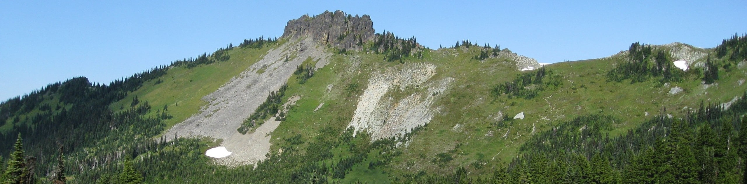
Knapsack Pass may not be maintained any longer, but it’s a pretty hike if you’re willing to take on a more natural trail. The hike begins from the end of the Mowich Lake Campground near the ranger cabin. Hike through the forest, passing over open rock slabs and scree in parts. The views of the valley are extensive here.
A small fork appears about a half-mile from Mowich Lake. Stay left here. The pass is underneath Mother Mountain, and once you’re finished enjoying it, carefully retrace your steps.
Similar hikes to the Knapsack Pass Hike hike

Paul Peak Trail
The Paul Peak Trail is a 6.3mi lightly trafficked out and back trail in Mount Rainier National Park…

Narada Falls to Mazama Ridge Loop
The Narada Falls to Mazama Ridge loop is an 7.4mi moderately trafficked route in Mount Rainier National Park…

Camp Summerland via Wonderland Trail
The hike to Camp Summerland on the Wonderland Trail is a 8.4mi moderately trafficked out and back trail…
Comments