

Camp Summerland via Wonderland Trail
View Photos
Camp Summerland via Wonderland Trail
Difficulty Rating:
The hike to Camp Summerland on the Wonderland Trail is a 8.4mi moderately trafficked out and back trail in Mount Rainier National Park that is rated as hard. This trail does have steep and tiring sections, but the beautiful views of the Cowlitz Chimneys, Tamanos Mountain, Goat Island Mountain, and Meany Crest make it very worth it. Bring lots of water and bug spray on this trail.
Getting there
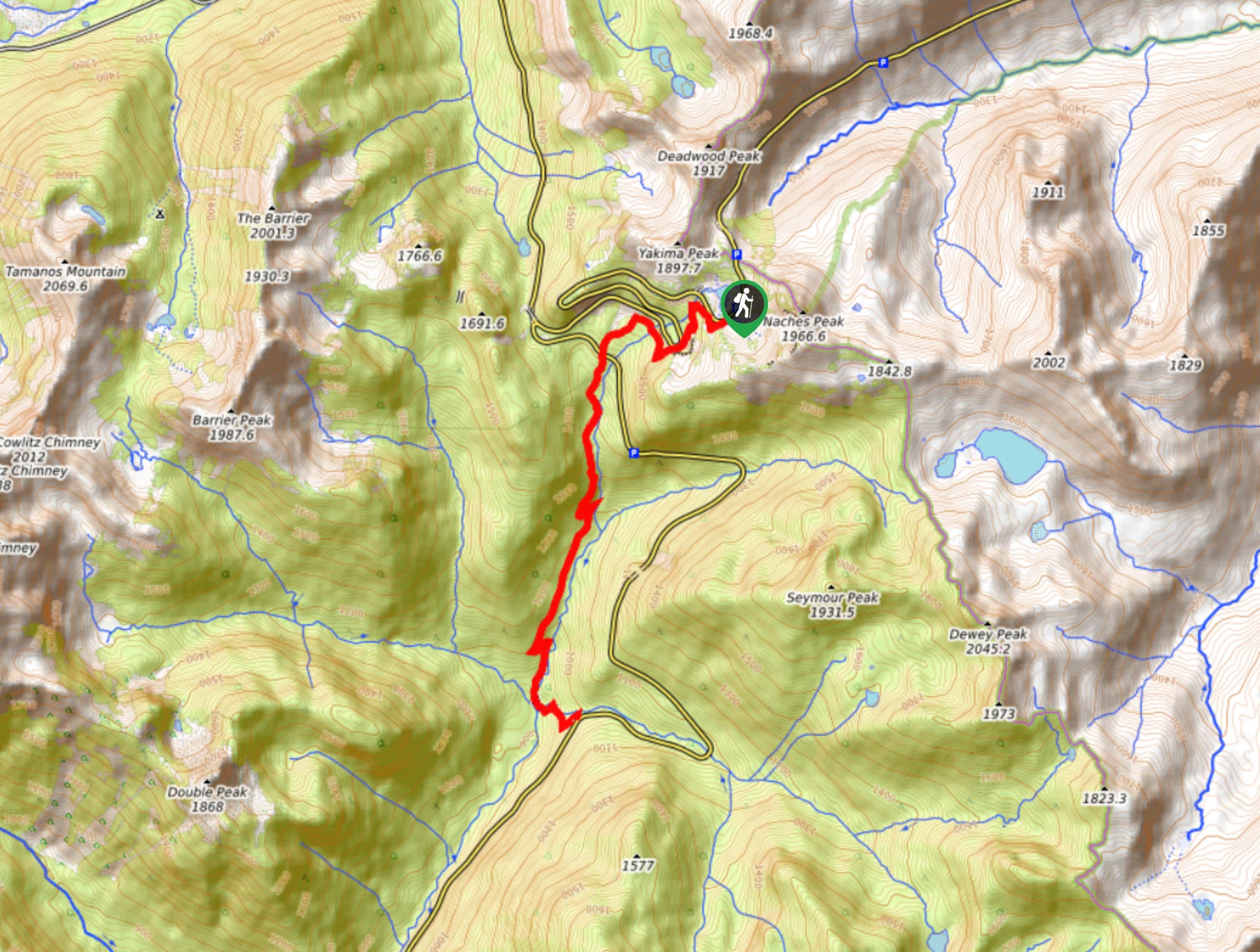
The trailhead for the Camp Summerland via Wonderland Trail hike is at the Summerland Trail start off Sunrise Park Road just south of the hairpin turns.

About
| Backcountry Campground | Camp Summerland |
| When to do | June-October |
| Pets allowed | No |
| Family friendly | No |
| Route Signage | None |
| Crowd Levels | Moderate |
| Route Type | Out and back |
Camp Summerland via Wonderland Trail
Elevation Graph
Weather
Camp Summerland via Wonderland Trail Description
Hiking to Camp Summerland on the Wonderland Trail is a classic Mount Rainier hiking experience, and this trail is an easy choice for those wanting to pack in the views on one must-do hike. It’s also a great way to access Camp Summerland for backpackers.
The trail begins at the Summerland Trail starting point, following Wonderland along Fryingpan Creek. Take on a few switchbacks, cross the creek, and then push through more switchbacks to the camp. The final push is a challenging one, but your scenic rest at Camp Summerland will be well-deserved. Retrace your steps to return to the parking area.
Similar hikes to the Camp Summerland via Wonderland Trail hike

Paul Peak Trail
The Paul Peak Trail is a 6.3mi lightly trafficked out and back trail in Mount Rainier National Park…

Narada Falls to Mazama Ridge Loop
The Narada Falls to Mazama Ridge loop is an 7.4mi moderately trafficked route in Mount Rainier National Park…
Eastside Trail to Deer Creek Camp
The Eastside Trail is a 8.8mi lightly trafficked trail in Mount Rainier National Park that provides access to…
Comments