Emmons Moraine Trail
View Photos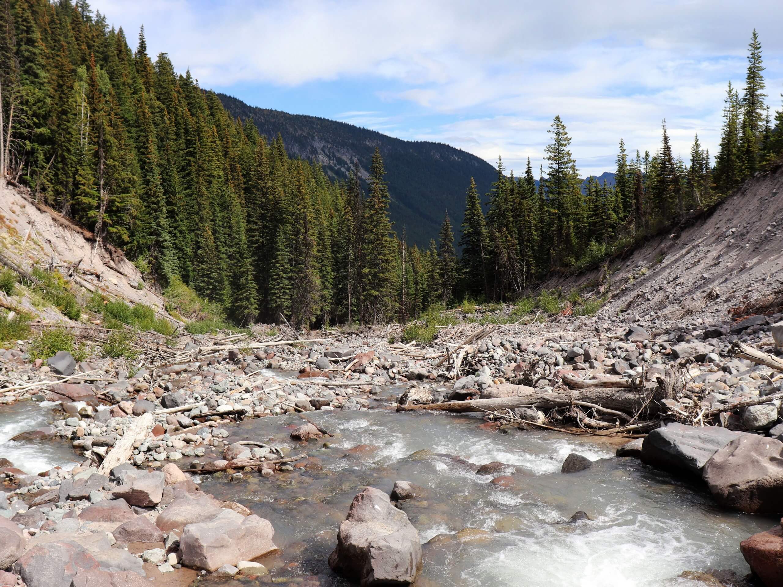
Emmons Moraine Trail
Difficulty Rating:
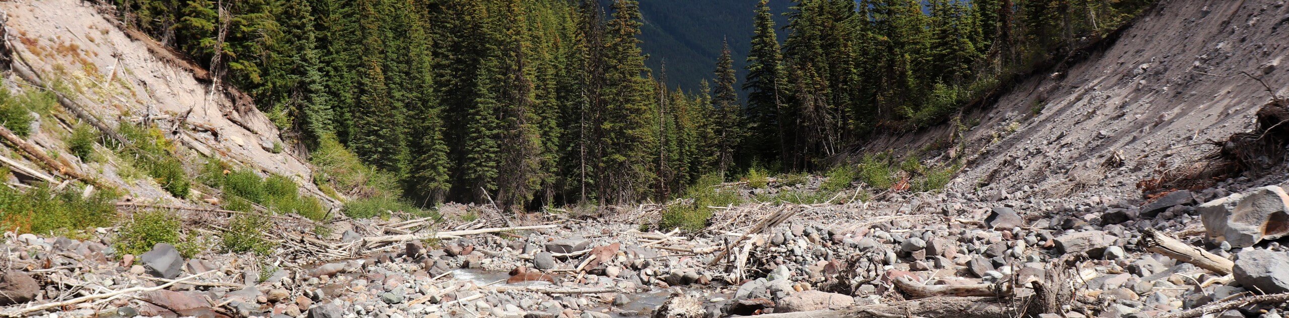
The Emmons Moraine Trail is a 6.6mi moderately trafficked trail in Mount Rainier National Park that is rated as moderate. Mount Rainier has the largest single-peak glacier system in the contiguous United States, and this hike gives you an intimate view of one of them. Enjoy excellent views of Mount Rainier’s Emmons Glacier without too much effort required. Bring bug spray and sunscreen for this one.
Getting there
To get to the trailhead for the Emmons Moraine Trail from Enumclaw, drive east on State Route 410 to the White River entrance to the park. Continue on Sunrise Park Road for 5.3mi to the White River Campground, where you’ll turn left and park in the climber’s parking lot.

About
| Backcountry Campground | No |
| When to do | May-November |
| Pets allowed | No |
| Family friendly | Older Children only |
| Route Signage | Average |
| Crowd Levels | High |
| Route Type | Out and back |
Emmons Moraine Trail
Elevation Graph
Weather
Emmons Moraine Trail Description
The Emmons Moraine Trail is a deep-dive into one of Mount Rainier’s 24 glaciers. This pretty trail is moderately difficult but offers excellent payoff in terms of the effort required.
The trail starts at the Glacier Basin Trailhead. Climb gradually through the forest, passing a small waterfall. At 1 mile, a spur trail heads to the left to cross the Inter Fork on a lot. Continue half a mile on the moraine, reaching the viewpoint for Emmons Glacier. You can see by the carved valley how far the glacier has retreated, and a turquoise lake catches the runoff.
Similar hikes to the Emmons Moraine Trail hike

Paul Peak Trail
The Paul Peak Trail is a 6.3mi lightly trafficked out and back trail in Mount Rainier National Park…

Narada Falls to Mazama Ridge Loop
The Narada Falls to Mazama Ridge loop is an 7.4mi moderately trafficked route in Mount Rainier National Park…

Camp Summerland via Wonderland Trail
The hike to Camp Summerland on the Wonderland Trail is a 8.4mi moderately trafficked out and back trail…
Comments