Friesenberghaus & Olpererhütte Hike
View Photos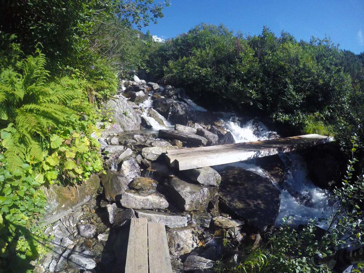
Friesenberghaus & Olpererhütte Hike
Difficulty Rating:
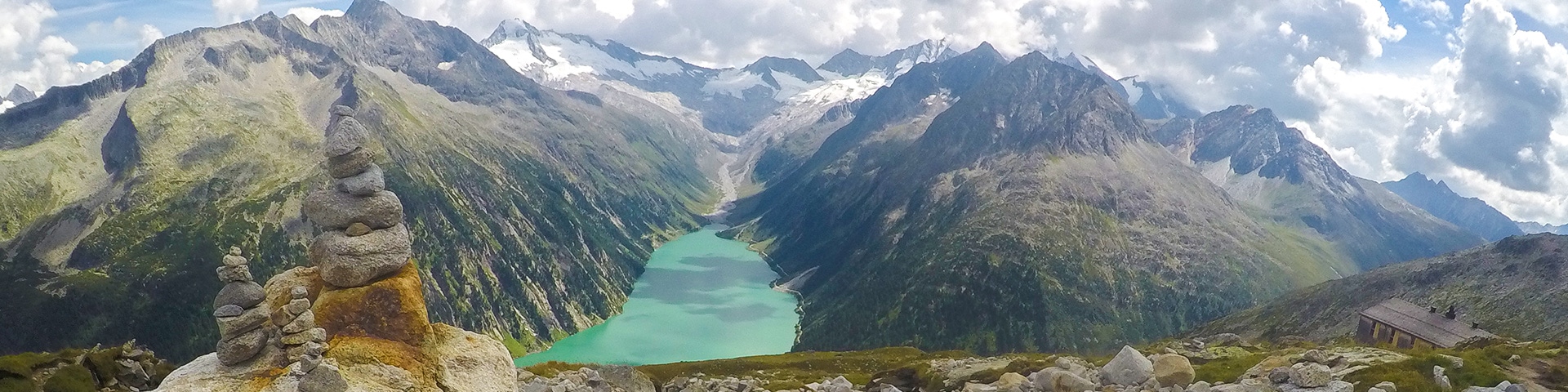
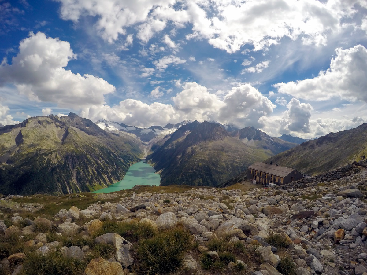
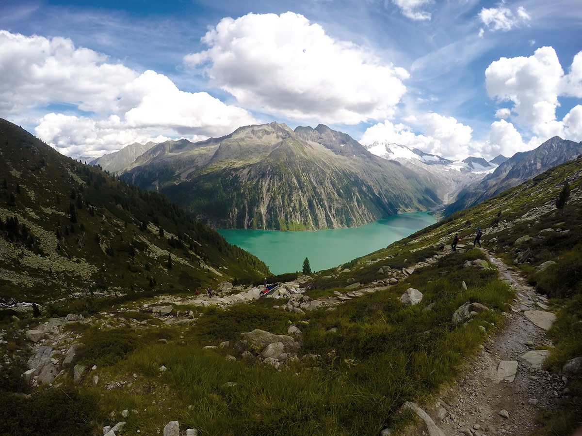
The Friesenberghaus & Olpererhütte hike provides breathtaking views over Schlegeis reservoir. Views of steep and exposed mountains also make this hike something really special. At the famous Olpererhütte, you can take awe-inspiring pictures from the small bridge.
Getting there
From Mayrhofen head out on Highway B169, following the sign to Ginzling. In Ginzling, keep right to Schlegeis Speicher. The toll fee is approximately €12.

About
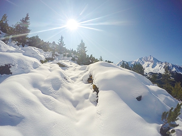
| When to do | June to October |
| Backcountry Campsites | No |
| Toilets | Yes, at the reservoir and at the alps |
| Family friendly | No |
| Route Signage | Good |
| Crowd Levels | High |
| Route Type | Loop |
Friesenberghaus & Olpererhütte Hike
Elevation Graph
Weather
Route Description for Friesenberghaus & Olpererhütte Hike
Start the hike at the front part of the parking lot. There is a good restaurant here if you need a last minute snack.
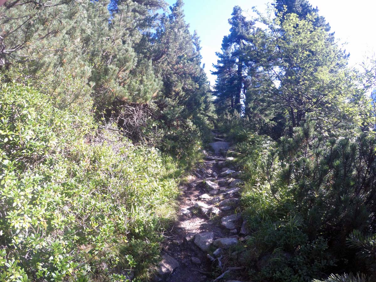
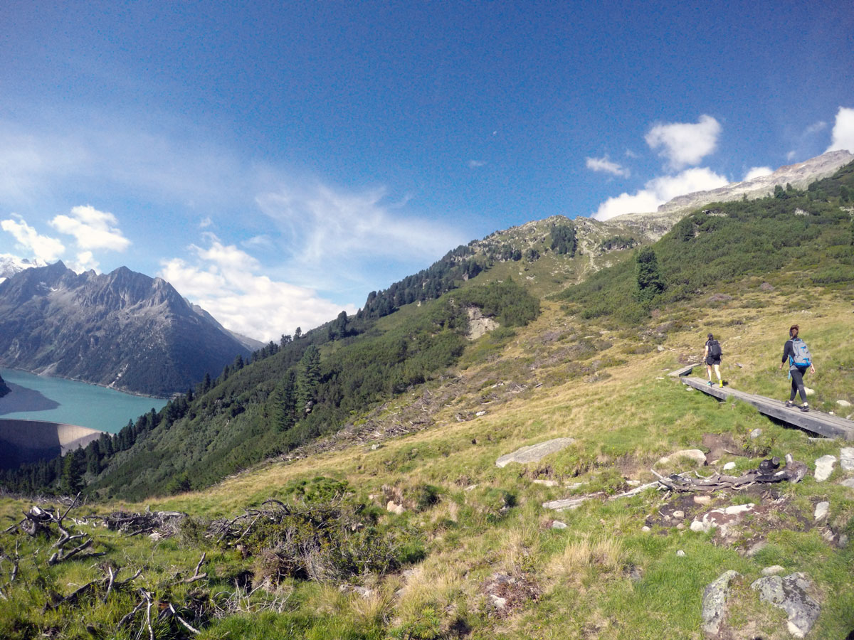
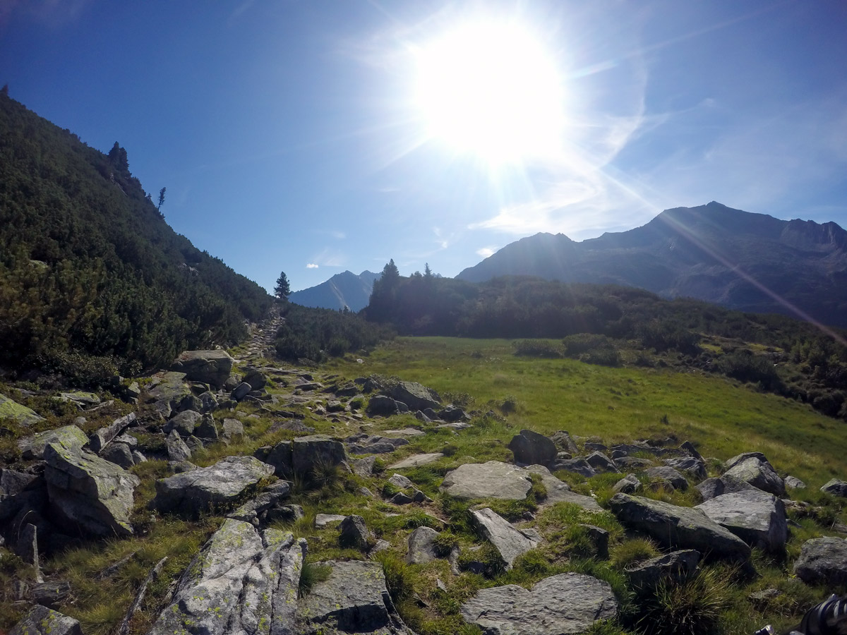
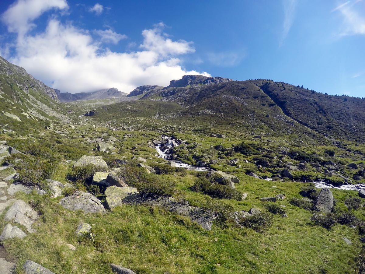
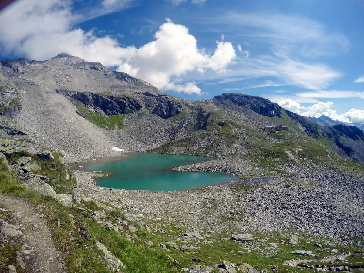
The first stop in todays trip is heading for the wonderful Friesenberghaus. The path leads from the parking lot, heading north, taking you through pine tree woods. You get an awesome view over the reservoir as you leave the woods behind you. You will pass a new, small private hut and will see the alp early on as soon as you are around a mountain corner.
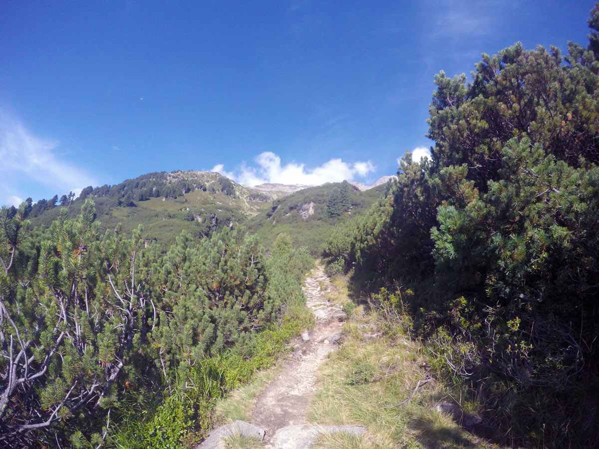
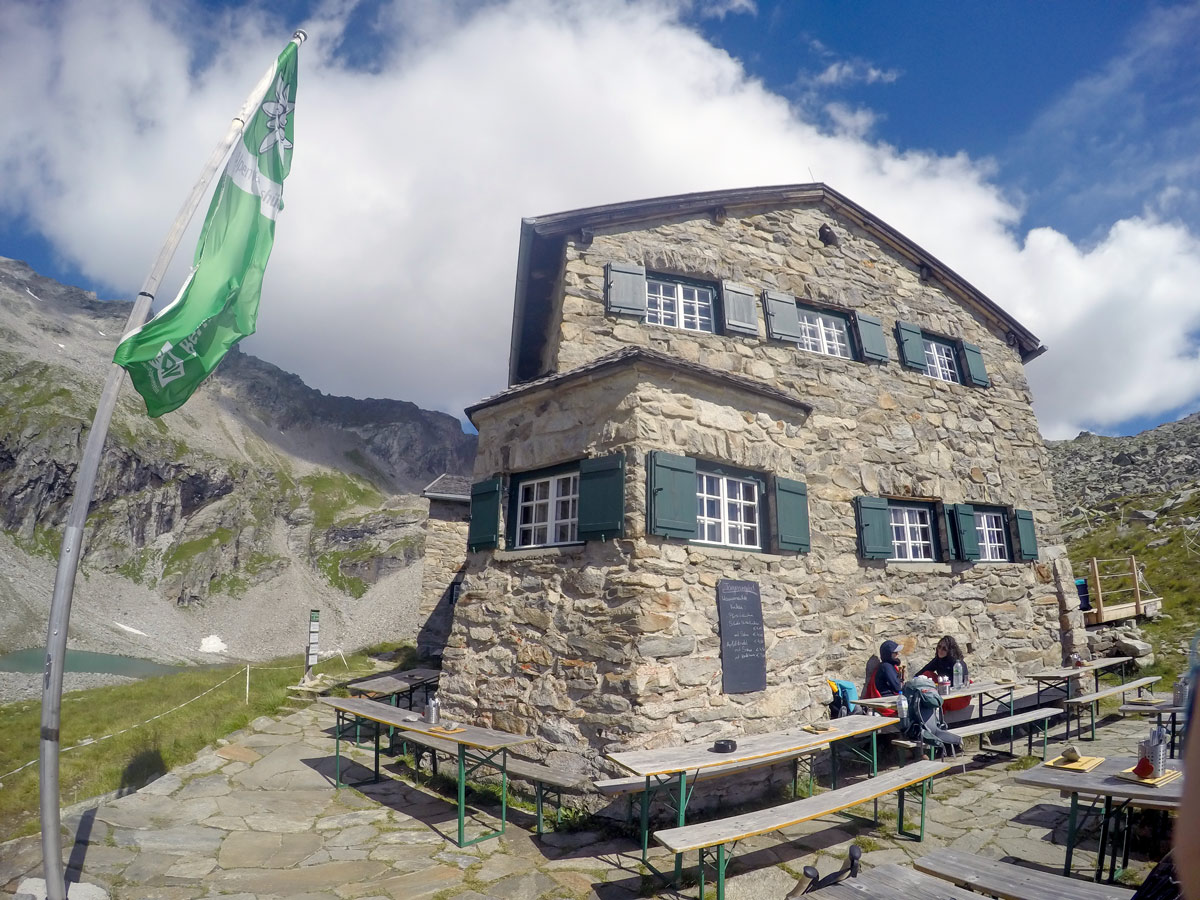
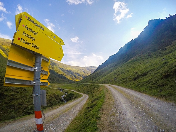
Further over the meadows, colorful signs lead the way up to Friesenberghaus, located above a small lake. It usually takes between 2 and 2.5 hours to reach this point. This is a charming mountain hut, with good food, and makes a great base for a night in the mountains.
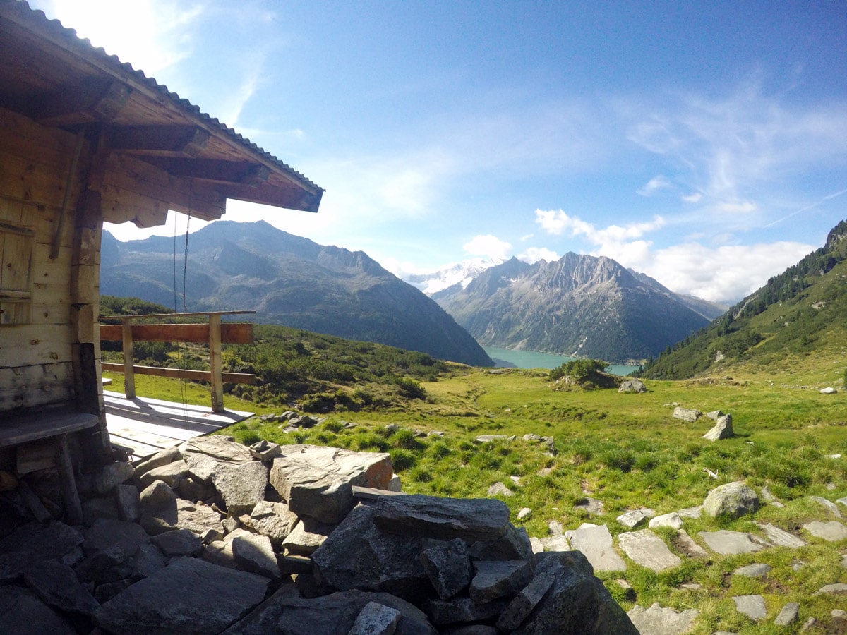
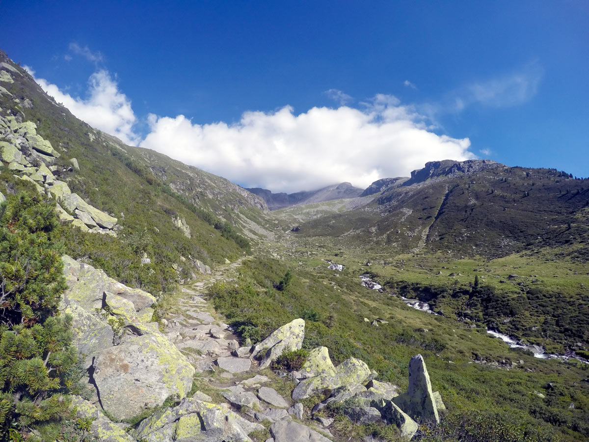
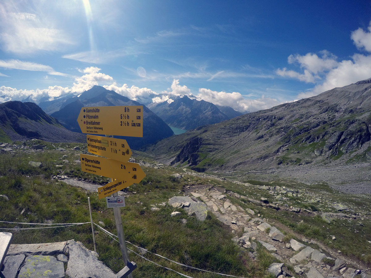
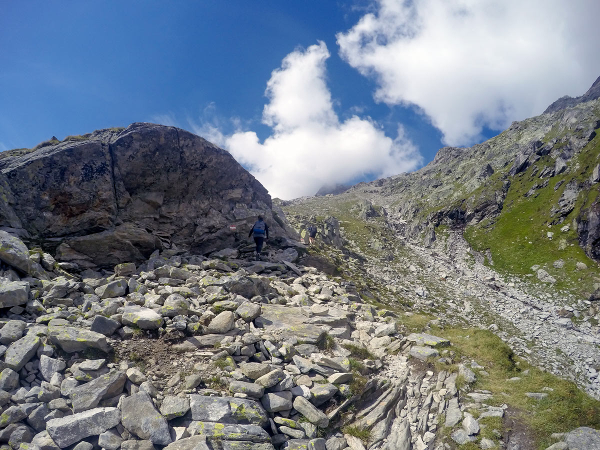
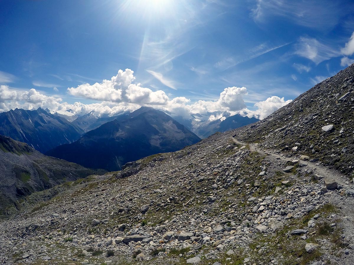
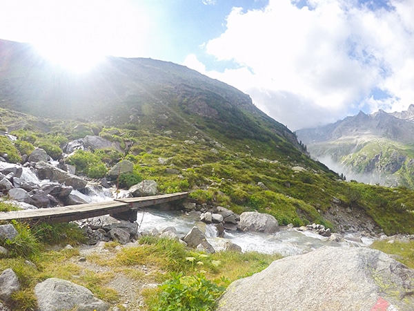
While many return after a trip to Friesenberghaus, we recommend making a tour of this, and continuing to Olpererhütte, roughly 2 hours of walking away. The route goes down to Friesenbergsee and then steeply up to 8629ft. Keep left at the next yellow sign and continue by following the trail around the mountain until you reach the small bridge (Kebema Panoramabrücke) where everyone is taking pictures. Now you are just a few minutes away from the Olpererhütte.
The Olpererhütte is another outstanding mountain hut, great for a night out in the mountains. Definitely stop for lunch and a break here, the views are spectacular!
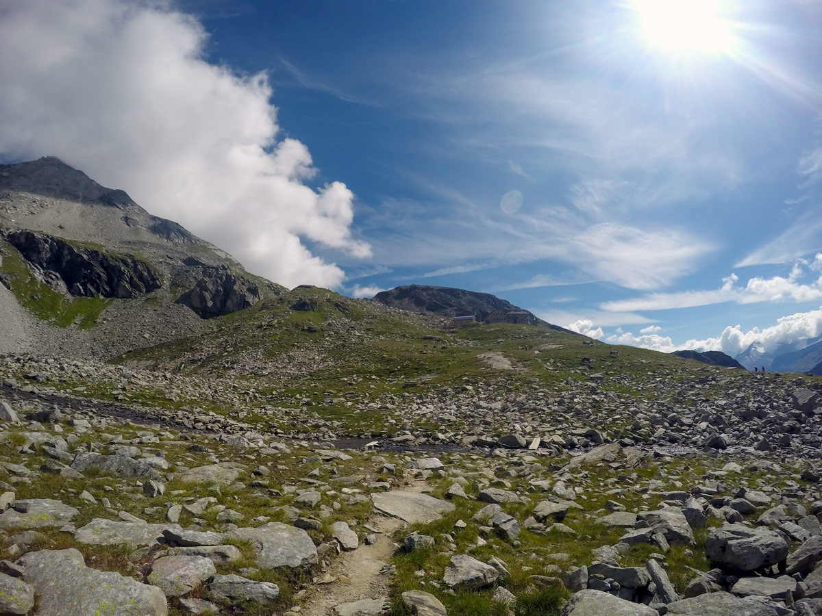
After taking a break and enjoying the scenery, hike down past the Olpererhütte follow the trail as it goes to the right and then goes left, all the way back to Schlegeis Speicher. Once you reach a road by the water, go left to get back to the parking lot.
Insider Hints
Have a nice break to get some energy at Friesenberghaus. It is also a great place to spend the night in the Austrian Alps.
Definitely take a picture at the Kebema Panoramabrücke bridge with the reservoir in the back.
If you want, you can hang something on the steel heart – usually either a lock or a wristband.
The food is delicious at the Olpererhütte. You should take a break here and have a great lunch with an awesome view.
If you want to cut down on km, you can also hike up Olpererhütte from the reservoir and go back the same way. It is about a 1.5 h hike up there and yellow signs are all over the place to guide you.
Click the link to find out more about hiking the Austrian Alps.

Similar hikes to the Friesenberghaus & Olpererhütte Hike hike
Themenwanderung Bergmähderweg Hike
This stunning hike starts with a great view of the Zillertal Alps. Along the Themenwanderung Bergmähderweg, you will cross several…
Plauener Hütte Hike
The Plauener Hutte route is a stunning hike near Mayrhofen that has it all including incredible views of mountains and…
Kleiner Gilfert Hike
The hike up to Kleiner Gilfert is a great, gentle hike starting with a wide path that spreads almost all…
Udo Huber 4 years ago
Great hike with breathtaking view of the Austrian Alps and the Schlegeis reservois.
Audrey Osullivan 4 years ago
A fantastic trip to the mountains
Andrea R 4 years ago
Great views and great food
Edmund D. 4 years ago
Love this hike! Kebema Panoramabrücke bridge is breathtaking with all the locks.
Jamie Parker 4 years ago
Unbelievable views! Schlegeis reservoir is one of a kind!
Yuyu Kishimoto 5 years ago
The best part is the water reservoir. Really easy to find this little trail.
Rixy Lily 5 years ago
The beginning of the hike was not that beautiful at all, but surely the views will get better as you go further.
John Anchor 5 years ago
It's quite hard, but wonderful. Highly recommended!
Jhamie A. 5 years ago
It was a pleasant hike that requires a little effort. It's worth doing. Lots of great views at the top.
Wakata Shirai 5 years ago
This is an amazing hike! Bring sandwiches and find a spot at the mountain hut for a celebratory meal before heading back down.