Ahornspitze Hike
View Photos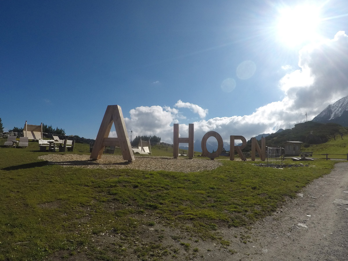
Ahornspitze Hike
Difficulty Rating:
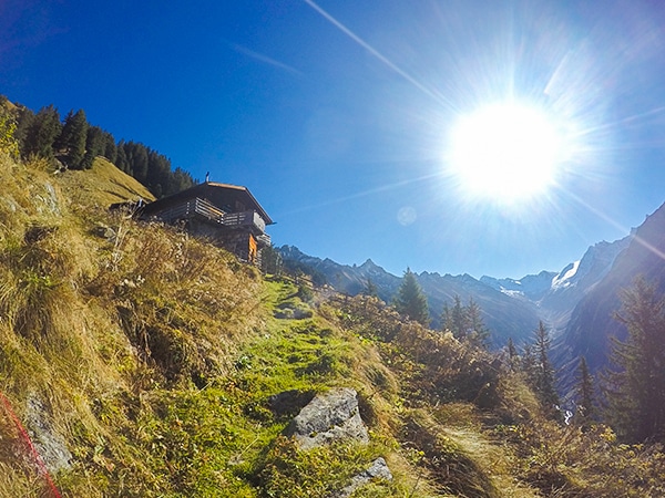
The Ahornspitze hike is spectacular! The trail begins at the top of the Ahornbahn lift, which you take from Mayrhofen. The hike takes you high in the mountains and gently increases in height up to Edelweißhütte. From there, the trail gets more and more exposed towards the last few kilometres before gaining the summit of Ahornspitze.
Getting there
The start of this hike is in Mayrhofen, at the Ahornbahn gondola station. There is parking at the Ahornbahn station in the center of town.

About
| When to do | August to October |
| Backcountry Campsites | No |
| Toilets | Yes, at the lift station and at Edelweißhütte |
| Family friendly | No |
| Route Signage | Good |
| Crowd Levels | Moderate |
| Route Type | Out and back |
Ahornspitze Hike
Elevation Graph
Weather
Route Description for Ahornspitze Hike
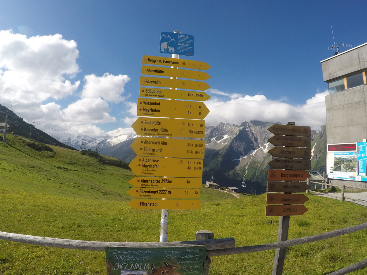
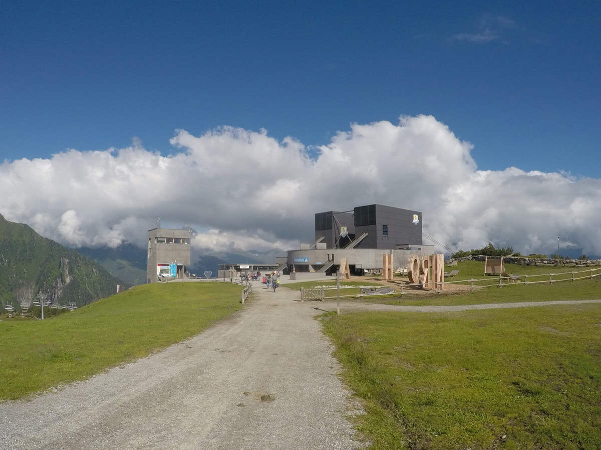
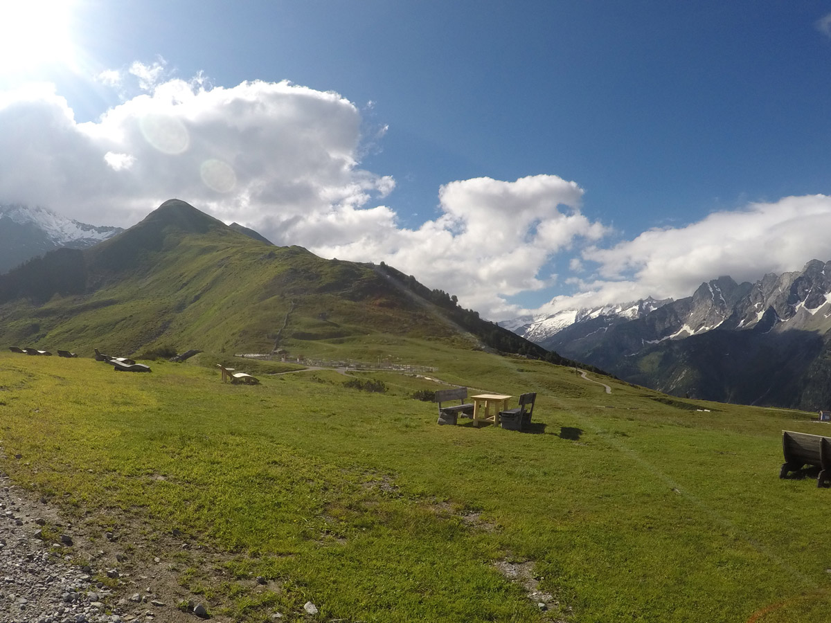
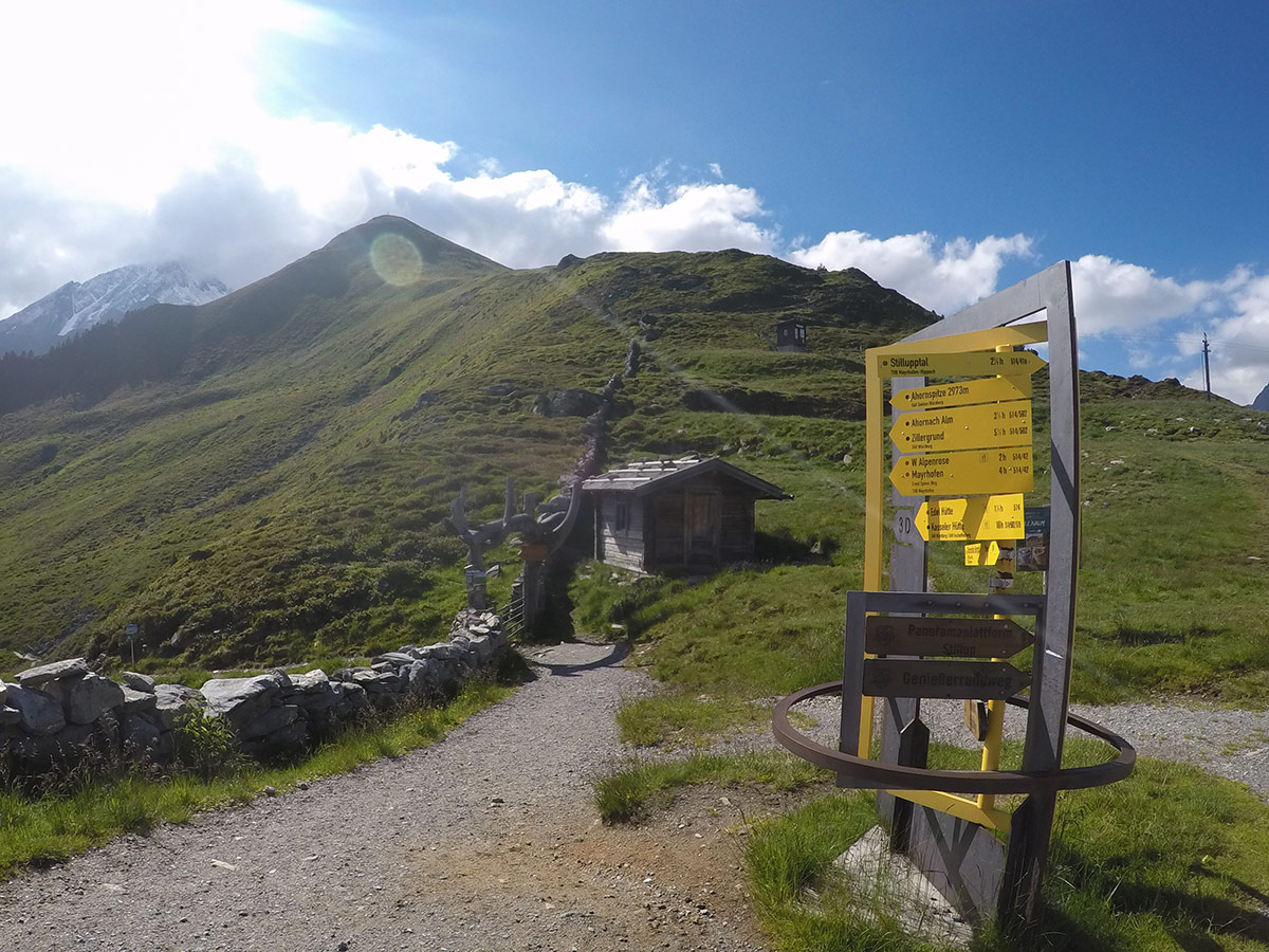
Take the Ahornbahn lift up and follow the signs located straight ahead when you get out of the lift to Edelweißhütte/Ahornspitze.
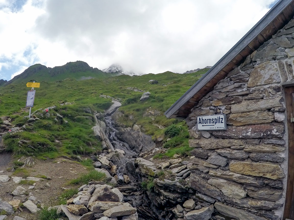
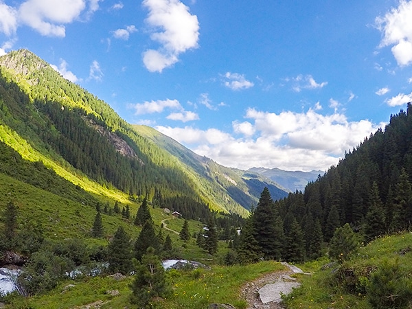
Walk around the little lake and use the gate to your left to get on the trail. The trail continues and goes over a small rise, before coming down to cross a mountain stream and then passes a stable.
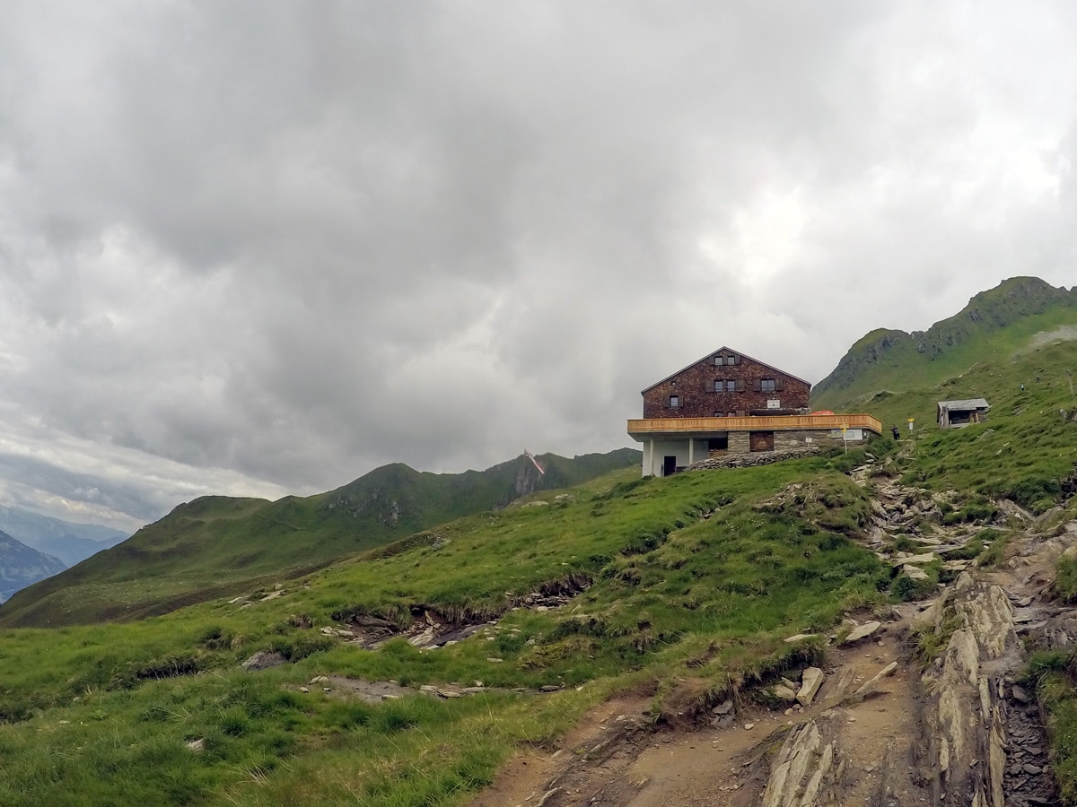
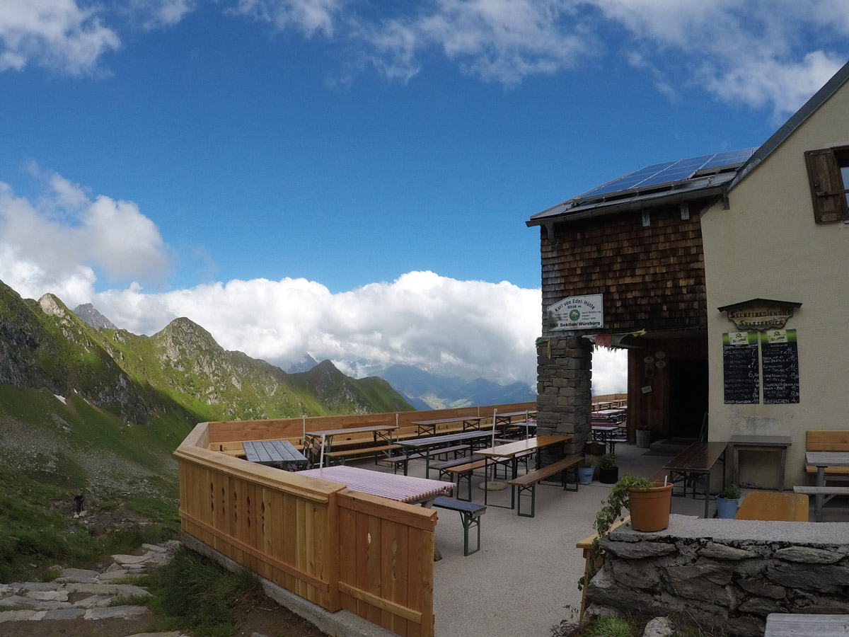
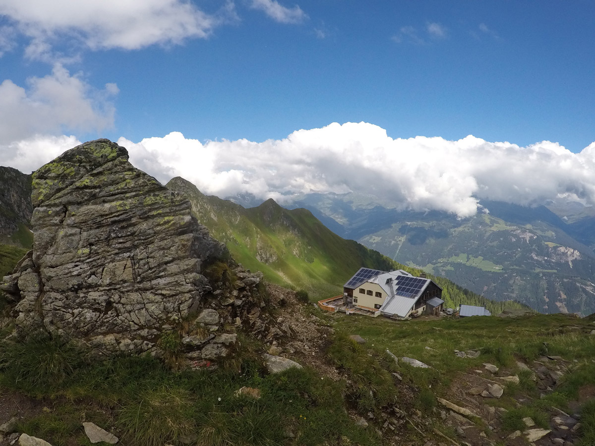
From the stable the path increases in height and heads towards the Edelweißhütte. It usually takes 1-1.5 hours to reach Edelhütte, a good place to stop for a bite, they have a pretty good schnitzel. It can be pretty busy on weekends here.
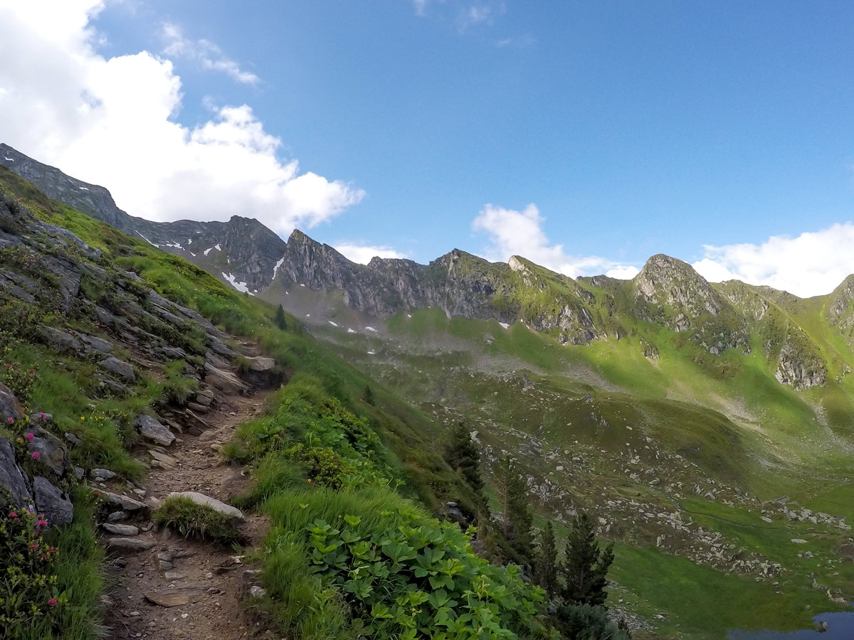
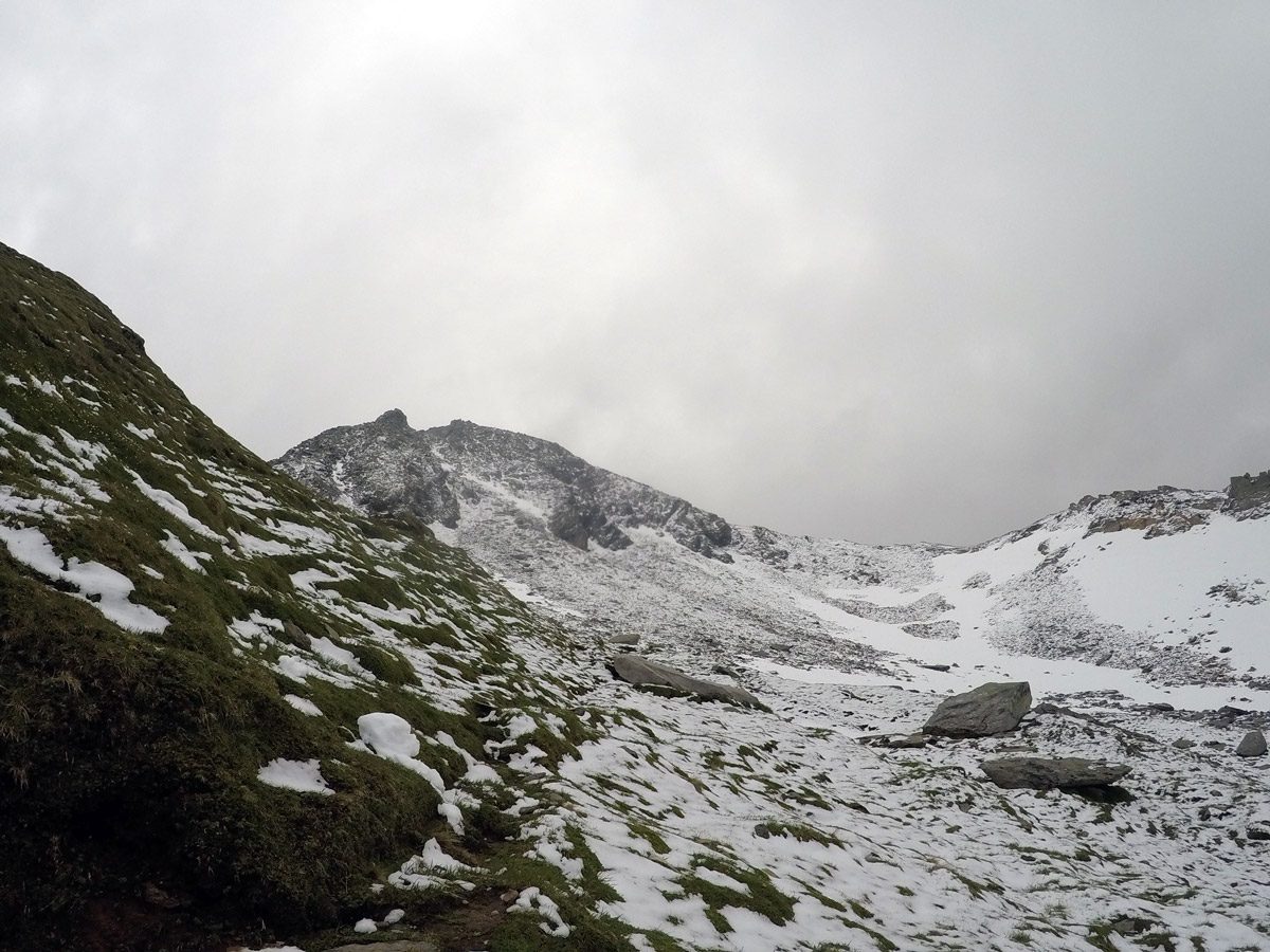
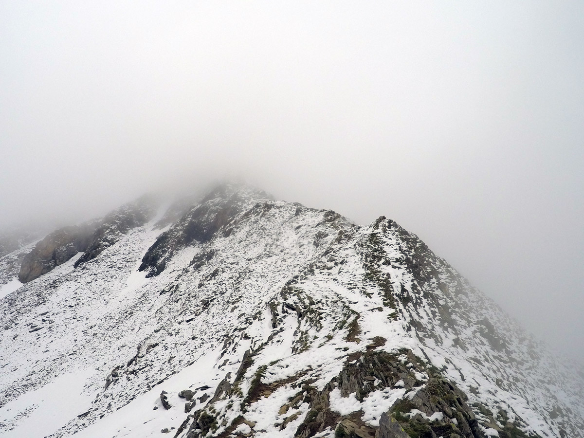
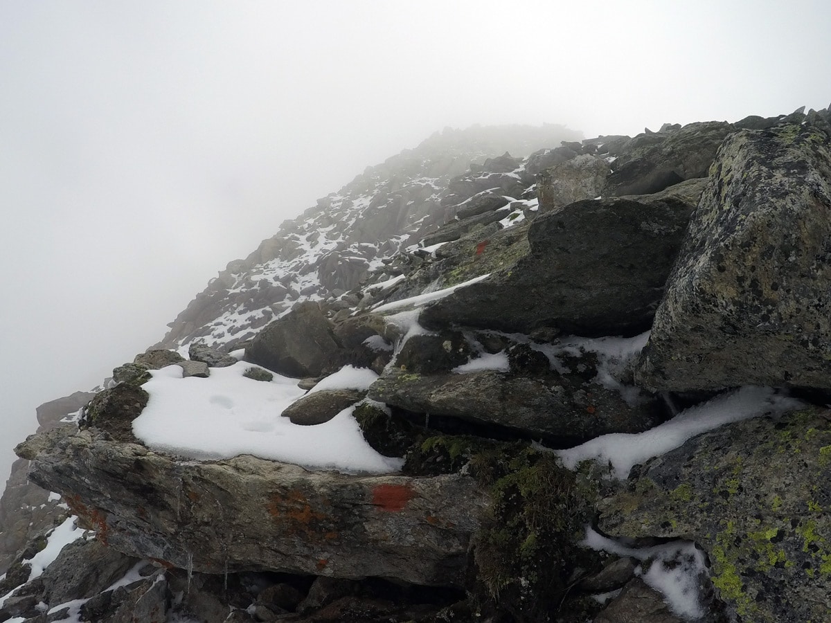
From Edelhütte, walk up the well-marked path to the plateau. When you arrive at a field of rocks, you are already in front of the Ahornspitze. Keep an eye out for either round red marks or red and white stripes on the ground and follow them up the right-hand side of Ahornspitze.
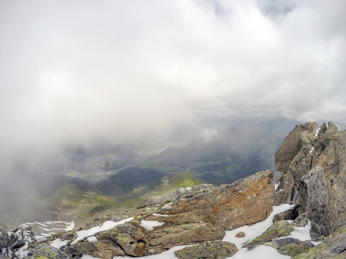
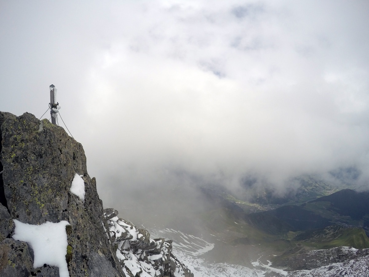
When you get to the shoulder of Ahornspitze, the hike gets much steeper. This is a great view and many hikers stop here, not wanting to do the final, more challenging push to the actual summit.
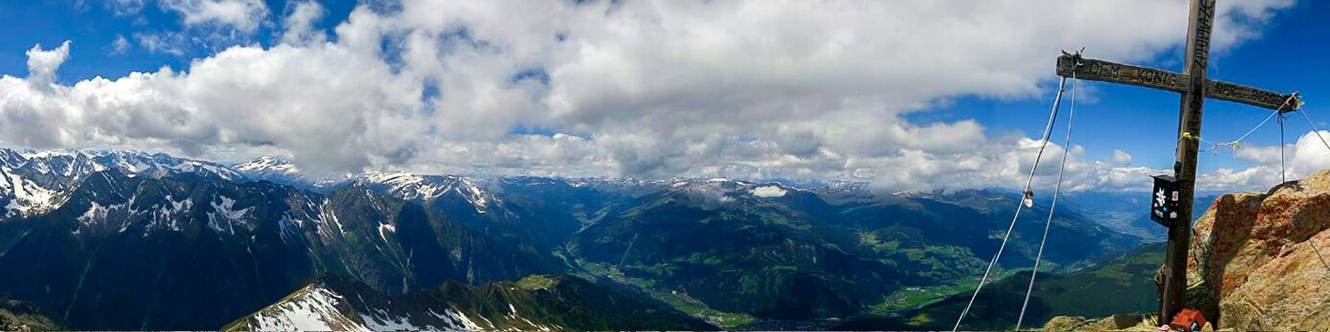
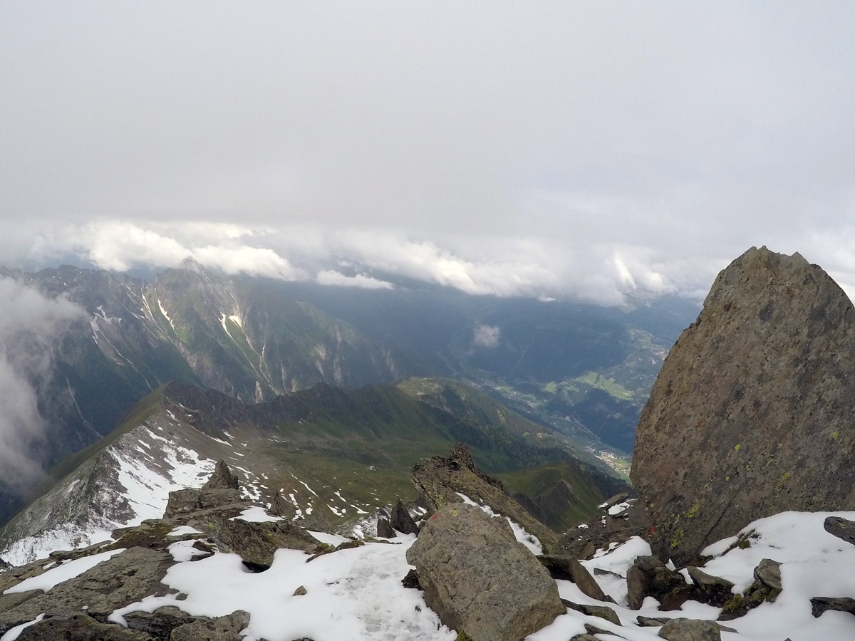
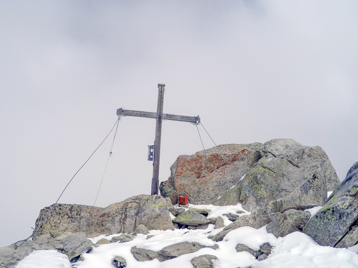
If you want to get to the summit of Ahornspitze, then follow the path up along the red points. You will climb over boulders and before you know it, you’ll be near the summit. Take a sharp left at the top, where you reach the south summit of Ahornspitze. From here, you can see the cross nearby.
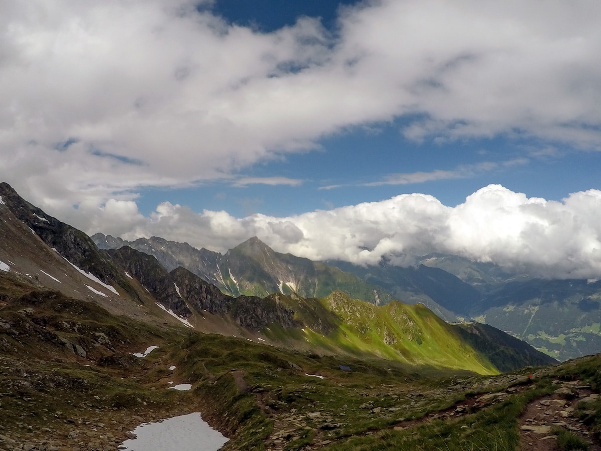
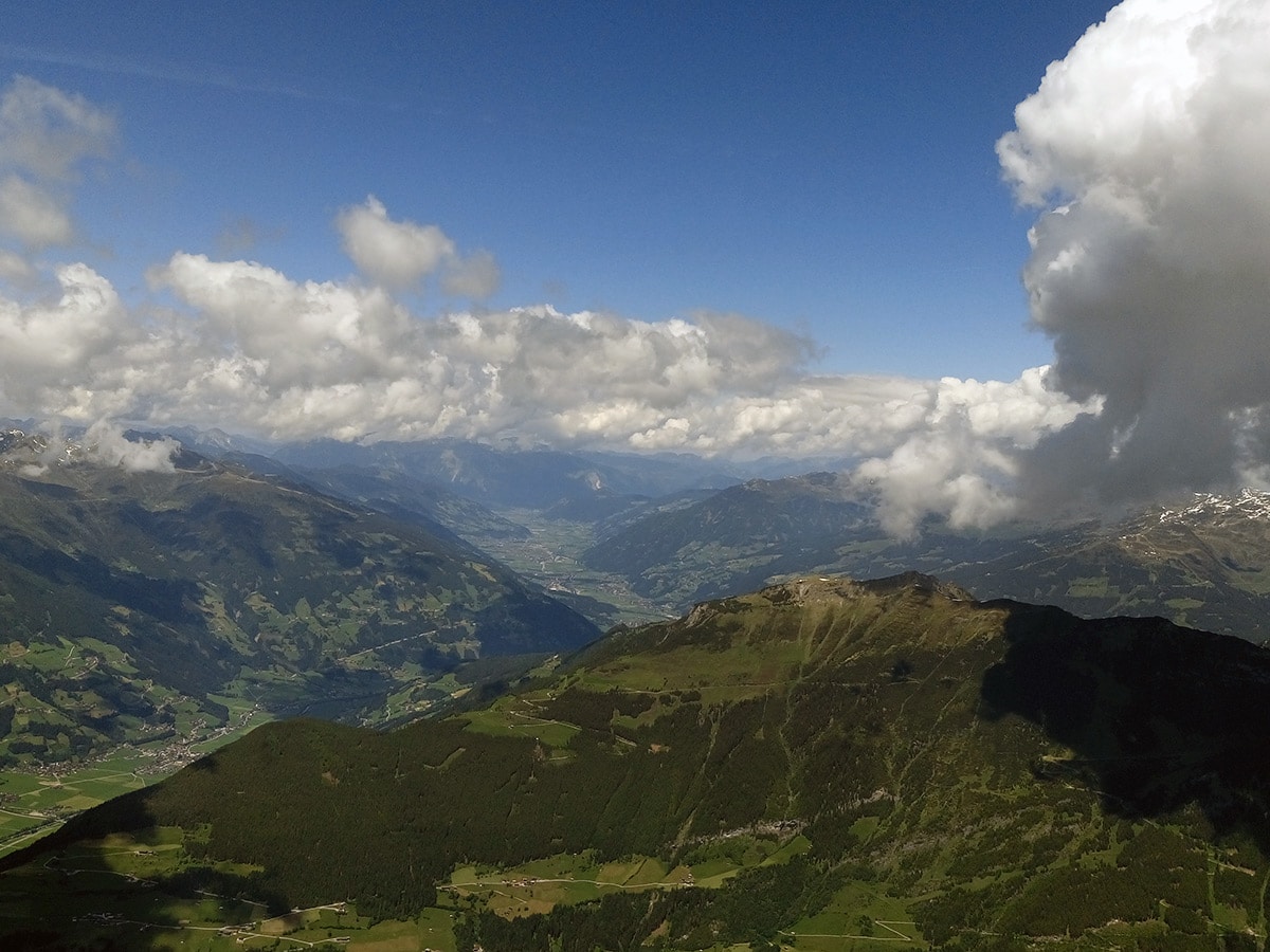
The views from the top of Ahornspitze are spectacular. Spend some time here, then begin the careful descent back to Edelhütte and then back to Ahornbahn and a gondola ride back into Mayrhofen.
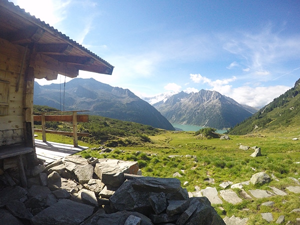
Our route shows an alternate return from Edelhütte, it is a nice way to take in more of the scenery.
Insider Hints
Have a little chat with the owner or servers at Edelweißhütte about the conditions at the Ahornspitze. They might have some tips for you.
Have a meal at the Edelweißhütte after getting down from Ahornspitze.
Start early and watch your time to ensure you catch the last lift ride back down to Mayrhofen. Check lift times before you start. Note that in the summer they do offer a Hiker’s Gondola that starts an hour earlier, allowing you more time to complete your hike.
If you are not an advanced hiker, consider just hiking to Edelweißhütte, as this makes for a perfect family day.
Click the link to find out more about hiking the Austrian Alps.

Similar hikes to the Ahornspitze Hike hike
Tristner Hike
Steep! Adventurous! Rewarding! Getting to the summit of Tristner provides you with the most incredible view over the Zillertal; it…
Zittauer Hütte Hike
The hike to Zittauer Hütte offers a moderate hike for both the young and old. There is lots to see…
Friesenberghaus & Olpererhütte Hike
The Friesenberghaus & Olpererhütte hike provides breathtaking views over Schlegeis reservoir. Views of steep and exposed mountains also make this…
Udo Huber 4 years ago
Challenging hike as you go up the trail. Spectacular scenery at the peak.
Jakob F. 4 years ago
Beautiful mountain. Everything is wonderful! It was a great day
Kamil Blajak 4 years ago
Nice lovely hiking and a fantastic panorama
Jamie Parker 4 years ago
Glad we went early and we were able to catch a lift. It was very convenient.
Francesco D. 4 years ago
ahornspitzeAhornspitze is a great place for walking and some of the most beautiful scenery and walks
Francesco D. 4 years ago
There are plenty of walks around Mayrhofen for all abilities, Lots of sensational views
Tom Zugberg 4 years ago
Great mountain, great views. However, a strenuous climb
Jhamie A. 5 years ago
It's a great hike even though the elevation is high, the trail was pretty gentle, unlike other hikes in the park.
Adrian Cruz 5 years ago
This hike poses some challenges. It's a great workout, but can be too exhausting for beginners.
Erika Svenn 5 years ago
Pleasant hike with well-marked trails. Just keep your eyes open for the round red marks and white stripes. Follow them, and you won't get lost.