Zittauer Hütte Hike
View Photos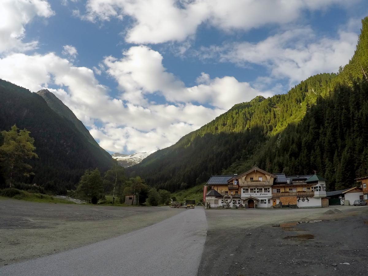
Zittauer Hütte Hike
Difficulty Rating:
The hike to Zittauer Hütte offers a moderate hike for both the young and old. There is lots to see on this route as it is located next to an almost faded glacier; enjoy the beautiful lake, and stunning mountain views.
Getting there
From Mayrhofen follow B169 towards Zell am Ziller and take the exit for B165. Stay on this road as it passes the holiday destination Gerlos with all the lift stations and continue on the street. Watch out for a big sign at an intersection saying “Zittauerhütte” and take that turn before the toll station. Continue on this side road to Finkau and park in front of the restaurant (5€ per day).

About
| When to do | June to September |
| Backcountry Campsites | No |
| Toilets | At parking lot and Zittauerhütte |
| Family friendly | Older Children only |
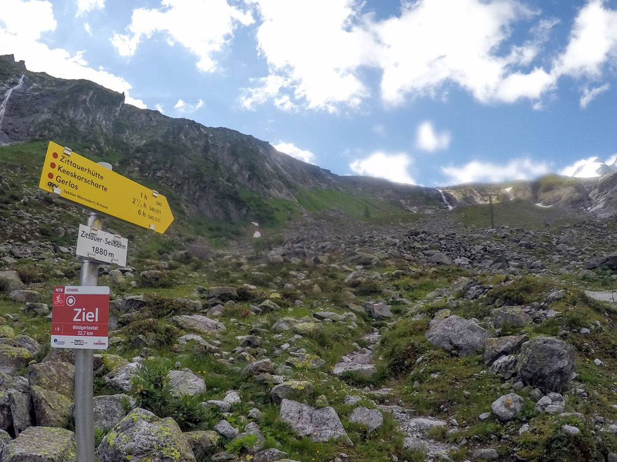
| Route Signage | Good |
| Crowd Levels | High |
| Route Type | Out and back |
Zittauer Hütte Hike
Elevation Graph
Weather
Route Description for Zittauer Hütte Hike
The starting point for the wonderful hike to Zittauer Hütte can be found at the restaurant Finkau.
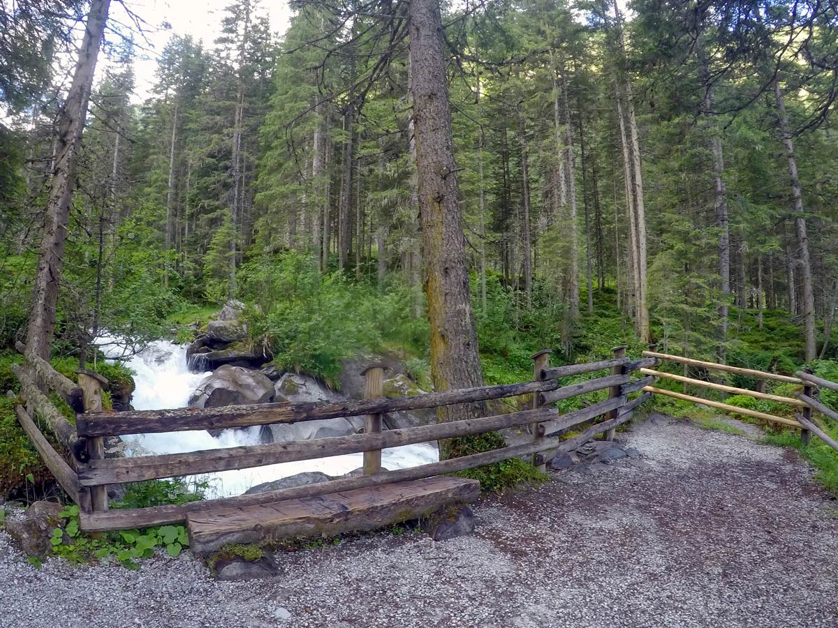
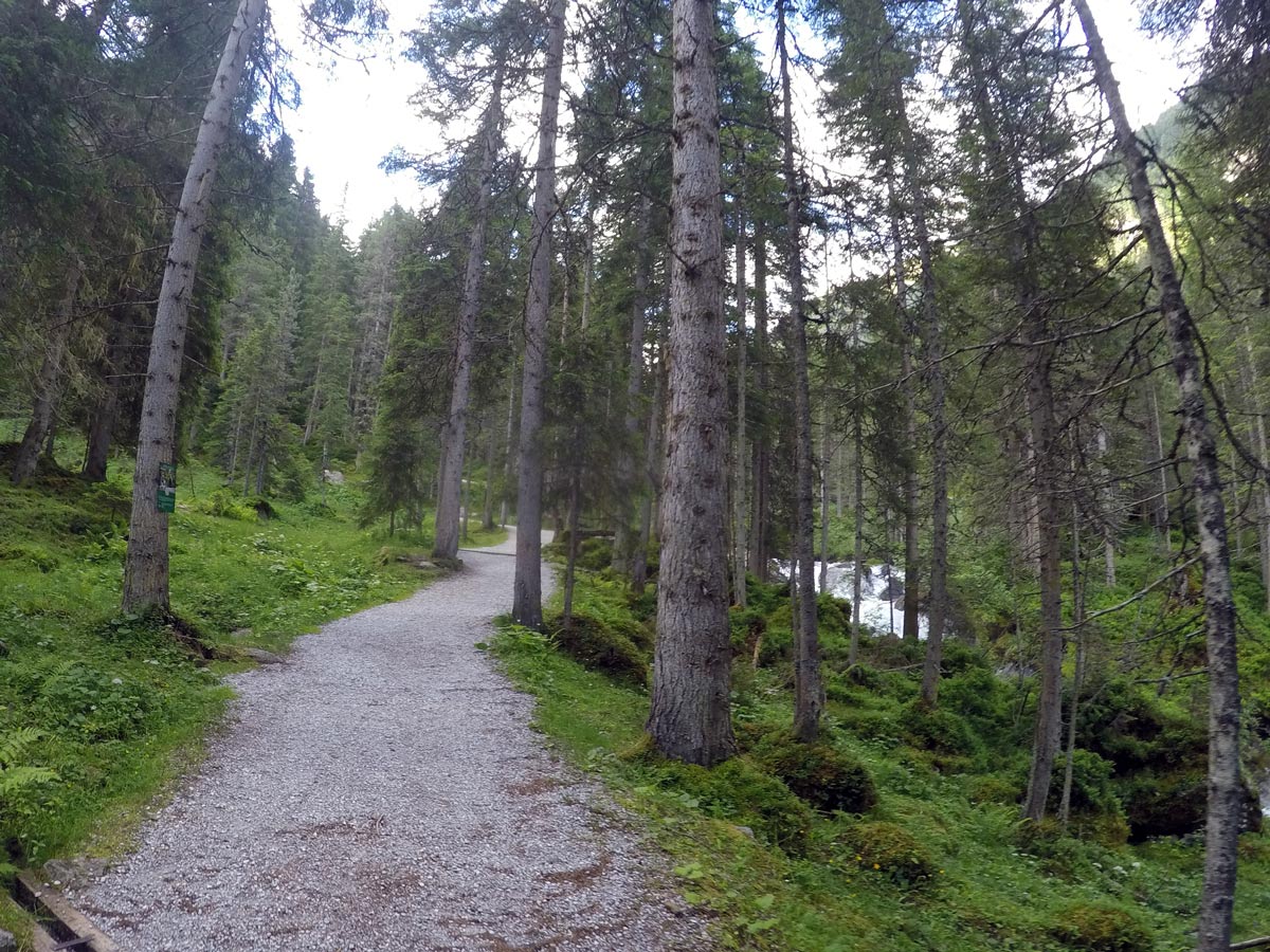
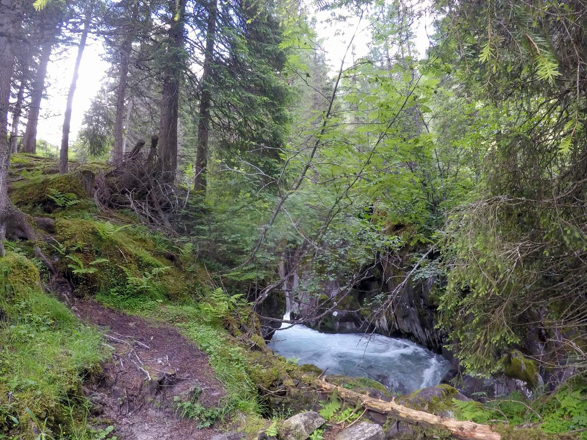
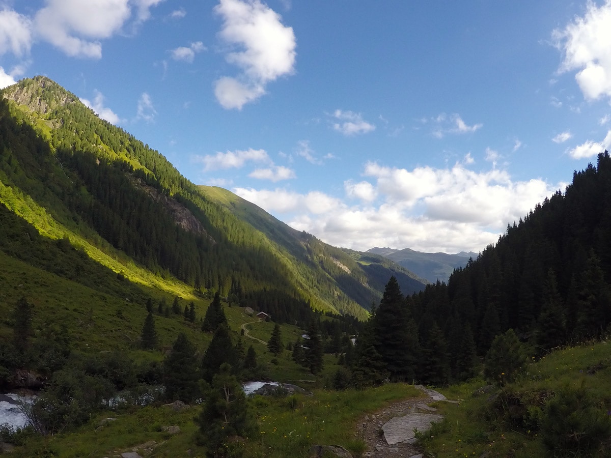
From here, the gravel road goes south, leading you into the woods where you can choose between the wider bike road or the narrow walking path.
If you take the walking path, continue your hike next to the wild stream; this feels amazing on hot summer days.
Along the way, there are some steeper shortcuts through the woods that are all labelled with yellow signs if you want to gain altitude faster.
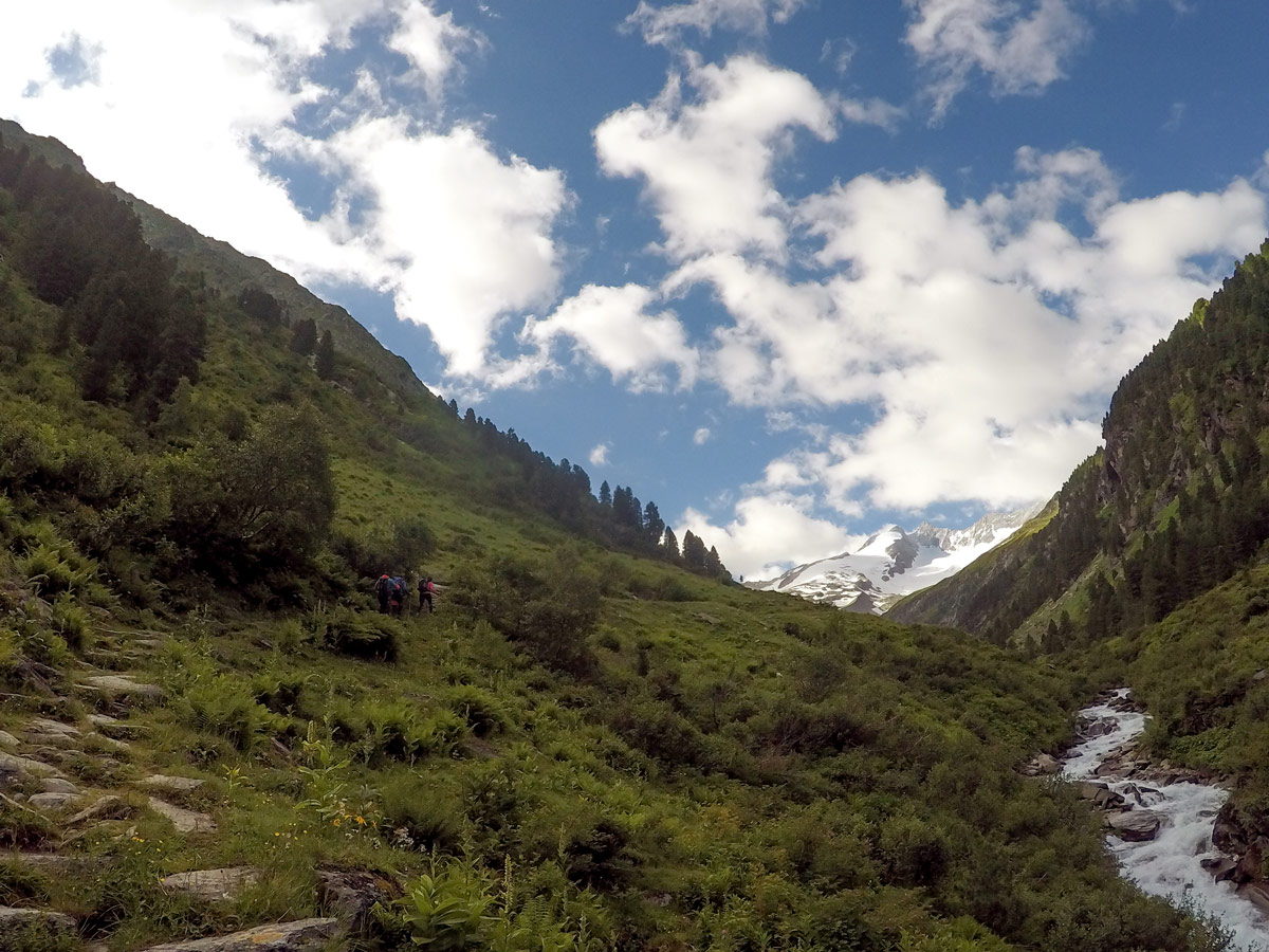
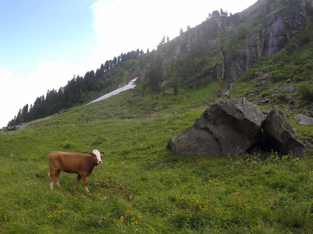
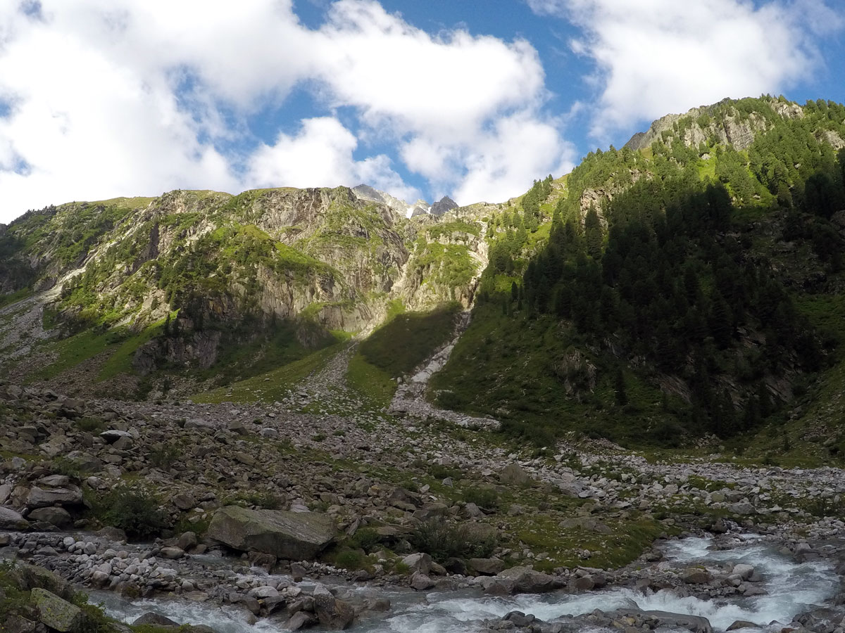
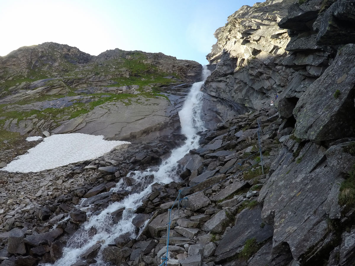
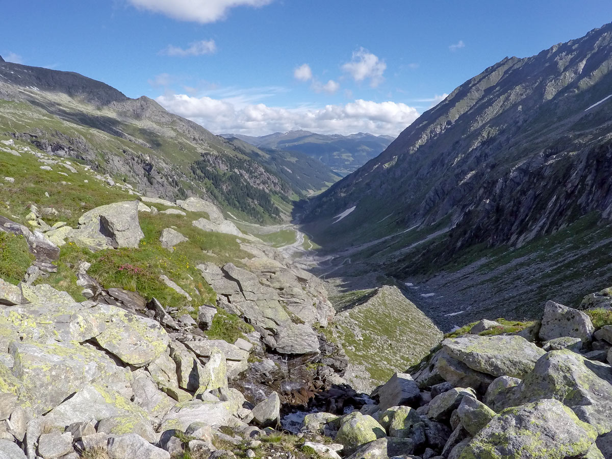
Passing the Trisslalm, enjoy the free-roaming cows and watch the glacier as it sparkles through the backdrop of the woods as you get closer to the small, steep hiking path.
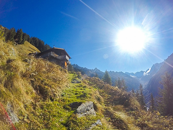
On the stairs made out of wood and stone, you can easily get up to Zittauer Hütte in quick time.
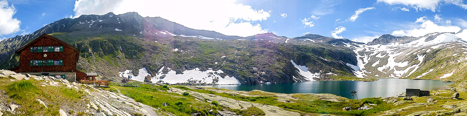
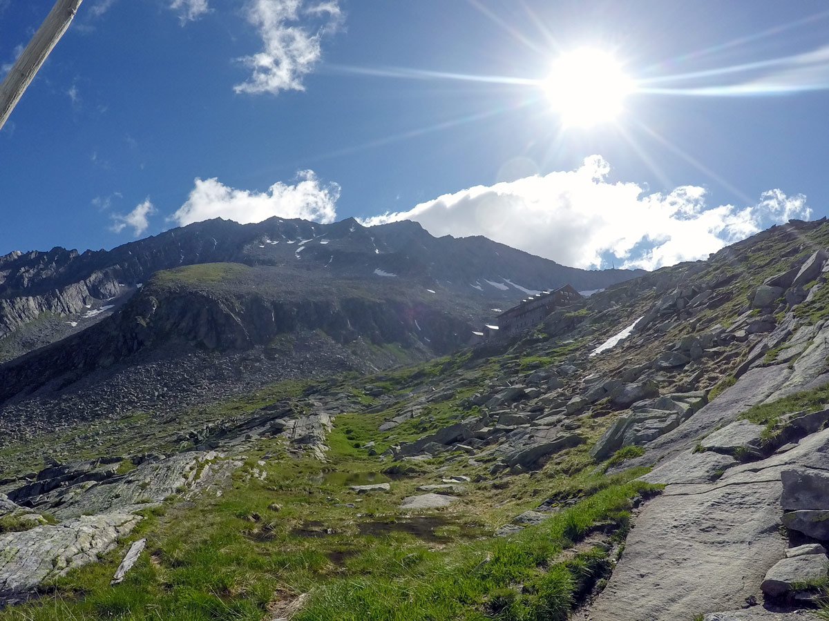
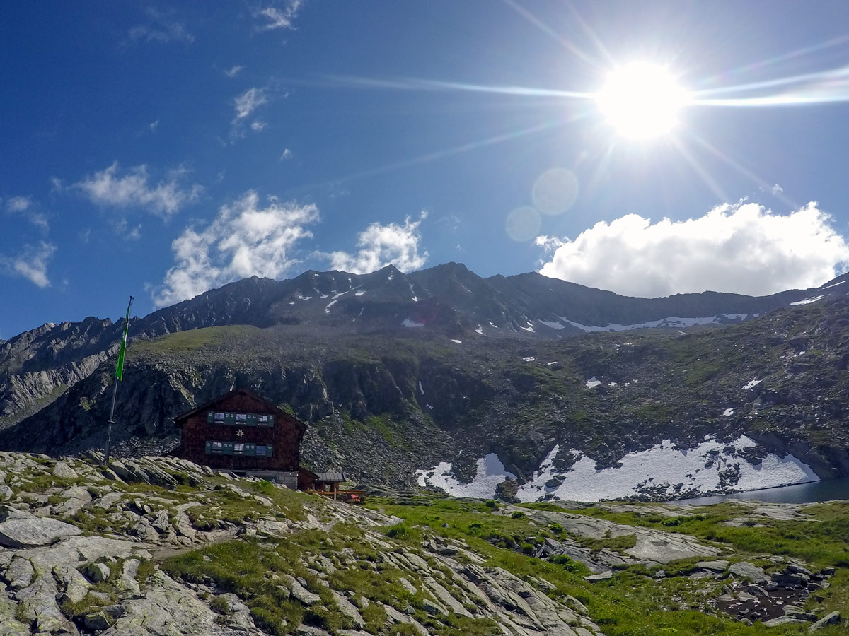
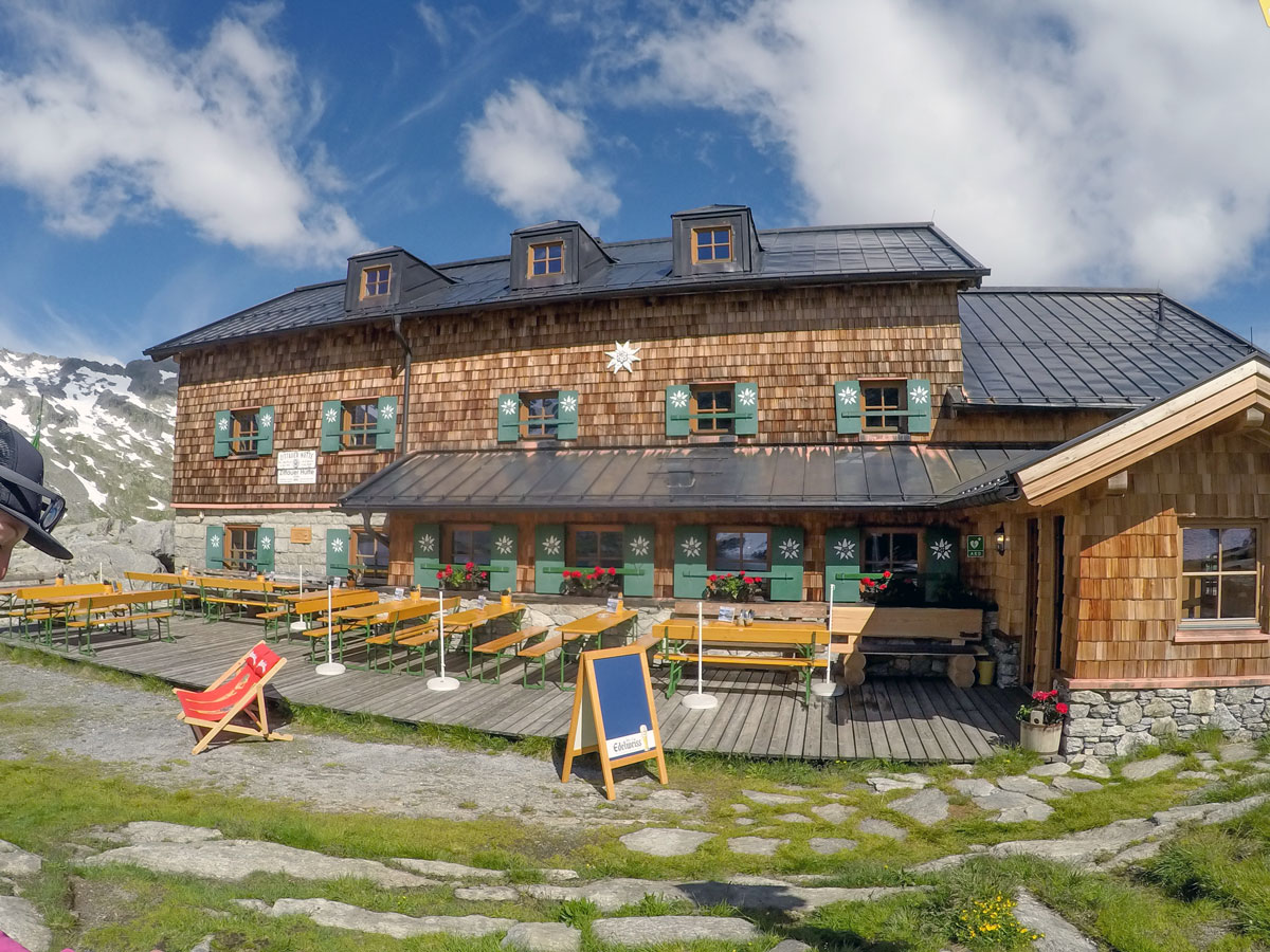
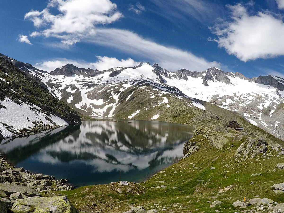
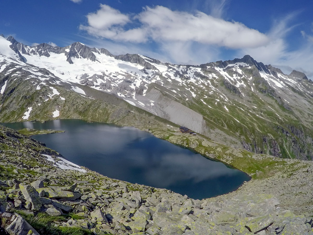
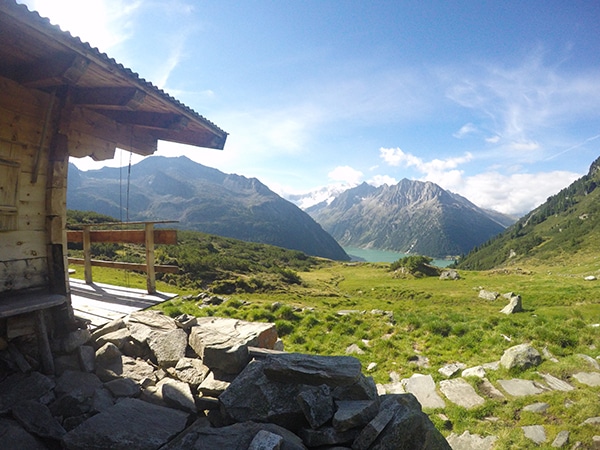
Zittauer Hütte is located near Unterer Gerlossee, and the views from here are quite incredible. The hut is also spectacular, offering great food and pleasant sleeping quarters.
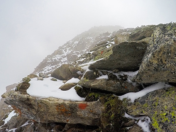
If you have the energy, you can continue on to the summit of Rosskopf, a 1.5-2h hike which grants even better views
Return the same way you came.
Insider Hints
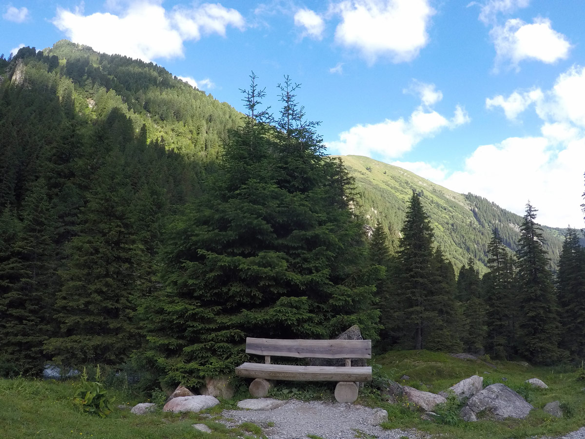
We recommend using the walking path due to its nice benches and viewing points - great to take some Instagram-worthy pictures.
If there are cows around the hiking path do not pet them. Especially be aware if you have a dog with you. You can take pictures but do not walk over because they are usually young animals up there and easily frightened.
Have a meal at Zittauerhütte, their cuisine is delicious.

Similar hikes to the Zittauer Hütte Hike hike
Tristner Hike
Steep! Adventurous! Rewarding! Getting to the summit of Tristner provides you with the most incredible view over the Zillertal; it…
Ahornspitze Hike
The Ahornspitze hike is spectacular! The trail begins at the top of the Ahornbahn lift, which you take from Mayrhofen.…
Friesenberghaus & Olpererhütte Hike
The Friesenberghaus & Olpererhütte hike provides breathtaking views over Schlegeis reservoir. Views of steep and exposed mountains also make this…
Jakob F. 4 years ago
The climb is a little bit steep with many beautiful views
Cloudhigh 4 years ago
Great scenery and views. I highly recommend visiting this place
Kamil Blajak 4 years ago
Great experience, wonderful lakes and great location next to the glacier
Alexis Schweitzer 4 years ago
Fantastic location and peaceful lake
Andrea R 4 years ago
Had a weekend hiking and loved Mayrhofen, Highly recommend
Edmund D. 4 years ago
Phenomenal hike! It was very distinct, with unforgettable feautures.
Rixy Lily 5 years ago
Glad I made it. It is one of the memorable experiences that are hard to recreate.
Aria Z. 5 years ago
Lake was gorgeous! Well worth the sweat and tears!
Yuyu Kishimoto 5 years ago
This is a really amazing place, super memorable. Amazing!
John Anchor 5 years ago
Stunning glacier and lake views. The mountain views were very nice as well.