
Plauener Hütte Hike
View Photos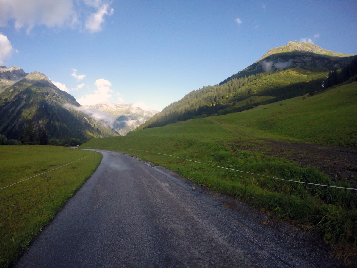
Plauener Hütte Hike
Difficulty Rating:
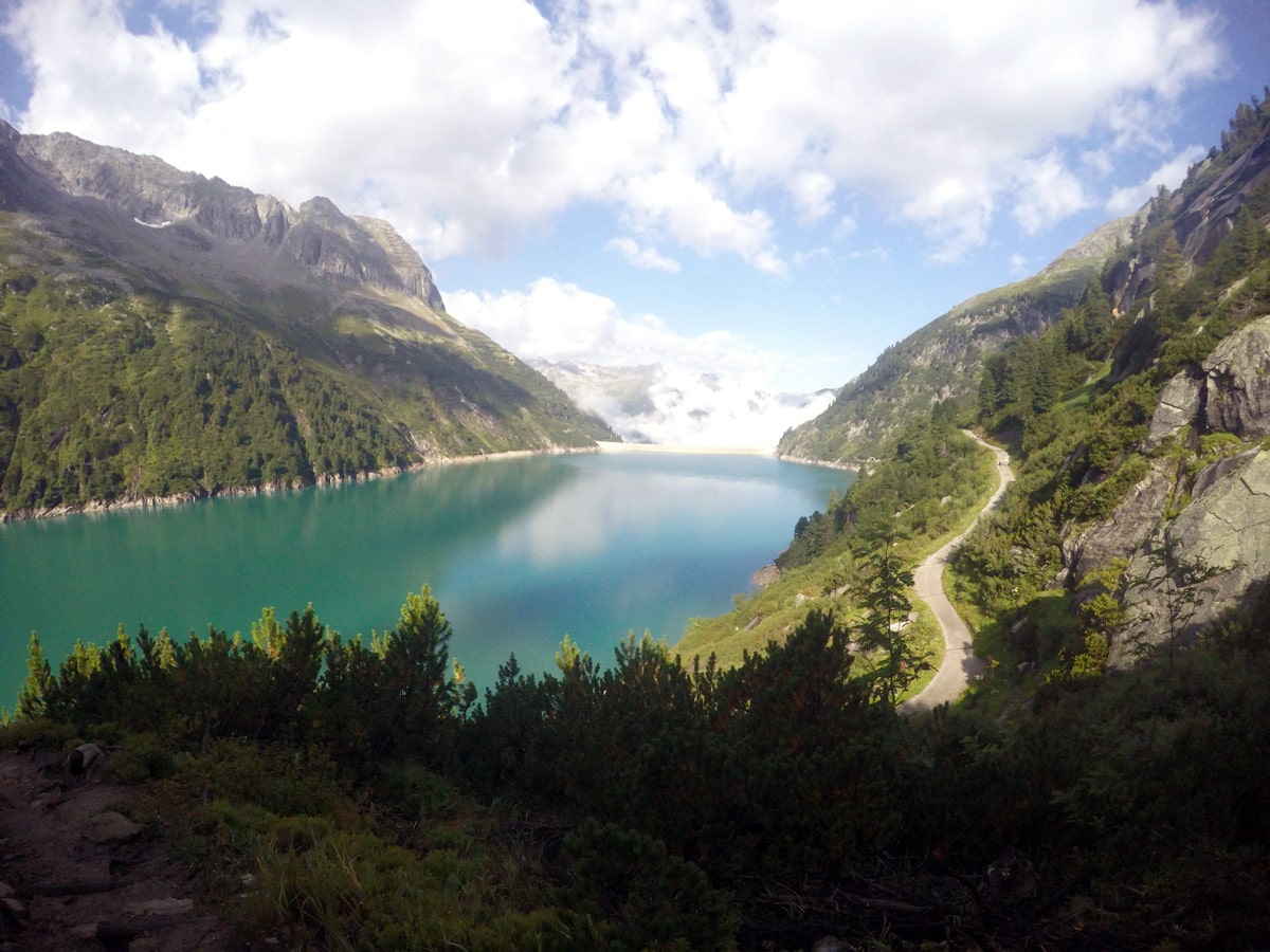
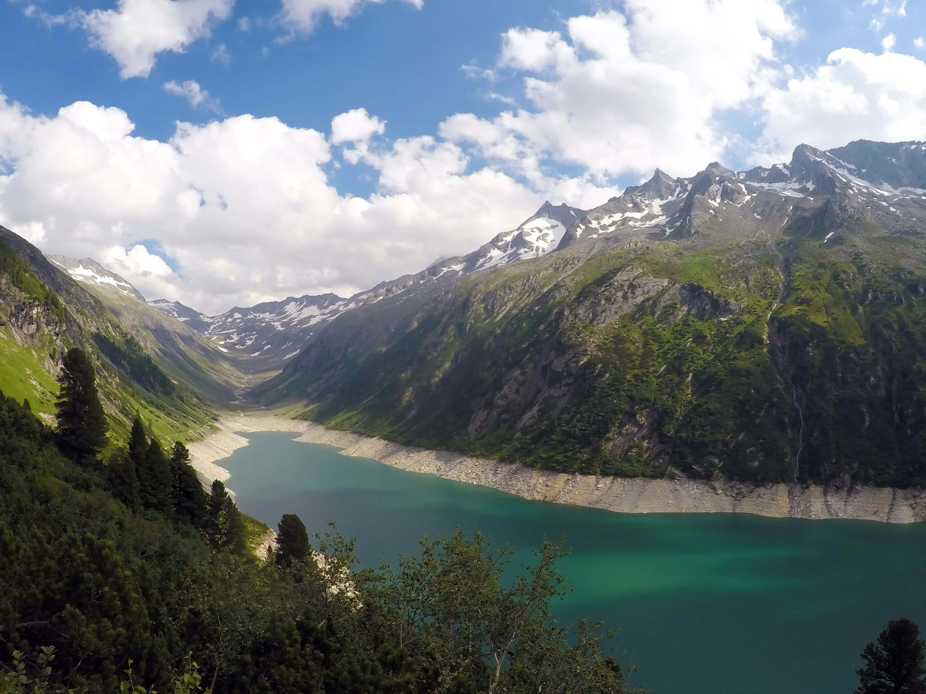
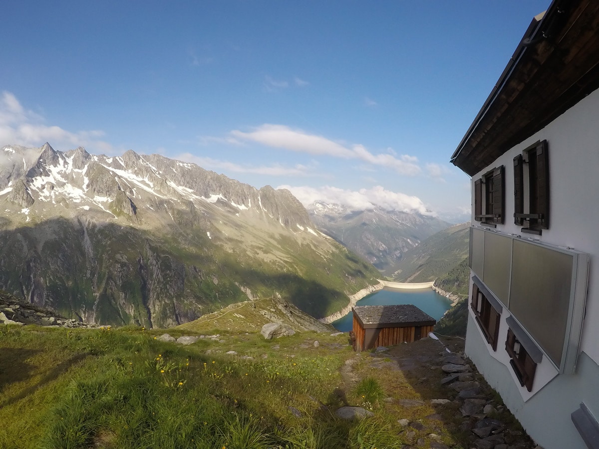
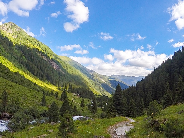
The Plauener Hutte route is a stunning hike near Mayrhofen that has it all including incredible views of mountains and the Zillergrundl reservoir. Get up to the Plauener Hutte for a wonderful snack or meal, before the stunning hike back.
Getting there
Head northeast on Am Marktpl. toward Einfahrt Nord, turn left onto Einfahrt Nord. At the roundabout, take the 1st exit onto Zillertal Str./B169 and then turn right onto Laubichl. Continue onto Brandbergtunnel. After the tunnel, take a left to get to the toll station. Toll fee is approximately €8. Follow the road to the Bärenbadalm. Check Insider Tips below for how to take the bus to the start of this hike.

About
| When to do | May to October |
| Backcountry Campsites | No |
| Toilets | Yes, at the beginning of the reservoir and at the Plauener Hütte |
| Family friendly | Older Children only |
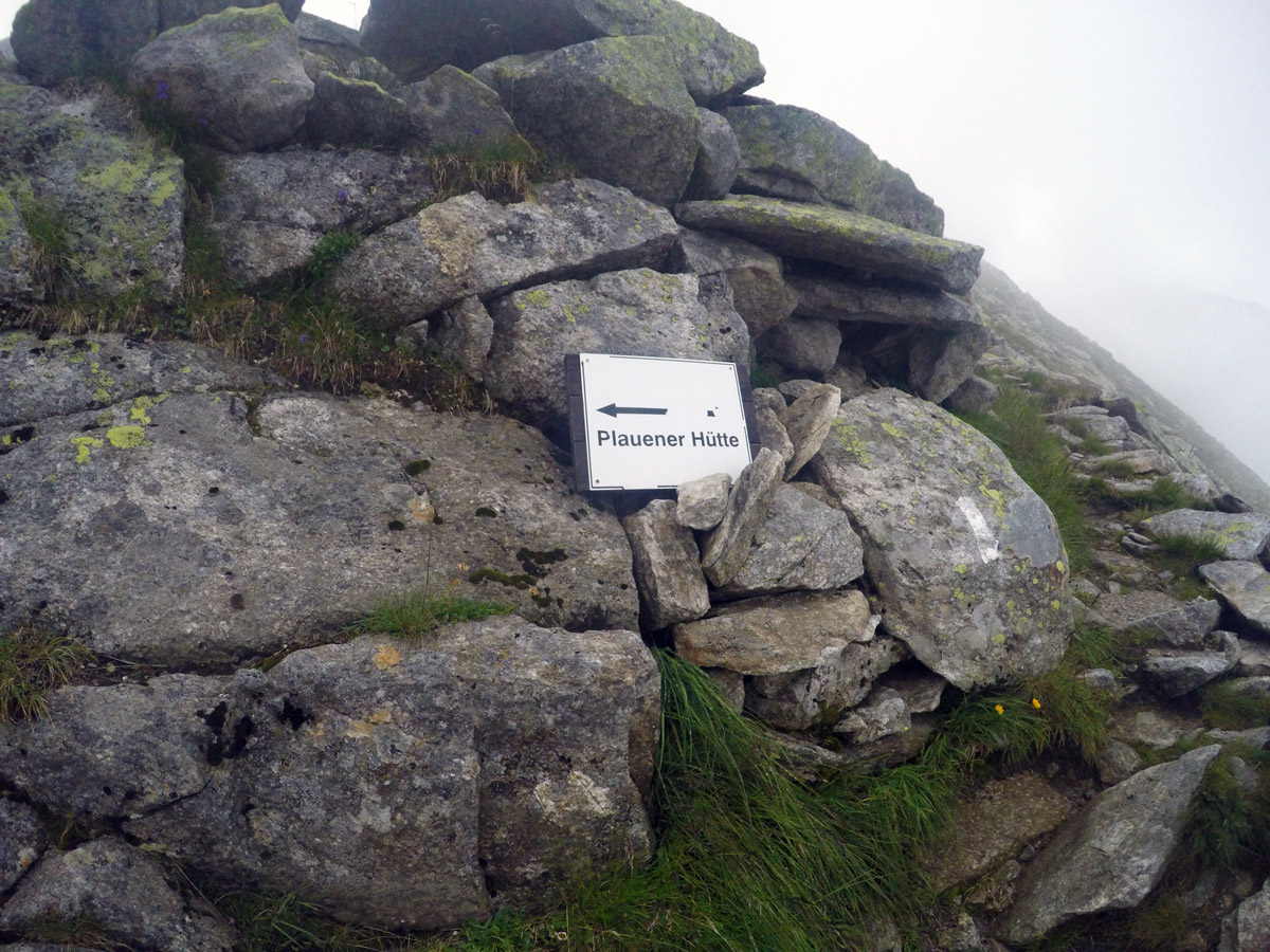
| Route Signage | Good |
| Crowd Levels | High |
| Route Type | Out and back |
Plauener Hütte Hike
Elevation Graph
Weather
Route Description for Plauener Hütte Hike
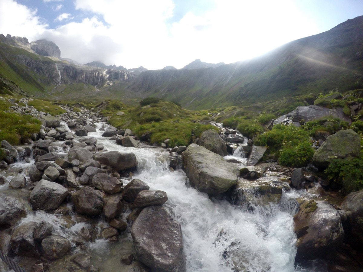
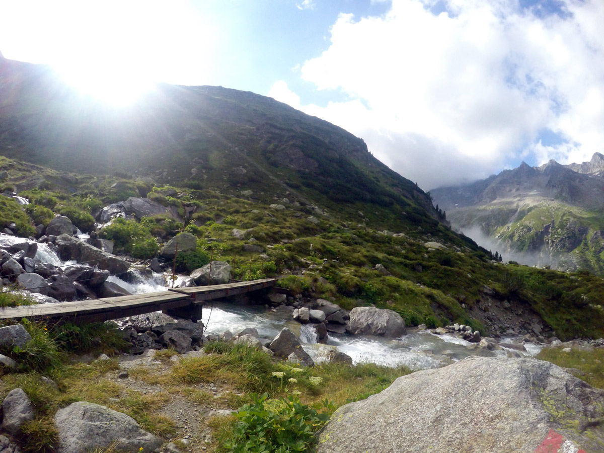
From the Bärenbadalm, walk along the road, and turn right, away from the asphalt road, passing a small private hut.
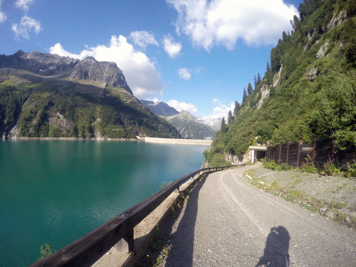
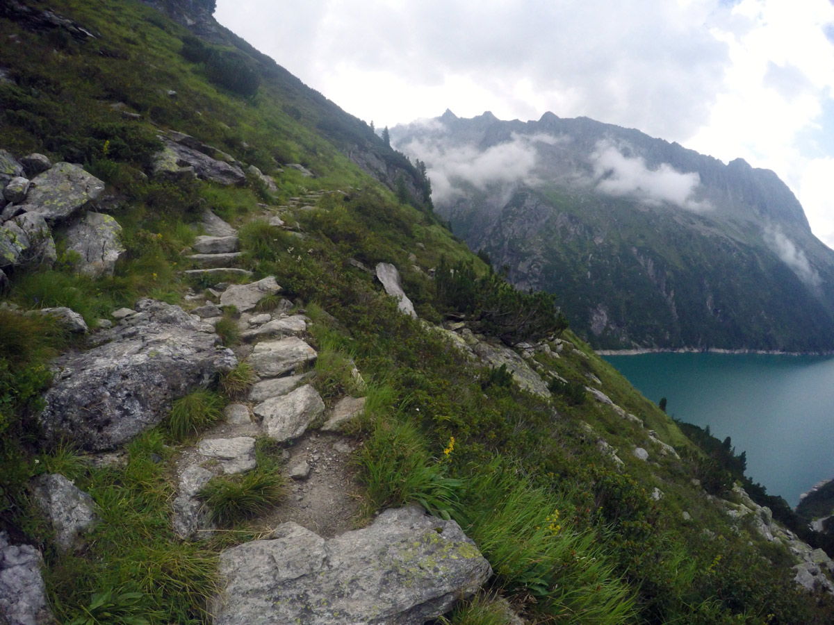
Follow the red marks on stones as the path leads you through woods. You come out of the woods on the road and walk along it for 1312ft. Ahead you can see the imposing dam high above.
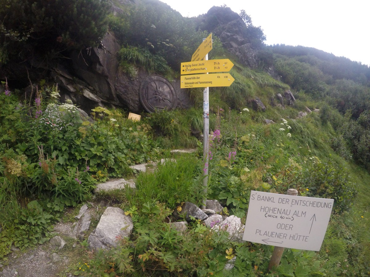
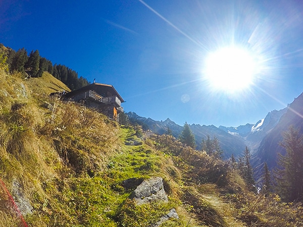
The next yellow sign to your left leads you to Adlersblick and Plauener Hütte. You will wind switchback your way up through the wood, crossing the road twice before reaching Adlersblick.
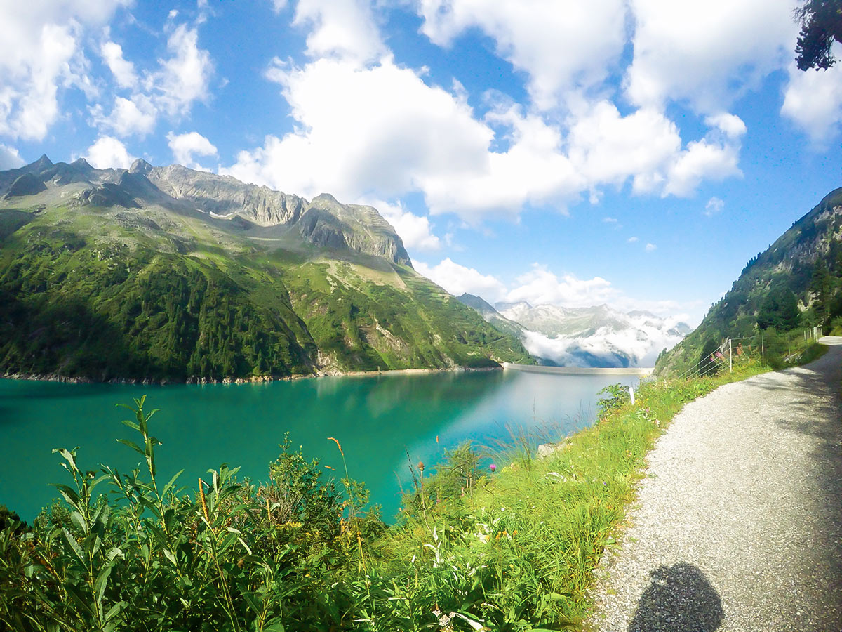
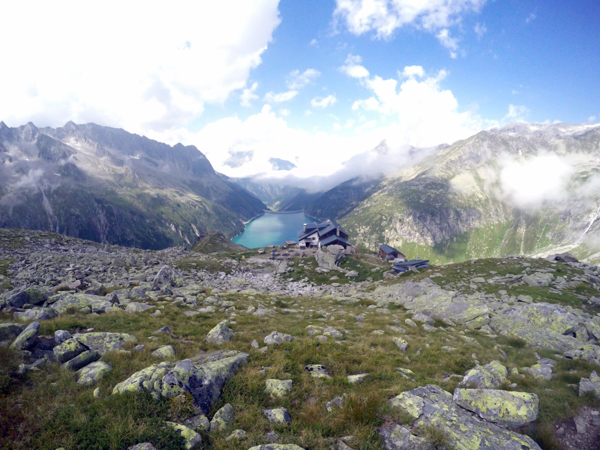
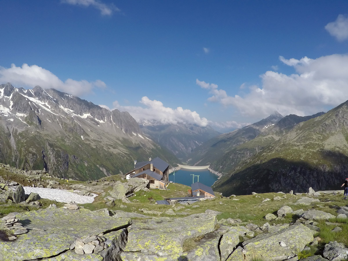
Adlersblick is a great little hut with good food. From here you will make your first impression of the beautiful reservoir and the mountains around you.
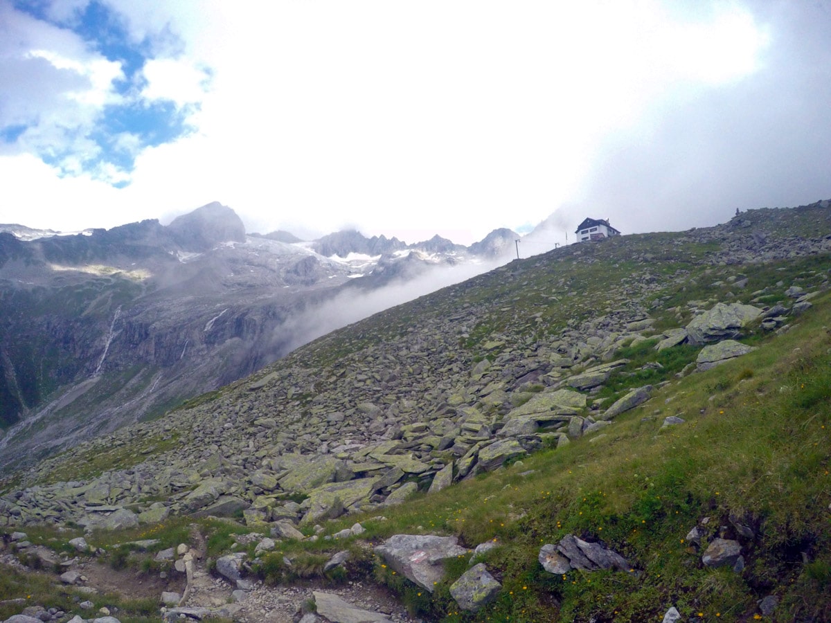
From here, walk through a tunnel and along the left-hand side of the Zillergrundl reservoir until you reach an intersection with signs in two directions saying to get to the Plauener Hütte. To save kms, take the left one and hike up the small path until you reach the hut.
The Plauener Hütte is a wonderful mountain hut, offering meals and overnight accommodation.
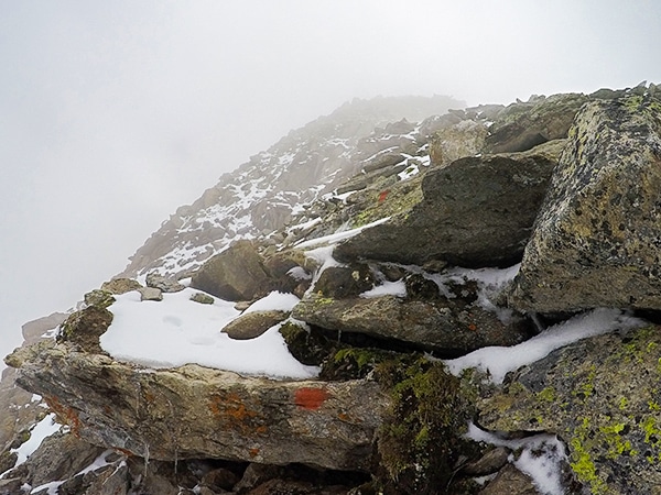
Our map shows an optional excursion up to the Rainbachköpfl. Ask at the Hut for details on the trail.
To return, follow the same path in reverse. Note that when you are walking along Specher Zillergrundl, our map also shows a quick excursion on a path that takes you down closer to the water.
Insider Hints
It is also possible to park in Mayrhofen and take the bus from the train station up to Bärenbadalm or all the way to Zillergrund. Bus fee is approximately €4,50 per person.
The Plauener Hütte is a self-servicerestaurant, you order at the window instead of waiting for service.
Have a look to the left while hiking up to the alp, depending on the month you can see the rest of the glacier with its huge ice masses.
At the Bärenbadalm you should try the cakes, they are the best around.

Similar hikes to the Plauener Hütte Hike hike
Tristner Hike
Steep! Adventurous! Rewarding! Getting to the summit of Tristner provides you with the most incredible view over the Zillertal; it…
Ahornspitze Hike
The Ahornspitze hike is spectacular! The trail begins at the top of the Ahornbahn lift, which you take from Mayrhofen.…
Zittauer Hütte Hike
The hike to Zittauer Hütte offers a moderate hike for both the young and old. There is lots to see…
Udo Huber 4 years ago
Not too hard climb. Just quite windy. Make sure to check the weather before your hike.
Jakob F. 4 years ago
Beautiful hiking trail, fantastic view of the lake and the place offers great options for meals.
Cloudhigh 4 years ago
magnificent views of mountains and the Zillergrundl
Gilberto Fattore 4 years ago
Very nice walk to the Plauener Hütte and fantastic panoramic views and relaxed atmosphere
Andrea R 4 years ago
A bit demanding climb but great panoramic view
Tom Zugberg 4 years ago
great views of Zillergrundl reservoir and a fantastic hike for sure
Jamie Parker 4 years ago
It was a remarkable trail. There are lots of amazing views to see.
Rixy Lily 5 years ago
Beautiful! The lake is beyond what I have expected.
Jhamie A. 5 years ago
Adlersblick is an amazing place to grab some food and recharge your energy. Got to see and enjoy wonderful views of the mountain from there.
John Anchor 5 years ago
Finishing this hike gave me a sense of accomplishment. I'm so glad I was able to share the moment with my closest friends.