Kleiner Gilfert Hike
View Photos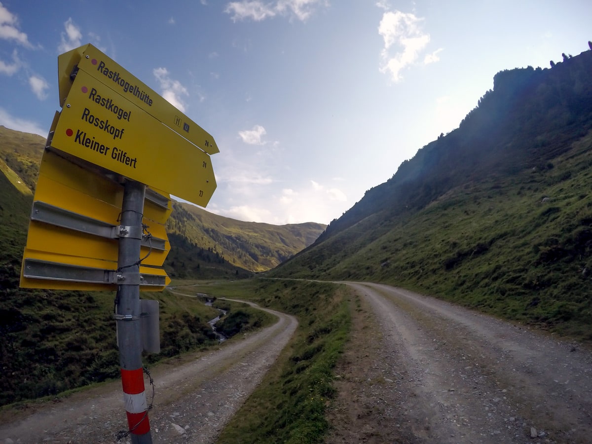
Kleiner Gilfert Hike
Difficulty Rating:
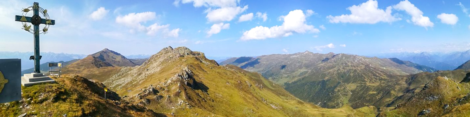
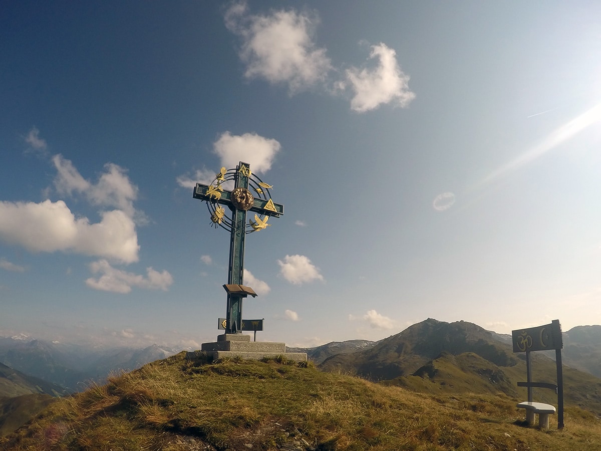
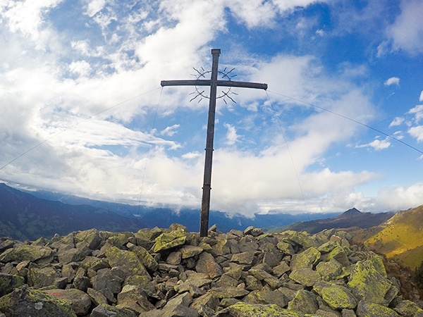
The hike up to Kleiner Gilfert is a great, gentle hike starting with a wide path that spreads almost all the way up to Kleiner Gilfert. At the top, you will find a majestic peace-cross with 9 major religions represented on it. You will also be rewarded with an awesome view of the Tuxer glacier.
Getting there
From Mayrhofen, Follow Zillertal Str./B169 to Fügen. Exit from Zillertal Str./B169 on to Pankrazbergstraße Turn right onto Turn right onto Hochfügener Str. and stay on it as it turns into Hochfügenerstraße/Pankrazberg. Continue on the mountain road to Hochfügen. Park in front of Zillertal Shuttle.

About
| When to do | May to November |
| Backcountry Campsites | No |
| Toilets | No |
| Family friendly | Yes |
| Route Signage | Good |
| Crowd Levels | Low |
| Route Type | Out and back |
Kleiner Gilfert Hike
Elevation Graph
Weather
Route Description for Kleiner Gilfert Hike
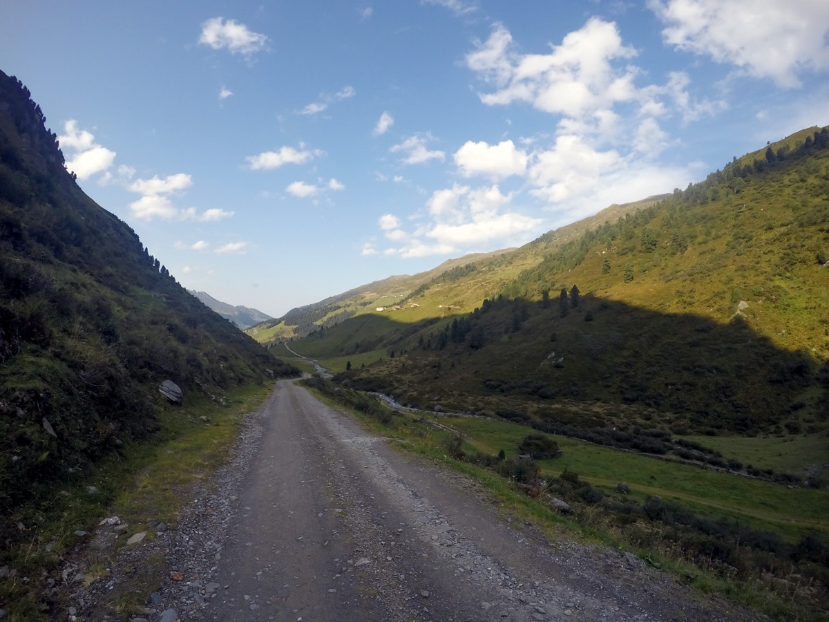
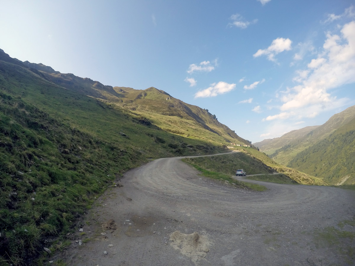
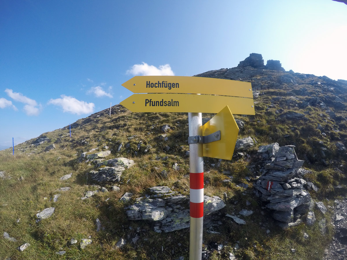
Start at the parking lot, head out south, away from Hochfügen. Follow the toboggan run to pass Pfundsalm Niederleger. You will find a few small huts along the way. These are used by farmers to stay close to their cows during summertime.
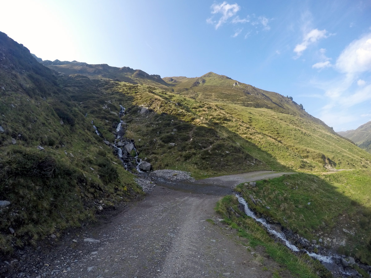
Keep left on the trail, passing a wooden fountain, and follow the yellow signs to get deeper into the valley. Keep right at the next 2 intersections to follow the route to Kleiner Gilfert, staying on the wide, big road. After a 90° curve you arrive at the Pfundsalm Hochleger; it which is only for private use for farmers.
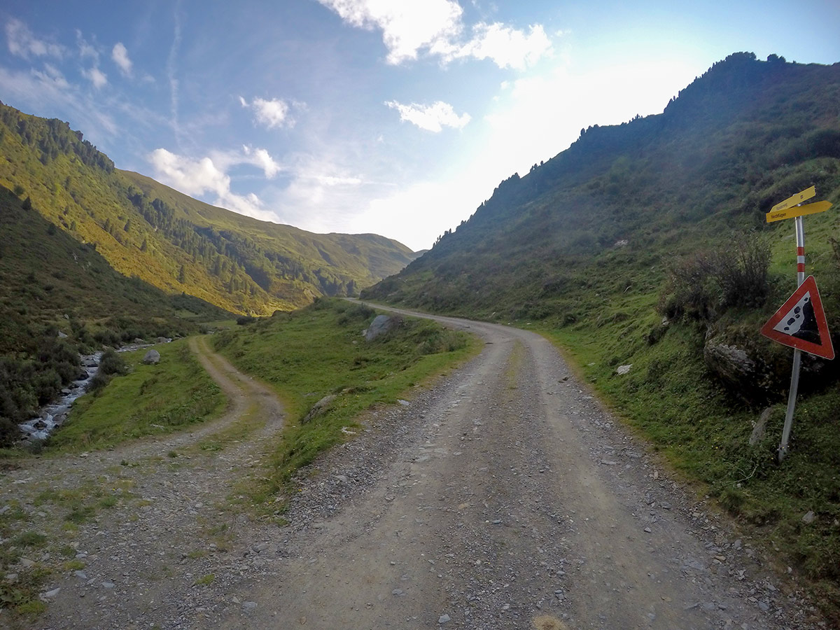
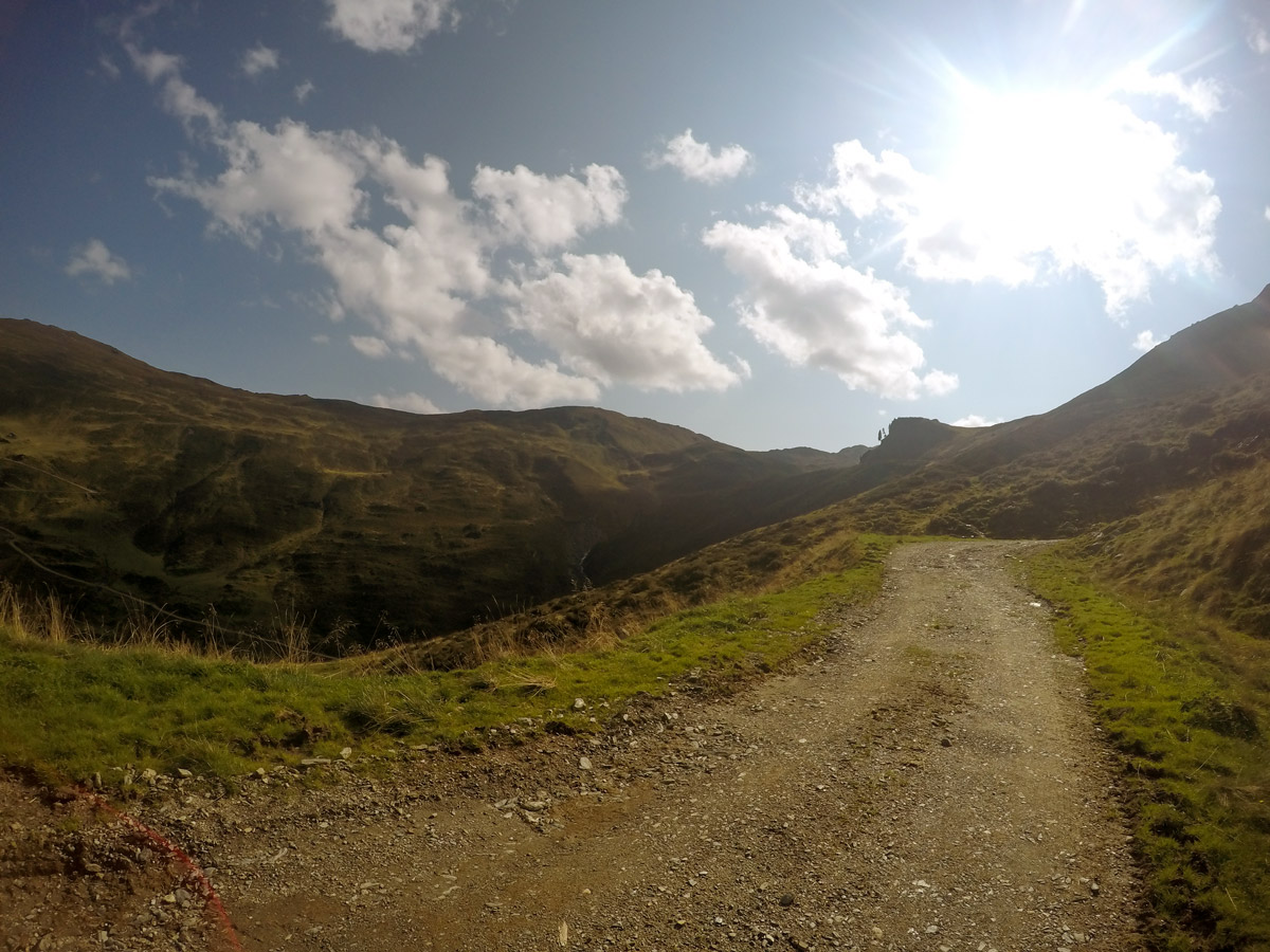
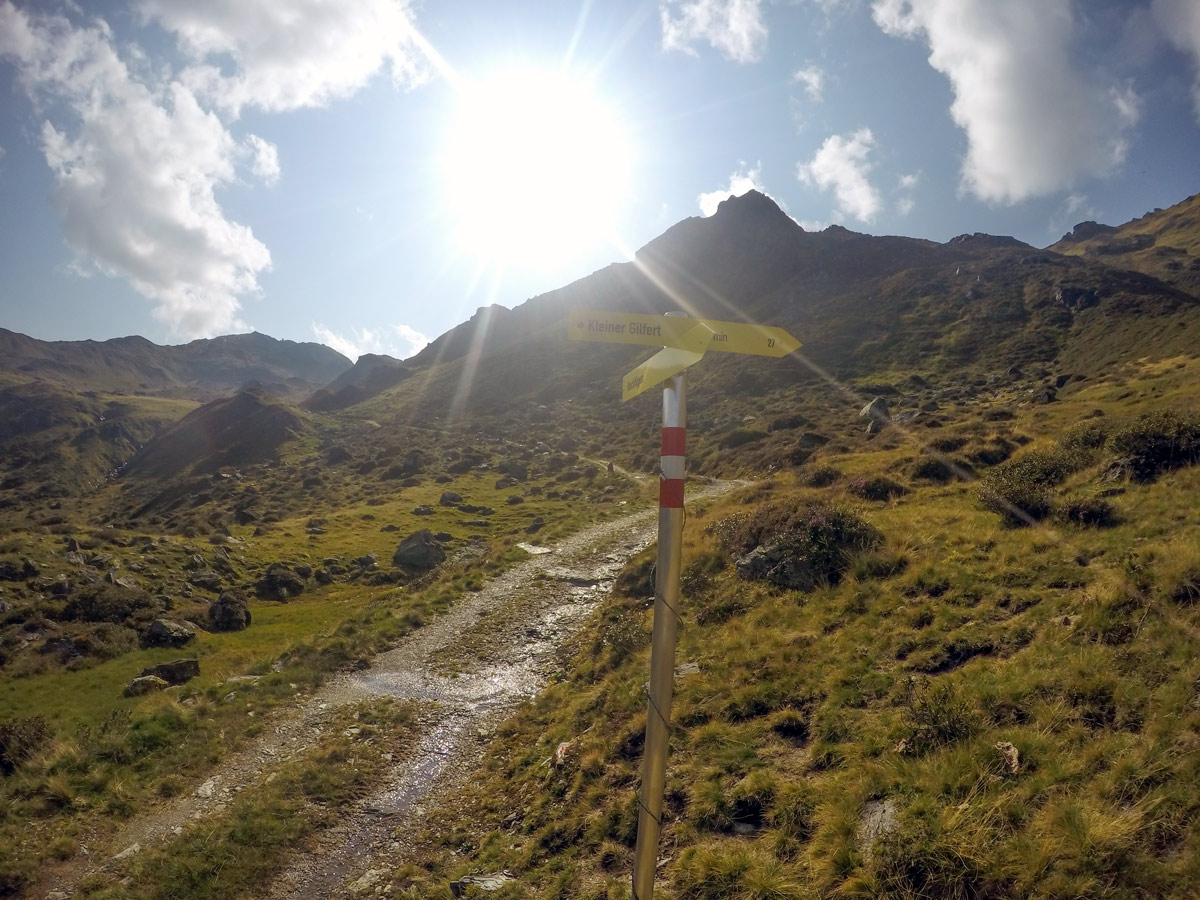
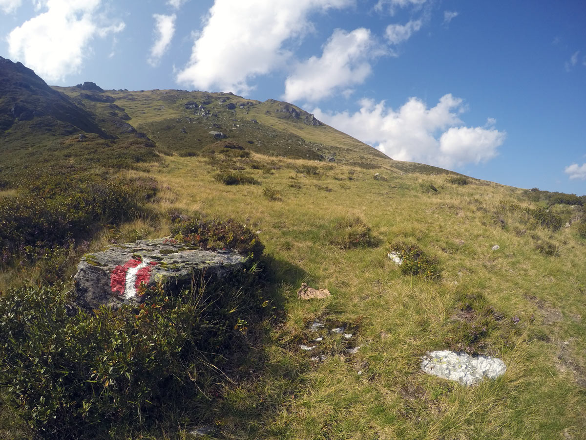
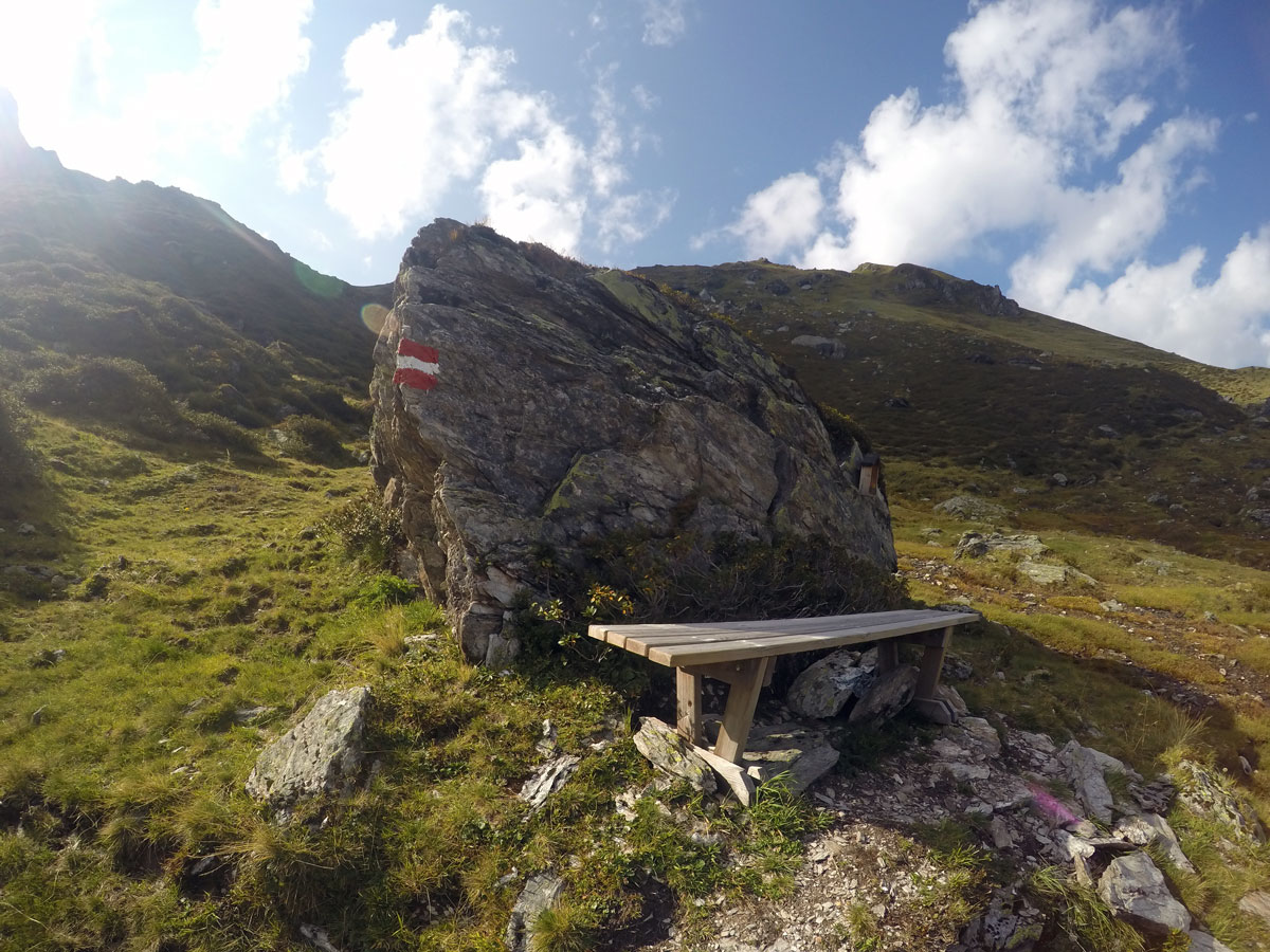
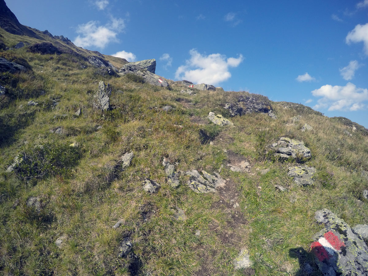
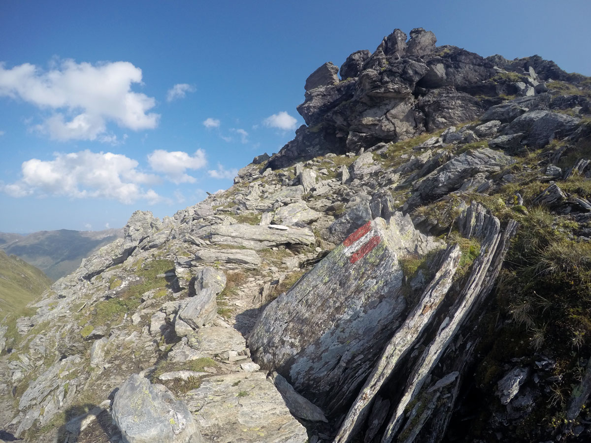
Continue hiking up to your left in front of the first hut and stay on this road around a small peak until a yellow sign leads you right onto a small path. Take the steep and small hike up and follow the red/white marks on rocks or wooden sticks all the way to the summit. Close to the top, you will have to step over a fence; this is used to separate herds.
Once on the summit you can walk along the ridge in either direction. It’s about 2.5mi to Rastkogel to your south.
Return to your car using the same route you have just completed.
Insider Hints
There are a range of hotels in Hochfügen. The Berghotel Hochfügen is very nice, and is open from the middle of June to the first week in October.
Take something to eat with you so that you can have a nice picnic on top.
On your way back to Fügen, be sure to stop at Schellenberg restaurant, located after the avalanche part of the road. They have the best Wiener Schnitzel in the area.
Click the link to find out more about hiking the Austrian Alps.

Similar hikes to the Kleiner Gilfert Hike hike
Themenwanderung Bergmähderweg Hike
This stunning hike starts with a great view of the Zillertal Alps. Along the Themenwanderung Bergmähderweg, you will cross several…
Plauener Hütte Hike
The Plauener Hutte route is a stunning hike near Mayrhofen that has it all including incredible views of mountains and…
Hamberg Hike
Reaching the top of Hamberg is rewarding hike, as it comes with an awesome view over the whole Zillertal as…
Alexis Schweitzer 4 years ago
Beautiful hike and Peace cross for all world religions
Francesco D. 4 years ago
Plenty of walking trails in and around Mayrhofen, the walks were challenging but really enjoyable
Andrea R 4 years ago
beautiful panoramic mountain and very nice summit cross
Edmund D. 4 years ago
Most exotic environment I've seen so far. Beautiful!
Tom Zugberg 4 years ago
impressive summit cross and magnificent panoramic view of the mountain
Erika Svenn 5 years ago
Hiking time 5.16hrs. My smartwatch showed us at 8.3 miles. Would definitely do it again!
Johnson Bonanza 5 years ago
The elevation gain doesn't feel that crazy. It is incredibly beautiful.
Maltis Dior 5 years ago
Beautiful views and glaciers. Definitely a moderate hike. There were no bathrooms along the way, as well as a water station.
Hilly P. 5 years ago
Having a picnic on the top is great. The view of the glacier is fantastic. Great place to relax and appreciate nature.
Halima Sud 5 years ago
Absolutely stunning! The hike up isn’t very hard. Tuxer glacier is impressive!