Themenwanderung Bergmähderweg Hike
View Photos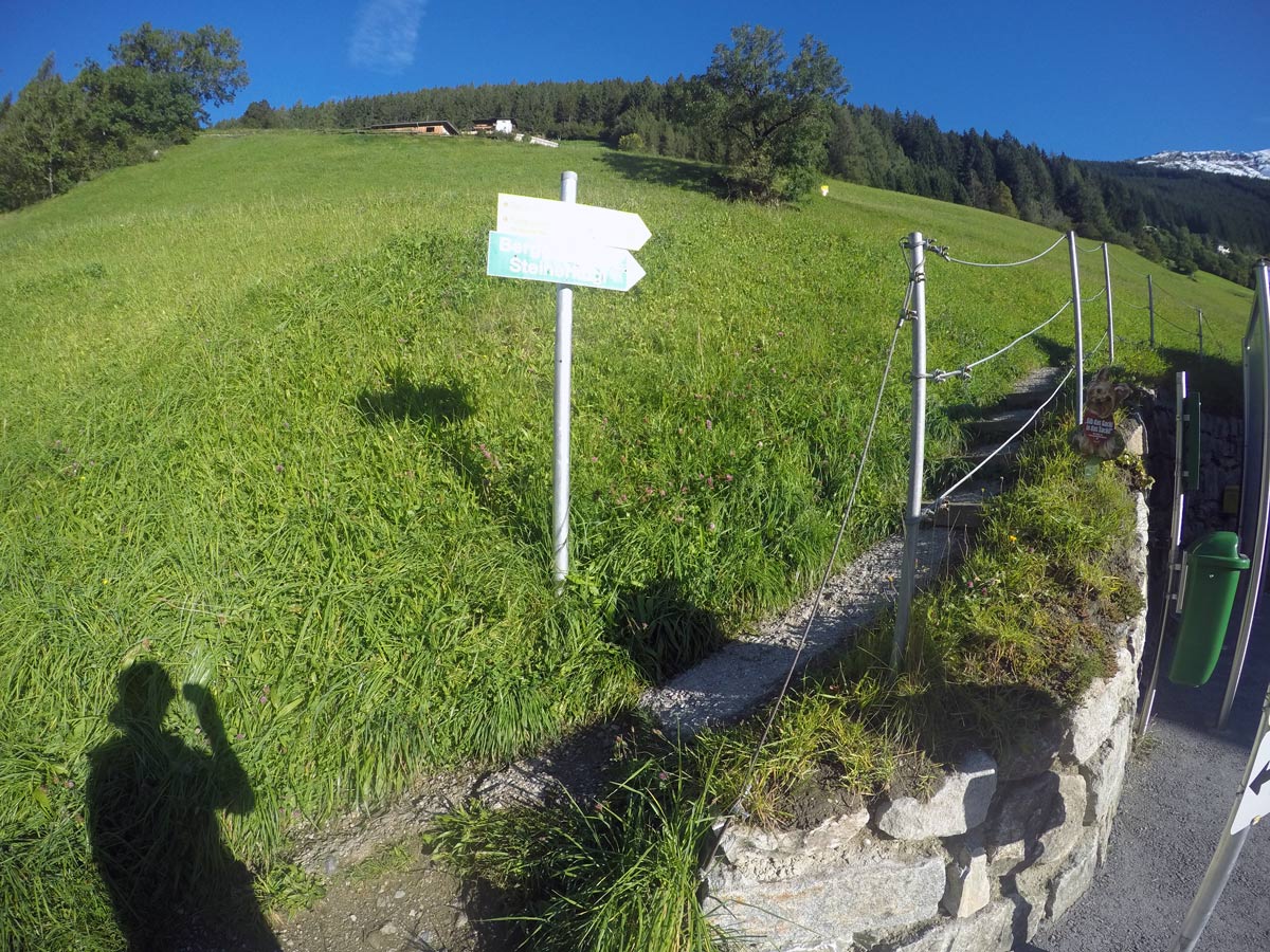
Themenwanderung Bergmähderweg Hike
Difficulty Rating:
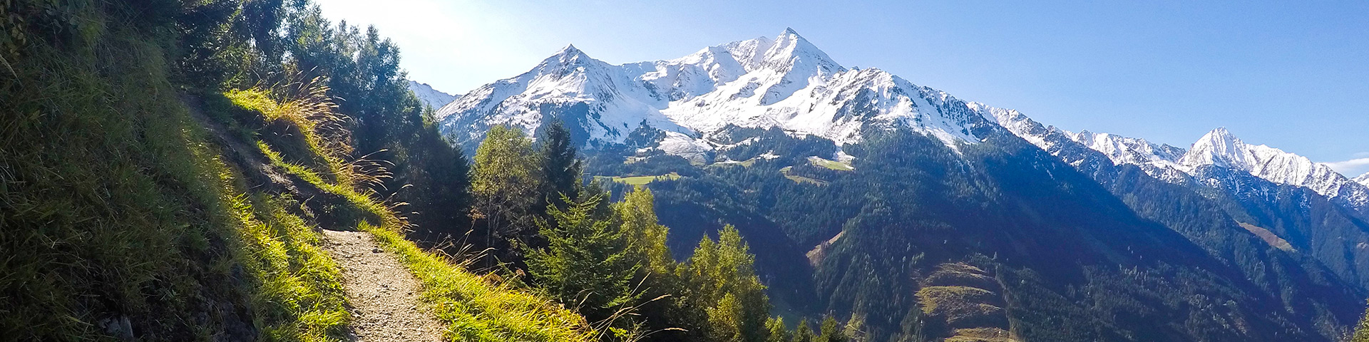
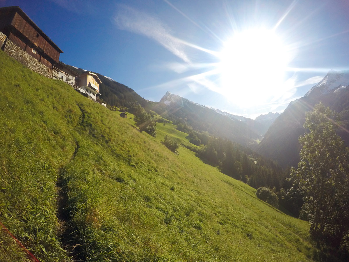
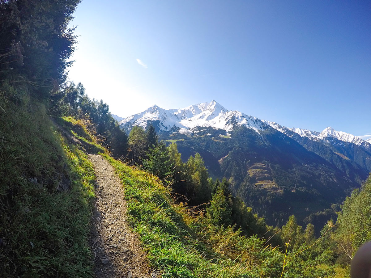
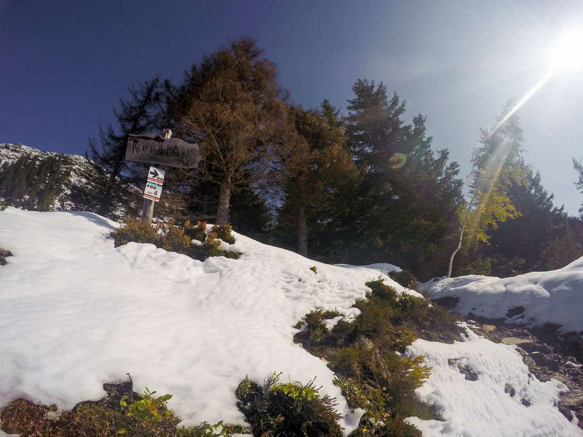
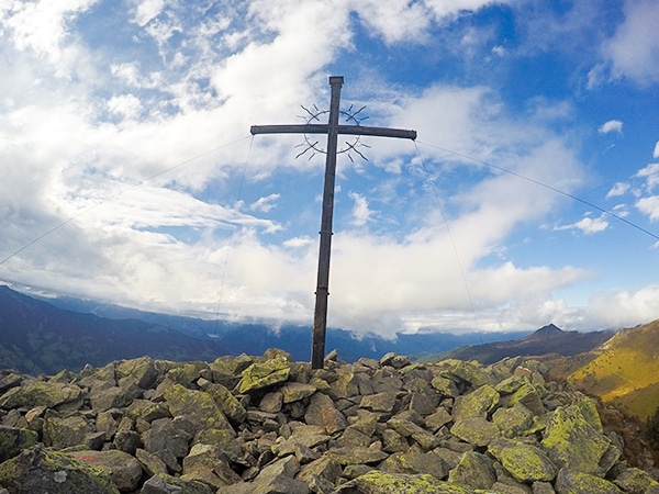
This stunning hike starts with a great view of the Zillertal Alps. Along the Themenwanderung Bergmähderweg, you will cross several wildflower fields and pass working farms without any engines, just like they used to many years ago. Following through old roads and winding paths, you will reach the Kolmhaus and be graced with a fantastic view of the majestic Ahornspitze.
Getting there
From Mayrhofen head take Brandbergstraßeto the town of Brandberg until you reach the restaurant “Thanner”. There is a parking lot for hikers behind the building on your right.

About
| When to do | May to September |
| Backcountry Campsites | No |
| Toilets | At restaurant Thanner and at Kolmhaus |
| Family friendly | No |
| Route Signage | Average |
| Crowd Levels | Moderate |
| Route Type | Out and back |
Themenwanderung Bergmähderweg Hike
Elevation Graph
Weather
Route Description for Themenwanderung Bergmähderweg Hike
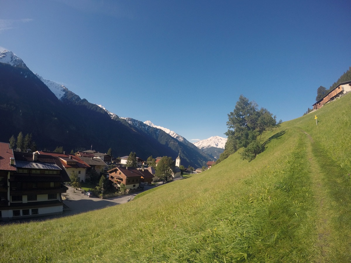
Start your hike across from the Gasthof Thanner, a popular hotel with a good restaurant. Follow the steep small path up through the first field. At this point, you can already see some beautiful wildflowers.
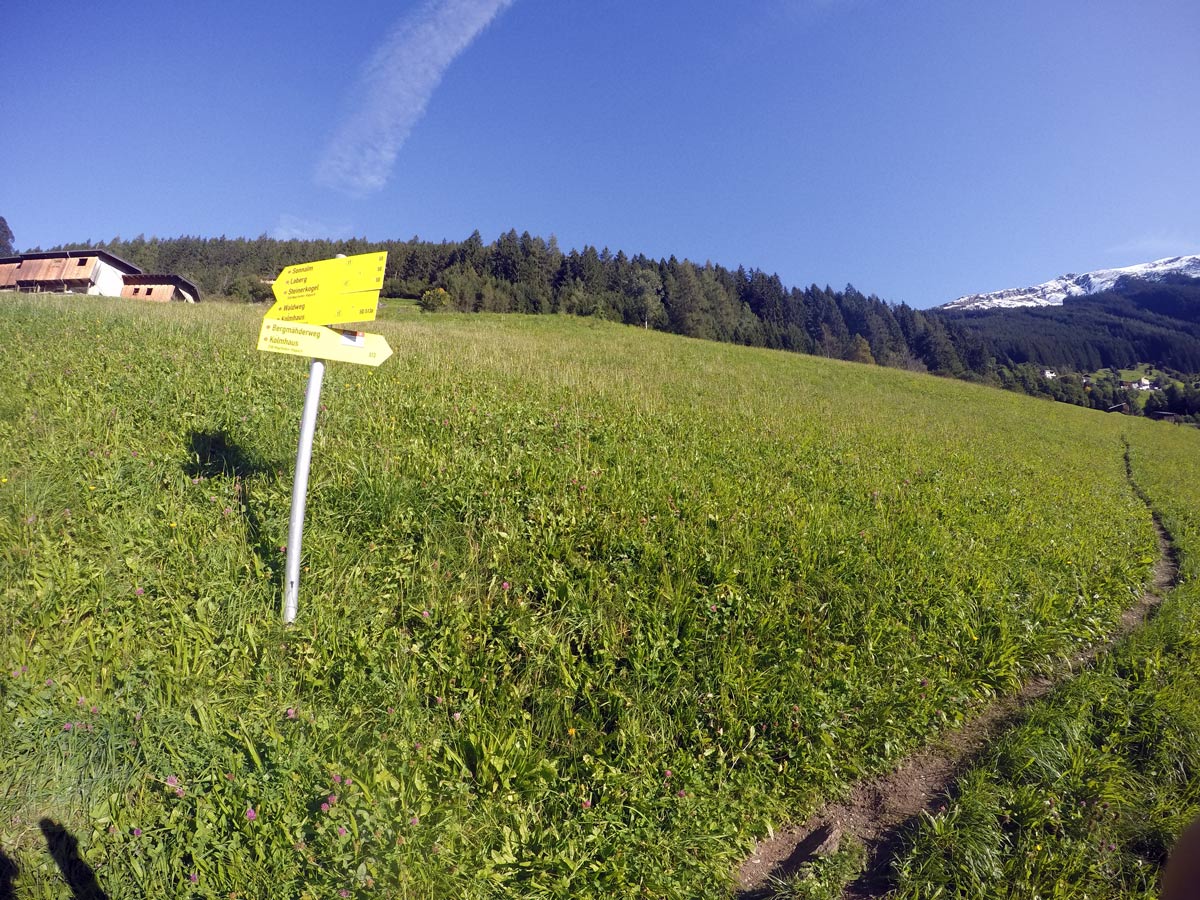
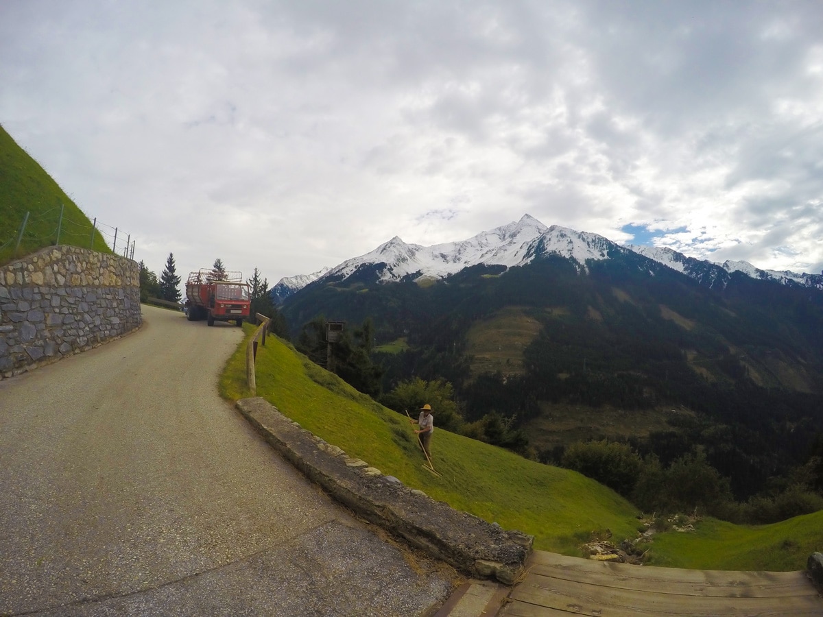
Go through a gate and continue slightly to the right along a road. There are lots of benches along the way, inviting you to take a short break and enjoy the amazing view. Always follow the yellow signs saying “Bergmähderweg” and “Kolmhaus”.
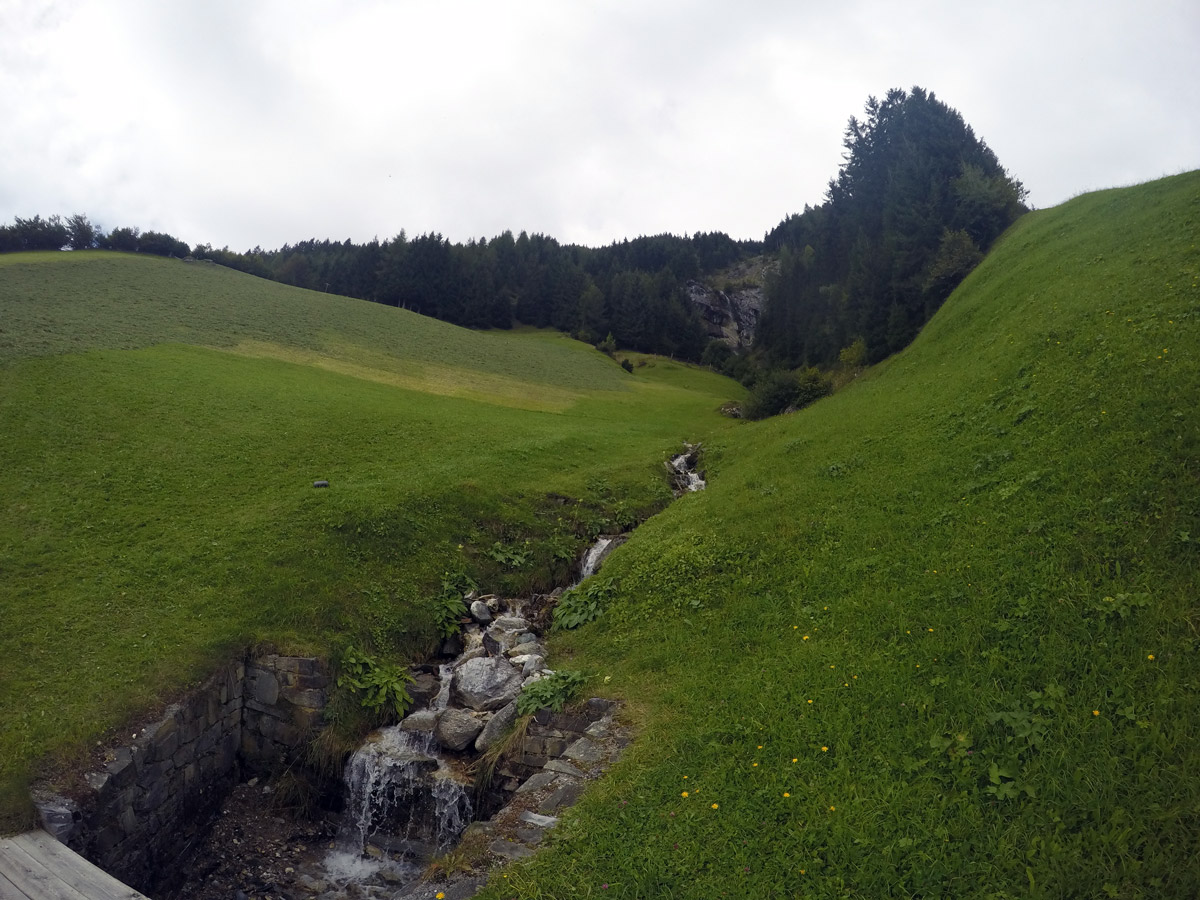
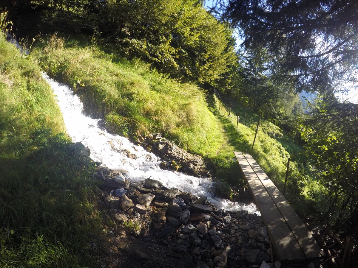
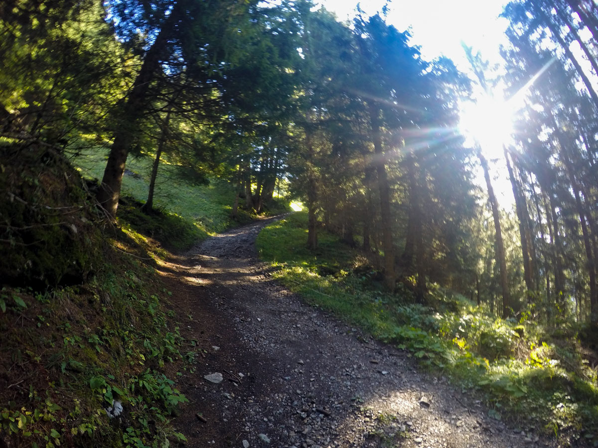
After the last house, the trail leads into the woods, a beautiful sight on hot summer days. Here you can choose if you stay on the gravel road or take some steep shortcuts all the way up to Kolmhaus. Keep an eye out for unique flowers and small rivers along the way up.
The path is steep here, so pace yourself. The last 2625ft of the walk, while still steep, feels fairly flat compared to the initial path through the forest.
To return, turn back and follow the way you came, sticking to the signs to Brandberg.
Insider Hints
It is a steep hike at the beginning but offers a lot of benches to rest.
Don’t do this hike on wet or rainy days, it can be a terror.
Get a snack at Kolmhaus and stop for a visit at the Gasthofrestaurant Thanner. The Kaiserschmarrn, a sweet traditional Austrian dish is served here and it is delicious!
You can also hike from Mayrhofen, it adds 2.9mi and 1476ft+ of elevation gain. It takes between 75 and 90 minutes each way. Details are here.

Similar hikes to the Themenwanderung Bergmähderweg Hike hike
Plauener Hütte Hike
The Plauener Hutte route is a stunning hike near Mayrhofen that has it all including incredible views of mountains and…
Kleiner Gilfert Hike
The hike up to Kleiner Gilfert is a great, gentle hike starting with a wide path that spreads almost all…
Hamberg Hike
Reaching the top of Hamberg is rewarding hike, as it comes with an awesome view over the whole Zillertal as…
Cloudhigh 4 years ago
Beautiful scenery, peaceful, surrounded by mountains and lovely restaurant
Alexis Schweitzer 4 years ago
Fantastic place in Mayrhofen
Axel Ross 4 years ago
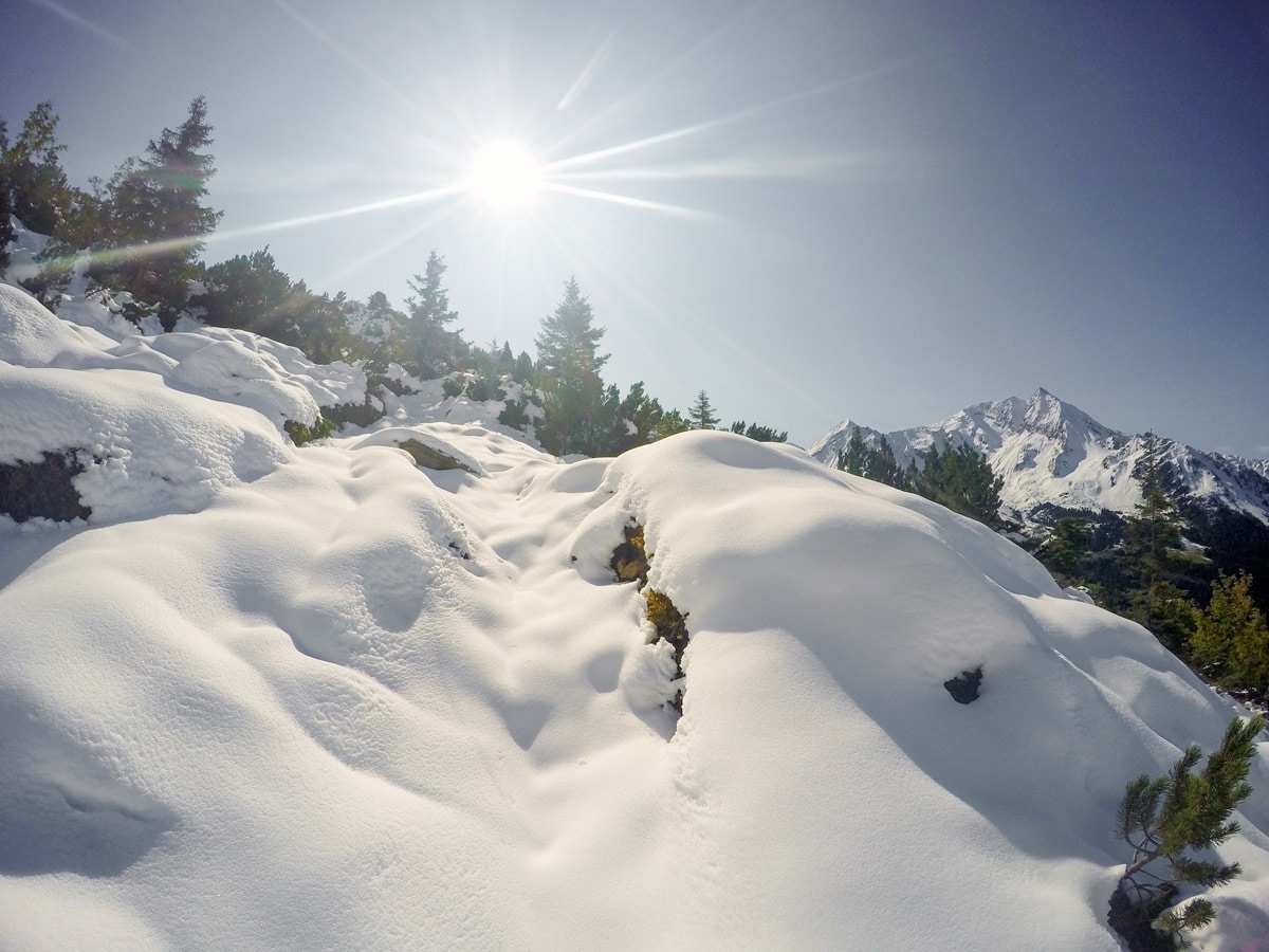
The snow-capped mountains and forest are very beautiful to behold.
Aria Z. 5 years ago
A nice moderate hike with a great view midway between forest treks and an amazing 360 view at the end.
Halima Sud 5 years ago
Beautiful vistas. Make sure you keep going after the wildflower fields. There's so much more to see.
Issa Deraulo 5 years ago
Never seen such enigmatic place before.
Lowell Hans 5 years ago
Views spectacular all the way. I would highly recommend this hike for anyone interested in wild flower fields and farms.
Cherry Alberts 5 years ago
Breathtaking view of the majestic Ahornspitze.
Mo 5 years ago
Themenwanderung bergmahderweg was great. I stayed that night at Thanner hotel. So it was good to start from there. did not have to get up early
SJ 5 years ago
Themenwanderung Bergmähderweg is a fantastic hike, glad I got the chance to get out and do it!