Maxhütte Hike
View Photos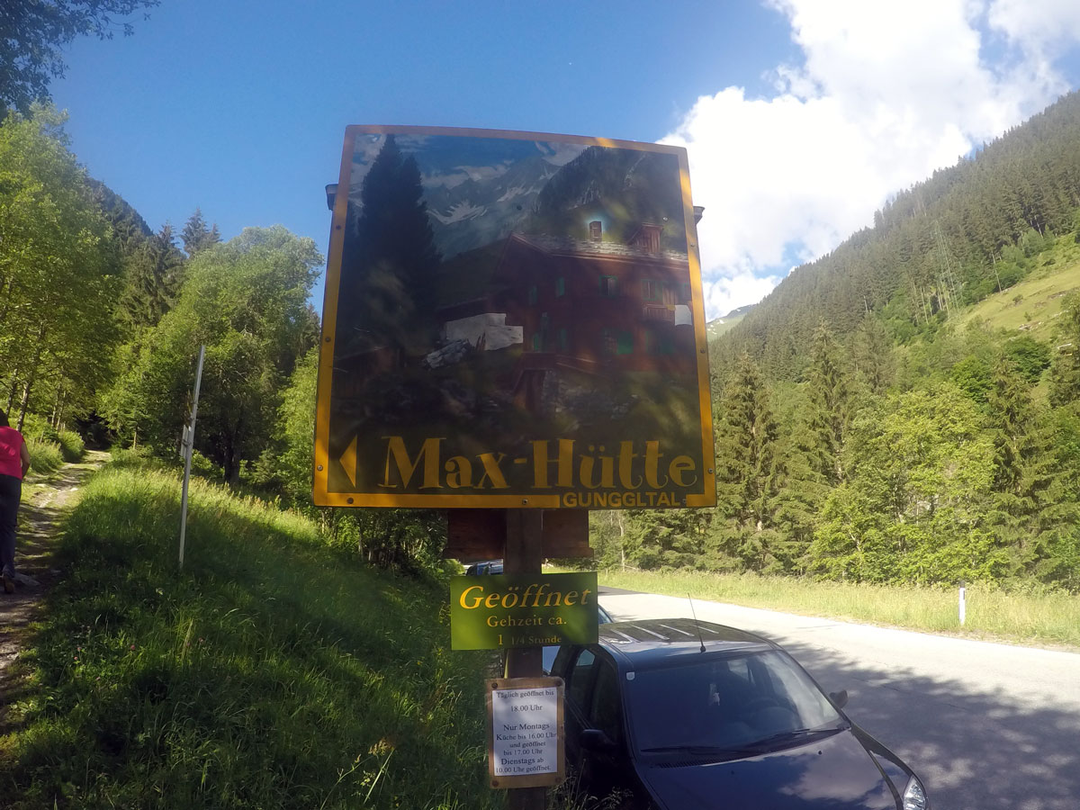
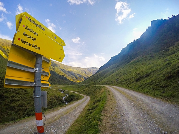
Getting there
From Mayrhofen take the B169 towards Ginzling. Once you have gone through Ginzling look for a parking lot on your left, labelled with a big sign saying “Maxhütte”.

About
| When to do | June to October |
| Backcountry Campsites | No |
| Toilets | Yes, at the Maxhütte |
| Family friendly | Yes |
| Route Signage | Good |
| Crowd Levels | High |
| Route Type | Out and back |
Maxhütte Hike
Elevation Graph
Weather
Route Description for Maxhütte Hike
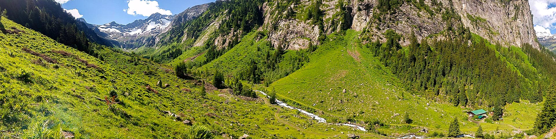
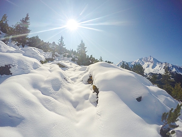
The hike to Maxhütte is a great day out near Mayrhofen, not only are there nice views, but Maxhütte is a charming mountain hut with very good food.
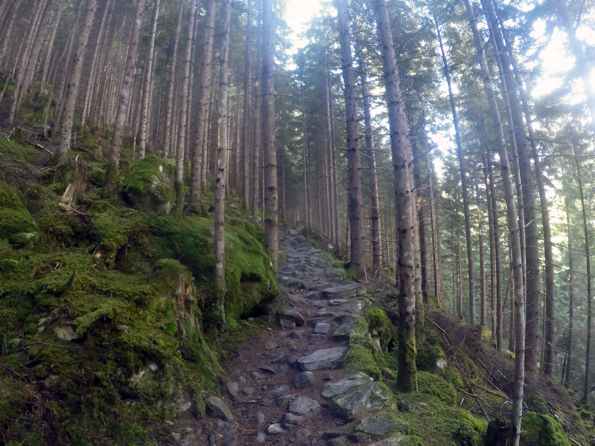
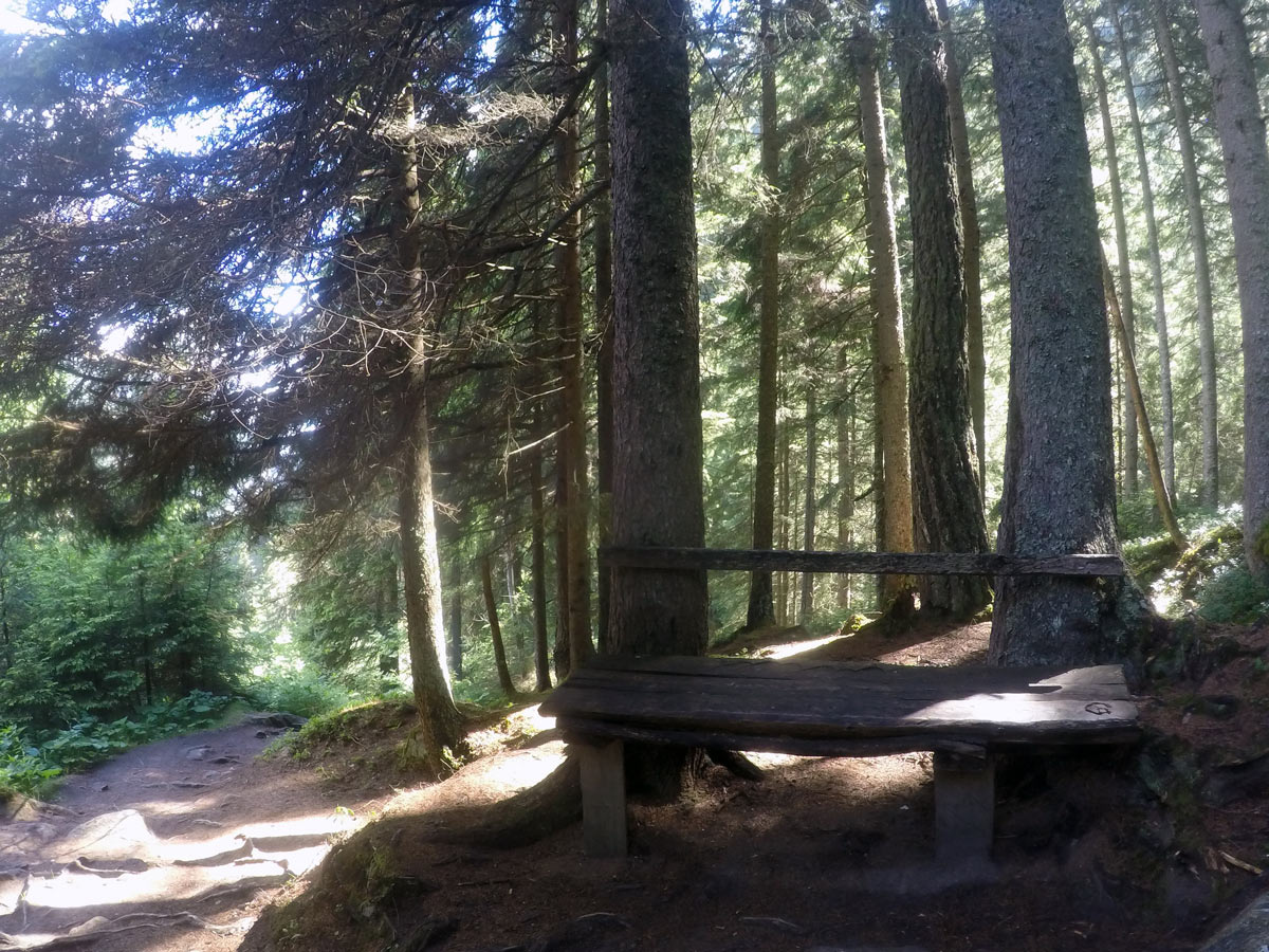
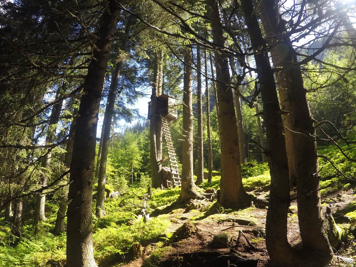
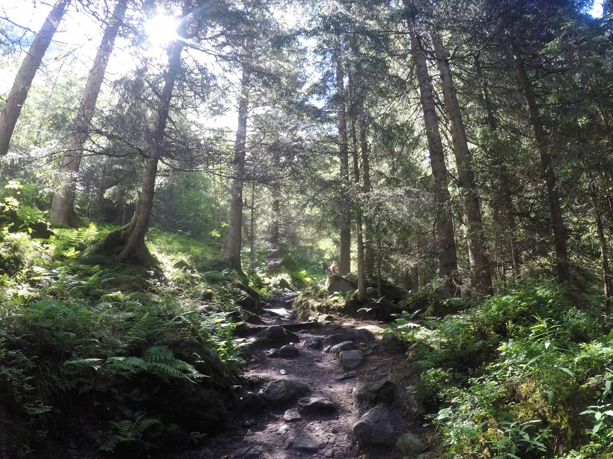
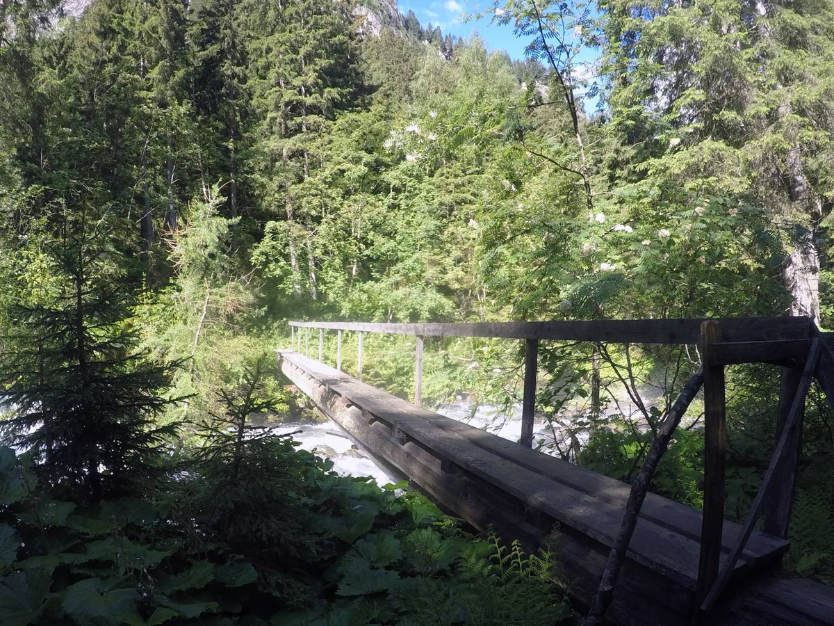
Start the hike through the woods as it slightly increases in height. You will find some shooting boxes for hunters along the way as you walk through the woods
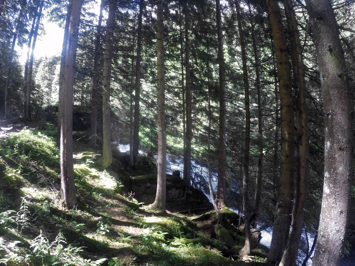
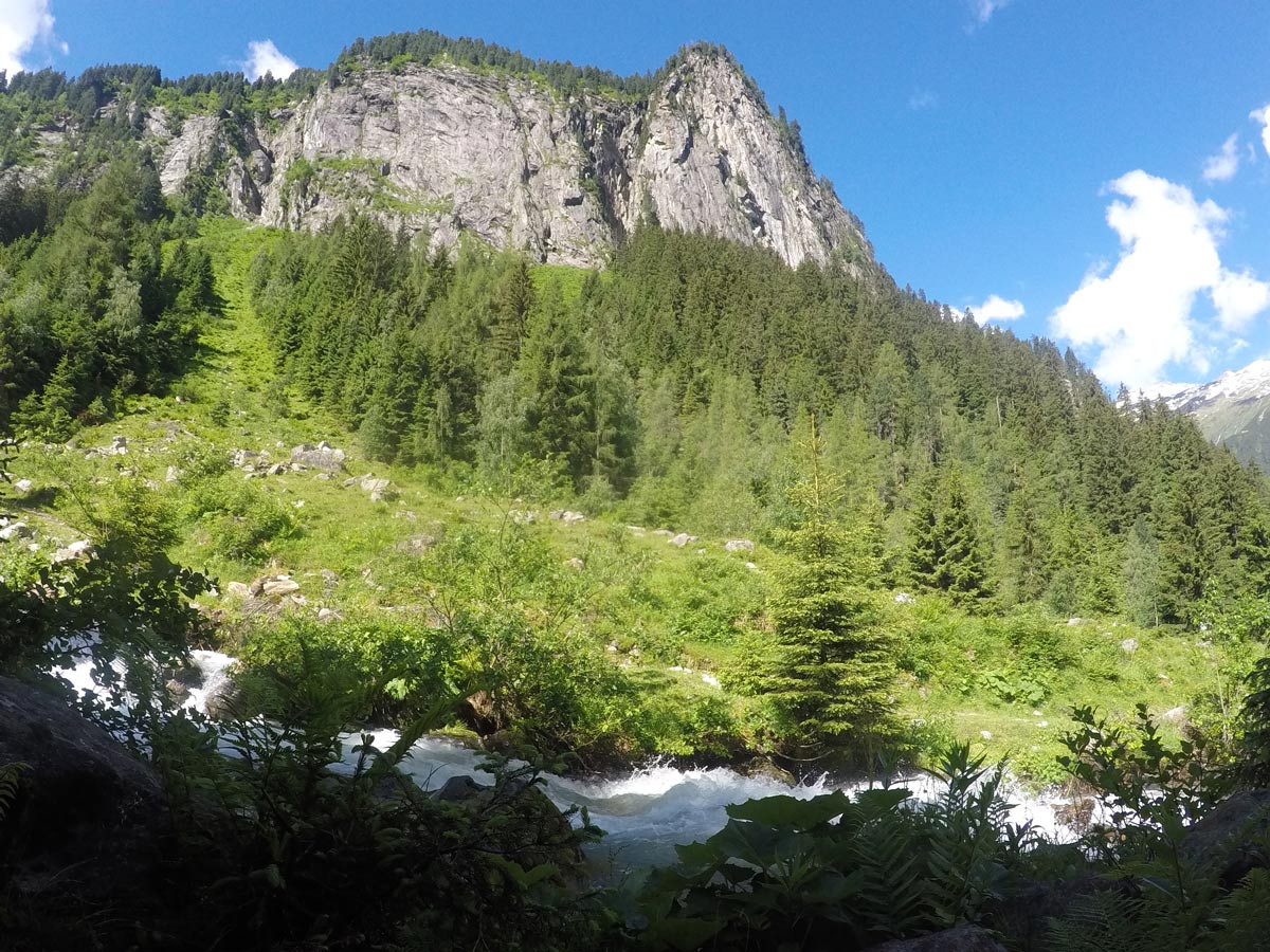
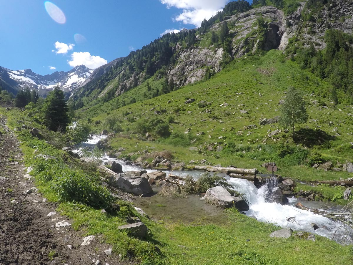
After 0.6mi, the path leads next to the stream. It may have a lot of water in it during springtime and is great to watch from distance.
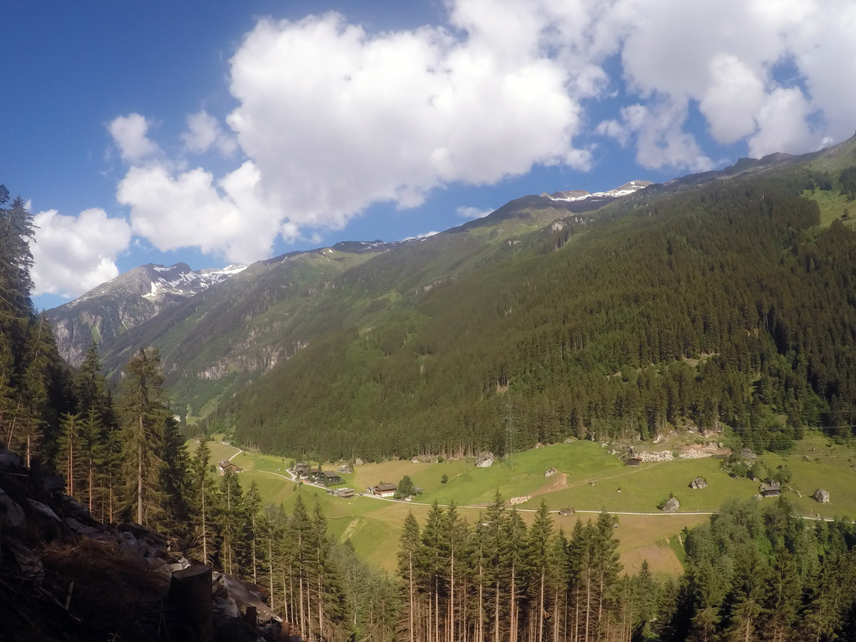
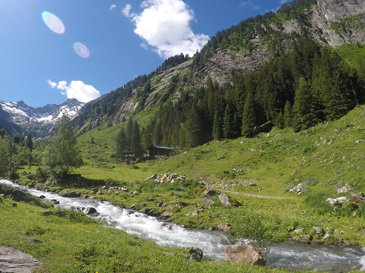
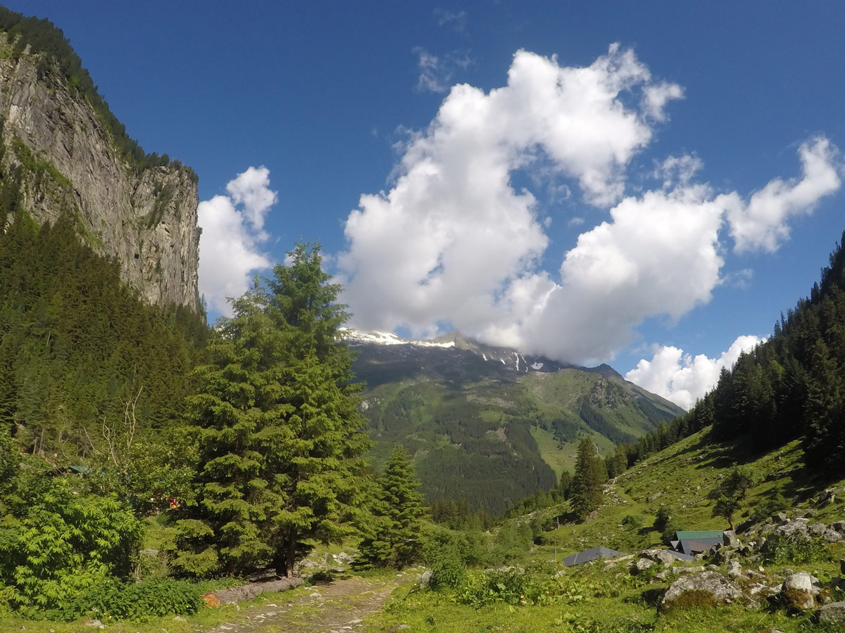
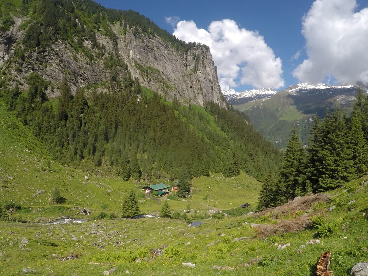
A little further on you reach the edge of the forest, where you can already spot the Maxhütte.
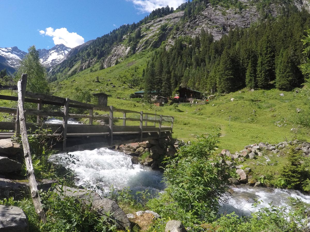
Cross a bridge to get over the stream and enjoy your day with a snack or a cold beverage at the mountain hut. There are cold beer, freshly baked goods, and some say this is the best goulash in the Zillertal.
The views up the valley are spectacular.
Return the same way down.
Insider Hints
This is a good hike for children who can handle some steep sections. Lots to see and explore around the hut.
The stream can be very dangerous if there is a lot of water after winter time but if you stay on the path you will be fine.
Due to lots of roots on the path, this hike is not able to be done with a stroller.

Similar hikes to the Maxhütte Hike hike
Panoramaweg Penken Hike
If you are looking for an amazing family day with your kids near Mayrhofen, then Penken is the destination to…
Themenwanderung Bergmähderweg Hike
This stunning hike starts with a great view of the Zillertal Alps. Along the Themenwanderung Bergmähderweg, you will cross several…
Kleiner Gilfert Hike
The hike up to Kleiner Gilfert is a great, gentle hike starting with a wide path that spreads almost all…
Audrey Osullivan 4 years ago
Stunning area, you can relax here and enjoy the beautiful view
Cloudhigh 4 years ago
Lovely Hike and lots of things to do and see.
Kamil Blajak 4 years ago
Good hiking destination with great views
Gilberto Fattore 4 years ago
We enjoyed a stunning view of the forest and the mountain
Andrea R 4 years ago
This hike was fantastic and views from the mountain were beautiful
Edmund D. 4 years ago
Absolutely pleasing hike! I enjoyed it a lot.
Axel Ross 4 years ago
Alpine forest and meadows are beautiful. Such a wonderful experience!
Aria Z. 5 years ago
AMAZING trail. The path is perfect. Nice simple hike with couple of great spots for a picnic.
Issa Deraulo 5 years ago
This is a brilliant hike! Perfect for families.
Lowell Hans 5 years ago
The views were stunning from the summit! Did this with my wife and it was fun.