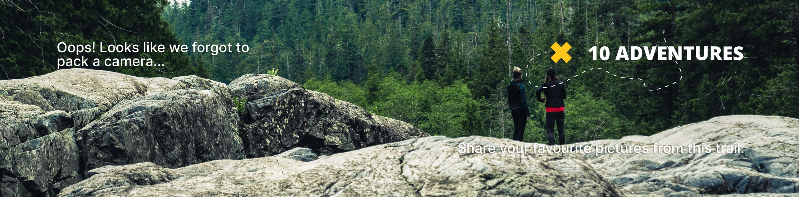
Karst Spring Trail
View Photos
Karst Spring Trail
Difficulty Rating:
Karst Springs trail is a beautiful hike that goes past Watridge Lake to a natural piped spring, where you can enjoy fresh mountain water. This is a great trail for beginners and those who are looking for a relaxing trip while exploring Kananaskis.
Getting there
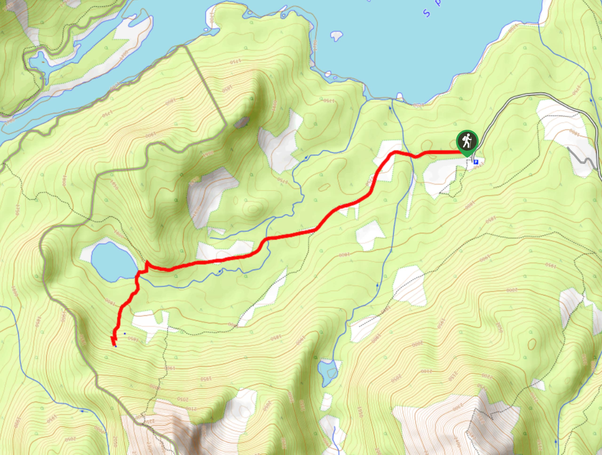
To get to the Karst Spring Trailhead from the town of Canmore, make your way to the Nordic Centre and Join the Spray Lakes Road. From here, travel 21.7mi to Mount Engadine Lodge and turn right. Follow signs for Mount Shark and continue beyond the helipad to the main parking area.

About
| When to do | May-November |
| Backcountry Campsites | No |
| Pets allowed | Yes - On Leash |
| Family friendly | Yes |
| Route Signage | Average |
| Crowd Levels | Moderate |
| Route Type | Out and back |
Karst Spring Trail
Elevation Graph
Weather
Karst Spring Trail Description
From the parking area, find the Watridge Lake trail as this will be the main route you follow. Begin on a wide open decommissioned road before joining the single track trail to the lake. After 1.1mi, you will come to the junction for the Mount Shark trail, and you’ll want to stay right towards Watridge Lake. A junction to the Spray River appears 2.2mi from the trailhead; however, you will want to stay left for the lake, which will appear in a few hundred metres. Enjoy the lake and continue 2625ft on a steady incline to the end of the trail where the spring is. Fill up your bottles and enjoy the crisp, clean mountain water on your way back to the trailhead.
Similar hikes to the Karst Spring Trail hike
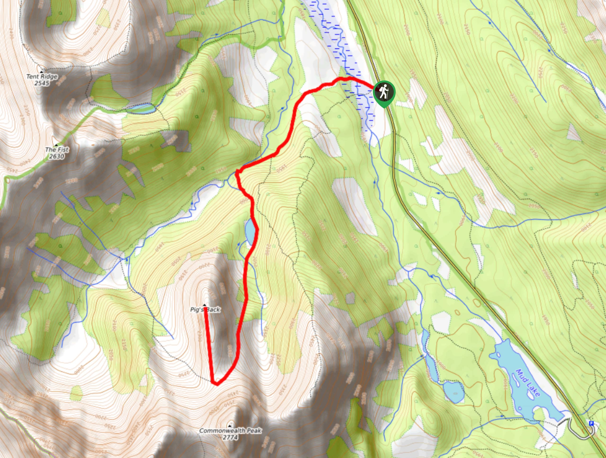
Pig’s Back Trail
The Pig’s Back is a route to a prominent feature along the Commonwealth Ridge Traverse. You will hike up Commonwealth…
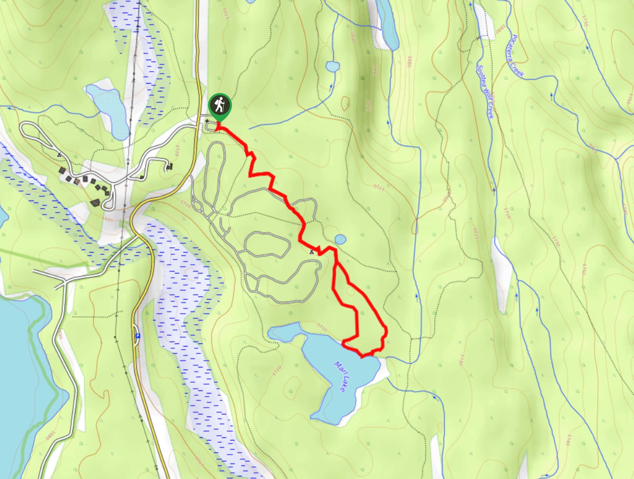
Marl Lake Trail
The Marl Lake trail is a moderately trafficked trail near Lower Kananaskis Lake that is accessible for all abilities. It…
Tryst Lake Trail
The trail to Tryst Lake is used year-round by many different types of adventurers. The summer trail is easy to…
Comments