West Wind Pass hike
View Photos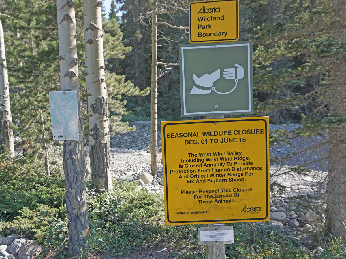
West Wind Pass hike
Difficulty Rating:
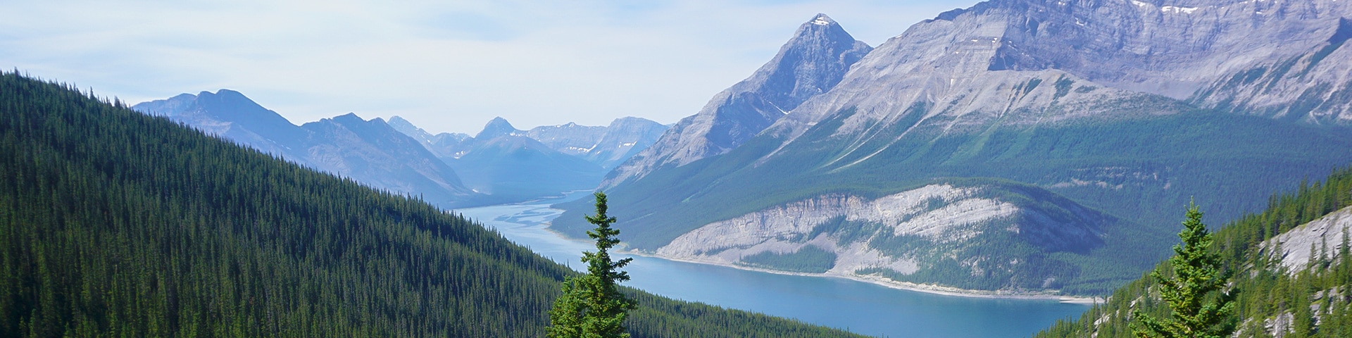
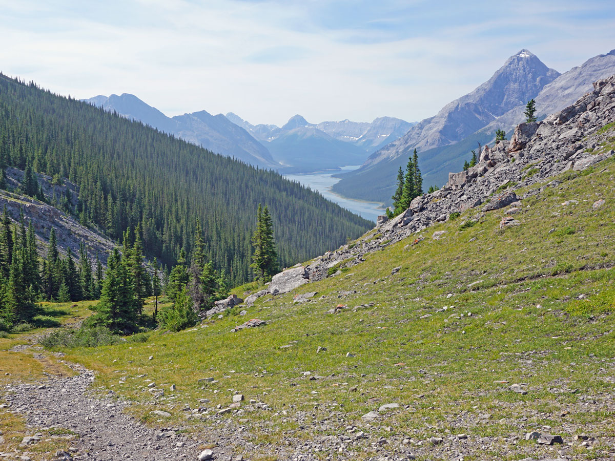
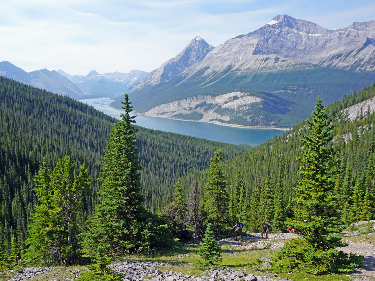
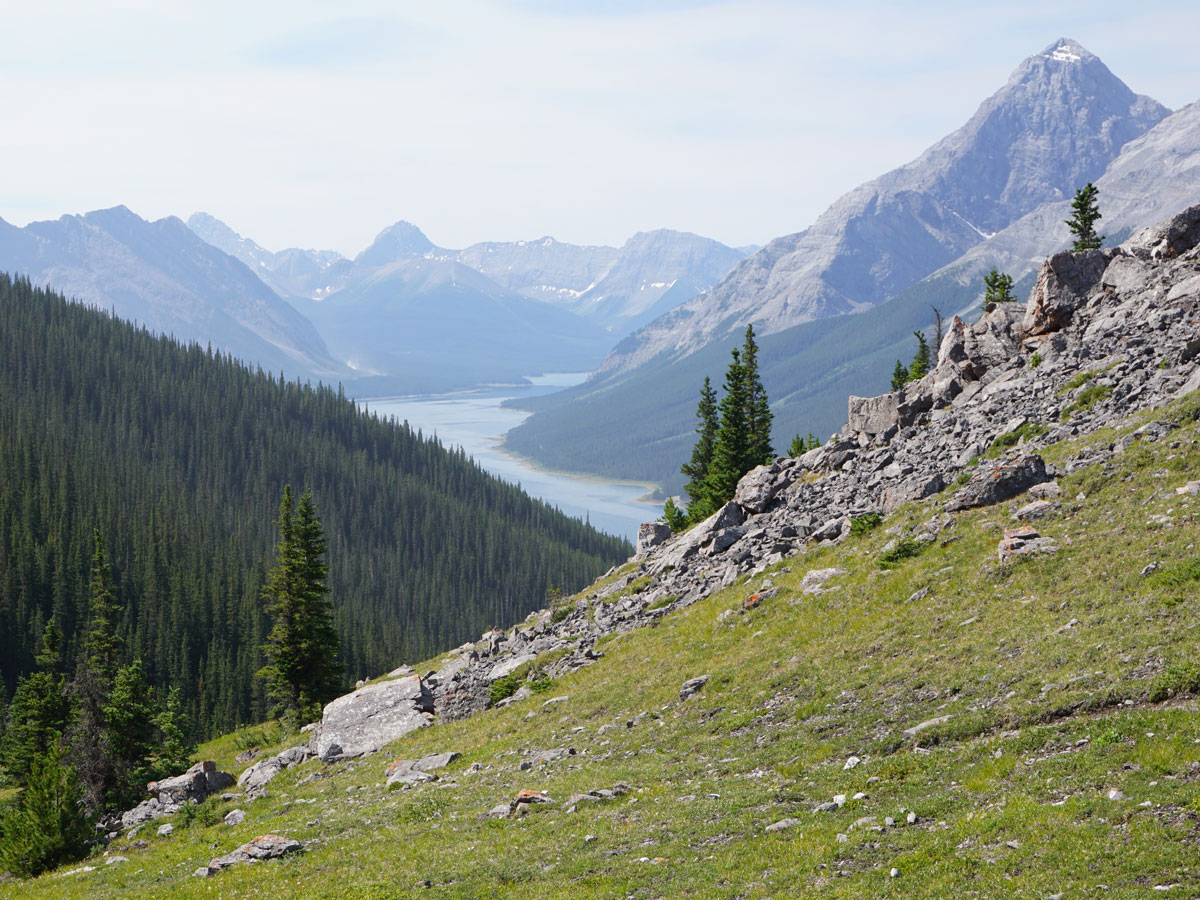
West Wind Pass is a great hike! It’s not too busy and is a perfect hike for people who want to get stunning views without a ton of elevation gain. We love the vista back to the Spray Lakes Reservoir as well as at the views from West Wind Pass itself.
Getting there
From the Canmore Nordic Centre, continue west on the Smith-Dorrien (Hwy 742) as it winds up into the Spray Valley for 11.5mi. You’ll notice cars parked on both sides of the highway, with a pull-out to your right, adjacent to Spray Lake. There is no signage for this parking.

About
| When to do | June 15 - October |
| Backcountry Campsites | No |
| Toilets | None |
| Family friendly | Yes |
| Route Signage | Poor |
| Crowd Levels | Moderate |
| Route Type | Out and back |
West Wind Pass
Elevation Graph
Weather
Route Description for West Wind Pass
For first-timers, just finding the right parking lots can be a challenge when you’re hiking to West Wind Pass. Luckily, on weekends there are usually a fair number of other cars of hikers going to West Wind Pass or up Rimwall or Windtower.
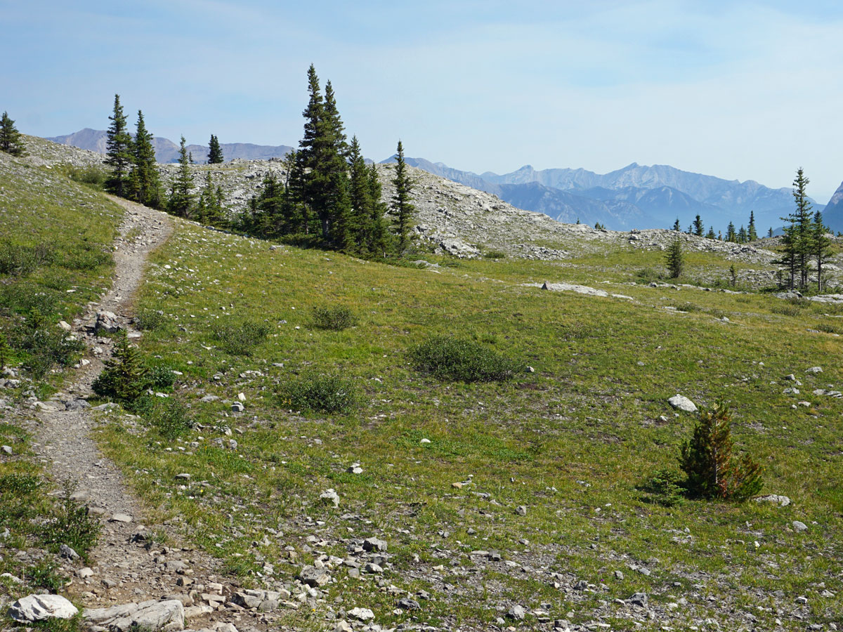
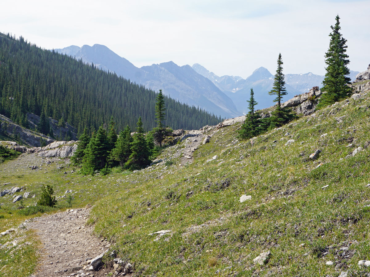
The hike starts in the trees across the road, and immediately comes to a sign stating that the West Wind Valley is closed from December 1st to June 15th. The path heads up through the trees, with Spurling Creek to your right, though often out of sight. Soon after you start your hike, you’ll come across the trail’s first deviation: take the right-hand route with signs west for Windy Pass.
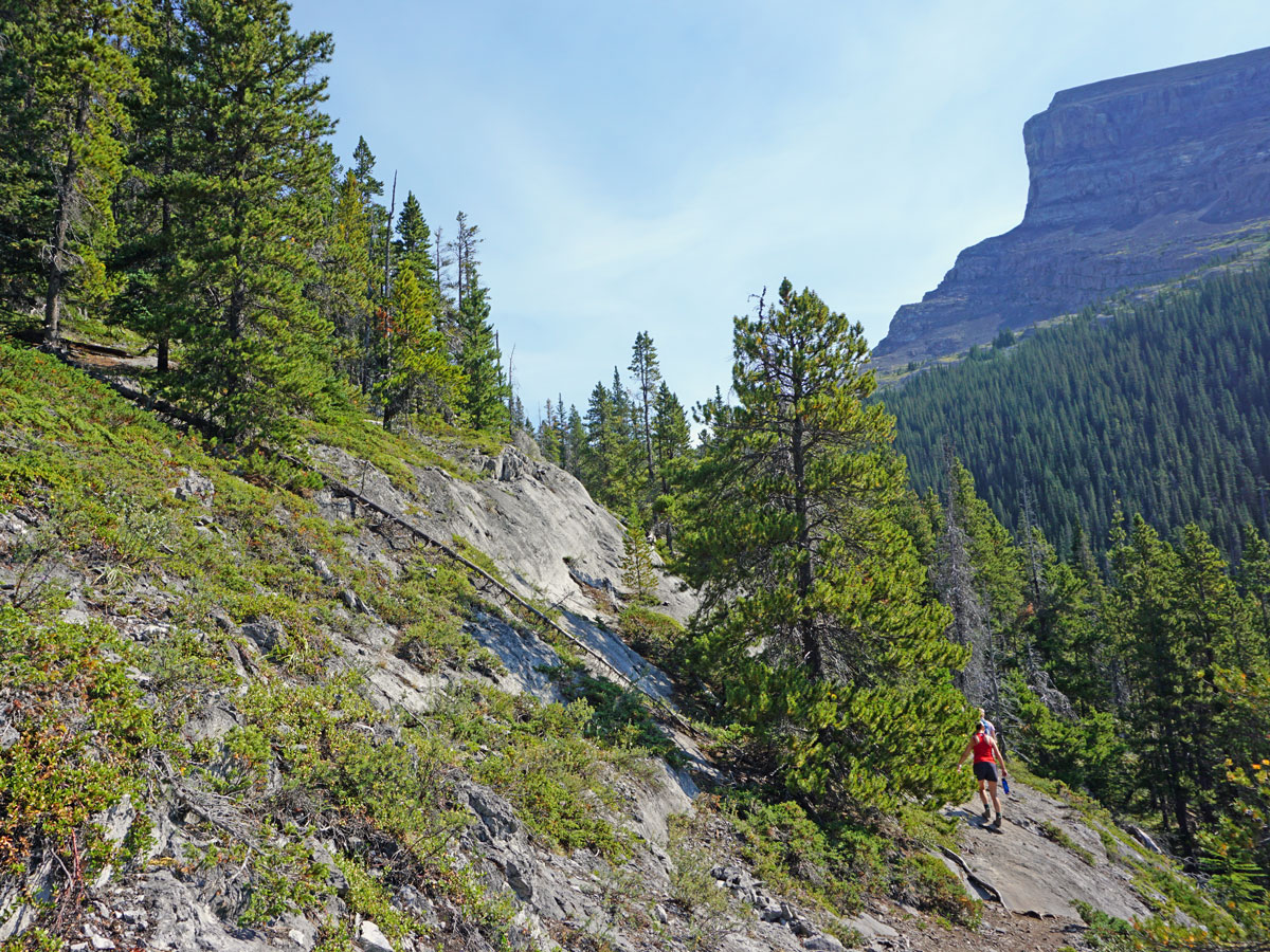
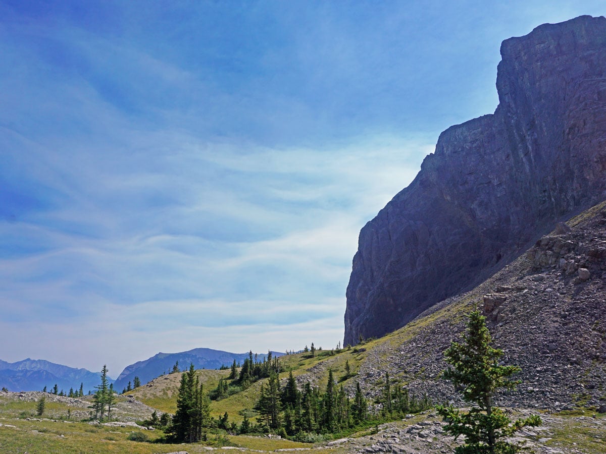
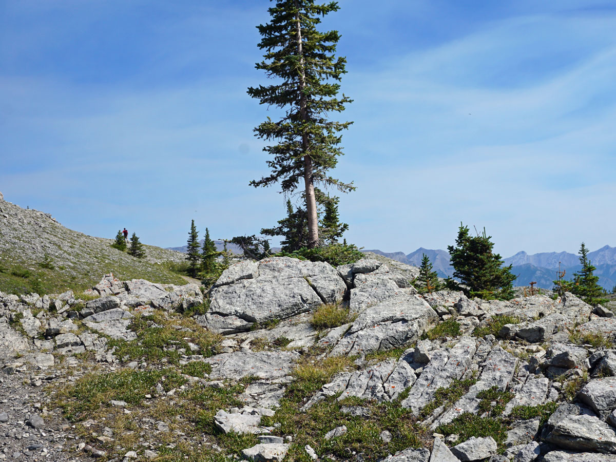
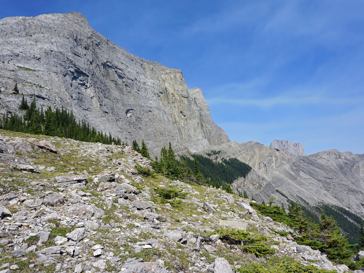
After roughly 30 minutes you’ll come to some cliff bands with the route going over them. Go across this tricky area, taking care. The path splits 10 minutes later, and you can go either way, however we prefer to take the lower of the two paths.
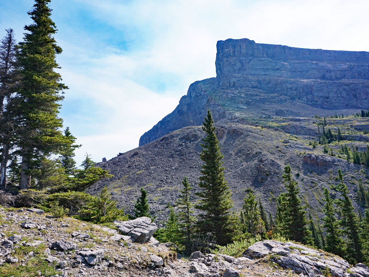
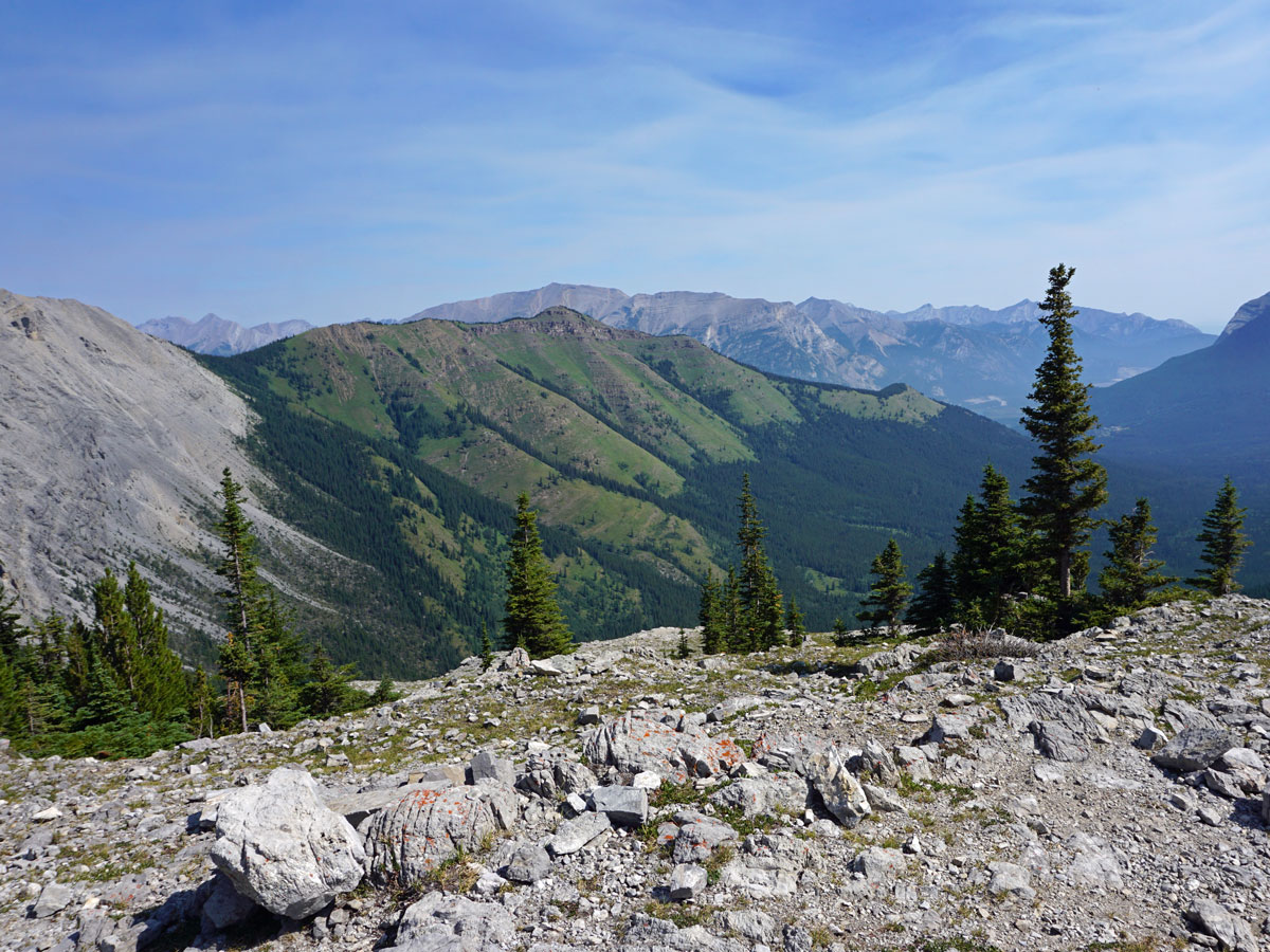
Continue heading uphill following the path. As you come to West Wind Pass (also known as Windy Pass), you’ll notice a large mountain on the right, this is Windtower. To your left is the Rimwall, and the path you see heading up it is the Rimwall Ridge Route. Continue to follow the well-defined path to the right as it comes to West Wind Pass.
Once you get to West Wind Pass, you will appreciate the beauty. You can continue along the path over West Wind Pass for a short while to let the views expand in front of you in the Wind Valley! We love a break here.
From the West Wind Pass, hike back down the way you came.
Check out other amazing hikes in Kananaskis – Smith Dorrien:
Insider Hints
Consider taking poles, as they help getting across the small cliff bands.
It can get hot on this hike, as it’s west-facing and exposed. Consider bringing some swimming trunks and a lot of courage to swim in the chilly Spray Lake down by the car.
Really hot days may need slurpees after this hike. You can get your slurpee fix at the Mac’s store in Canmore on Bow Valley Trail, in a strip mall just off of Railway Ave.

Similar hikes to the West Wind Pass hike
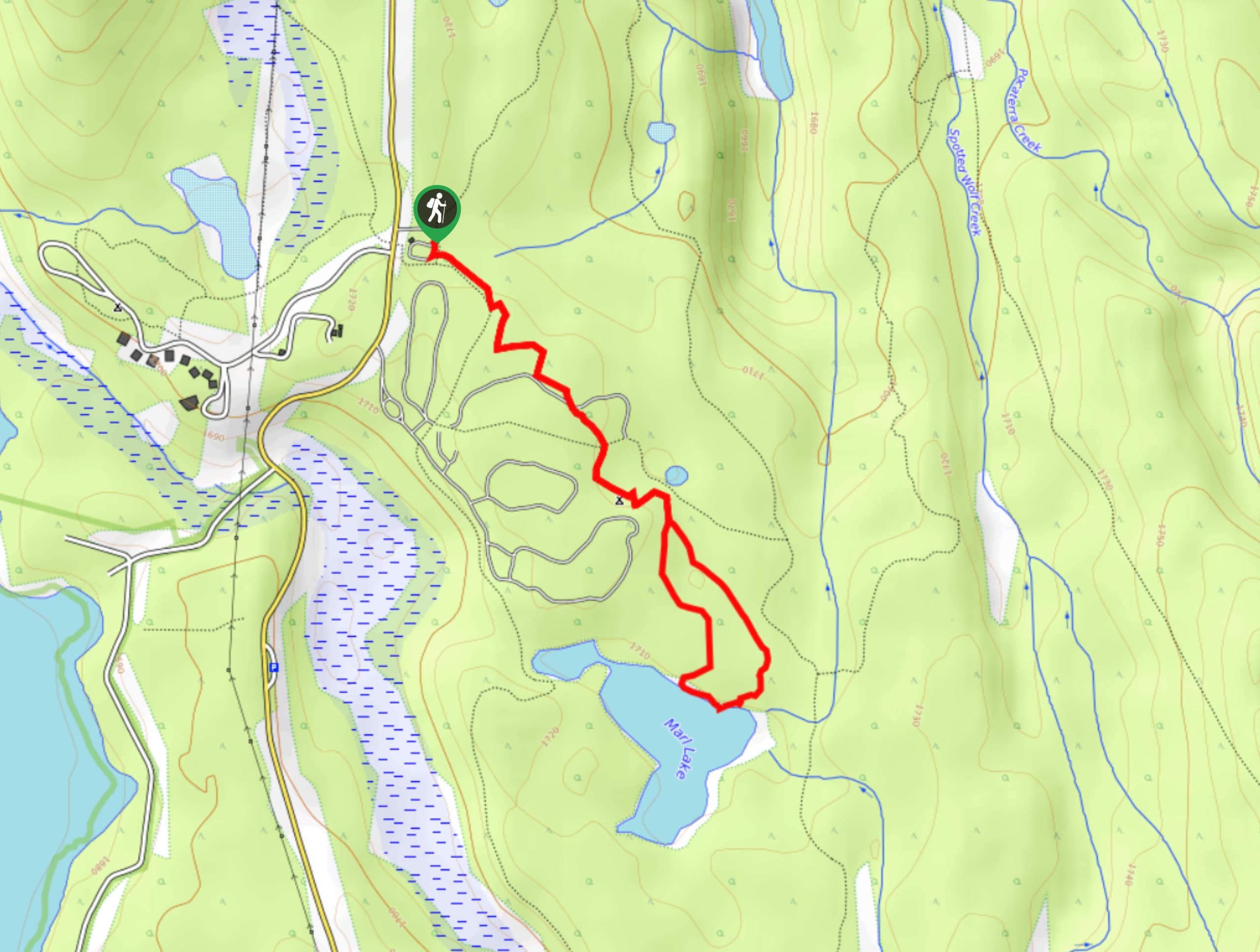
Marl Lake Trail
The Marl Lake trail is a moderately trafficked trail near Lower Kananaskis Lake that is accessible for all abilities. It…
Tryst Lake Trail
The trail to Tryst Lake is used year-round by many different types of adventurers. The summer trail is easy to…
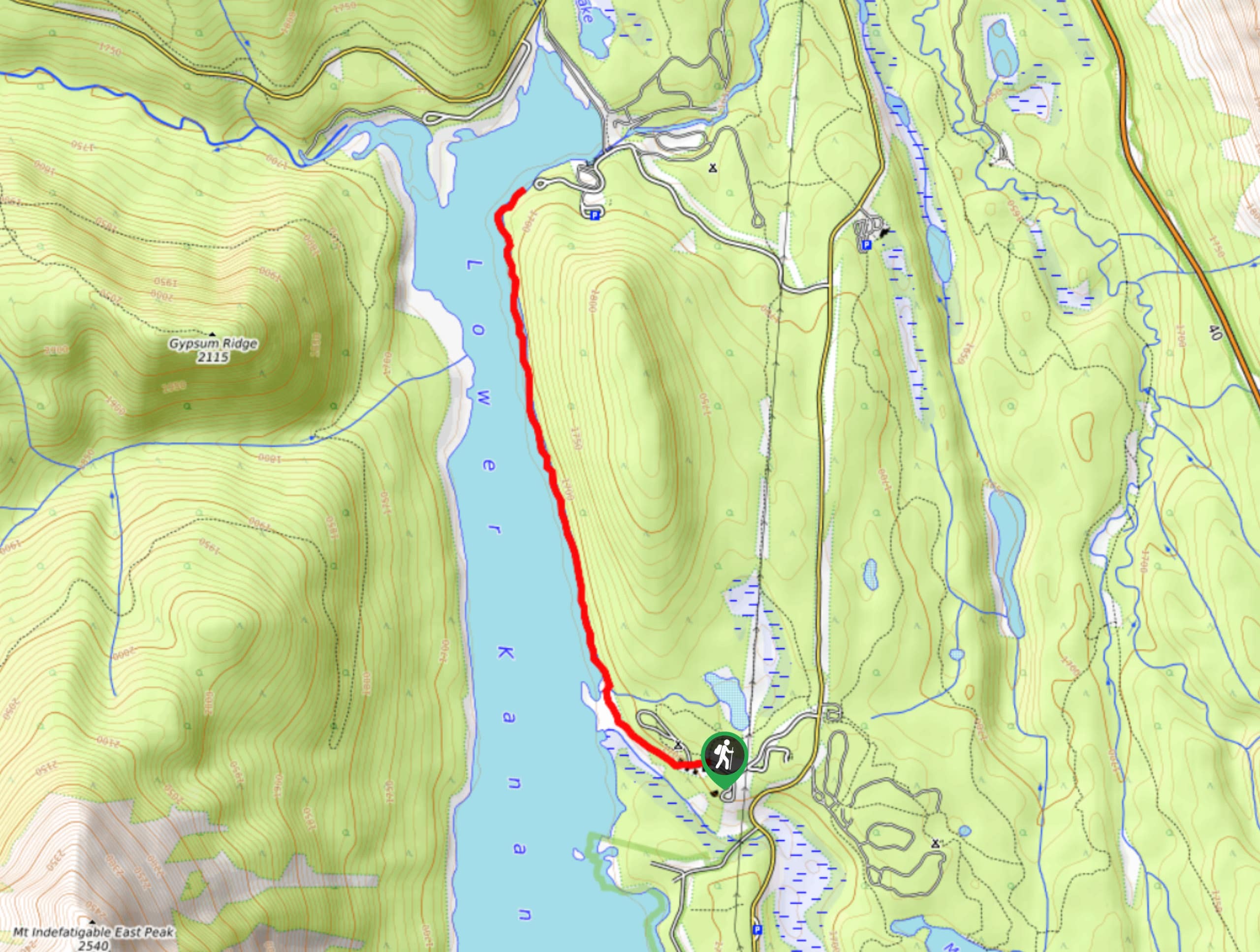
Lower Kananaskis Lake Trail
The Lower Kananaskis Lake trail follows the lakeshore between William Watson Lodge and Canyon Creek campground. The trail has educational…
mallorykirzinger 4 years ago
Overal easy hike up to the pass. It was pretty busy when I was there. From the pass you can continue up the switchbacks to the top of Windtower- I did this on a whim and it was exhausting but very beautiful!
Richy_travels 4 years ago
West Wind Pass is an exciting hike with stunning views.
JohnCan 4 years ago
It is bewildering! One of the beautiful scenery I've seen soo far.
PeterHopkins 4 years ago
Perfect hiking destination! Spray Lakes Reservoir and West Wind Pass are astounding!
Luna M. 4 years ago
If you're not sure whether to go, GO, this place is breath-taking.
Sean Kater 4 years ago
The views are very dramatic in the morning. I highly recommend going early to avoid the heat and the crowd.
Soli Petravron 4 years ago
West Wind Pass offers amazing views. Bring poles, as they help to get across the small cliff bands. Get your Slurpee at Mac’s store in Canmore on Bow Valley Trail.
LaylaP. 4 years ago
Loved the views and the fresh air. I had a nice time and the weather was chilly-perfect!
Coll A. 4 years ago
The weather is perfect so we had a perfect view too. It was an easy trail to follow. Love the experience.
Leonard J. 4 years ago
It was easy for the kids! Not so long too!