
Rummel Lake Hike
View Photos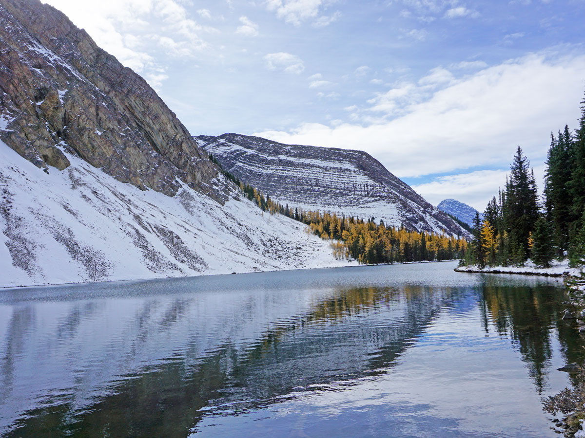
Rummel Lake Hike
Difficulty Rating:
The hike to Rummel Lake is a Kananaskis classic, with people returning year after year. The colours in autumn are spectacular, and if you have the energy push the trip a bit farther up to Rummel Pass for very special views.
Please note that this route is not maintained during the summer.
Getting there
To get to Rummel Lake trailhead, from the Canmore Nordic Centre, continue west on the Smith-Dorrien (Hwy 742) as it winds up into the Spray Valley for 22.1mi. You’ll notice a turn-off to your right for Mount Engadine Lodge. Park on the Smith-Dorrien or turn-off and park just before or after the bridge crossing.

About
| When to do | Year Round |
| Backcountry Campsites | No |
| Toilets | No |
| Family friendly | Older Children only |
| Route Signage | Average |
| Crowd Levels | Moderate |
| Route Type | Out and back |
Rummel Lake Hike
Elevation Graph
Weather
Route Description for Rummel Lake Hike
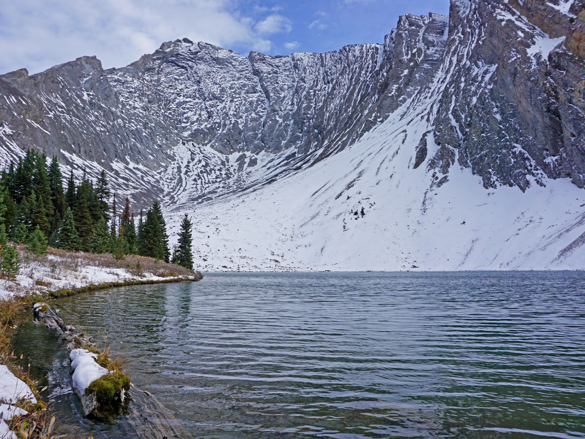
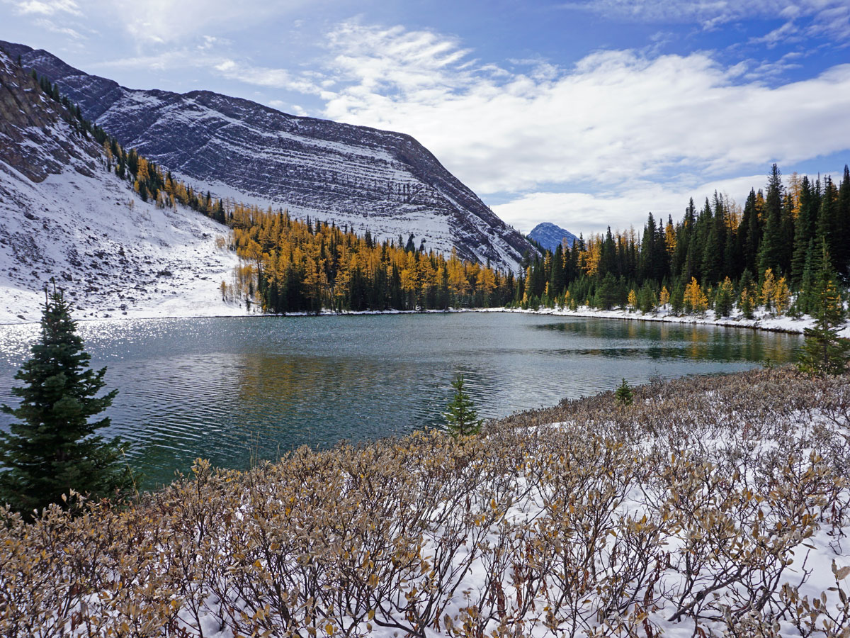
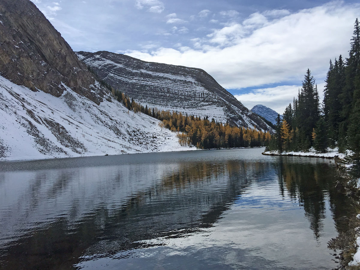
Rummel Lake hike is a popular summer trail as well as a popular snowshoe in winter. The views at the lake are spectacular, and the trail to the lake in winter is rated as simple avalanche terrain, provided you stay on the path.
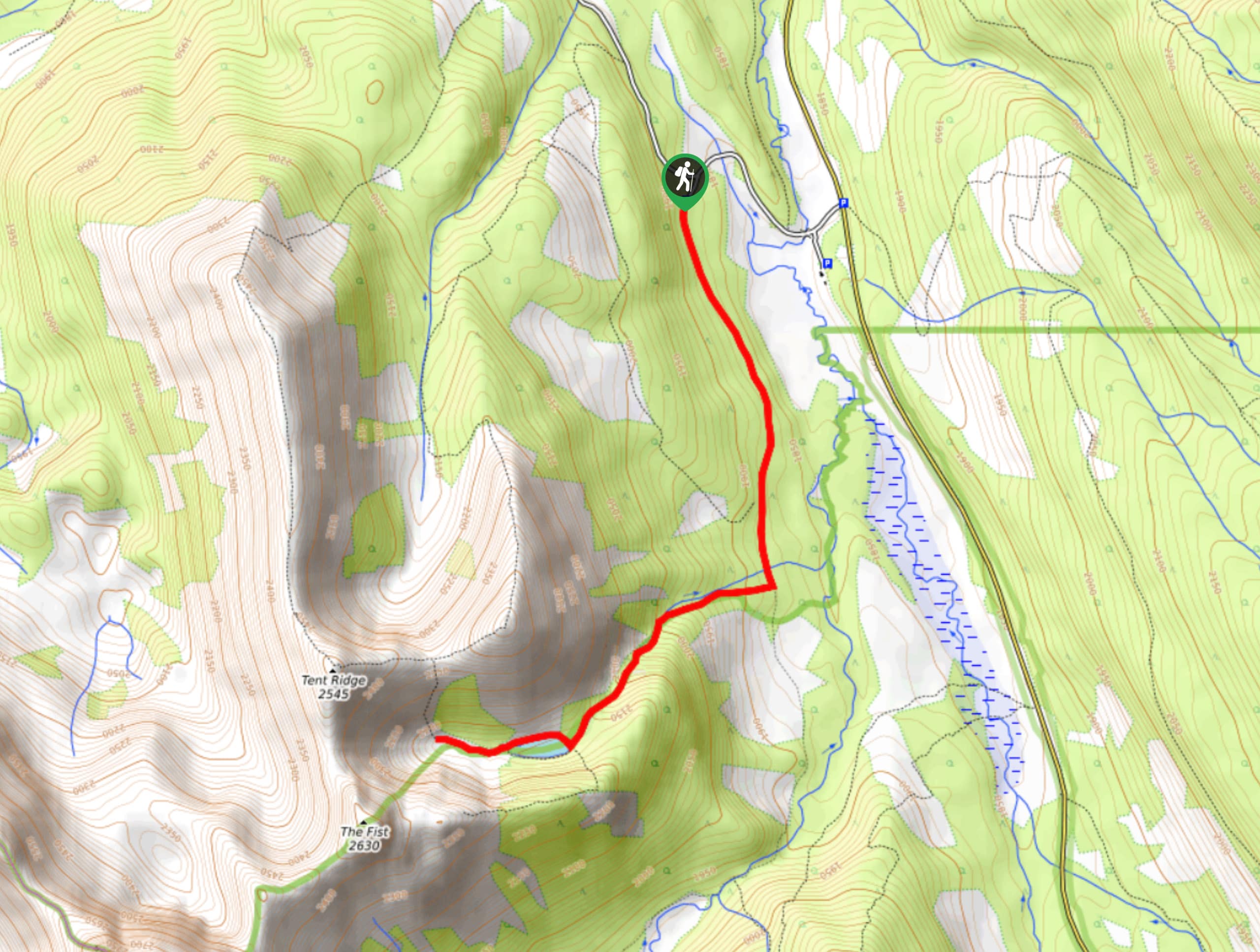
We normally park on road to Mount Engadine Lodge, as that way our cars don’t get as dirty here as they do on the Smith-Dorrien.
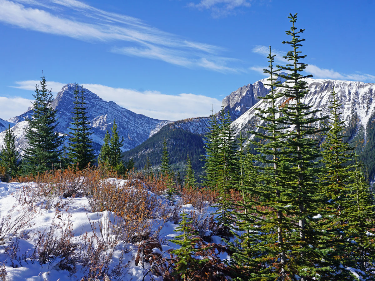
Walk back to the Smith-Dorrien and cross the trail and take a path that heads off into the forest. The path is clear to follow as it heads SE and then switchbacks up to a NE direction. The trail is a good slope and not too steep, so you can make good time here.
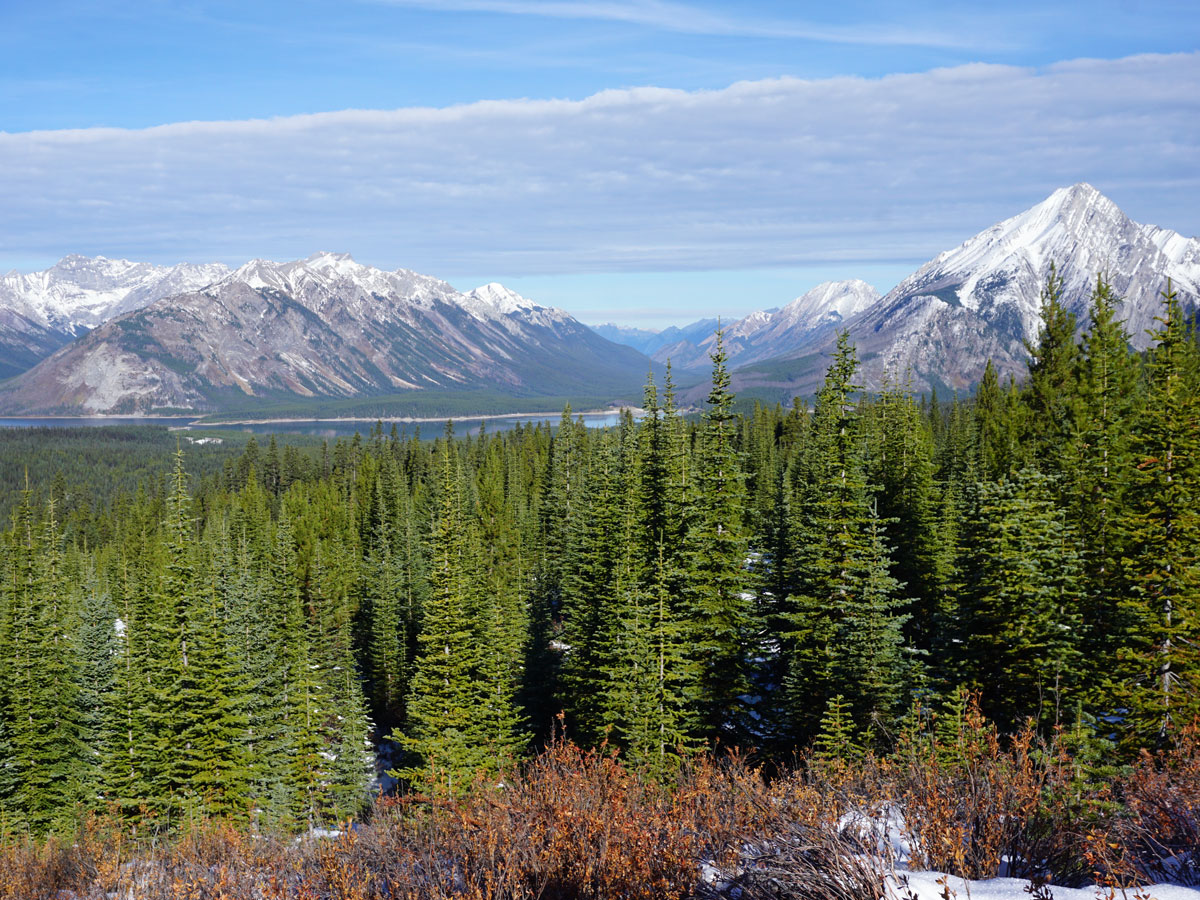
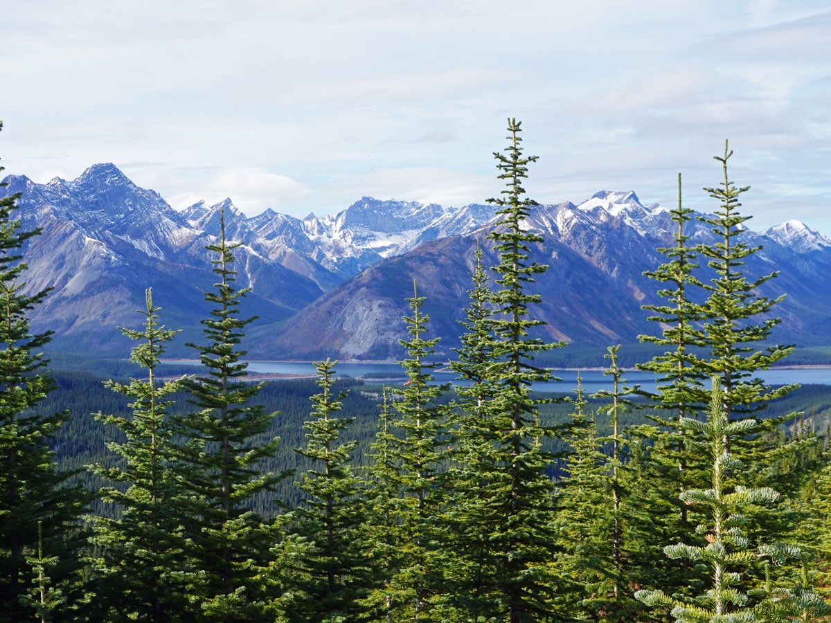
As you hike up, you go through an old cut-block, which means you get some lovely views back towards Tent Ridge and the Spray Lakes Reservoir.
After roughly 1.7mi, the trail heads SE again, running above Rummel Creek.
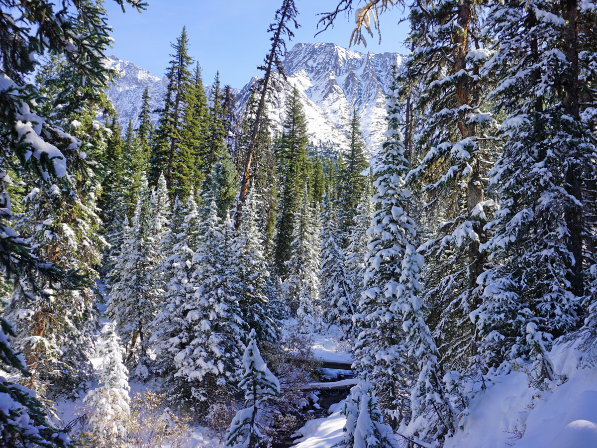
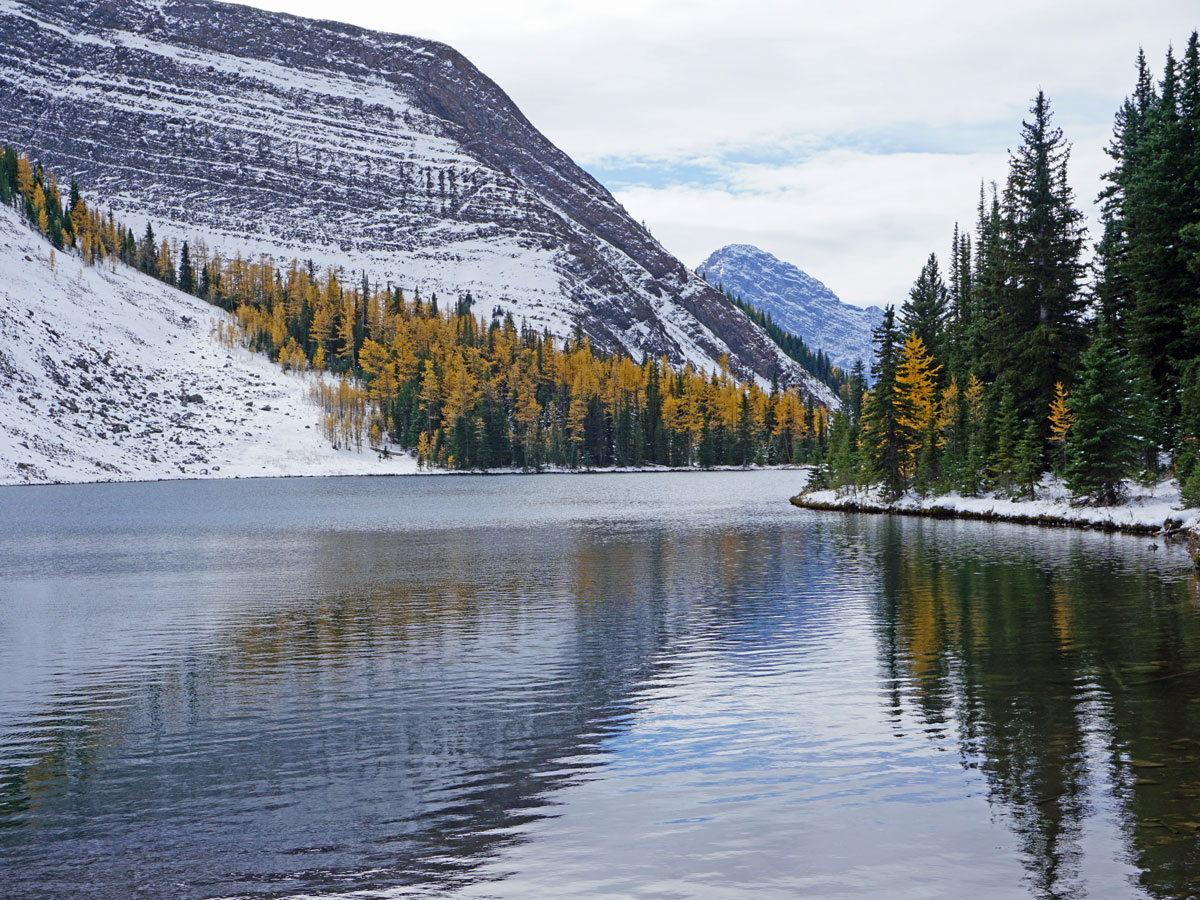
After roughly 1.2mi the Rummel lake trail comes down and you cross Rummel Creek. The winter trail (shown in yellow) goes across the bridge and through the trees to Rummel Lake. In summer, there is a much more scenic hikers trail that goes right just before Rummel Creek and takes an alternate approach to Rummel Lake. If it’s dry out then take the more scenic hikers route, though also with a somewhat narrow ledge that some people may not enjoy. The hikers’ route has avalanche danger so keep clear when there is still snow up high above you.
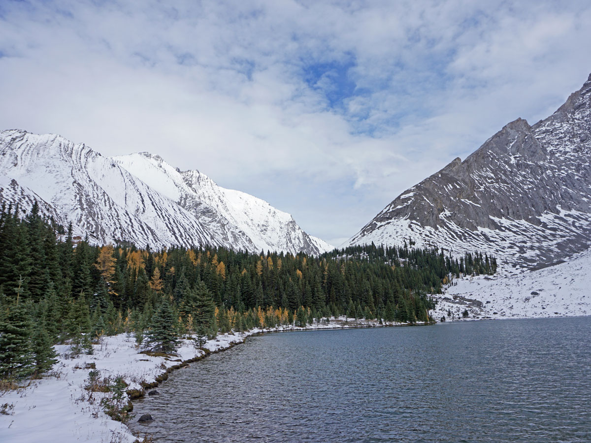
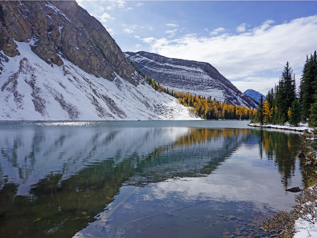
Whichever way you go, you are soon on the shores of Rummel Lake. It is worthwhile to walk along the entirety of Rummel Lake, as the views change as you walk along it. Our favourite views are at the far end, though there is the danger of rockfall here.
Return the way you came.
Check out other amazing hikes in Kananaskis – Smith Dorrien:
Insider Hints
If you have the energy, the path up to Rummel Pass and Lost Lake is stunning. The path up leaves from the western part of Rummel Lake. The route to Rummel Pass has avalanche danger, and should only be attempted in summer.
You could make a backpacking route over Rummel Pass to Galatea Lakes, over Guinn’s Pass to Ribbon Lakes and then up to Buller Pass and down to the Smith-Dorrien, with a 2.4mi walk along the Smith-Dorrien to your car. Talk about incredible views! There is some route-finding to Lost Lake though. Let us know if you’ve done it!

Similar hikes to the Rummel Lake Hike hike
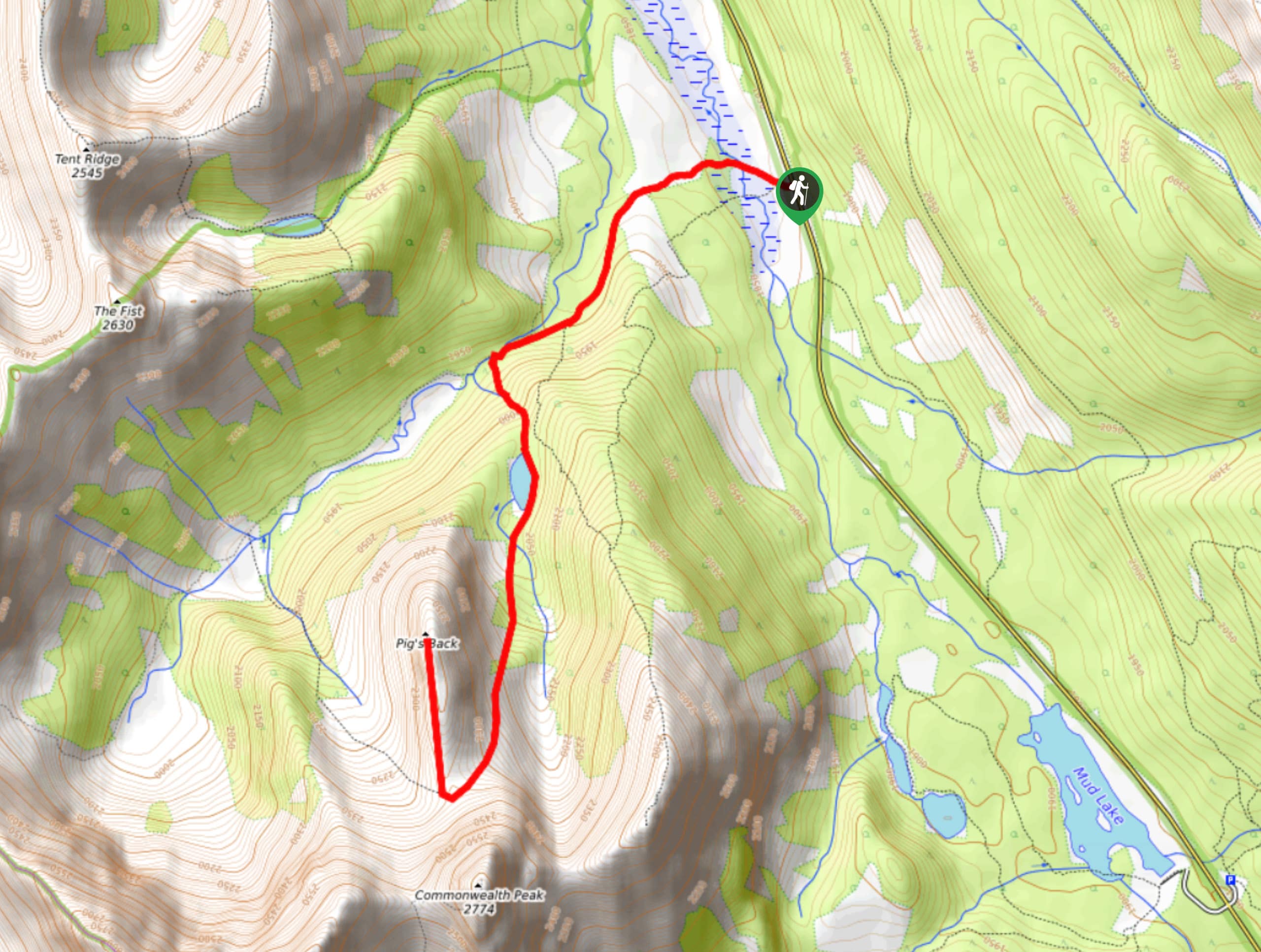
Pig’s Back Trail
The Pig’s Back is a route to a prominent feature along the Commonwealth Ridge Traverse. You will hike up Commonwealth…
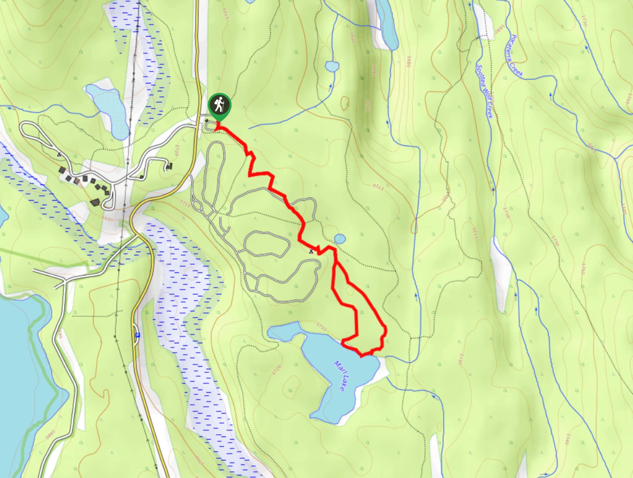
Marl Lake Trail
The Marl Lake trail is a moderately trafficked trail near Lower Kananaskis Lake that is accessible for all abilities. It…
Tryst Lake Trail
The trail to Tryst Lake is used year-round by many different types of adventurers. The summer trail is easy to…
DesireeD. 4 years ago
We did this hike few years ago during summer, and it was awesome!
Soli Petravron 4 years ago
Would like to take a hike here next summer. Incredible view of the lake. The weather was perfect as well.
Margaret Theroux 4 years ago
Very nice, expecially in the fall. We went up to the pass the second time we came and it was beautiful. Weather was variable.
Sidney A. 4 years ago
If you plan to hike here in autumn, the views are spectacular. The trail to the lake in winter is rated as simple avalanche terrain. Some path has avalanche danger so keep clear when there is still snow up high above you.
Perry K. 5 years ago
The lake is magnificent. There's a perfect spot near the end for a great view. However, there's a danger of rockfall.
Tim 5 years ago
Your car is going to get dirty on that road wherever you park there