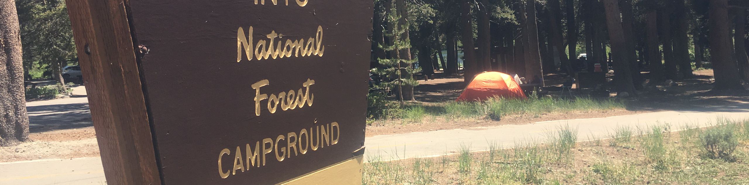
Twin Lakes Campground Trail
View Photos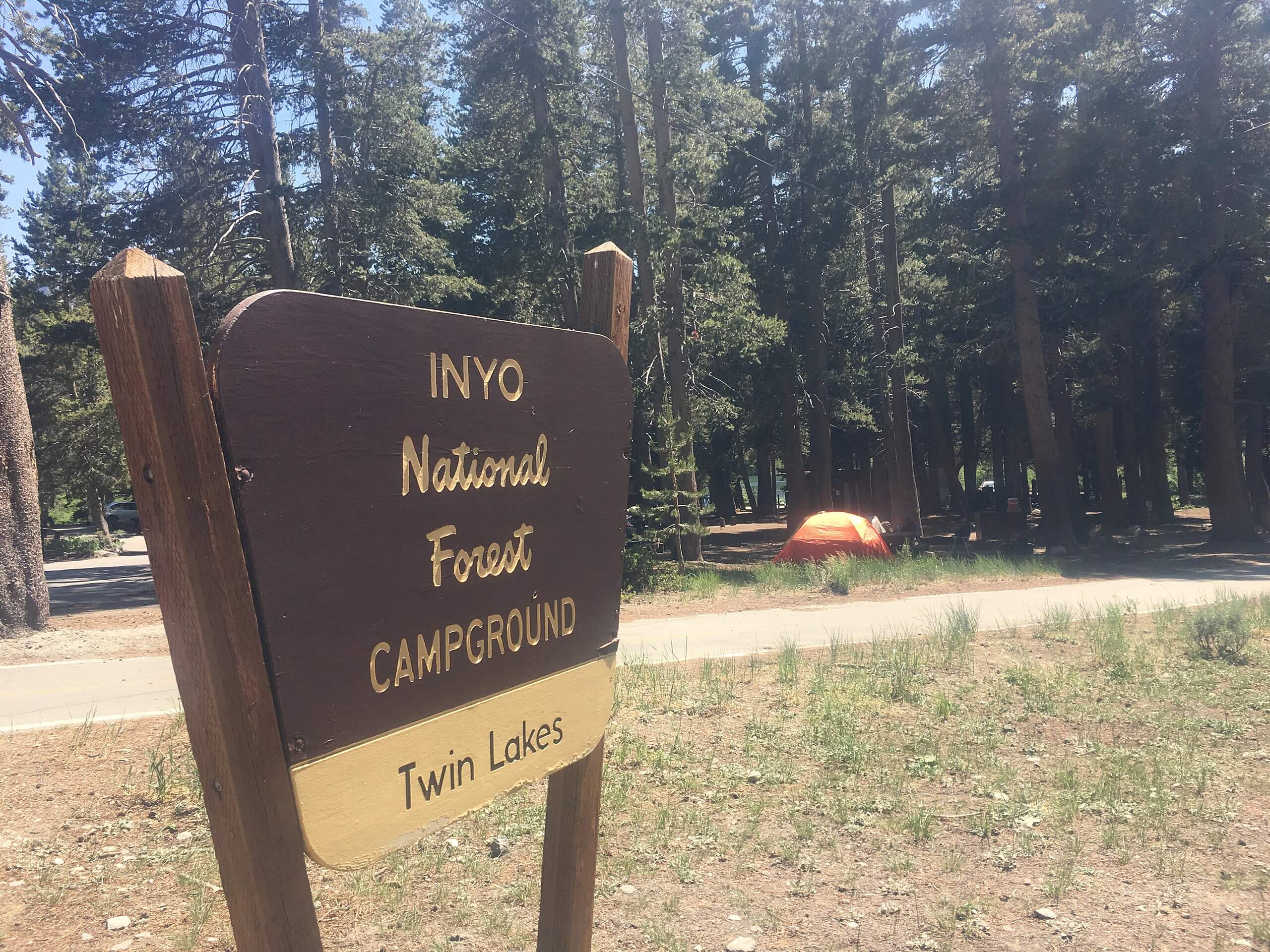
Twin Lakes Campground Trail
Difficulty Rating:
With great views of the surrounding Sierra Nevada Mountains, the Twin Lakes Campground Trail is an excellent choice for your next hike in Inyo National Forest. Traversing the shorelines of three charming lakes, the route is considered to be a moderately difficult trail that is ideal for intermediate hikers and families with older children.
Getting there
The trailhead for Twin Lakes Campground Trail is located off of Lake Mary Road.

About
| Backcountry Campground | |
| When to do | June-November |
| Pets allowed | Yes - On Leash |
| Family friendly | Older Children only |
| Route Signage | Poor |
| Crowd Levels | Low |
| Route Type | Lollipop |
Twin Lakes Campground Trail
Elevation Graph
Weather
Twin Lakes Campground Trail Description
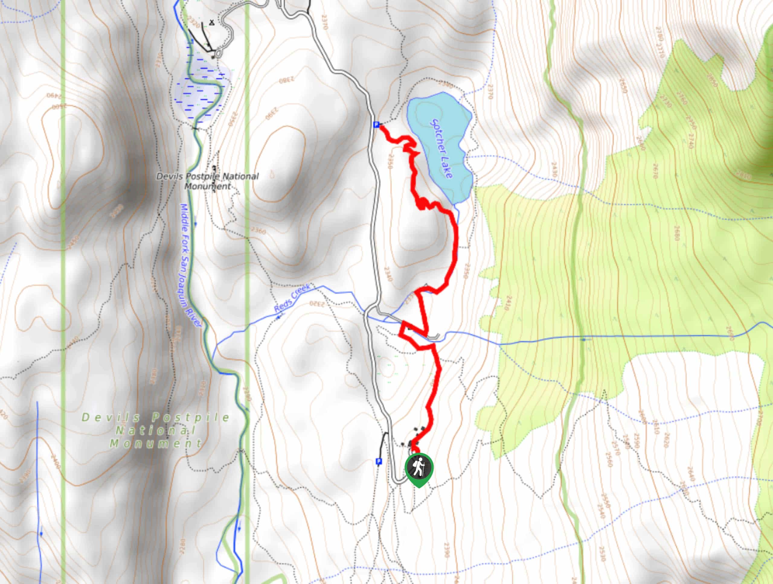
As sections of the Twin Lakes Campground Trail are not along designated Inyo National Forest pathways, navigation can be difficult at times. We therefore recommend bringing some sort of mapping tool with you in order to help aid you in your wayfinding. Likewise, depending on the time of year you plan on doing the Twin Lakes Campground Trail, the mosquitoes can be rather prolific, and so you should prepare yourself accordingly.
Having left your vehicle along Lake Mary Road, follow the Lakes Basin Path as it makes its way east. Continue on the Lakes Basin Path as it brings you to the northern shore of horseshoe Lake before arriving at a junction within the trail. At the junction, take the southern pathway onto Horseshoe Lake Trail as it makes its way alongside the western shore of Horseshoe Lake. After crossing some streams, the trail will arrive at the southern shore of the lake, where it will then steadily veer to the northeast.
The trail will arrive back at Lake Mary Road, where you will disembark off of any designated Inyo National Forest pathways, and traverse along the western shore of Lake Mamie. Follow along the shoreline of Lake Mamie until you arrive at Lake George Path – a trail located adjacent to the western most shore of Lake Mary. Once on the path, follow it towards Lake Mary road, and your waiting vehicle.
Similar hikes to the Twin Lakes Campground Trail hike

Valentine Lake Trail
An underrated route within Inyo National Forest, Valentine Lake Trail is without a doubt worth the effort! Boasting sublime scenery…

Mountain View and 3S89 Road Loop
Mountain View and 3S89 Road Loop is a delightful route within Inyo National Forest. Leading you through a lovely forested…
Dinosaur Falls Trail
Dinosaur Falls Trail is a beautiful route within Inyo National Forest. Easily accessible, the route is ideal for families with…
Comments