Lake George Trail
View Photos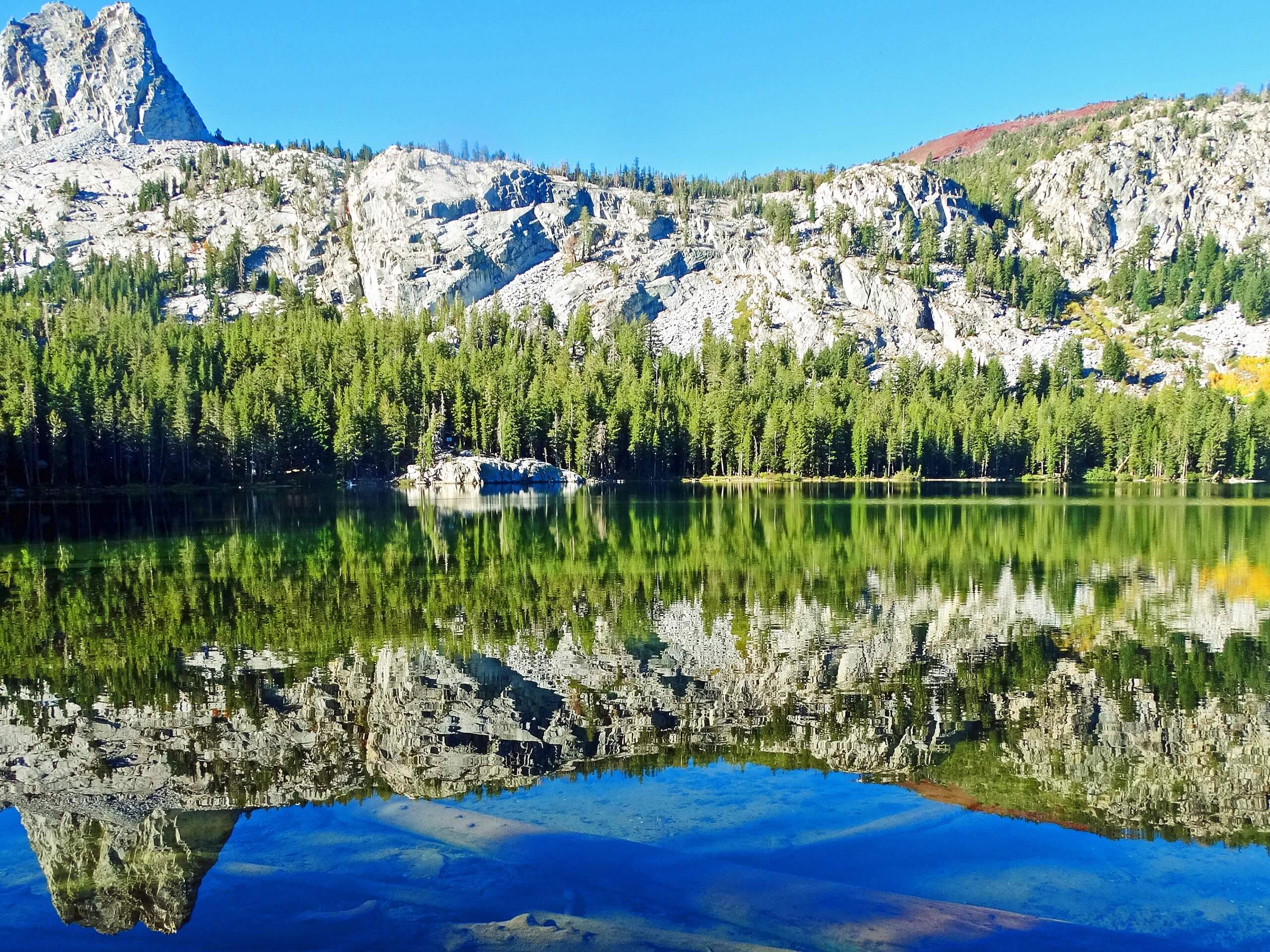
Lake George Trail
Difficulty Rating:
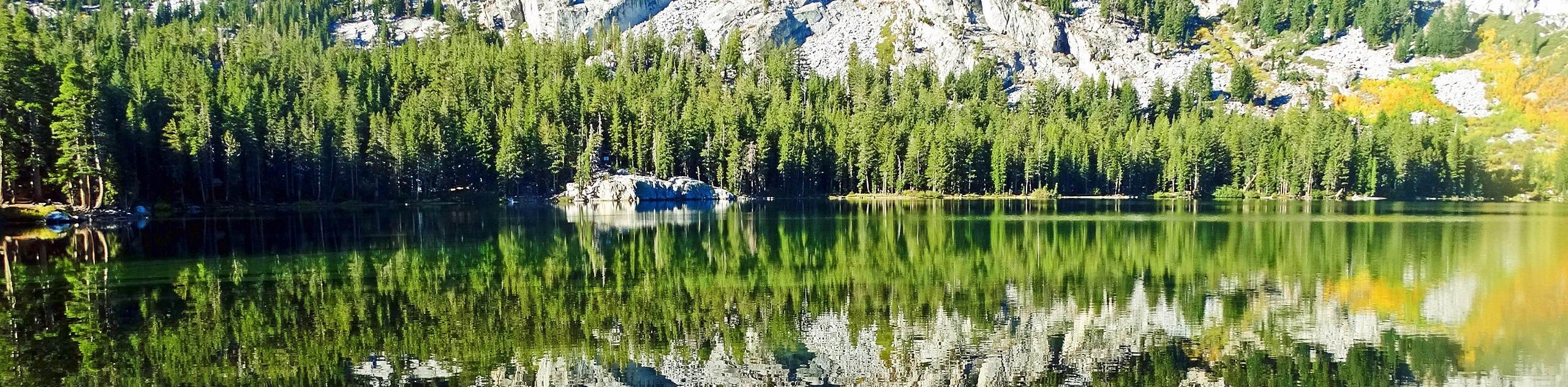
An adventurous route, Lake George Trail brings you along the shoreline of its namesake. Although relatively short and with little elevation fluctuation, the majority of the route is not on a designated Inyo National Forest pathway and so navigation can be difficult at times. Nevertheless, the scenery is beautiful and the route is regarded as an excellent place to view wildlife.
Getting there
The trailhead for Lake George Trail is located off of Lake George Road.

About
| Backcountry Campground | |
| When to do | April-September |
| Pets allowed | Yes |
| Family friendly | Older Children only |
| Route Signage | Poor |
| Crowd Levels | Moderate |
| Route Type | Circuit |
Lake George Trail
Elevation Graph
Weather
Lake George Trail Description
Prior to attempting Lake George Trail, it is important to understand that the vast majority of the route is not along a designated Inyo National Forest pathway. This means that much of the route is overgrown with vegetation and that little to no signs exist to help in your wayfinding. Depending on the time of year you plan on doing the Lake George Trail, mosquitoes can also be rather prolific, so plan accordingly.
With your vehicle parked along Lake George Road, make your way to the Coldwater Campground to Lake George Trail. Follow the trail southeast as it makes its way alongside the eastern shore of Lake George. Having passed the first bay on the eastern shore of the lake, the Lake George Trail veers off the established pathway while continuing to head alongside the lakeshore to the south.
From here, the Lake George Trail continues to follow the shoreline of Lake George – crossing creeks and navigating the fluctuating terrain. The vegetation is rather overgrown throughout much of the route, so take your time and do not venture too far from the lakeshore. Having circumvented the lake, the route will deliver you back to Lake George Road, where your vehicle will be waiting for you.
Similar hikes to the Lake George Trail hike

Valentine Lake Trail
An underrated route within Inyo National Forest, Valentine Lake Trail is without a doubt worth the effort! Boasting sublime scenery…

Lakes Basin Path to Pack Trail
A more challenging route within Inyo National Forest, Lakes Basin Path to Pack Trail is ideal for more experienced hikers…

Mountain View and 3S89 Road Loop
Mountain View and 3S89 Road Loop is a delightful route within Inyo National Forest. Leading you through a lovely forested…
Comments