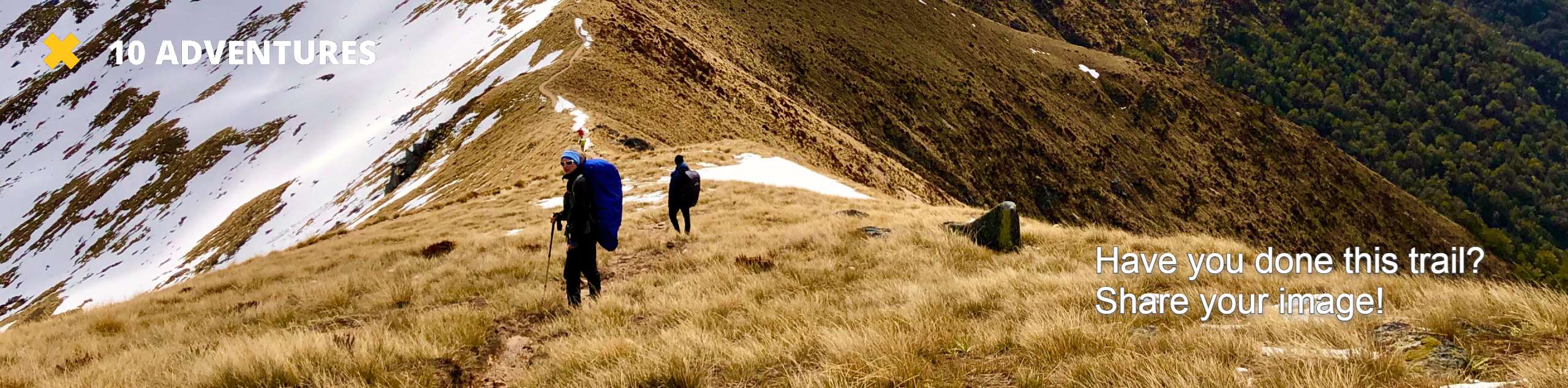
Dinosaur Falls Trail
View Photos
Dinosaur Falls Trail
Difficulty Rating:
Dinosaur Falls Trail is a beautiful route within Inyo National Forest. Easily accessible, the route is ideal for families with young children and those seeking a more casual hiking experience. Along its extent you can enjoy breathtaking views of the surrounding mountainous landscape.
Getting there
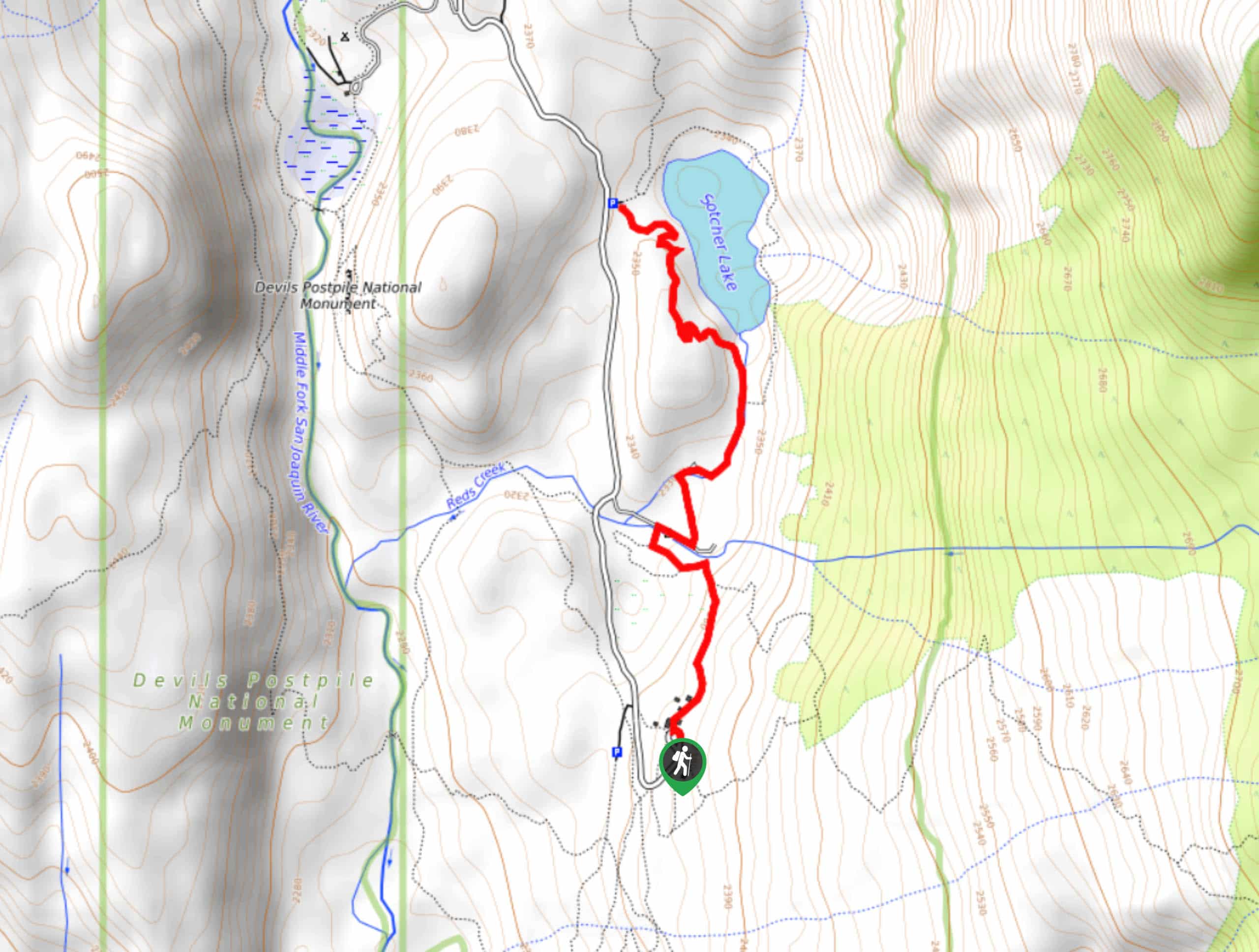
The trailhead for Dinosaur Falls Trail is located off of Red’s Circle Road.

About
| Backcountry Campground | |
| When to do | June-October |
| Pets allowed | No |
| Family friendly | Yes |
| Route Signage | Average |
| Crowd Levels | Moderate |
| Route Type | Out and back |
Dinosaur Falls Trail
Elevation Graph
Weather
Dinosaur Falls Trail Description
While throughout much of the hiking season Dinosaur Falls Trail is moderately trafficked, on weekends and holidays it can become rather busy. Parking can therefore be hard to acquire at certain times of the year, so it is suggested you arrive earlier in the day so as to not have any issues. A shuttle bus also exists to save you the effort of locating parking.
After locating the trailhead, follow the northernmost pathway towards Reds Meadow Campground. Having traveled a few hundred feet, you will arrive at a quick succession of junctions within the trail. Continue to follow the northernmost pathway through each junction before crossing Reds Creek.
The Dinosaur Falls Trail will travel along a paved section of roadway for a short distance before delivering you to a pathway. Follow the pathway as it makes its way north towards Sotcher Lake and, after arriving at the lake’s western shore, take the opportunity to enjoy the sights! Once you’re ready, backtrack your steps towards the parking lot.
Similar hikes to the Dinosaur Falls Trail hike

Valentine Lake Trail
An underrated route within Inyo National Forest, Valentine Lake Trail is without a doubt worth the effort! Boasting sublime scenery…

Mountain View and 3S89 Road Loop
Mountain View and 3S89 Road Loop is a delightful route within Inyo National Forest. Leading you through a lovely forested…
Bennettville Trail
The Bennettville Trail is an easily accessible, family-friendly route within Inyo National Forest. The route takes you alongside charming creeks…
Comments