Grand Teton National Park Pathway Hike
View Photos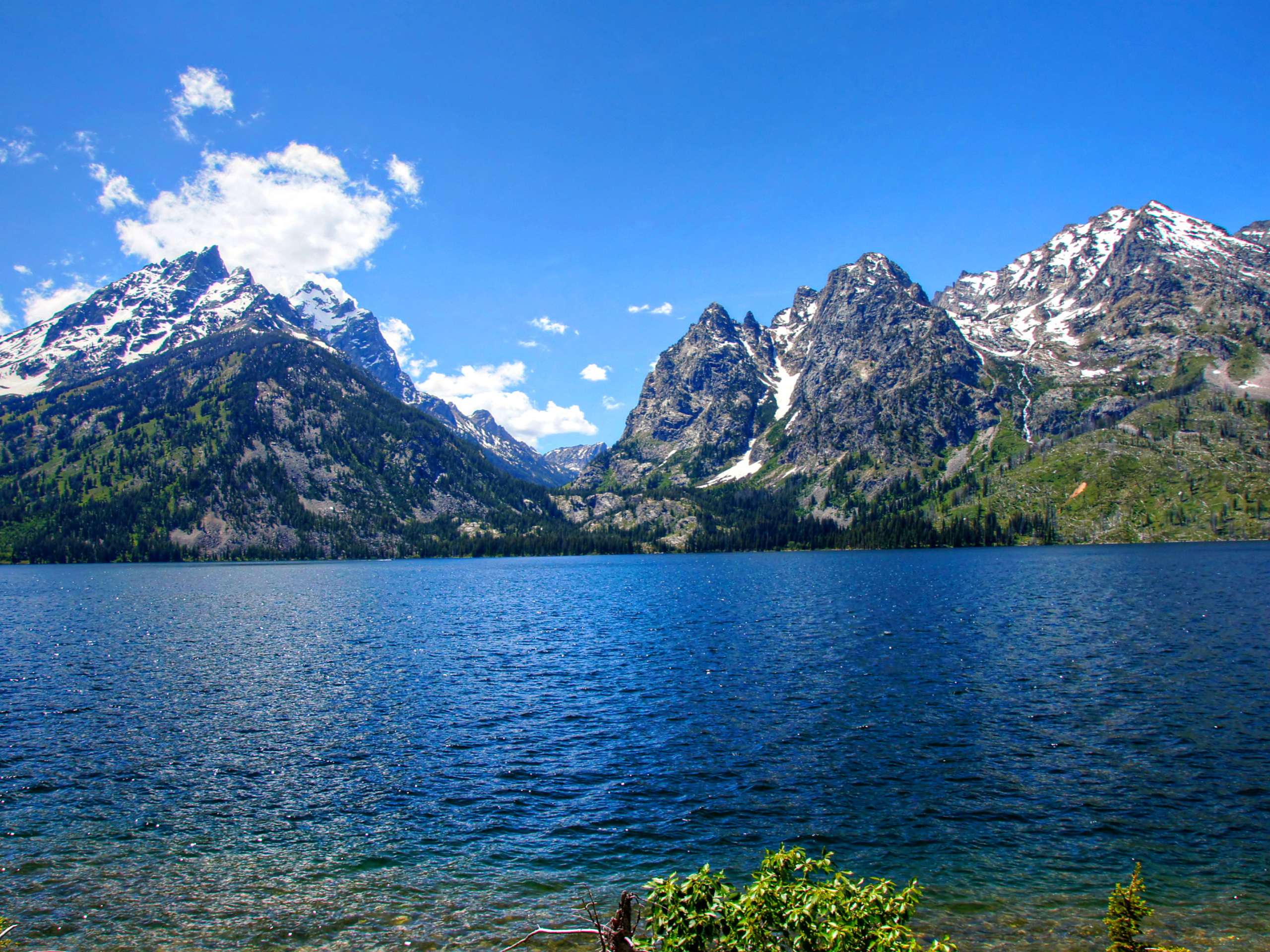
Grand Teton National Park Pathway Hike
Difficulty Rating:
The Grand Teton National Park Pathway is an impressively scenic trail that extends along the foot of the Teton Range, showcasing the beauty and grandeur of the craggy mountains. Exhibiting the park’s topographic contrast, in addition to the area’s native flora and fauna, this adventure is a staple.
Getting there
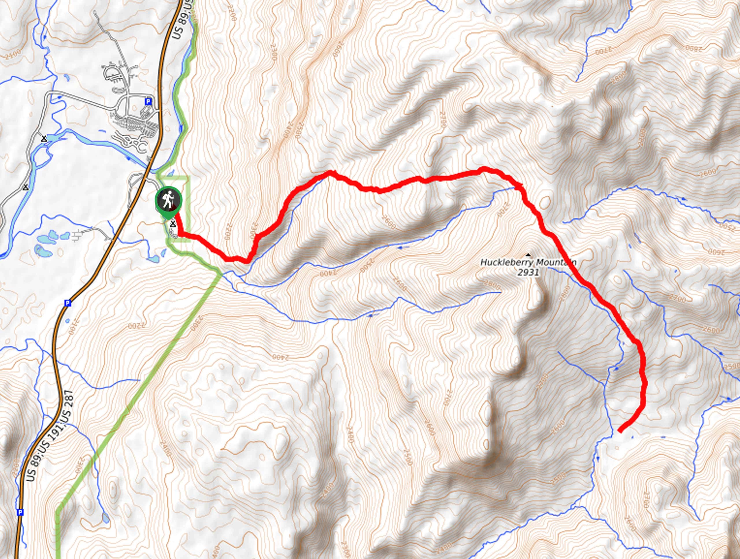
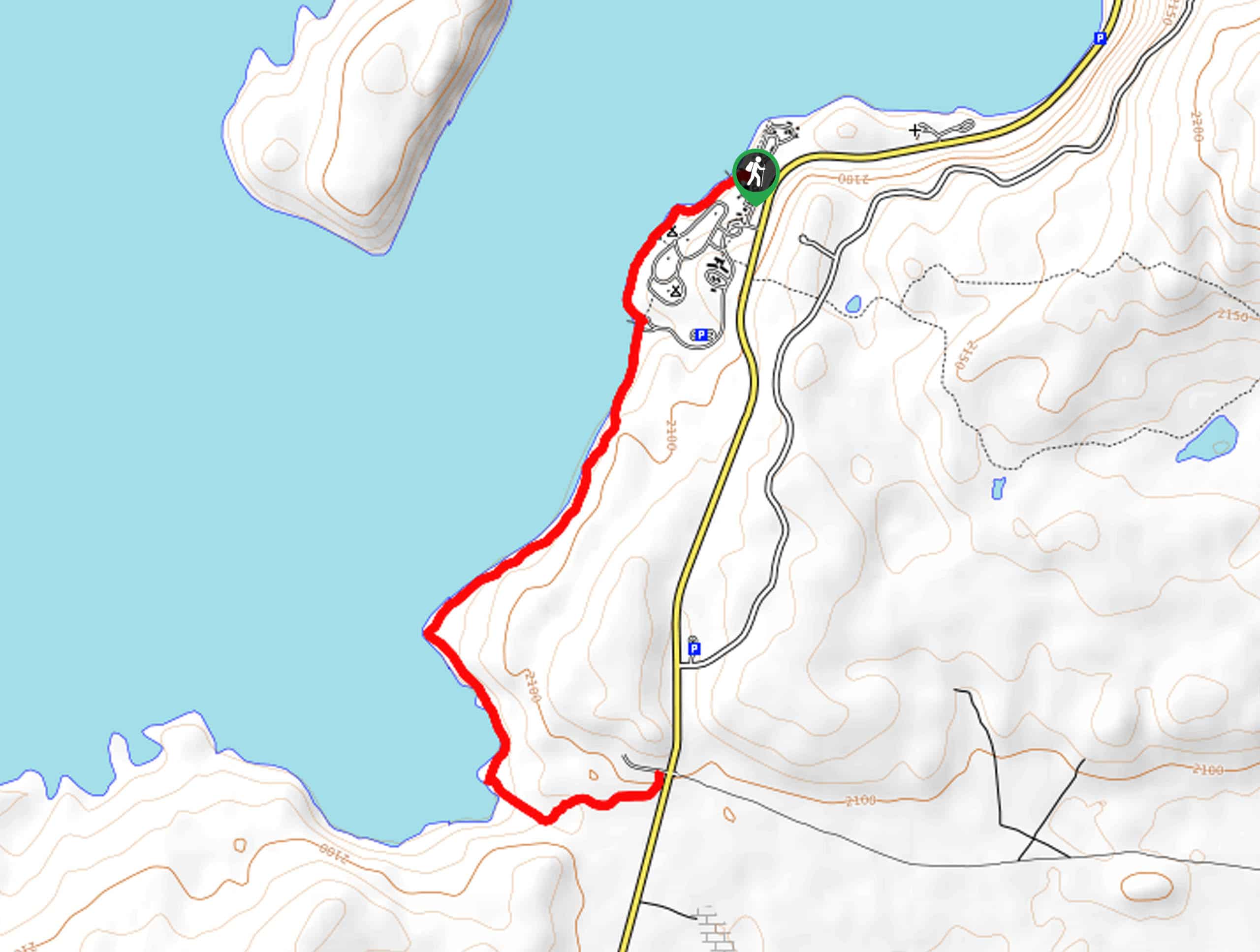
The Grand Teton National Park Pathway departs from the North 89 Pathway Trailhead off North Highway 89.

About
| Backcountry Campground | Backcountry Camping, wilderness permit required. |
| When to do | March-October |
| Pets allowed | No |
| Family friendly | Yes |
| Route Signage | Average |
| Crowd Levels | Moderate |
| Route Type | One Way |
Grand Teton National Park Pathway Hike
Elevation Graph
Weather
Grand Teton National Park Pathway Hike Description
The Grand Teton National Park Pathway is a well-maintained route that traces the Teton Park Road, showcasing some of the most impressive scenery in the park. One of the few routes accessible for bikers, this shared route sees moderate traffic, so you will likely enjoy solitude in the mornings and evenings. Offering breathtaking views of the Teton Mountains, this route is exposed to the elements, so check the forecast and dress accordingly. Additionally, as it is a one-way adventure, make sure you arrange for pickup at the trail’s end. Note the Grand Teton National Park charges an entrance fee; refer to the NPS website for additional information.
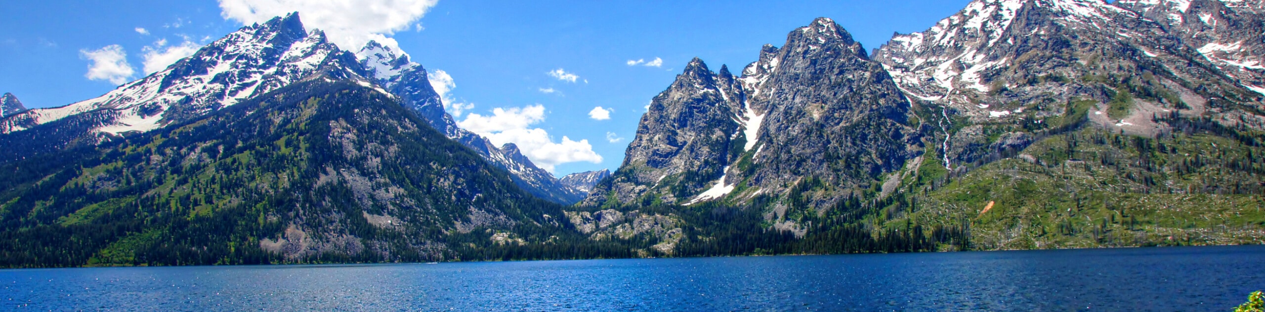
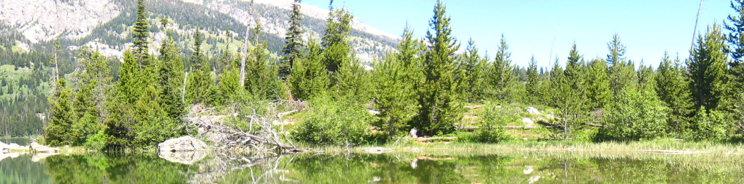
Setting out from the southern trailhead, the Grand Teton National Park Pathway crosses over the Snake River before redirecting north, running parallel to the Teton Mountains. Revel in the grandeur of the towering chain of snow-capped summits that bound the western side of the Jackson Hole and enjoy views of the Gros Ventre Mountains flanking the valley in the east. Notice Grand Teton and the surrounding Cathedral Group rising above all the other summits, commanding the range.
Eventually, the path will appear to end, merge onto the Jenny Lake Loop Trail, and trace the shoreline of the glacial pool mirroring the mountainscape. At the Jenny Lake Overlook, connect with the Jenny Lake Loop Road, which will ultimately deliver you to the parking lot, marking the end of your adventure.
Similar hikes to the Grand Teton National Park Pathway Hike hike
Sheffield Creek Trail
Located on the border of the Yellowstone and the Grand Tetons National Parks, the Sheffield Creek Trail has remained relatively…
South Landing Trail
Hiking the South Landing Trail is a pleasant experience. This lovely footpath traces the southeastern shore of Jackson Lake, boasting…
Delta Lake via Taggart Lake Hike
Rise and shine, it's time to climb! The Delta Lake via Taggart Lake Hike is a marvelous adventure into the…
Comments