
Sheffield Creek Trail
View Photos
Sheffield Creek Trail
Difficulty Rating:
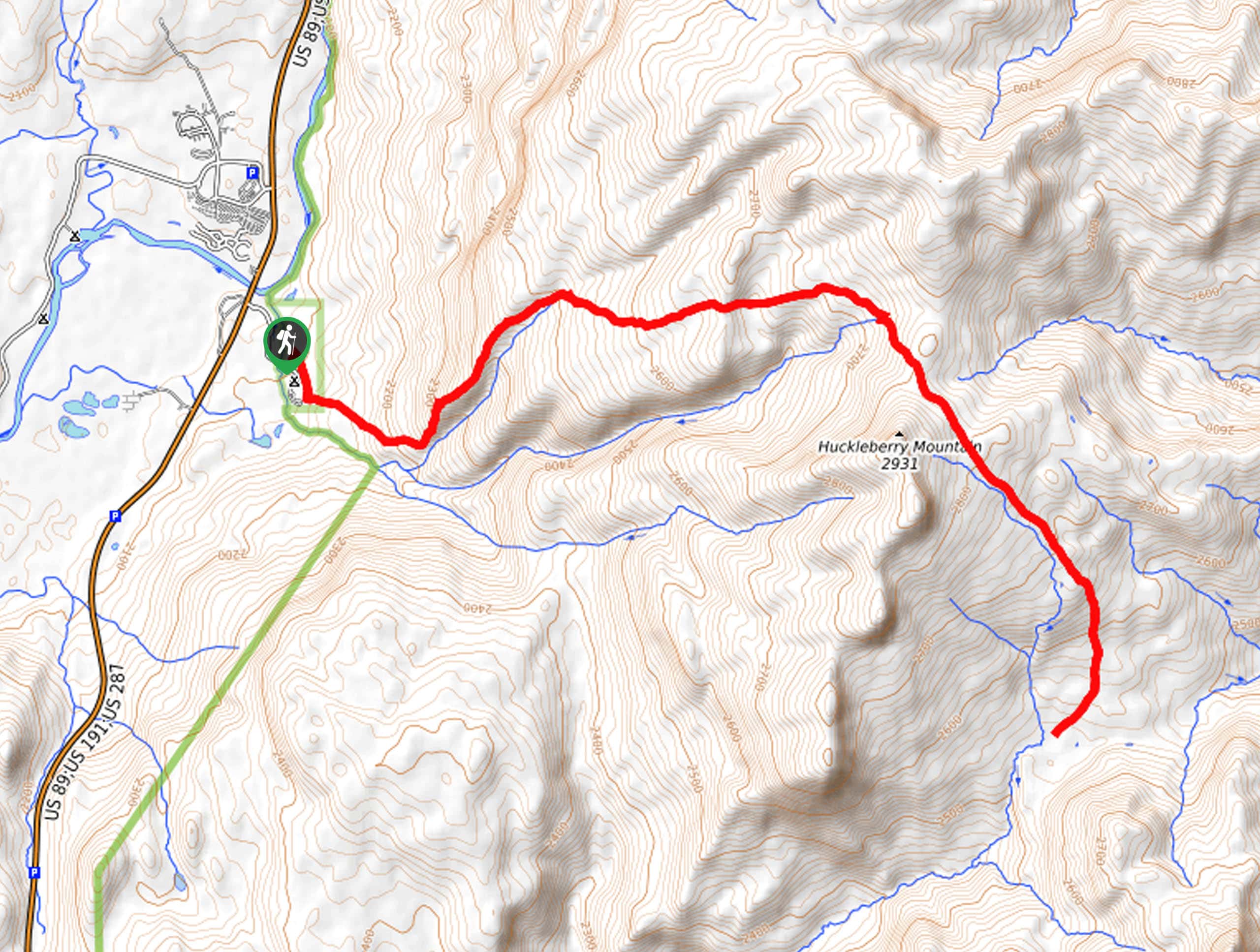
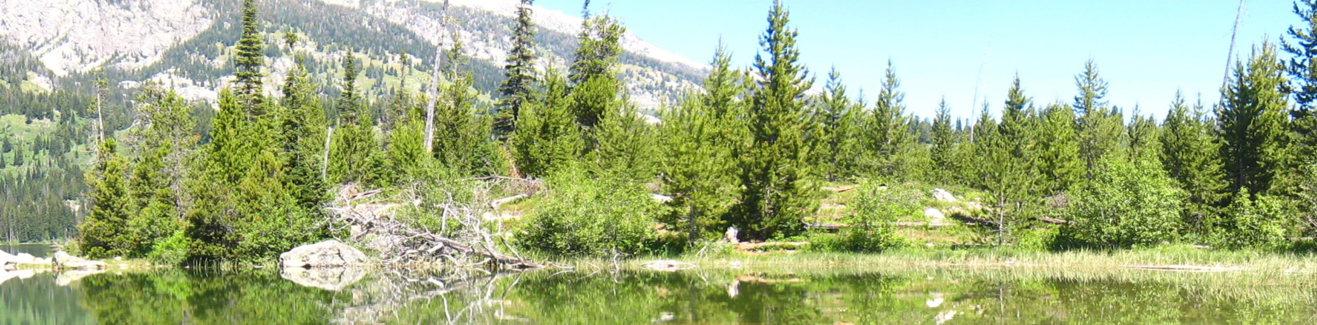
Located on the border of the Yellowstone and the Grand Tetons National Parks, the Sheffield Creek Trail has remained relatively undiscovered. Traveling deep into the backcountry, this scenic route boasts the opportunity for wildlife viewing as you explore lush meadows and dense woodlands bisected by beautiful creeks.
Getting there
Find the trailhead in the Sheffield Campground off the Sheffield Creek Forest Access Road.

About
| Backcountry Campground | |
| When to do | April-October |
| Pets allowed | No |
| Family friendly | Yes |
| Route Signage | Average |
| Crowd Levels | Moderate |
| Route Type | Out and back |
Sheffield Creek Trail
Elevation Graph
Weather
Sheffield Creek Trail Description
Immerse yourself in the backcountry and reconnect with nature along the Sheffield Creek Hike. This primitive route travels through a diversity of landscapes often abundant with wildlife. When exploring this area, especially this secluded trail, we encourage at least one person in your party to carry bear spray and make sure you are aware of the procedure if an encounter does occur. Reserved for intermediate and experienced hikers, this route will challenge you, but the payoff along the way is well worth the sweat! Note the Grand Teton National Park charges an entrance fee; refer to the NPS website for additional information.
Setting out from the trailhead in the campground, the Sheffield Creek Trail travels southeastward for a few steps before diverting northeast. Gradually climbing, the path will travel above the creek before dipping down to the stream. Enjoy the sounds of the babbling water as you ascend through the lush vegetation towards Huckleberry Mountain. From here, you will be granted wonderful views of the Teton Mountains commanding the skyline in the southwest. After some hiking, you will reach a junction with the Arizona Creek Trail, keep right and hike down along the Arizona Creek.
When you ultimately confront an intersection with the Rodent Creek Trail, you have met your turnaround point. From here, simply retrace your footsteps back to the trailhead.
Similar hikes to the Sheffield Creek Trail hike
Delta Lake via Taggart Lake Hike
Rise and shine, it's time to climb! The Delta Lake via Taggart Lake Hike is a marvelous adventure into the…
South Fork Cascade Canyon to Hurricane Pass Hike
Explore the alpine oasis and enjoy unrivaled views of the Teton Mountains as you trek the South Fork Cascade Canyon…
Icefloe Lake Hike
Beckoning the exploration of intrepid spirits, the Icefloe Lake Hike is not for the faint of heart. Travel into the…
Comments