Delta Lake via Taggart Lake Hike
View Photos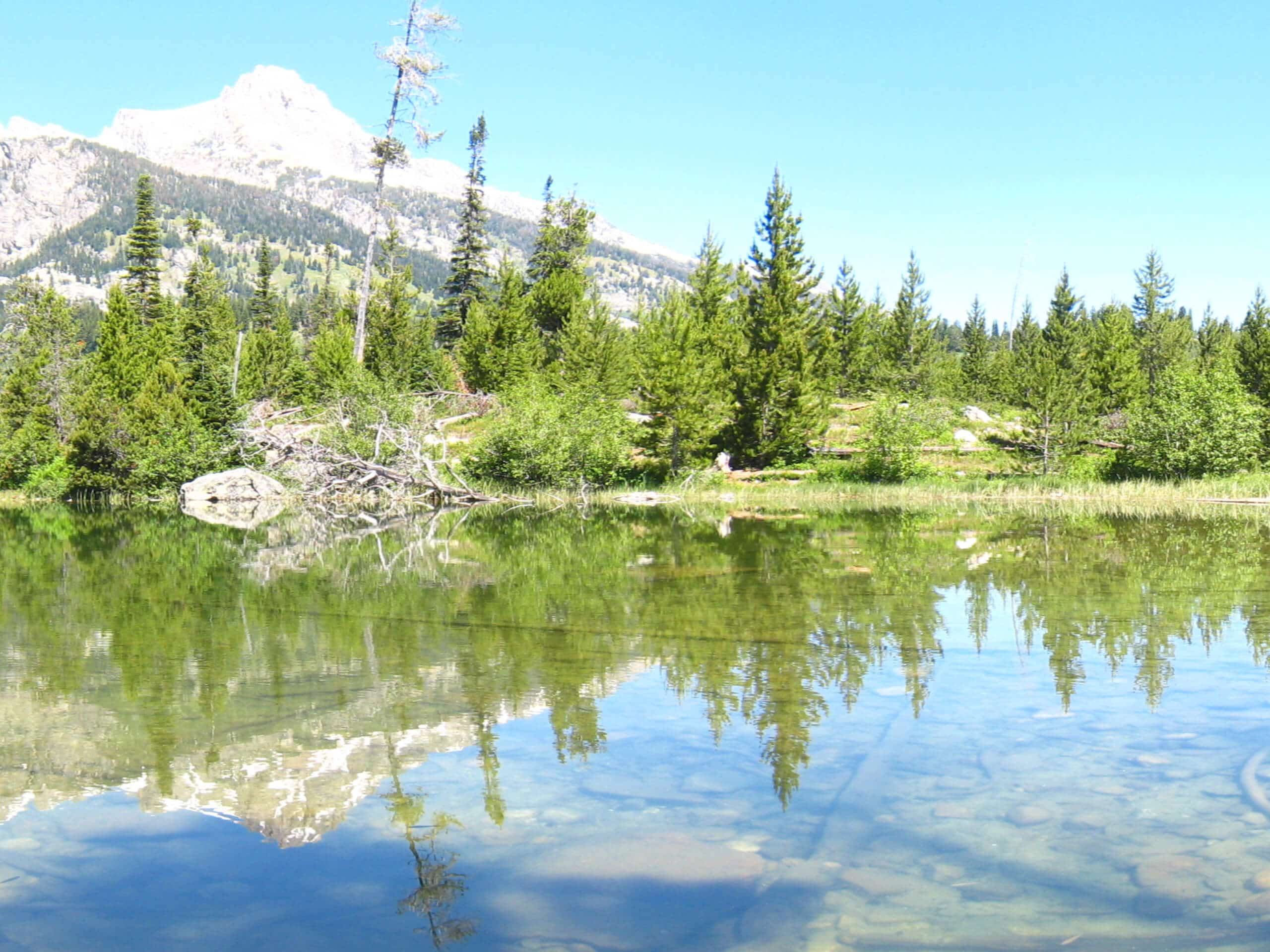
Delta Lake via Taggart Lake Hike
Difficulty Rating:
Rise and shine, it's time to climb! The Delta Lake via Taggart Lake Hike is a marvelous adventure into the Teton Mountains that will surely get your heart racing. Demanding a small scramble and some off-trail navigation, this stimulating trek will keep you on your toes!
Getting there
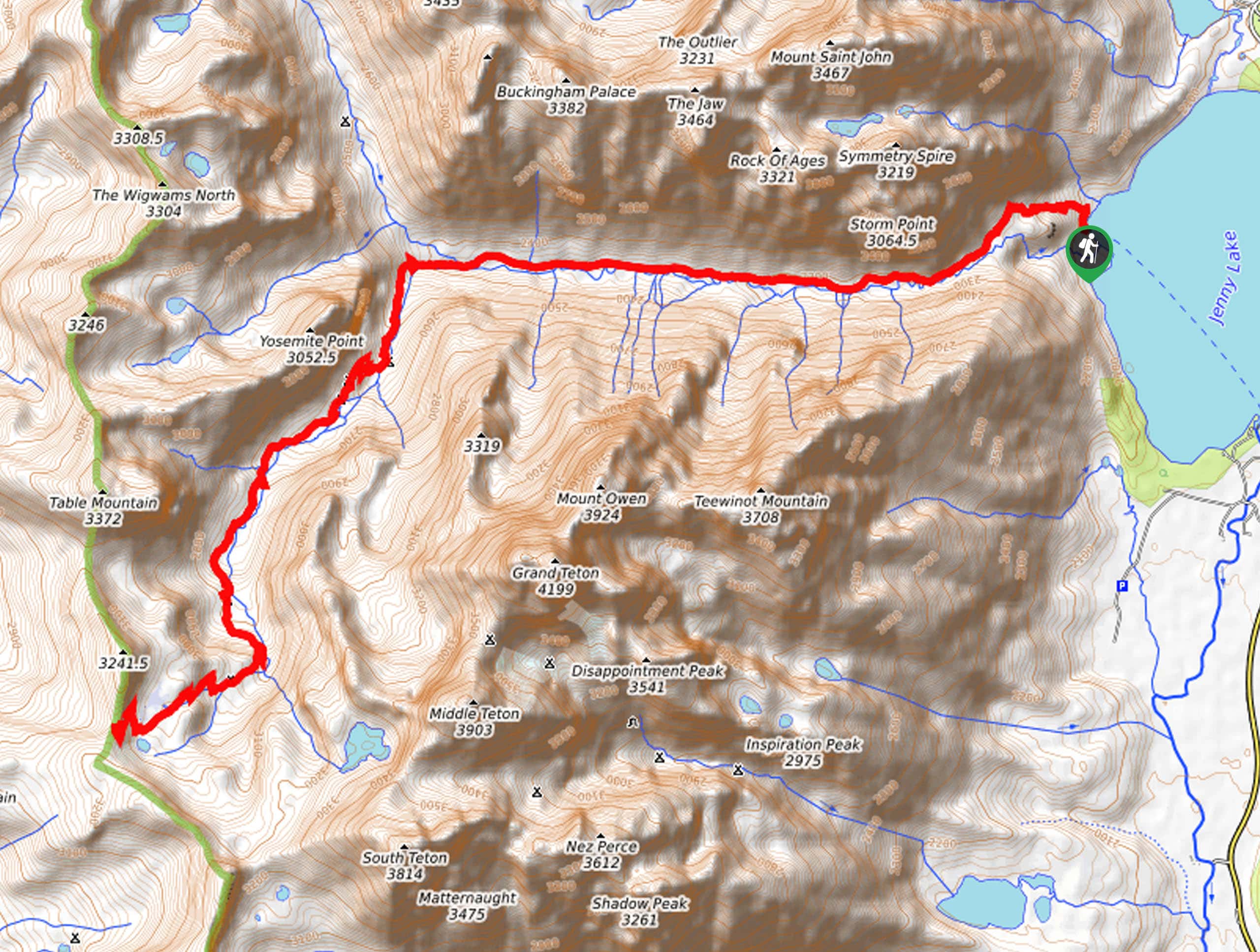
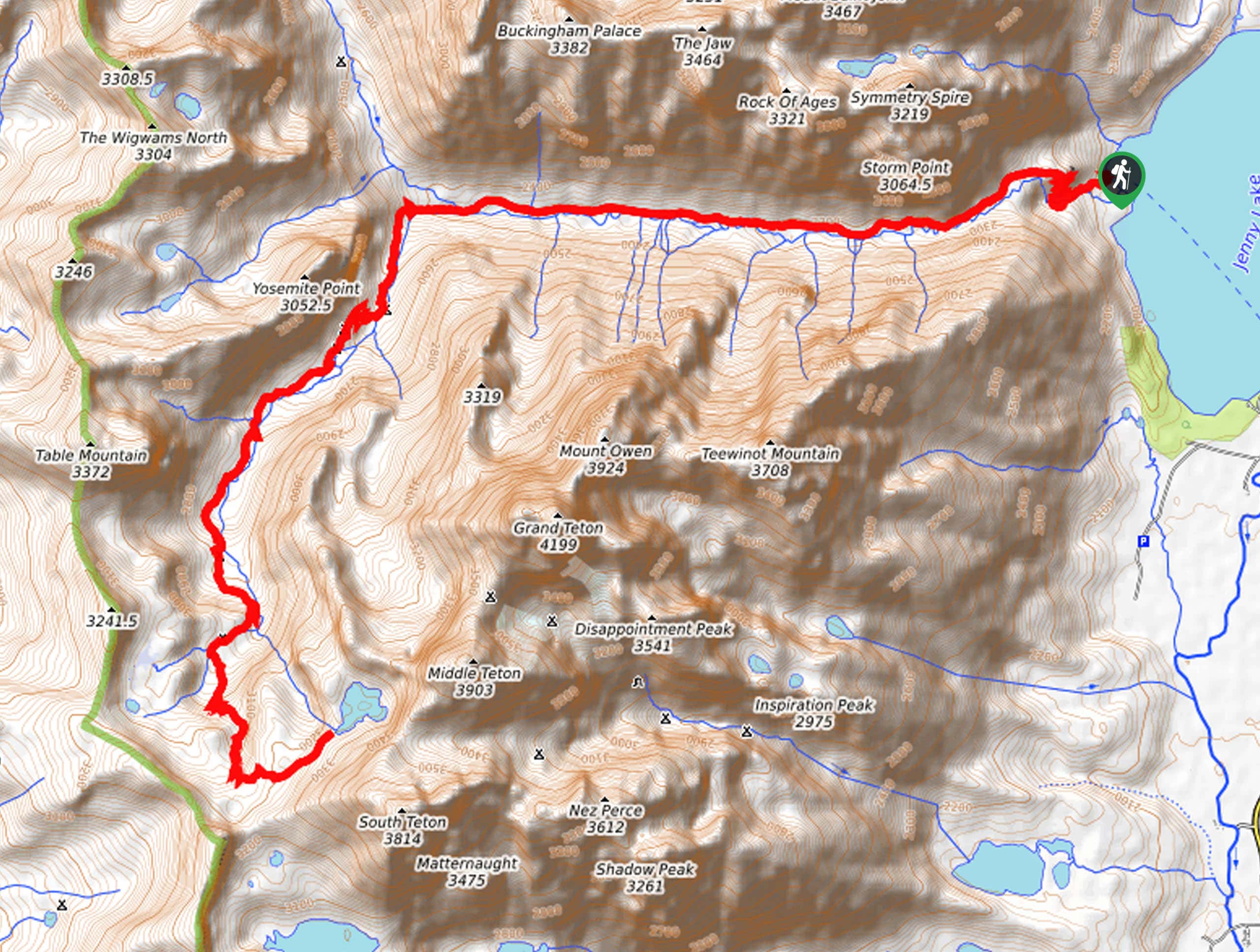
Access this hike via the Taggart Lake Trailhead off Teton Park Road.

About
| Backcountry Campground | Backcountry Camping, wilderness permit required. |
| When to do | May-September |
| Pets allowed | No |
| Family friendly | No |
| Route Signage | Poor |
| Crowd Levels | Moderate |
| Route Type | Out and back |
Delta Lake via Taggart Lake Hike
Elevation Graph
Weather
Delta Lake via Taggart Lake Hike Description
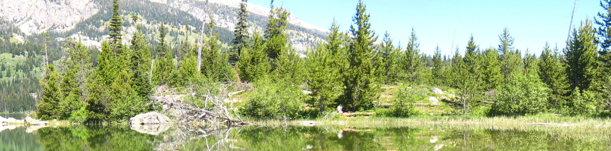
Get a wicked workout in as you hike Delta Lake via Taggart Lake Trail. This challenging high-country hike exhibits the beauty and grandeur of the Teton Mountain Range as you wander past several alpine pools before ascending the craggy mountainside. Make sure you have a sturdy pair of footwear and dress in layers! As with all hikes in the area, make sure you have bear spray handy. Additionally, as the tail end of this route travels along an unofficial trail, we encourage trekkers to download the trail GPS prior to departure. Note that Grand Teton National Park charges an entrance fee; refer to the NPS website for additional information.
Once your shoes are tied, and the trail GPS is downloaded, begin your adventure from the Taggart Lake Trailhead. Setting out from here, take the northbound Taggart Lake Loop Trail over Taggart Creek and up to the shoreline. Here, turn right, and you will be redirected onto the Valley Trail, which will climb up to Bradley Lake and subsequently deliver you to an intersection. Merging onto the Garnet Canyon Trail, you will be led up a set of switchbacks through the valley. After some hiking, you will turn right onto the Delta Lake Trail.
This primitive route will demand the ascent of a boulder field as you approach the last mile to Delta Lake. Using the trail GPS or following the rock cairns, you will ultimately reach Delta Lake. Admire the picturesque blue hue of the crystalline glacial lake and its bounding craggy ridges. Admire the beauty of the surrounding mountainscape and the views of the Jackson Hole. After reveling in the scenery, carefully head back down the way you came.
Similar hikes to the Delta Lake via Taggart Lake Hike hike
Sheffield Creek Trail
Located on the border of the Yellowstone and the Grand Tetons National Parks, the Sheffield Creek Trail has remained relatively…
South Fork Cascade Canyon to Hurricane Pass Hike
Explore the alpine oasis and enjoy unrivaled views of the Teton Mountains as you trek the South Fork Cascade Canyon…
Icefloe Lake Hike
Beckoning the exploration of intrepid spirits, the Icefloe Lake Hike is not for the faint of heart. Travel into the…
Comments