
Arizona Creek Trail
View Photos
Arizona Creek Trail
Difficulty Rating:
The Arizona Creek Trail is a relatively secluded adventure on the eastern border of the Grand Teton National Park that explores lush meadows and mixed-forestlands abundant with a variety of flora and fauna. Explore the unspoiled wilderness and enjoy tranquility along this route.
Getting there
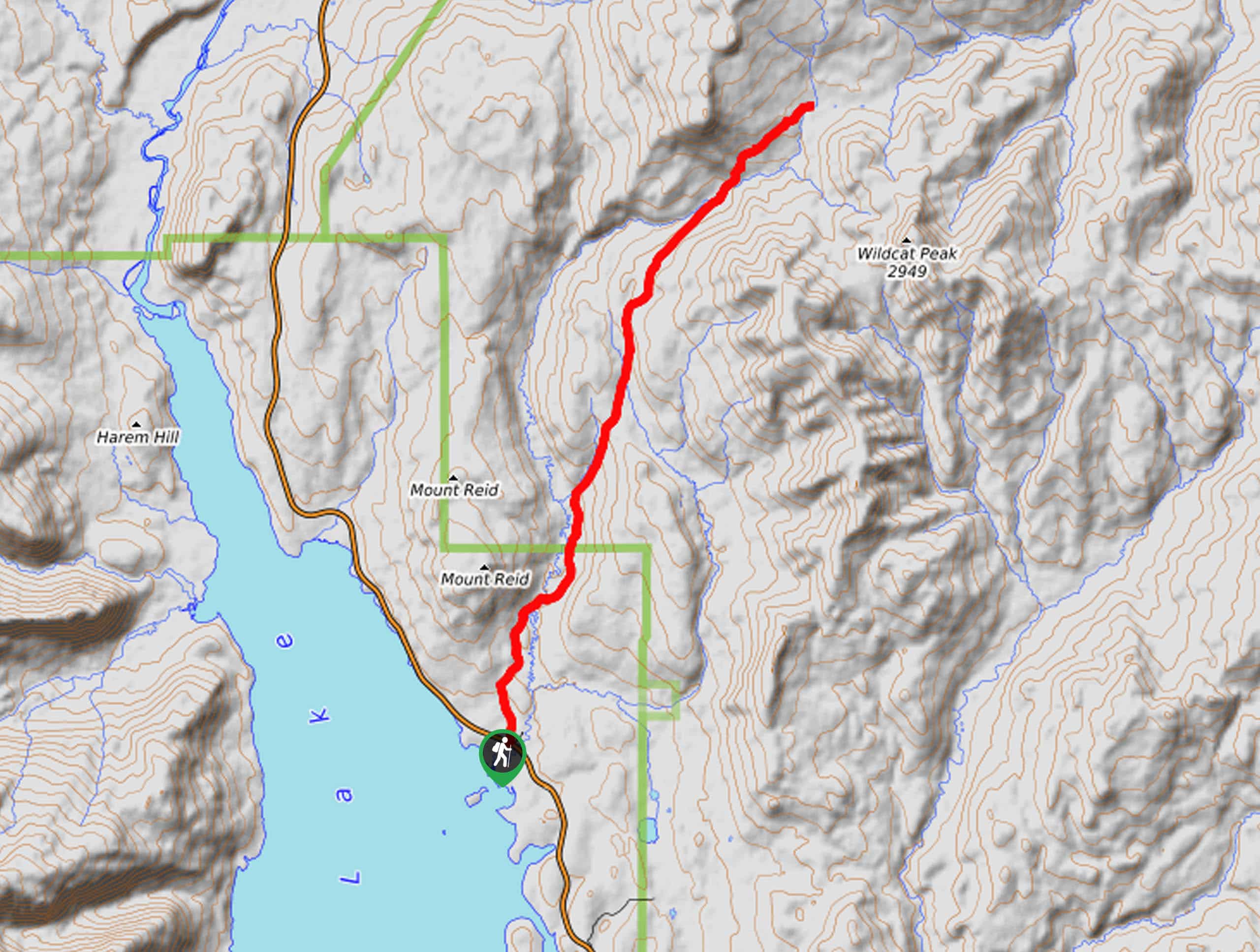
Access this hike via the trailhead off North Park Road.

About
| Backcountry Campground | Backcountry Camping, wilderness permit required. |
| When to do | March-October |
| Pets allowed | No |
| Family friendly | No |
| Route Signage | Average |
| Crowd Levels | Moderate |
| Route Type | Out and back |
Arizona Creek Trail
Elevation Graph
Weather
Arizona Creek Trail Description
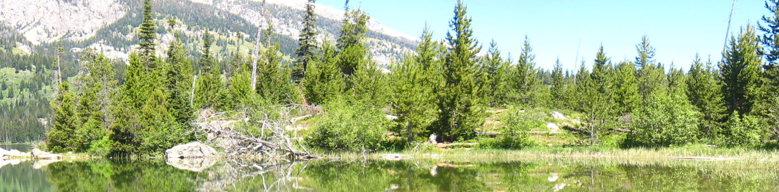
Located on the eastern boundary of the Grand Teton Mountain Range, the Arizona Creek Trail has remained fairly undiscovered, which we love! This incredible trek is not difficult due to its terrain. Instead, it’s the distance that demands a bit of a sweat, though intermediate hikers would be able to manage just fine. As with all adventures in the area, we encourage you or someone in your party to carry a can of bear spray and know how to use it! Note the Grand Teton National Park charges an entrance fee; refer to the NPS website for additional information.
Setting out from the parking lot and trailhead, the Arizona Creek Trail travels north through a forested canyon bisected by Arizona Creek. As you hike, you will be lulled into a state of relaxation by the sounds of the gurgling creek. Take your time as you climb and keep an eye out for soaring birds above and camouflaging wildlife in the woodlands. After some hiking, the path will demand a steep ascent out of the valley before plateauing.
Following the Arizona Creek Trail for the entirety of your hike, you will eventually reach your turnaround point at the junction with the Rodent Creek Trail. From here, simply retrace your footing along the path back to the trailhead.
Similar hikes to the Arizona Creek Trail hike
Sheffield Creek Trail
Located on the border of the Yellowstone and the Grand Tetons National Parks, the Sheffield Creek Trail has remained relatively…
Delta Lake via Taggart Lake Hike
Rise and shine, it's time to climb! The Delta Lake via Taggart Lake Hike is a marvelous adventure into the…
South Fork Cascade Canyon to Hurricane Pass Hike
Explore the alpine oasis and enjoy unrivaled views of the Teton Mountains as you trek the South Fork Cascade Canyon…
Comments