Walupt Creek Falls Hike
View Photos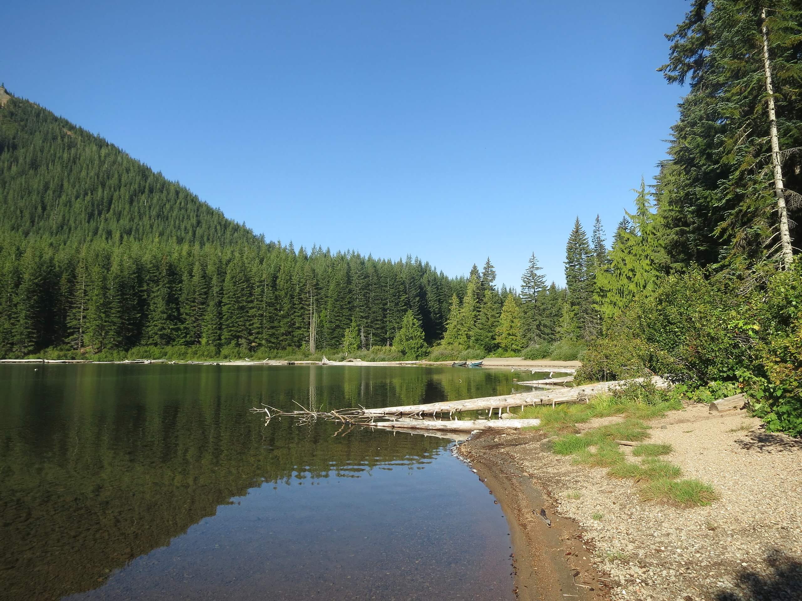
Walupt Creek Falls Hike
Difficulty Rating:
Really looking for an adventure? The Walupt Creek Falls is just that. There is no visible trailhead for this hike, no signage, no cell service, and no discernable designated parking. This trail is unofficial and unmaintained, making it subject to extreme overgrowth. We said it was an adventure, right?
The trail is only 2.0mi long, but please prepare accordingly.
Getting there
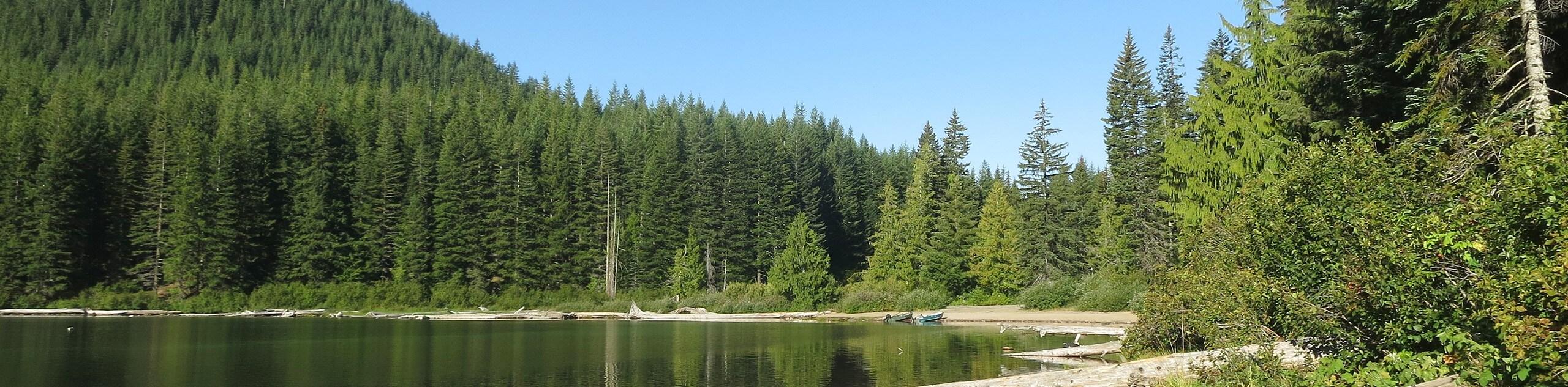
The trailhead for Walupt Creek Falls is on Walupt Lake Road across from the horse camp.

About
| Backcountry Campground | No |
| When to do | March-November |
| Pets allowed | No |
| Route Signage | Poor |
| Crowd Levels | Low |
| Route Type | Out and back |
Walupt Creek Falls Hike
Elevation Graph
Weather
Walupt Creek Falls Hike Description
Walupt Creek Falls isn’t for the faint of heart, but it’ll do the trick for intrepid adventurers. This short, hard trail isn’t actually a designated or maintained trail at all. It leads you to a magnificent waterfall that you’ll quite likely have all to yourself.
There isn’t any defined parking at the trailhead, so use your judgement in finding a safe place to park. Additionally, the trailhead isn’t obvious whatsoever, so we recommend downloading your GPS track before starting the drive to help you get to the right spot. There is no cell service near the trailhead and you’ll want a downloaded track to follow in case you find yourself getting lost, which is possible on this hike.
Head up across Walupt Creek. This section of trail may flood in the rain- yes, the hazards never end! Expect a bushy, overgrown route as you follow the creek to the falls. As long as you hug the creek, you should be able to reach the falls. If you lose the creek, try to return to it.
Arrive at the falls. You can head down the slope to view them from the base if you’d like. They’re quite impressive! When you’re ready retrace your steps back to the trailhead.
Similar hikes to the Walupt Creek Falls Hike hike

Ptarmigan Trail
Ptarmigan Trail is a 4.2mi moderate trail near the base of Mount Saint Helens. This trail is suitable…

Lakes Trail #211 Loop
The Lakes Trail #211 Loop is used as both a full-day hike and for backpacking trips. This trail isn’t for…

Boundary West Trail
Boundary West Trail is a hike near Mount Saint Helens that doesn’t see much traffic, making it a nice pick…
Comments